Amistad National Recreation Area
Designation: National Recreation Area
Location: Texas
📘 Park Overview
An oasis in the desert, Amistad National Recreation Area consists of the US portion of the International Amistad Reservoir. Amistad, a Spanish word meaning "friendship," is known for excellent water-based recreation, camping, hiking, and rich cultural history dating back nearly 5,000 years. Amistad is also home to a wide variety of plant and animal life both above and below the water.
🌤 Weather Information
Weather in Southwest Texas can change in a matter of minutes. It is best to check the local weather report. Amistad National Recreation Area usually has hot summers and mild winters. For more information, please visit the park's Current Conditions page at https://www.nps.gov/amis/planyourvisit/conditions.htm.
🚗 Directions
Amistad National Recreation Area is located on the US-Mexico border 7 miles west of the Del Rio city limit and 6 miles west of the US Highway 90 and 277 North intersection. The park is 160 miles west of San Antonio on US Highway 90 and about 230 miles east of Big Bend National Park via US Highway 90 and US Highway 385. Access to Amistad from the north or south is via US 277/377. The visitor center address is 10477 Highway 90 West, Del Rio, TX 78840.
Images
Enjoy the serenity of sunset at Amistad National Recreation Area's Governors Landing Day Use Area.
Credit: NPS / E Paola
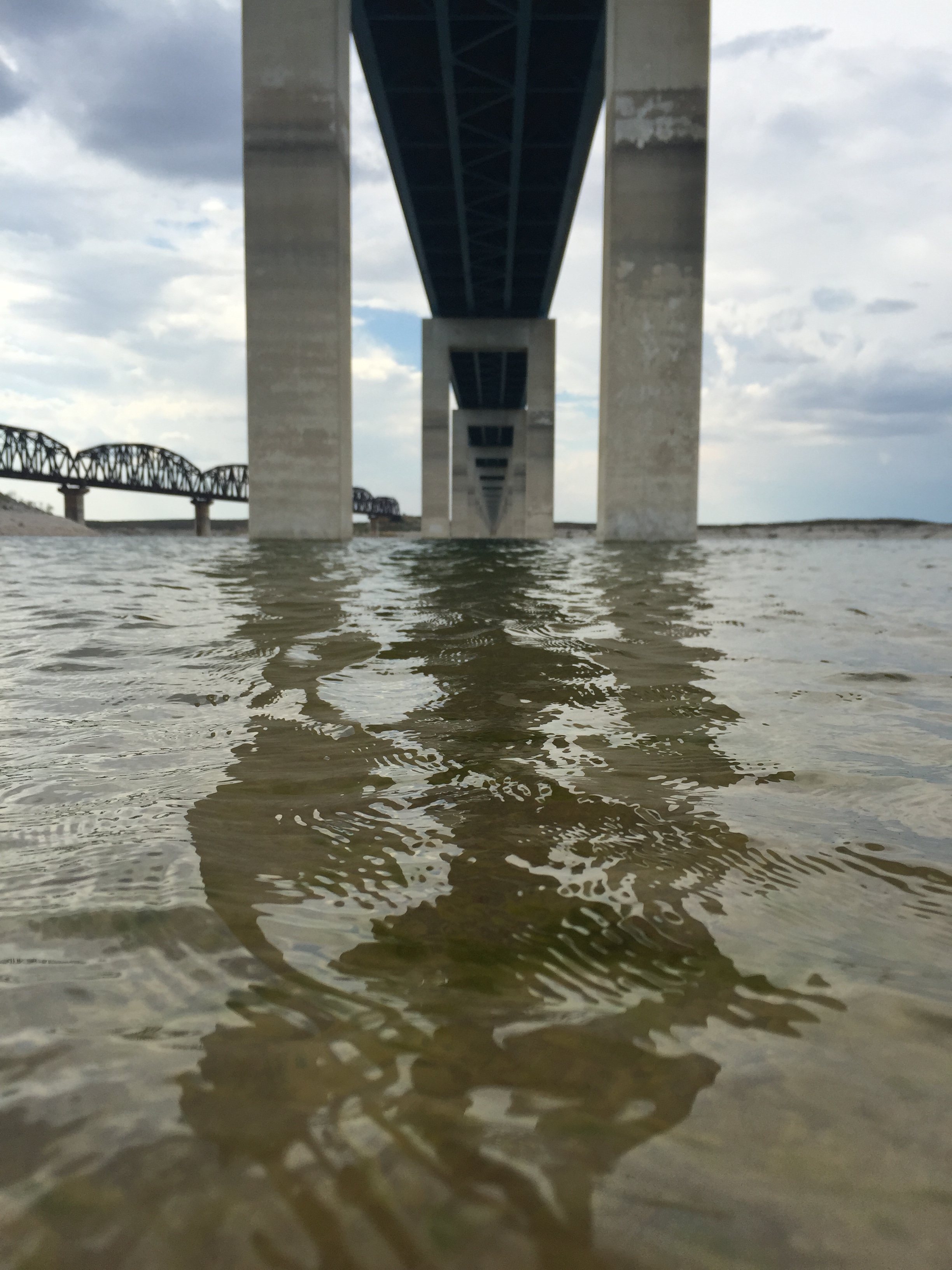
Blue skies and blue waters are common at Amistad National Recreation Area
Credit: A. Curtis
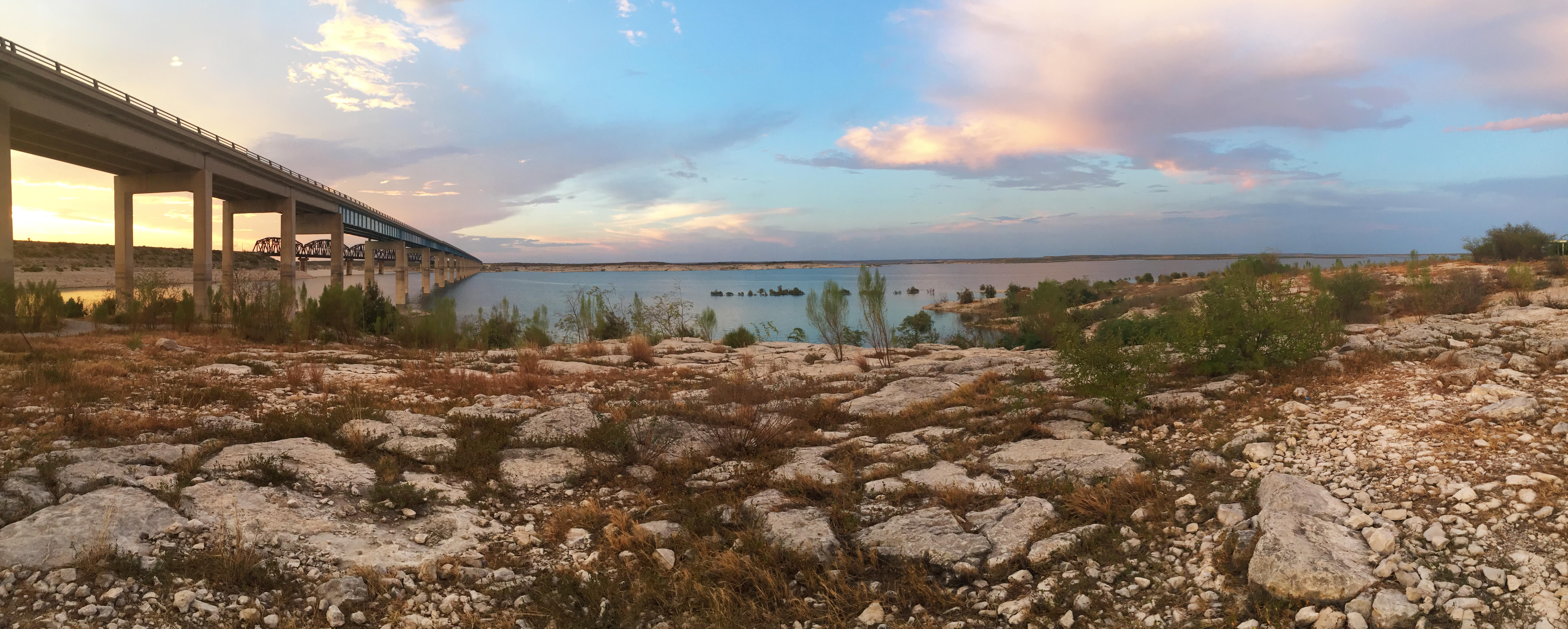
A view of the Amistad Reservoir and the HWY 90 Bridge from Governors Landing.
Credit: Photo by: M. Galvan
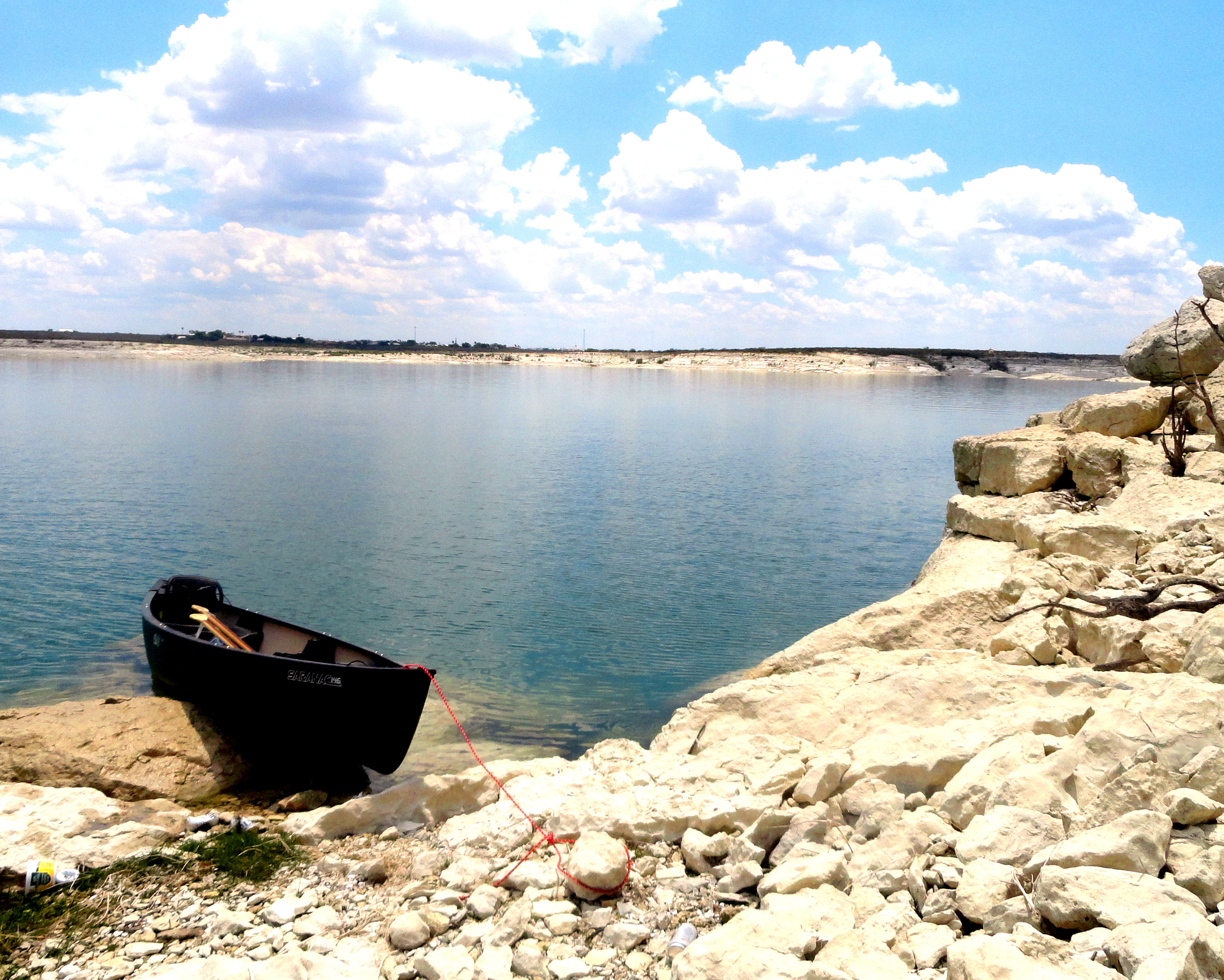
A peaceful view of the shores along Amistad National Recreation Area
Credit: Photo by: Cesha Hernandez

The ever chainging and beautiful sunsets in Southwest Texas are one of the many things visitor enjoy while at Amistad National Recreation Area.
Credit: Photo by: George Bruce

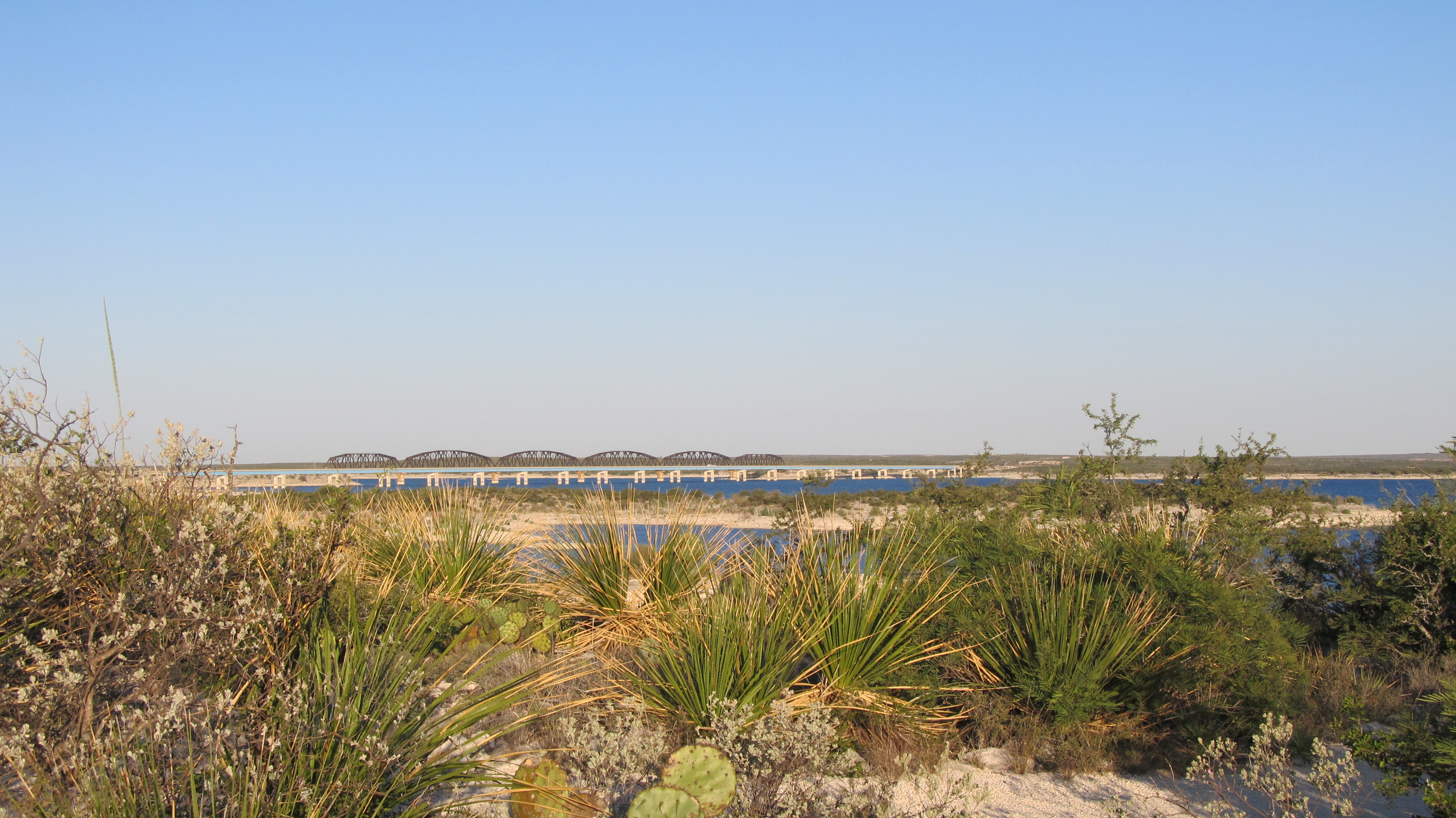
Limestone is visible along the shoreline of Amistad National Recreation Area.
Credit: Photo by: Octavio Garcia
Activities
Topics
Operating Hours
Entrance Fees
No entrance fees listed.
Entrance Passes
No entrance passes listed.
3-Day Weather Forecast
Thursday, Jul 16

Sunny
High: 80.1°F | Low: 72°F
Humidity: 87%
Wind: 20.1 mph
Rain Chance: 82%
UV Index: 9.7
Sunrise: 06:55 AM
Sunset: 08:46 PM
Moon: Waxing Crescent (8%)
Visibility: 5 mi
Dew Point: 74.3°F
Cloud Cover: 82%
Pressure: N/A mb
Air Quality (PM2.5): N/A
Ozone: N/A
EPA Index: N/A
Friday, Jul 17

Partly Cloudy
High: 88.3°F | Low: 73.9°F
Humidity: 71%
Wind: 22.4 mph
Rain Chance: 39%
UV Index: 8
Sunrise: 06:56 AM
Sunset: 08:45 PM
Moon: Waxing Crescent (15%)
Visibility: 6 mi
Dew Point: 72.5°F
Cloud Cover: 39%
Pressure: N/A mb
Air Quality (PM2.5): N/A
Ozone: N/A
EPA Index: N/A
Saturday, Jul 18
Sunny
High: 91.5°F | Low: 74.5°F
Humidity: 61%
Wind: 23.3 mph
Rain Chance: 57%
UV Index: 9.9
Sunrise: 06:56 AM
Sunset: 08:45 PM
Moon: Waxing Crescent (23%)
Visibility: 6 mi
Dew Point: 74.3°F
Cloud Cover: 57%
Pressure: N/A mb
Air Quality (PM2.5): N/A
Ozone: N/A
EPA Index: N/A
Weather Alerts (3)
Flood Warning issued July 15 at 8:17PM CDT until July 18 at 9:30AM CDT by NWS Austin/San Antonio TX
Effective: Jul 15, 2026 9:17pm
Expires: Jul 16, 2026 3:30pm
...The Flood Warning continues for the following rivers in Texas...
Cibolo Creek At Selma affecting Bexar and Guadalupe Counties.
Cibolo Creek at Sutherland Springs affecting Karnes and Wilson
Counties.
Cibolo Creek Near Falls City affecting Karnes County.
San Antonio River Near Elmendorf affecting Bexar and Wilson
Counties.
Medina River At Hwy 281 affecting Bexar County.
...The Flood Warning is extended for the following rivers in Texas...
Medina River At Bandera affecting Bandera County.
Devils River At Cauthorn Ranch Near Juno affecting Val Verde
County.
Devils River At Bakers Crossing 19N Of Comstock affecting Val
Verde County.
* WHAT...Minor flooding is forecast.
* WHERE...Devils River at Bakers Crossing 19N Of Comstock.
* WHEN...Until late Saturday morning.
* IMPACTS...At 6.0 feet, (1.8 meters), Minor lowland flooding
extends into low areas of the flood plain with no significant
impact.
At 8.0 feet, (2.4 meters), Moderate lowland flooding reaches the
Highway 163 bridge floor several miles below Juno. This level is
turbulent and dangerous for inexperienced swimmers, canoeists and
kayakers.
* ADDITIONAL DETAILS...
- At 7:15 PM CDT Wednesday the stage was 2.7 feet.
- Bankfull stage is 4.0 feet.
- Forecast...The river is expected to rise above flood stage
tomorrow evening to a crest of 7.9 feet early Friday morning.
It will then fall below flood stage late Friday evening.
- Flood stage is 6.0 feet.
- Flood History...This crest compares to a previous crest of
8.2 feet on 08/31/2022.
- http://www.weather.gov/safety/flood
Circulación ciclónica.
Effective: Jul 16, 2026 1:00pm
Expires: Jul 17, 2026 7:00am
Durante este día, se prevén lluvias intensas (75 a 150 mm), descargas eléctricas y fuertes rachas de viento.
Flood Warning issued July 15 at 8:17PM CDT until July 18 at 2:00AM CDT by NWS Austin/San Antonio TX
Effective: Jul 15, 2026 9:17pm
Expires: Jul 16, 2026 3:30pm
...The Flood Warning continues for the following rivers in Texas...
Cibolo Creek At Selma affecting Bexar and Guadalupe Counties.
Cibolo Creek at Sutherland Springs affecting Karnes and Wilson
Counties.
Cibolo Creek Near Falls City affecting Karnes County.
San Antonio River Near Elmendorf affecting Bexar and Wilson
Counties.
Medina River At Hwy 281 affecting Bexar County.
...The Flood Warning is extended for the following rivers in Texas...
Medina River At Bandera affecting Bandera County.
Devils River At Cauthorn Ranch Near Juno affecting Val Verde
County.
Devils River At Bakers Crossing 19N Of Comstock affecting Val
Verde County.
* WHAT...Minor flooding is forecast.
* WHERE...Devils River at Cauthorn Ranch Near Juno.
* WHEN...Until early Saturday morning.
* IMPACTS...At 6.0 feet, (1.8 meters), Water begins to run over the
road at many Hwy 163 low crossings.
At 7.0 feet, (2.1 meters), Low water crossings on the Devils River
become impassable, and motorists will have a risk of becoming
stranded between crossings.
At 8.0 feet, (2.4 meters), Several low crossings on Highway 163 on
the Devils River are flooded, and motorists may become stranded
between crossings for several hours.
At 10.0 feet, (3.0 meters), Numerous portions of Highway 163 along
the Devils River become flooded. Low water crossings and bridges
along the Devils River are impassable, and motorists may become
stranded between low spots for several hours.
* ADDITIONAL DETAILS...
- At 7:15 PM CDT Wednesday the stage was 4.4 feet.
- Bankfull stage is 7.0 feet.
- Forecast...The river will rise to 9.4 feet early Friday
morning.
- Flood stage is 8.0 feet.
- Flood History...This crest compares to a previous crest of
9.1 feet on 06/28/2016.
- http://www.weather.gov/safety/flood
Park Alerts
Park Events
"Sleepy-bird" First Day Hike on Sunrise Trail
Meet at the Diablo East Loop Trailhead. This is near the restrooms at the top of the Diable East boat ramp. The loop is 0.5miles, and there will be the option to extend to 1.2 miles.
Location: Trailhead near the restrooms and picnic area at the top of the Diablo East boat ramp.
Date: Jan 1, 2026 12:00am to Jan 1, 2026 12:00am
Paid Event
Early-bird First Day Hike on Sunrise Trail
Meet at the Spur 454 trailhead. This is the eastern end of the Sunrise Trail where it meets Spur 454. We'll have the sun at our backs for better seeing and photographing of birds and wildlife.
Location: The meeting place is 1.4 miles up Spur 454 from where it intersects with US Highway 90 and is the eastern trailhead for Sunrise Trail.
Date: Jan 1, 2026 12:00am to Jan 1, 2026 12:00am
Paid Event
Visitor Center & Contacts
📍 Physical Address:
10477 Highway 90 West
Del Rio, TX 78840
🏤 Mailing Address:
10477 Highway 90 West
Del Rio, TX 78840
📞 Voice Phone: (830) 775-7491
📞 Fax Phone: (830) 778-9248
✉️ Email: amis_interpretation@nps.gov