HIGH WATER AT STREAM CROSSINGS IN MAINE
Due to recent heavy rains, some stream crossings in Maine may be hazardous. the best course may be to wait for the waters to recede. If the water looks too dangerous to cross, it probably is. If the water looks fordable, follow the safety tips here ->
More Info
Trail and camping closure around Humpback Rocks in Virginia
Information
Due to a number of recent bear incidents, approximately 4 miles of the A.T. near the north end of the Blue Ridge Parkway near Humpback Rocks is closed to all visitors and 9.5 miles is closed to overnight camping. Click "more" for further details.
More Info
FLOODING POSSIBLE ACROSS THE MID-ATLANTIC THIS WEEK
Caution
Heavy rains – possibly 6 inches or more – may lead to minor flooding from Wednesday night into Friday. Highest risk is from central Pennsylvania across Maryland into Virginia. Small streams may experience flash flooding. A.T. hikers should be prepared.
More Info
FIRE DANGER REMAINS HIGH AND WATER SOURCES ARE DRY ALONG MUCH OF THE SOUTHERN A.T.
Caution
Although recent fire bans have been lifted along the A.T., fire danger remains high and many water sources are dry along much of the southern Appalachian Trail. Please use extreme caution when using stoves or any open flame. Consider carrying extra water.
More Info
A.T. Conditions Constantly Changing
Information
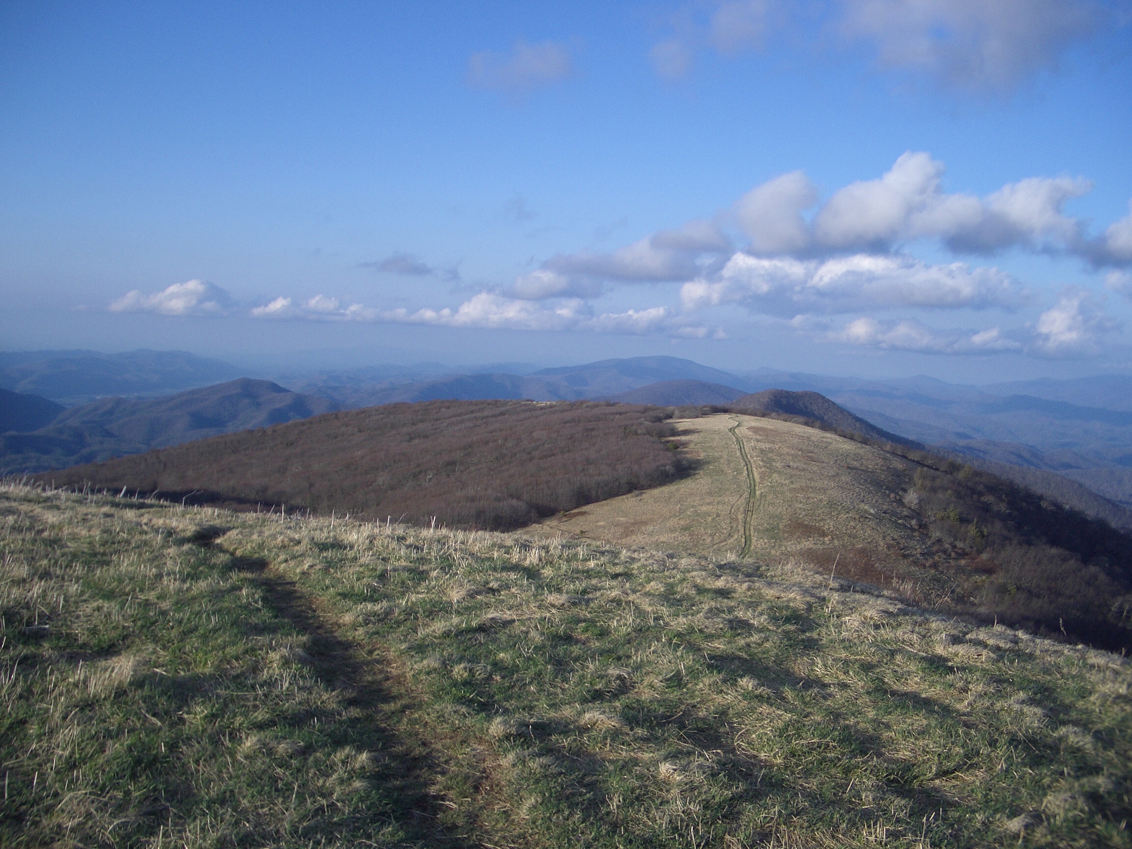
Traversing over 2,180 miles across 14 states, conditions on the A.T. are constantly changing. Trail users are encouraged to check with local land management agencies for conditions on their section of Trail or check out ATC's "Current Conditions" webpage.
More Info
POST STORM ALERT
Recent heavy rains may have caused normally shallow streams to become dangerous or led to hazardous tree conditions. To share hazardous conditions, please email: incidents@appalachiantrail.org. For considerations on crossing streams, click for more info.
More Info
ELEVATED TICK DANGER
With the unusually warm winter this past season, tick populations are more abundant this year, which means exposure to Lymes disease that some ticks carry is elevated. Please be careful. For more information, visit the Center for Disease Control webpage.
More Info
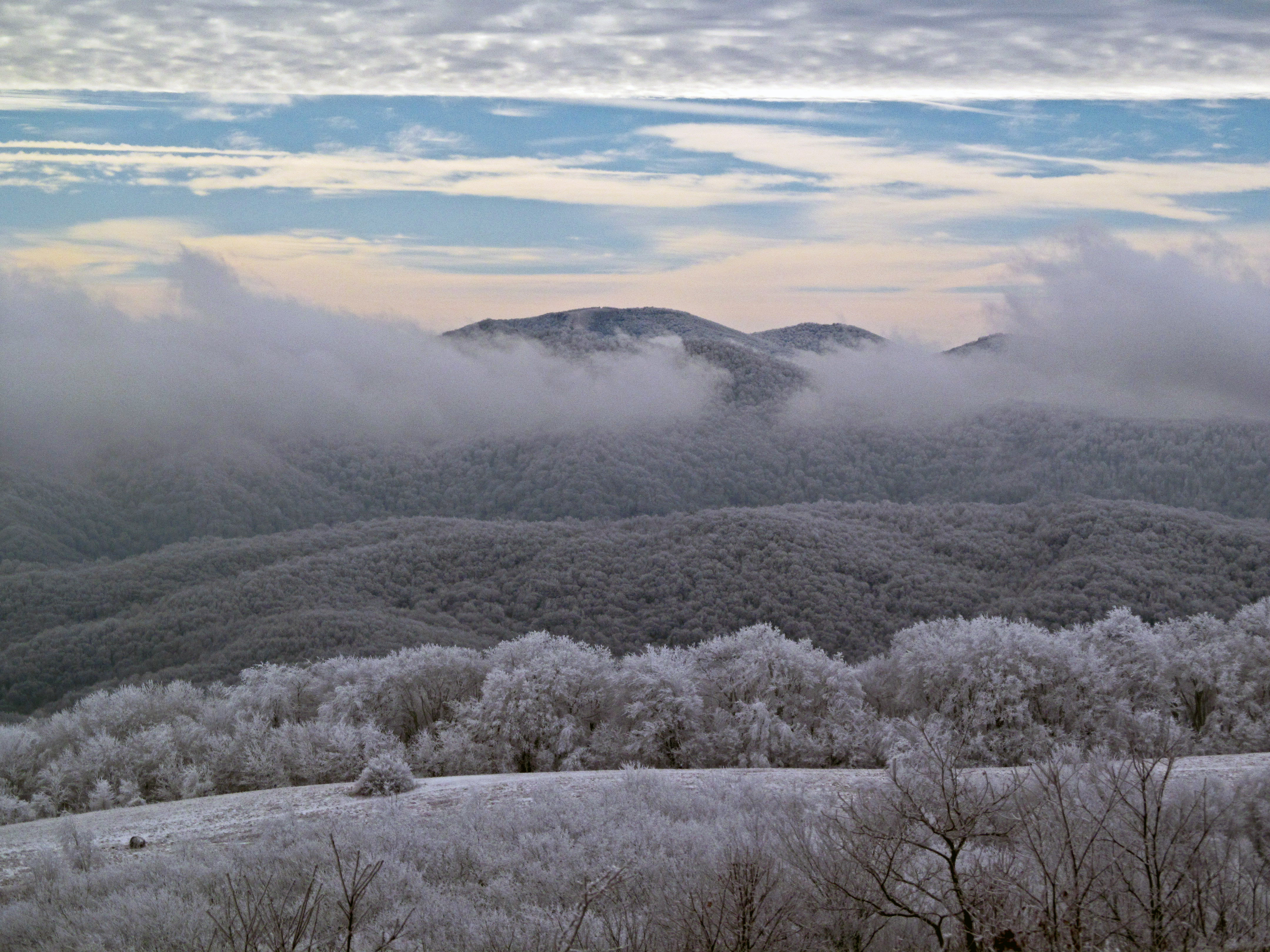
WINTER WEATHER ALERT
A major winter storm is forecast to impact most of the Appalachian Trail this weekend with ice and heavy snow. This may damage trees, block the trail and restrict travel. Hikers should be prepared for significant winter weather conditions.
More Info
DRY CONDITIONS - ELEVATED FIRE DANGER ON A.T.
Caution
Several human-caused fires have been reported on the Trail in recent days. Hikers are encouraged to use caution with open fire, camp stoves, and smoking materials.
More Info
WINTER WEATHER ALERT
Winter storm warnings are currently in effect for the entire A.T. from Georgia to Maine. Snowfall amounts of 18+ inches are predicted in some areas and deeper drifts can be expected. Many roads are closed and cellular service spotty. Be smart & stay safe!
WINTER WEATHER ALERT FOR NORTHERN GEORGIA
Caution
Snowfall this weekend may make emergency response unavailable along portions of the Appalachian Trail and other high elevation areas in Georgia. Please plan accordingly. Hikers unprepared for severe weather are encouraged to stay off the A.T.
More Info
Bear Activity High - Numerous A.T. Shelters Closed
Information
Several shelters and camp sites are currently closed along the Appalachian Trail due to bear activity. Store food properly and be bear aware! For bear safety info https://www.nps.gov/grsm/learn/nature/black-bears.htm Click "more" for trail-wide updates.
More Info
Heat Advisory
Caution
A few tips for summer hiking safety - Drink from two to four cups of water every hour while hiking. Don’t wait until you are thirsty to drink. Pace activity – start slow and pick up the pace gradually. Avoid the mid-day heat and hike early or late.
More Info
A.T. NOW OPEN IN THE GREAT SMOKY MOUNTAINS BUT US ROUTE 441 REMAINS CLOSED
Information
The A.T. through Great Smoky Mountains National Park is now open (it was closed due to fire), but US Route 441 through the park remains closed. This means A.T. hikers cannot get on the trail there or get off there for resupply. Plan accordingly.
A.T. CLOSED IN VIRGINIA FROM US 60 TO SALTLOG GAP
Park Closure
Fire activity has resulted in closure of the Appalachian Trail from US 60 north to Saltlog Gap in Virginia. For additional information, click "more".
More Info
HIGH WATER ADVISORY
Heavy rains may cause normally shallow streams to become dangerous. Please check weather reports before heading out on the Trail. If you encounter a swollen river or stream, wait until water levels drop before crossing. Click "more" for additional info.
More Info
Black Bears Frequenting the McAfee Knob Area in Virginia
Caution
Human-habituated bears have been frequently spotted in the McAfee Knob Area. Allowing bears access to human food or garbage causes it to lose its fear of humans. Follow all food storage regulations, use provided food lockers and never feed a bear.
More Info
FLOOD ADVISORY
Due to recent high water levels, the A.T. on the C&O Canal towpath will CLOSE 2/4/2016 across the Potomac River in Harpers Ferry, WV. Hikers need to bypass this section of the A.T. until towpath and Trail reopen. Check for updates on the C&O Canal website
More Info
TRAIL CLOSURE IN SHENANDOAH NATIONAL PARK DUE TO FIRE
A portion of the Appalachian Trail between Elkwallow and Beahms Gap in Shenandoah is closed until further notice due to fire. Please contact Shenandoah National Park for more information: https://www.nps.gov/shen/contacts.htm.
WEATHER WARNING
Caution
Hurricane Hermine is expected to impact the A.T. from Central Virginia to Southern New England. High winds at upper elevations, bands of rain, and localized flooding may occur. Hikers should monitor weather and check local conditions before venturing out.
WEATHER ALERT: WATCH FOR HAZARDOUS CONDITIONS
Hikers are encouraged to closely monitor the weather and prepare for or modify their plans to avoid hazardous conditions. Heavy rains are expected to cause localized flooding, especially along the southern half of the Trail.
More Info
Gypsy Moth Treatment scheduled in June for part of the A.T. in Southwest Virginia
In an effort to control the invasive insect known as the Gypsy Moth, treatment is scheduled the week of June 17th, 2013, in Southwest Virginia on part of the A.T. Read more on our News Page ->
List of trail closures post-Hurricane Helene
Park Closure
Many closures remain on the Trail following Hurricane Helene's devastation. This will remain true for the foreseeable future. Visit the Appalachian Trail Conservancy (ATC) website for an up-to-date list of closures. OBSERVE ALL CLOSURES. Stay safe!
More Info
WINTER WEATHER ALERT
Various weather warnings persist with hikers reporting prohibitive snow drifts as deep as two and a half feet in areas of the A.T. as far south as central VA. Please take safety seriously and responsibly prepare for these field conditions.
WINTER WEATHER ALERT
Hazardous winter conditions are present along much of the Appalachian Trail from winter storm Jonas. High winds, snow drifts and up to 40 inches of snowfall in some areas have made many portions of the A.T. inaccessible. For current weather visit:
More Info
A.T. CLOSED IN GEORGIA FROM NEEL GAP TO TESNATEE GAP
Park Closure
Recent fire activity on the Chattahochee National Forest in GA has resulted in closure of the Appalachian Trail from Neel Gap (mile 31.4) north to Tesnatee Gap (mile 37.4). For additional information, click "more".
More Info
PINE SWAMP BRANCH SHELTER IN VIRGINIA TEMPORARILY CLOSED
Park Closure
Due to standing dead trees caused by Gypsy Moth, Pine Swamp Branch Shelter on the A.T. in Virginia is temporarily closed. Public hazards include falling trees and limbs. Closure includes 300-foot area around the shelter.
More Info
HURRICANE SANDY ALERT
Trail users are encouraged to use extreme caution during and following Hurricane Sandy. Impacts from flooding, tree damage and high winds could be extensive. Emergency response may be delayed and cell coverage may be unavailable. Be smart and be safe!
Stomach Virus Hits Appalachian Trail near Hot Springs, NC
Cases of Norovirus have been confirmed along the A.T. from Hot Springs, NC, north to the TN-VA border, causing severe stomach issues for those infected. Take precautions when hiking in this area. For more info and a list of tips, see our News Page ->
A.T. CLOSED FROM HOT SPRINGS TO FONTANA VILLAGE THROUGH GREAT SMOKY MOUNTAINS NATIONAL PARK
Park Closure
Great Smoky Mountains National Park officials have closed the A.T. within the entire park (Hot Springs, NC, to Fontana Village, TN) along with all facilities due to extensive fire activity. For additional information, click "more".
More Info
FIRE BANS REMAIN IN EFFECT ON SECTIONS OF THE A.T. IN NORTH CAROLINA, TENNESSEE, AND VIRGINIA
Danger
Due to extremely dry conditions, fire bans remain in effect in Grayson Highlands State Park (VA) and in the Great Smoky Mountains National Park (TN/NC). Click "more" for further details
More Info
List of trail closures post-Hurricane Helene
Park Closure
Many closures remain on the Trail following Hurricane Helene's devastation. This will remain true for the foreseeable future. Visit the Appalachian Trail Conservancy (ATC) website for an up-to-date list of closures. OBSERVE ALL CLOSURES. Stay safe!
More Info
HURRICANE SANDY AFTERMATH
Hurricane Sandy impacted a large swath of the Appalachian Trail on October 29 and 30. The A.T. appears to be passable in most areas, though there are still closures and warnings in effect in NY, NJ & VA. For a full list, visit http://tinyurl.com/8e32zma.
Black Bears Frequenting the McAfee Knob Area in Virginia
Caution
Human-habituated bears have been frequently spotted in the McAfee Knob Area. Allowing bears access to human food or garbage causes it to lose its fear of humans. Follow all food storage regulations, use provided food lockers and never feed a bear.
More Info