Buck Island Reef National Monument
Designation: National Monument
Location: U.S. Virgin Islands
📘 Park Overview
Welcome to Buck Island! Before you come, please watch our 2014 Telly Award winning film "Caribbean Gem." Watching this will catch you up on 50+ years of National Park Service protection and civic engagement. Learn what we do every day to preserve this resource for Virgin Islanders and visitors alike. For the General Management Plan and Environmental Compliance, visit the News page.
🌤 Weather Information
Welcome to the tropics!
🚗 Directions
Use one of our concessionaires to get to Buck Island!
Images
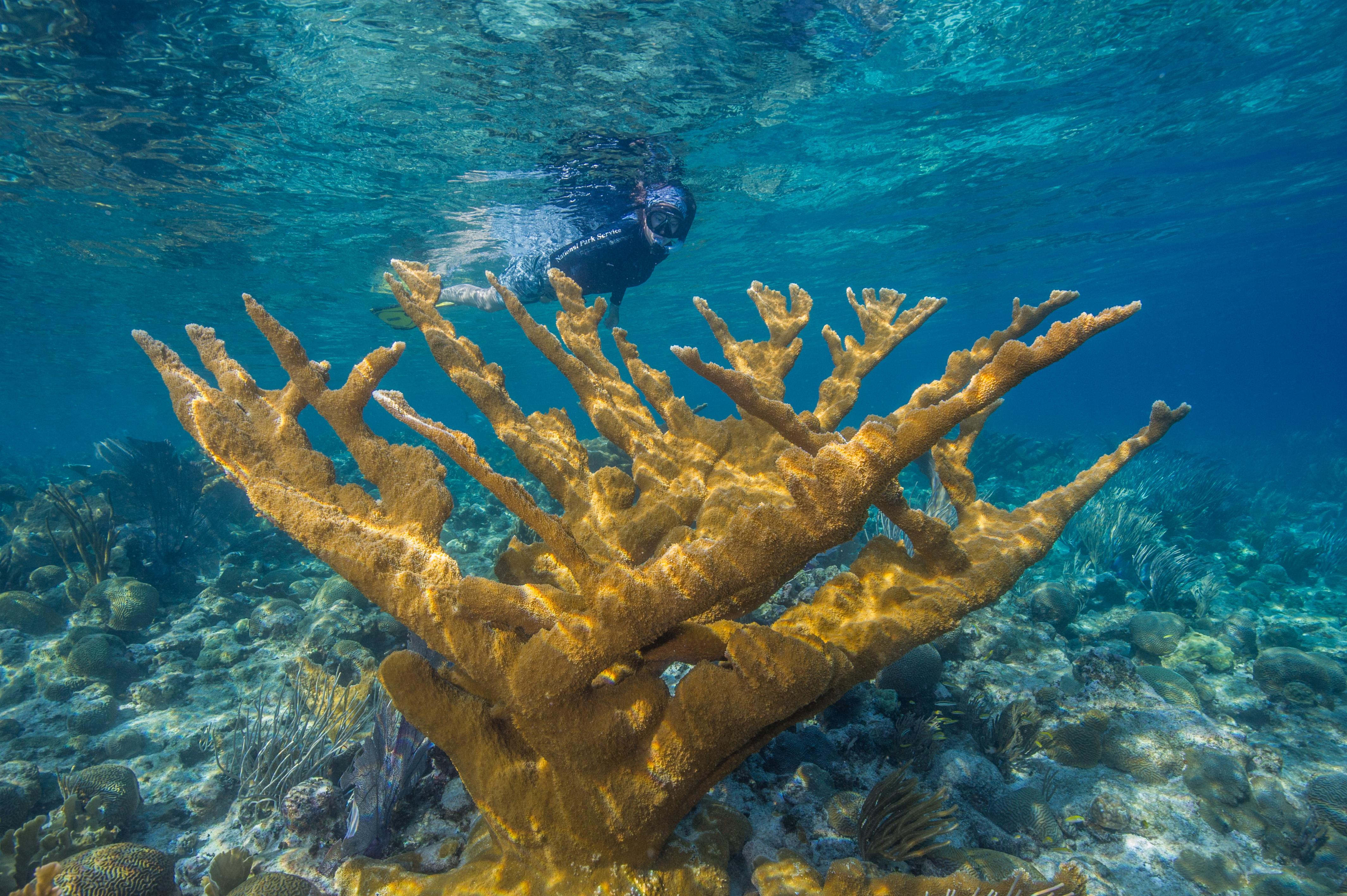
Snorkelers may view Elkhorn Coral at the Underwater Trail, Buck Island Reef NM
Credit: NPS
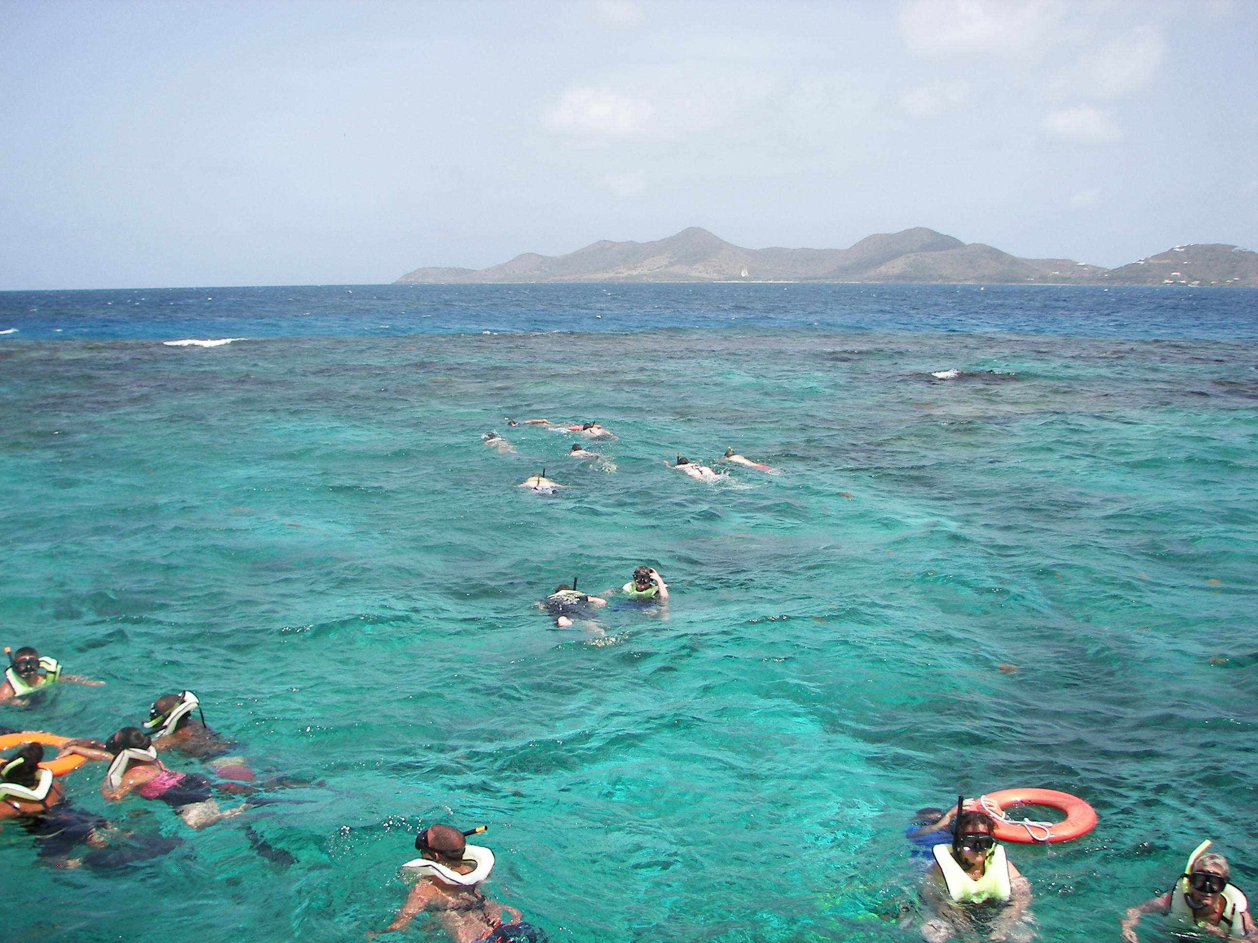
Snorkelers are lead in small groups through the underwater trail at Buck Island Reef NM.
Credit: Susan Duke
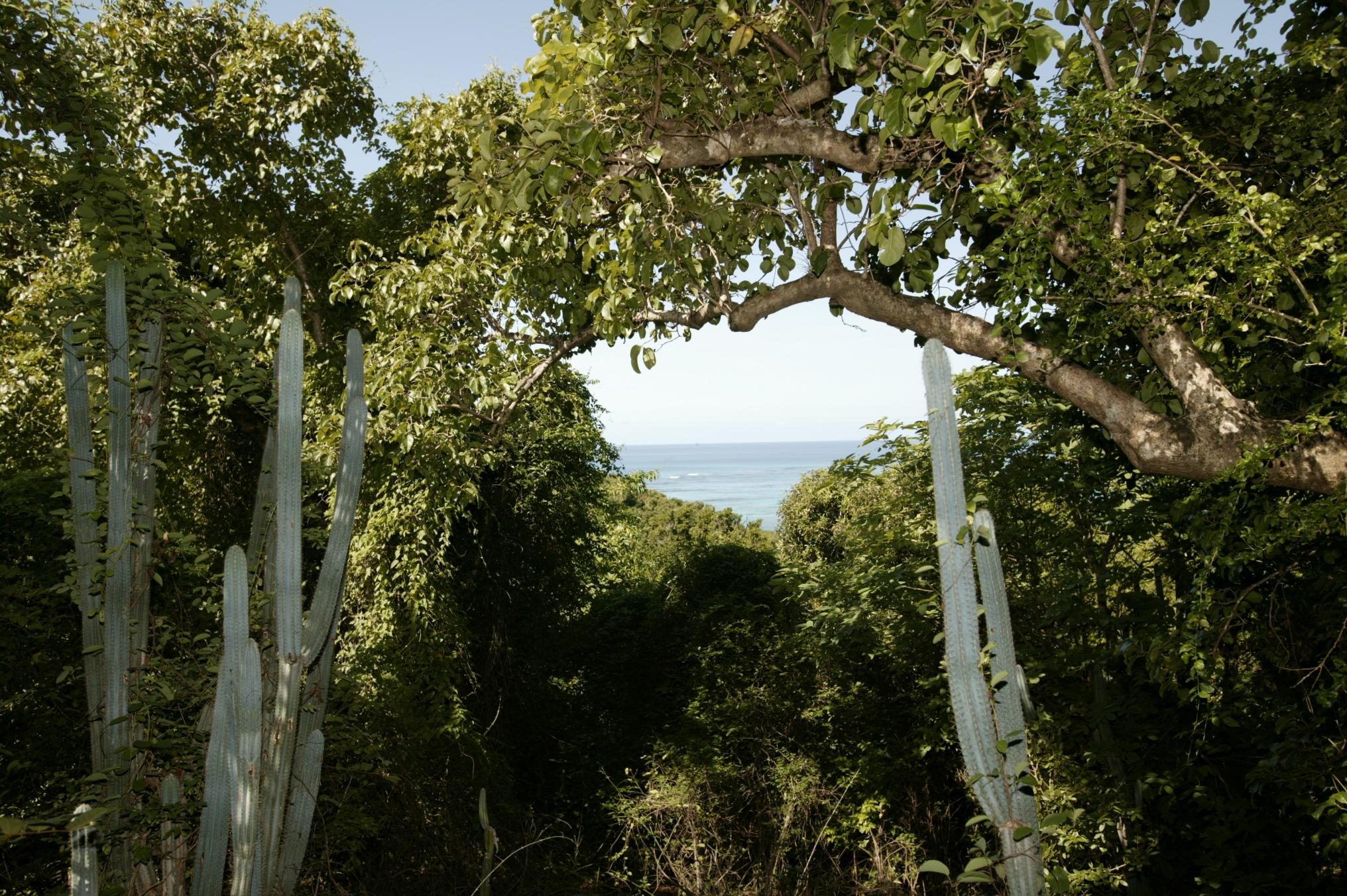
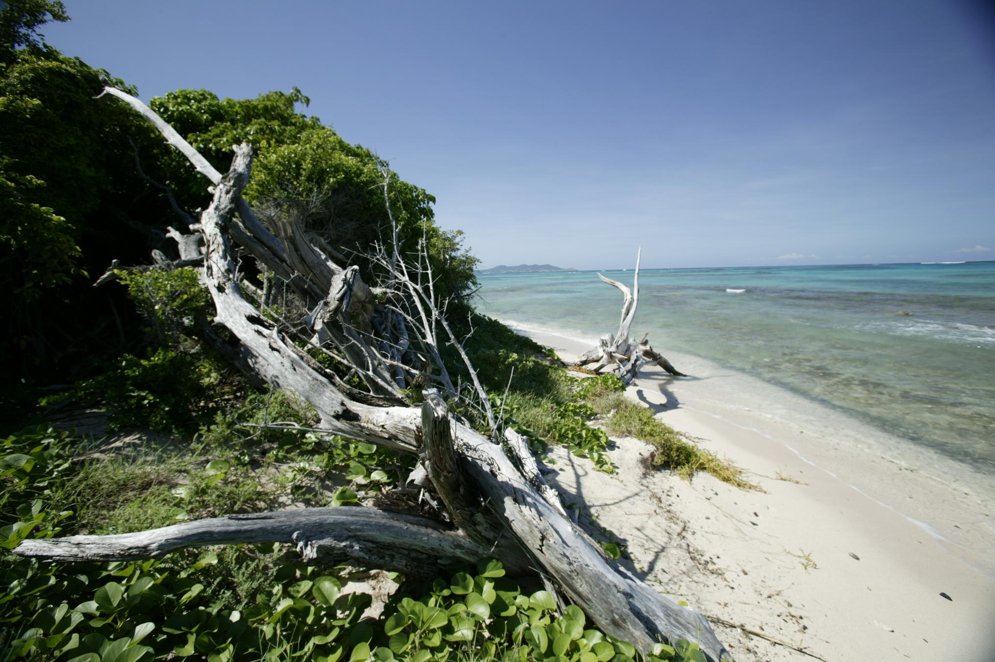
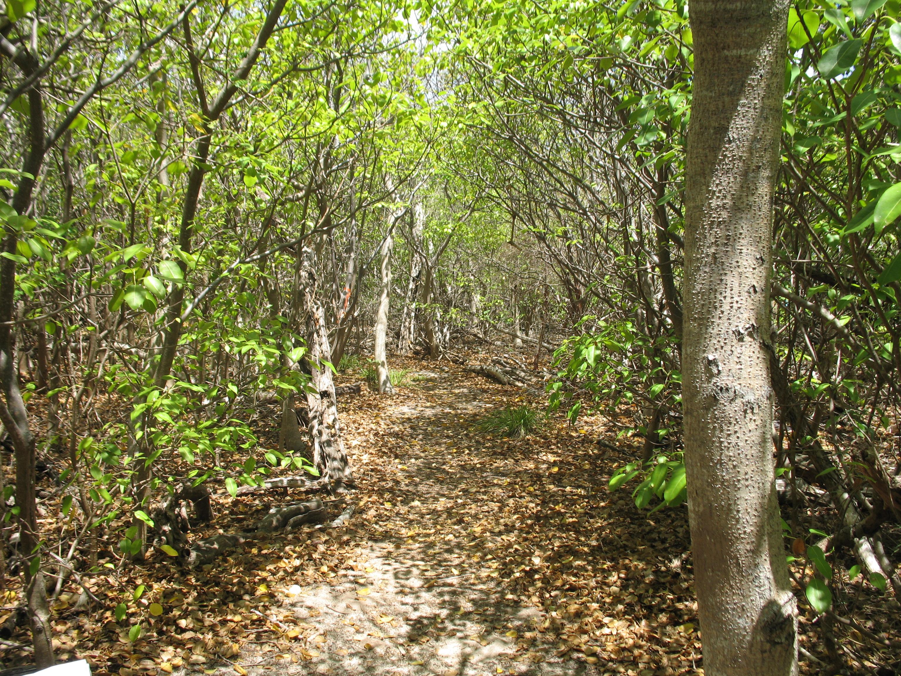
The plants that make up the subtropical dry forest on Buck Island range from old historic tamarinds to gumbo limbo, from cactus to delicate orchids.
Credit: Photo by S. Corsaut, Digital Island
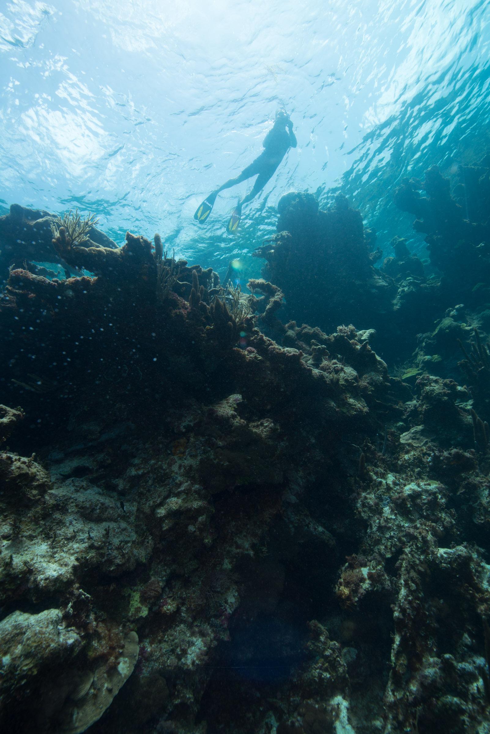
Enjoy snorkeling the reefs and see lots of tropical reef fish.
Credit: NPS Photo
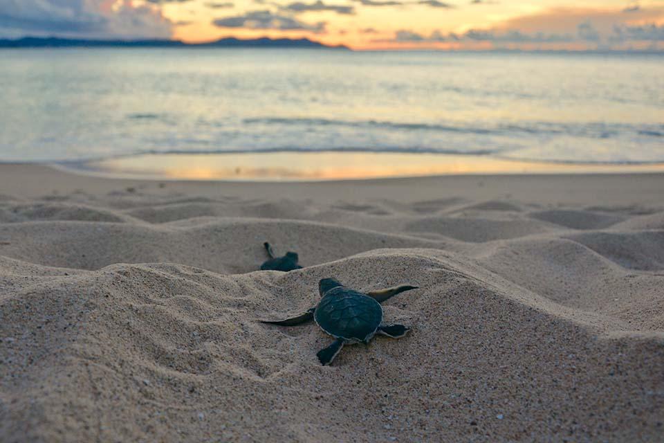
For over 30 years scientists have studied sea turtle nesting habits on Buck Island, training over 100 students in the field of biology.
Credit: NPS
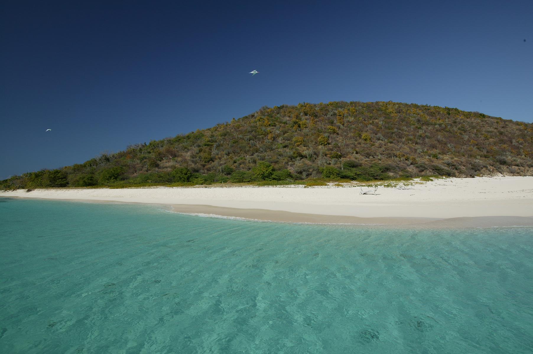
Buck Island is a magical place! Come snorkel the waters and hike the trails.
Credit: Cori Lopazanski
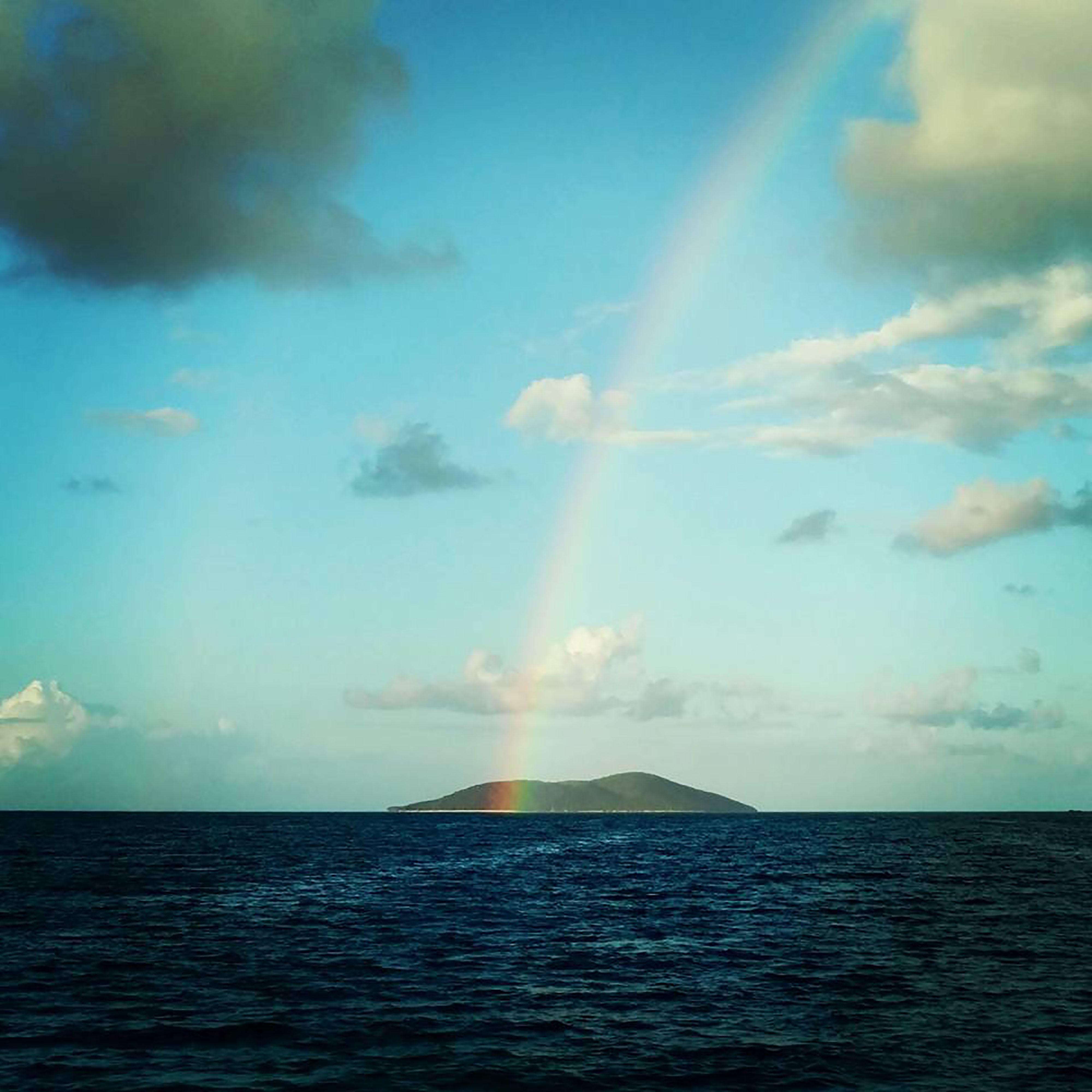
Come see the unspoiled beauty of Buck Island
Credit: S. Corsaut, Digital Island
From the highest ridge to the water and reefs below, Buck Island offers adventure and learning.
Credit: S. Corsaut, Digital Island
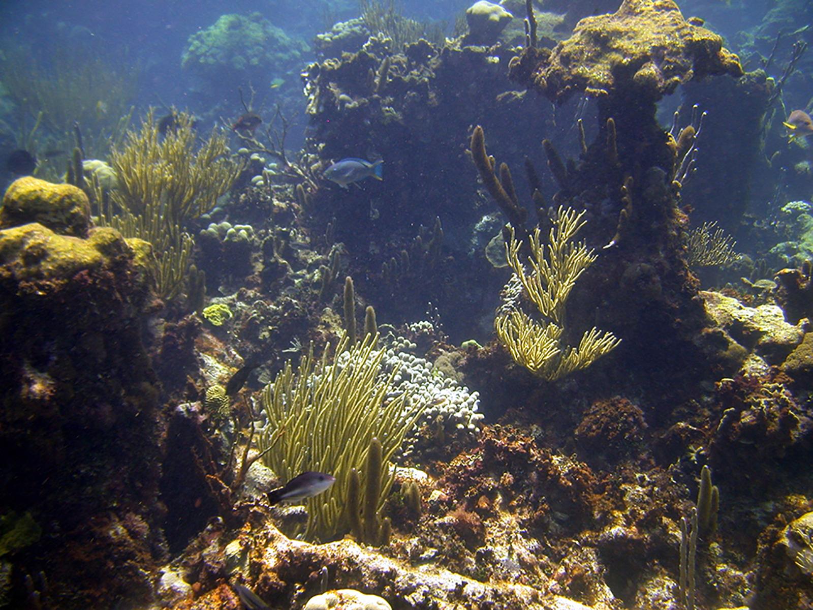
Our underwater trail will take you through beautiful gardens of coral.
Credit: NPS
Take our hiking trail through beach forests up to the observation deck at 300 feet above sea leve.
Credit: NPS
Activities
Topics
Operating Hours
Entrance Fees
No entrance fees listed.
Entrance Passes
No entrance passes listed.
3-Day Weather Forecast
Wednesday, Jun 10

Patchy rain nearby
High: 84.9°F | Low: 77.4°F
Humidity: 73%
Wind: 13.6 mph
Rain Chance: 36%
UV Index: 11.9
Sunrise: 05:42 AM
Sunset: 06:53 PM
Moon: Waning Crescent (15%)
Visibility: 6 mi
Dew Point: 75.4°F
Cloud Cover: 36%
Pressure: N/A mb
Air Quality (PM2.5): N/A
Ozone: N/A
EPA Index: N/A
Thursday, Jun 11
Patchy rain nearby
High: 84.6°F | Low: 78.6°F
Humidity: 76%
Wind: 15.4 mph
Rain Chance: 65%
UV Index: 10.7
Sunrise: 05:42 AM
Sunset: 06:53 PM
Moon: Waning Crescent (8%)
Visibility: 6 mi
Dew Point: 76.5°F
Cloud Cover: 65%
Pressure: N/A mb
Air Quality (PM2.5): N/A
Ozone: N/A
EPA Index: N/A
Friday, Jun 12
Patchy rain nearby
High: 84.9°F | Low: 79.2°F
Humidity: 73%
Wind: 17.7 mph
Rain Chance: 40%
UV Index: 11.3
Sunrise: 05:43 AM
Sunset: 06:53 PM
Moon: New Moon (3%)
Visibility: 6 mi
Dew Point: 76.4°F
Cloud Cover: 40%
Pressure: N/A mb
Air Quality (PM2.5): N/A
Ozone: N/A
EPA Index: N/A
Park Alerts
Visitor Center & Contacts
📍 Physical Address:
2100 Church St. #100
Christiansted, St. Croix, VI 00820
🏤 Mailing Address:
2100 Church St. #100
Christiansted, St. Croix, VI 00820
📞 Voice Phone: (340) 773.1460
📞 Fax Phone: (340) 719.1791
✉️ Email: CHRI_Education@nps.gov