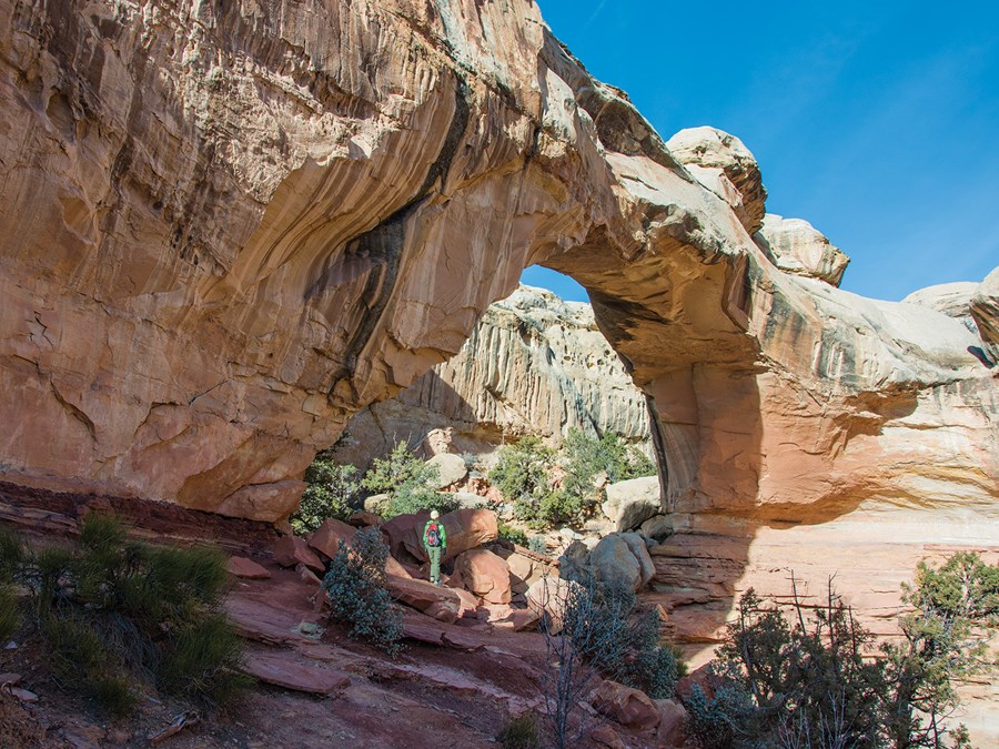
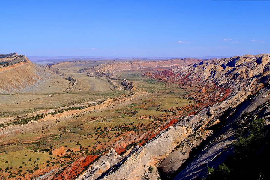
Located in south-central Utah in the heart of red rock country, Capitol Reef National Park is a hidden treasure filled with cliffs, canyons, domes, and bridges in the Waterpocket Fold, a geologic monocline (a wrinkle on the earth) extending almost 100 miles.
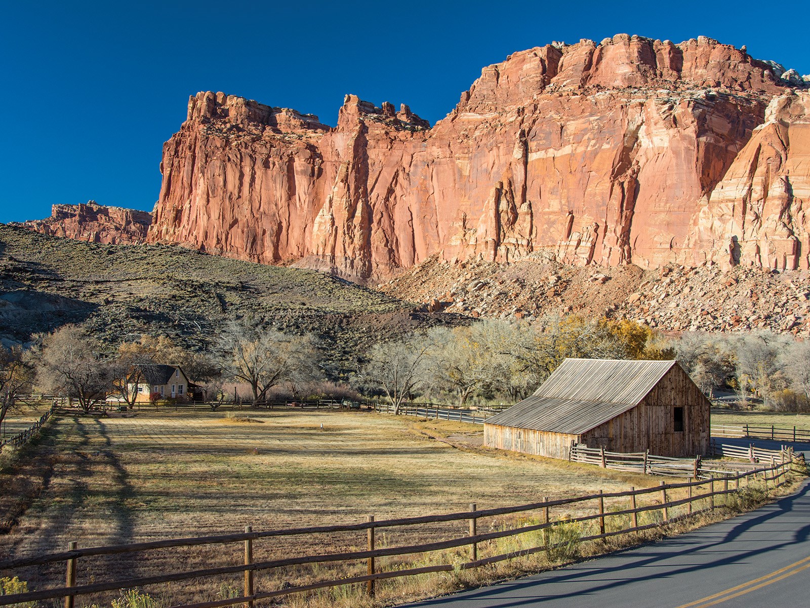 Photo: NPS Photo
Capitol Reef National Park
- LocationTorrey, UT
- Entrance $20 private vehicle
- HoursOpen 24 hours, daily
-
 Weather now69°F Sunny
- Alerts 2 active alerts
Overview
Topics
- Ancient Seas
- Animals
- Archeology
- Arches
- Arts
- Astronomy
- Birds
- Canyons and Canyonlands
52 more topics
- Cats (wild)
- Churches
- Climate Change
- Colonization and Settlement
- Commerce
- Coniferous Forests
- Deciduous Forests
- Dinosaur
- Dunes
- Elk
- Endangered
- Explorers and Expeditions
- Farming and Agriculture
- Fish
- Foothills, Plains and Valleys
- Forests and Woodlands
- Fossils and Paleontology
- Geology
- Glaciers
- Grasslands
- Homesteading
- Industry
- Military
- Mineral Deposits
- Mining
- Native American Heritage
- Night Sky
- Painting
- Petrified Wood
- Photography
- Plateaus and Mesas
- Ranches
- Rare
- Religion and Spirituality
- River and Riparian
- Roads, Routes and Highways
- Rock Landscapes and Features
- Ruins
- Scenic Views
- Schools and Education
- Science, Technology and Innovation
- Social Movements
- Thickets and Shrublands
- Trade
- Trails
- Transportation
- Unique Species
- Volcanoes
- Voting Rights and Suffrage
- Waterfalls
- Westward Expansion
- Women's History
Alerts (2)
CautionElevated E. Coli levels - Fremont River and Sulphur Creek Recent water quality testing shows elevated E. coli levels in the Fremont River and Sulphur Creek. A warning advisory ha… Read more
Recent water quality testing shows elevated E. coli levels in the Fremont River and Sulphur Creek. A warning advisory has been issued by the Utah DEQ. Use caution if entering the water. Do not get water in your mouth, do not swim. Wash hands with soap and water.
CautionMonsoon Season & Flash Floods Heavy rains can cause sudden flooding, especially in canyons and washes. Do not drive or hike through flood waters. Get… Read more
Heavy rains can cause sudden flooding, especially in canyons and washes. Do not drive or hike through flood waters. Get to high ground and wait for floods to subside. Some roads may close temporarily; closures are posted at the visitor center.
Things to Do
42 activities. Pick one to find other parks that offer it.
- Hiking
- Camping
- Wildlife Watching
- Stargazing
- Astronomy
- Fishing
- Biking
- Guided Tours
- Birdwatching
- Horse Trekking
- Climbing
- Junior Ranger Program
Show 30 more activities
- Museum Exhibits
- Picnicking
- Arts and Crafts
- Arts and Culture
- Backcountry Camping
- Backcountry Hiking
- Bookstore and Park Store
- Canyoneering
- Car or Front Country Camping
- Citizen Science
- Cultural Demonstrations
- First Person Interpretation
- Food
- Front-Country Hiking
- Gift Shop and Souvenirs
- Group Camping
- Hands-On
- Horse Camping (see also camping)
- Horse Camping (see also Horse/Stock Use)
- Horseback Riding
- Living History
- Off-Trail Permitted Hiking
- Park Film
- Road Biking
- Rock Climbing
- RV Camping
- Self-Guided Tours - Auto
- Self-Guided Tours - Walking
- Shopping
- Volunteer Vacation
Camping
4 campgrounds listed on Recreation.gov. Check availability and current conditions before you go.
-
Capitol Reef Group Campground
Reservable Campground
Located in south-central Utah in the heart of red rock country, Capitol Reef National Park is a hidden treasure filled with cliffs, canyons, domes and bridges in the…
Reserve on Recreation.gov- Hiking
- Day Use Area
- Historic & Cultural Site
- Interpretive Programs
Details
Fees: Capitol Reef charges an entrance fee separate from camping fees. You may pay the fee upon arrival at the entrance station or purchase in advance. The park also honors Federal interagency passes (e.g., annual, senior, access, 4th grade…
Overview
Located in south-central Utah in the heart of red rock country, Capitol Reef National Park is a hidden treasure filled with cliffs, canyons, domes and bridges in the Waterpocket Fold, a geologic monocline (a wrinkle on the earth) extending almost 100 miles (160 km).
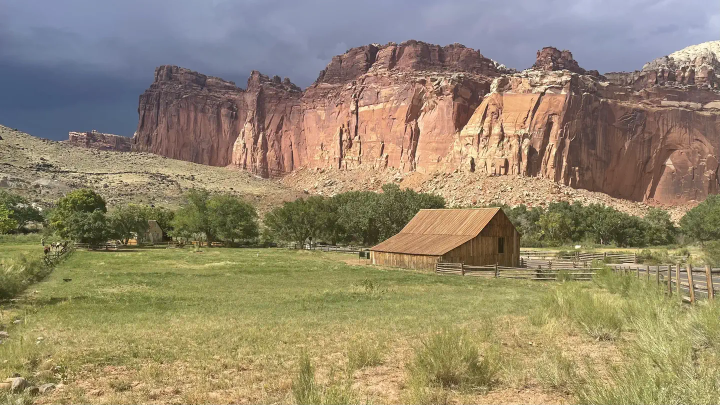
The Fruita Campground area is located one mile south of the visitor center and is often described as an oasis within the desert. The Group Campsite is near Loop C of the Fruita Campground. It is a semi-shaded, grassy campsite and is located in the Fruita Historic District of the park.Recreation
Walk to historic inscriptions on the Capitol Gorge Trail and stroll the Goosenecks Trail. Visitors looking for longer trails can visit our Trail Guide and perhaps explore Cohab Canyon, Chimney Rock, and Cassidy Arch.
Enjoy the geology and view the Fremont Culture Petroglyphs along Hwy 24. In addition, the Scenic Drive will introduce you to the fascinating cultural and geological history of Capitol Reef National Park. The drive includes a portion of the original road through the Waterpocket Fold. The road passes through parts of the Fruita Historic District and follows the western faces of the Waterpocket Fold, and spur roads allow exploration into beautiful Grand Wash and Capitol Gorge.
Check at the Visitor Center for a current schedule of interpretive programs, which may include geology talks, Fremont culture talks, evening programs, star gazing, moonwalks, and geology hikes. Stop in at Ripple Rock Nature Center to experience interactive exhibits, games, activities, and free educational programs.
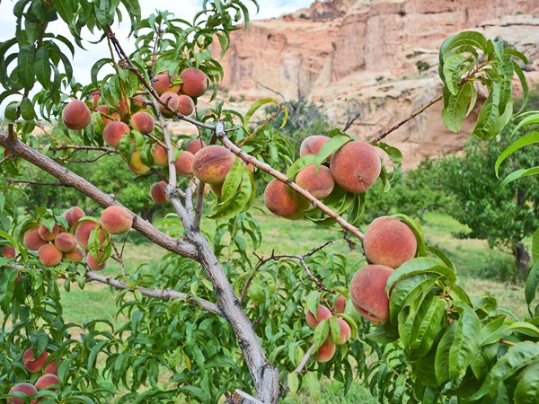
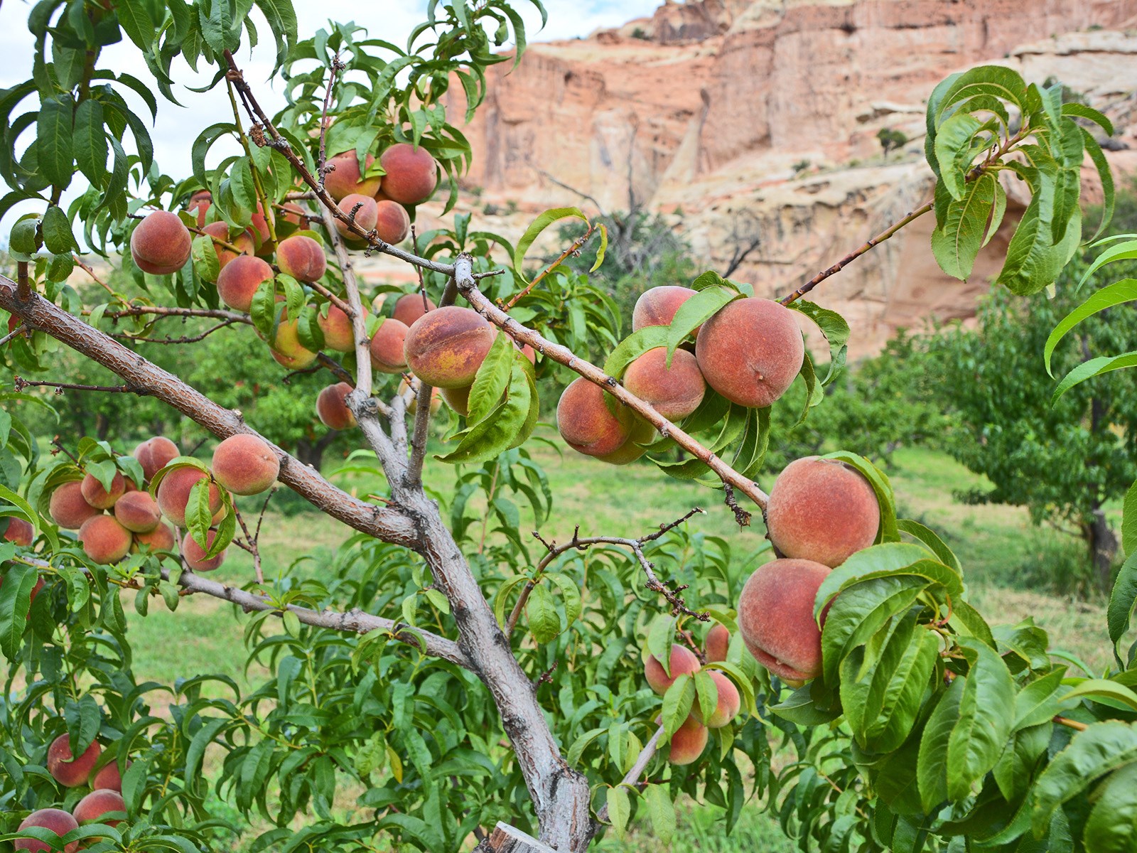
Wander through the historic Fruita Orchards and pick fresh fruit when in season. The orchards contain approximately 3,100 trees including cherry, apricot, peach, pear, apple, plum, mulberry, almond, and walnut.
Discover Mormon pioneer history at the historic Gifford Homestead store and museum.Facilities
Sheltered picnic areas are provided at the group campsite and there is a large grassy area for tents and activities. Campers will enjoy the fire pit for relaxing evenings around the campfire and the above-ground grill for cooking. Amenities also include restrooms with flush toilets, a utility sink, drinking fountain and potable water faucets centrally located. There is no electricity available.Natural Features
At Fruita Group site, large deciduous trees provide a shaded setting among beautiful and striking red rock cliffs. The group site sits adjacent to the Fremont River at approximately 5,500 feet (1676 m) elevation and is surrounded by unique historic orchards.
Nearby, the Waterpocket Fold defines Capitol Reef National Park. The varied topography, geology, elevations, and precipitation patterns along the fold have resulted in a diversity of microhabitats and niches for plant species to inhabit. Seventeen geologic formations are exposed within the Waterpocket Fold, each with unique combinations of minerals, soil types, aspect and slope.Contact Info
For facility specific information, please call (435) 425-3791.Nearby Attractions
The group site is a short walk from the main campground, amphitheater, picnic areas, hiking trails, the historic Gifford house and orchards. -
Fruita Campground
Reservable Campground
Located in south-central Utah in the heart of red rock country, Capitol Reef National Park is a hidden treasure filled with cliffs, canyons, domes and bridges in the…
Reserve on Recreation.gov- Hiking
- Climbing
- Historic & Cultural Site
- Interpretive Programs
Details
Fees: Capitol Reef charges an entrance fee separate from camping fees. You may pay the fee upon arrival at the entrance station or purchase in advance. The park also honors Federal interagency passes (e.g., annual, senior, access, 4th grade…
Overview
Located in south-central Utah in the heart of red rock country, Capitol Reef National Park is a hidden treasure filled with cliffs, canyons, domes and bridges in the Waterpocket Fold, a geologic monocline (a wrinkle on the earth) extending almost 100 miles (160 km). The Fruita Campground has 71 sites. 65 sites are reservable year round- there are no longer first come, first serve sites any time of year. Sites 1, 2, 3, 6, 7 and 8 are used as administrative sites. Sites 14, 24, and 63 are accessible sites with electrical hookups. From March 1 through Thanksgiving weekend, generators are only permitted in Loop C during generator hours.
Recreation
Walk to historic inscriptions on the Capitol Gorge Trail and stroll the Goosenecks Trail or longer trails such as Cohab Canyon, Chimney Rock, and Cassidy Arch. Check out our Trail Guide to explore your options. Enjoy the geology and view the Fremont Culture Petroglyphs along Hwy 24. In addition, the Scenic Drive will introduce you to the fascinating cultural and geological history of Capitol Reef National Park. The drive includes a portion of the original road through the Waterpocket Fold. The road passes through parts of the Fruita Historic District and follows the western faces of the Waterpocket Fold, and spur roads allow exploration into beautiful Grand Wash and Capitol Gorge.
Check at the Visitor Center for a current schedule of interpretive programs, which may include geology talks, Fremont culture talks, evening programs, star gazing, moonwalks, and geology hikes.
Wander through the historic Fruita Orchards and pick fresh fruit when in season. The orchards contain approximately 3,100 trees including cherry, apricot, peach, pear, apple, plum, mulberry, almond, and walnut.
Discover Mormon pioneer history at the historic Gifford Homestead store and museum.
Facilities
The Fruita Campground has 71 sites. 65 sites are reservable year round. Sites 1, 2, 3, 6, 7 and 8 are used as administrative sites. Each site has a picnic table and fire ring (except sites 7, 48 and 50, which only have an above ground grill). There is a RV dump and potable water fill station near the entrance to Loops A and B. Restrooms have running water and flush toilets, but no showers.
Accessible campsites are located adjacent to restrooms.
Campsites have no individual water or sewage hookups. There are no electrical hookups (except accessible sites 14, 24, and 63). Electrical hookups at these sites are for required medical devices only.
There are no first-come, first-served sites during reservation season. A Fruita Campground map (PDF) is available on the park website.
Natural Features
The Fruita Campground area is located one mile south of the visitor center and is often described as an oasis within the desert. Fruita Campground is a semi-shaded, grassy campground and is located in the Fruita Historic District of the park.Contact Info
For facility specific information, please call (435) 425-3791.Nearby Attractions
The Fruita campground is adjacent to the Fremont River and is a short walk from the group site, amphitheater, picnic areas, hiking trails, the historic Gifford house and orchards. -
Primitive campsites at Cathedral Campground
Not reservable on Recreation.gov Campground
It is located approximately halfway on the Cathedral Valley Loop Road. About 36 miles (57.9 km) from the visitor center, this primitive, no-fee campground has 6 sites…
Details
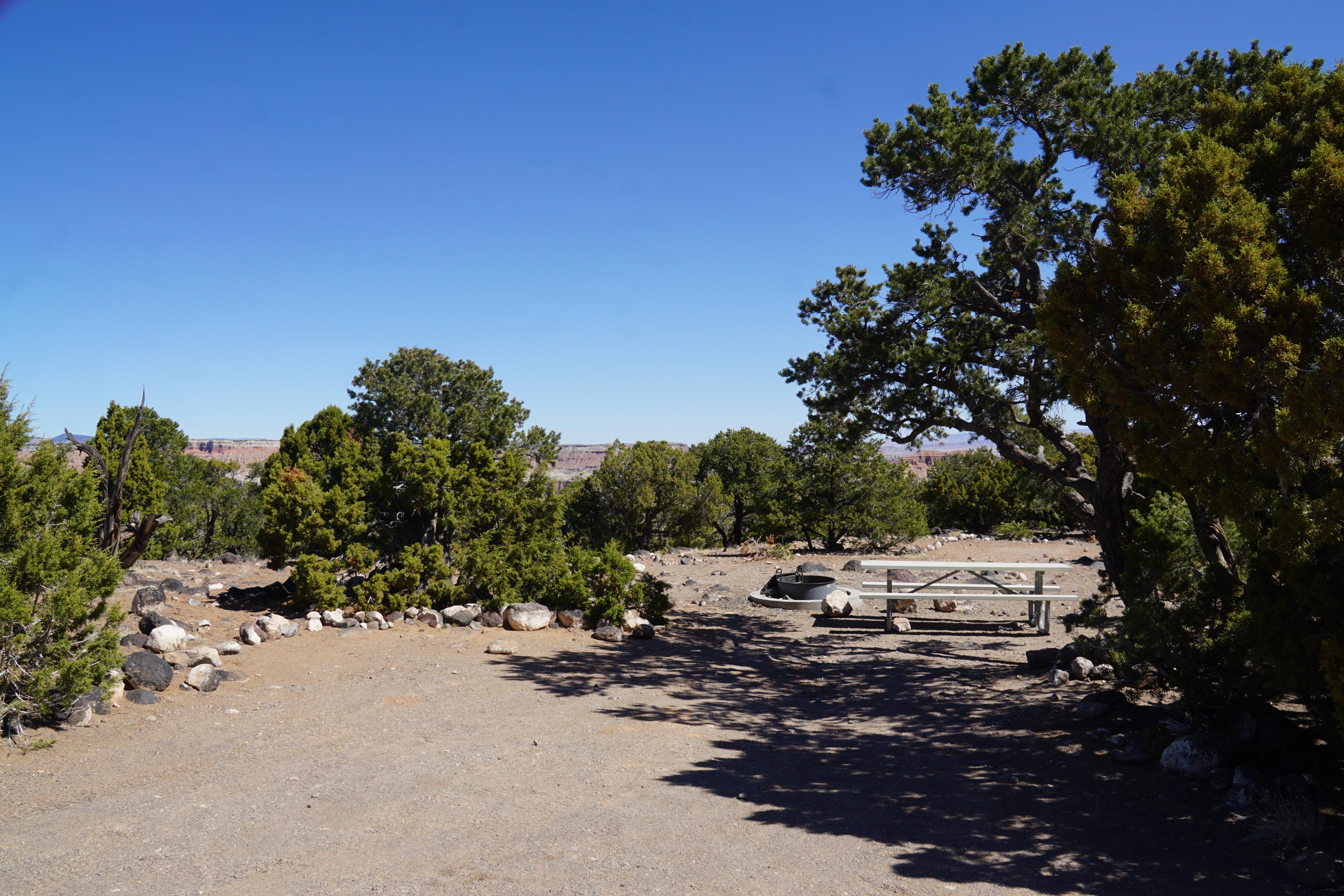
It is located approximately halfway on the Cathedral Valley Loop Road. About 36 miles (57.9 km) from the visitor center, this primitive, no-fee campground has 6 sites, each with a picnic table and fire grate. There is a pit toilet, but no water available. The campground is open year-round; however, visitors should check road conditions with the Capitol Reef Visitor Center prior to planning an overnight stay. The campground is at ~7,000 feet (2,133 m) in elevation, No reservations; first-come, first-served. -
Primitive campsites at Cedar Mesa Campground
Not reservable on Recreation.gov Campground
It is located approximately 23 miles (37.0 km) south of Utah State Highway 24 on the Notom-Bullfrog Road and is at 5,500 feet (1,676 m) in elevation. This primitive…
Details
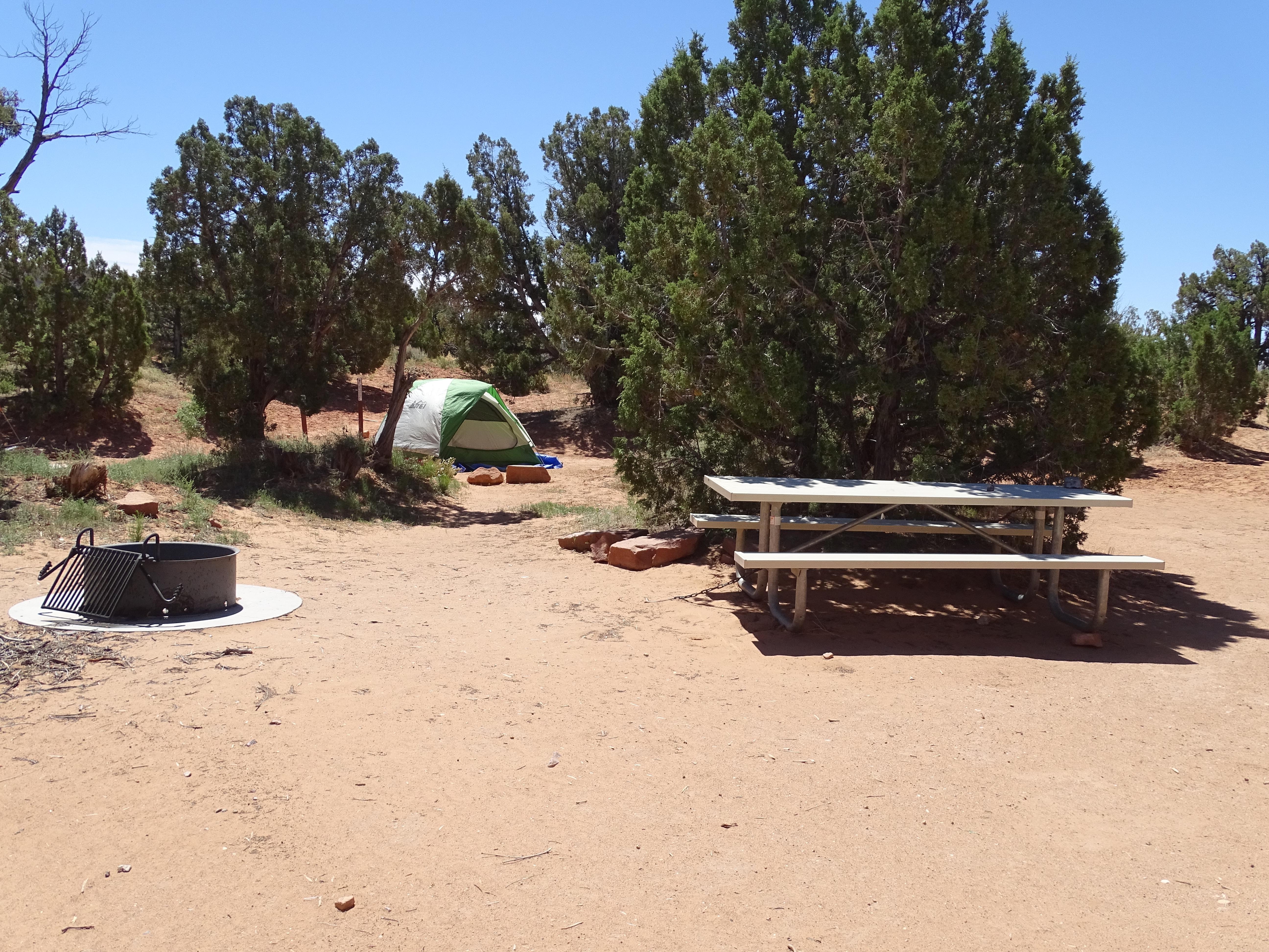
It is located approximately 23 miles (37.0 km) south of Utah State Highway 24 on the Notom-Bullfrog Road and is at 5,500 feet (1,676 m) in elevation. This primitive, no-fee campground has five sites, each with a picnic table and fire grate. There is also a pit toilet, but no water is available. The campground is open year-round, but visitors should check with the Capitol Reef Visitor Center for road conditions prior to planning an overnight stay. No reservations; first-come, first-served.
Facilities & Services
Find visitor services available in the park. Check current hours and availability before you go.
Other Visitor Services
-
Backcountry Camping
Facility
A free backcountry permit, available at the visitor center, is required for camping outside of campgrounds. Capitol Reef offers many hiking options for serious…
Torrey, UT
Details
A free backcountry permit, available at the visitor center, is required for camping outside of campgrounds. Capitol Reef offers many hiking options for serious backpackers and those who enjoy exploring remote areas. For more information on possible backpacking routes, route descriptions and maps are available on our hiking and backpacking page. -
Capitol Reef National Park Visitor Center
Facility
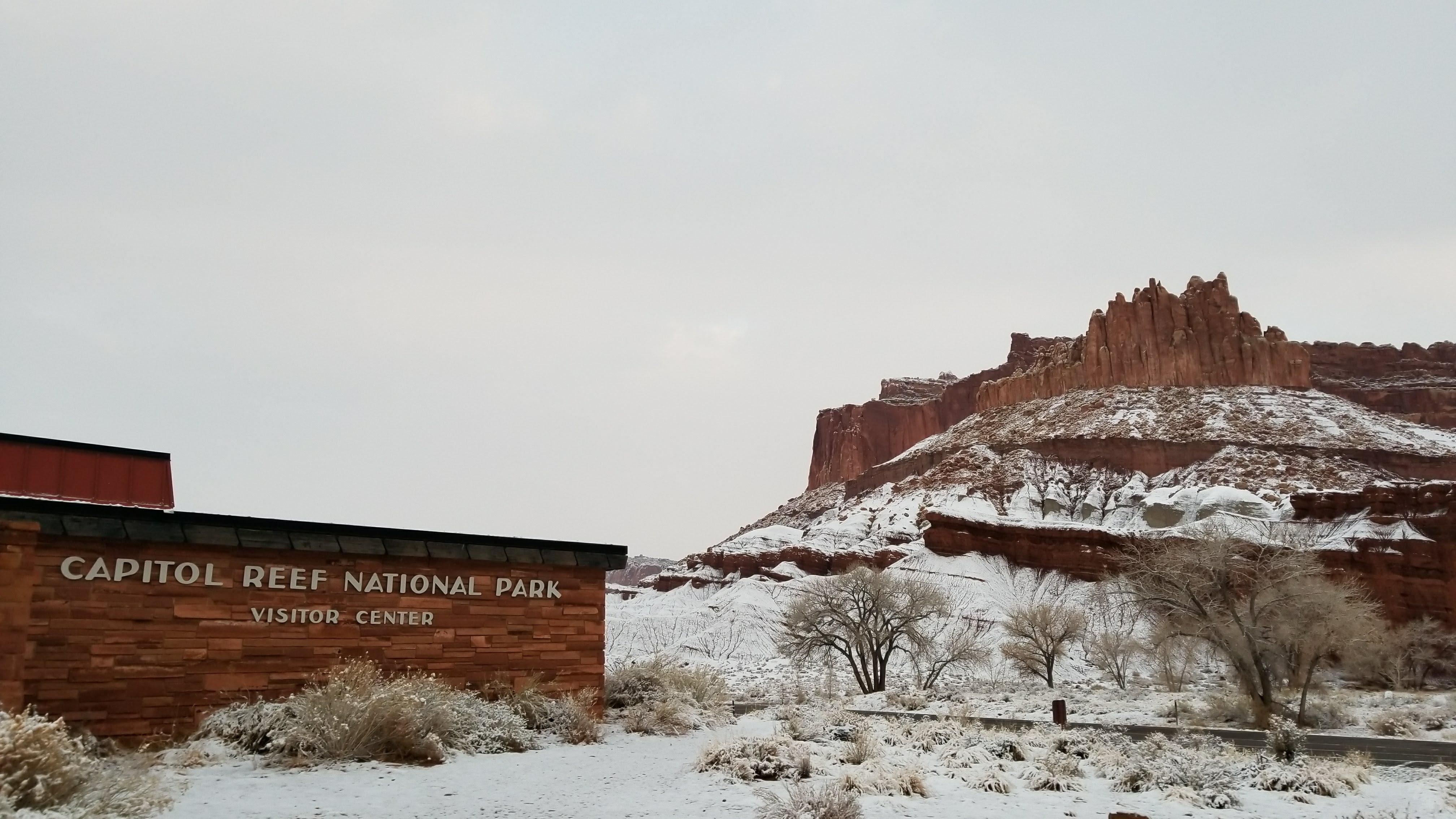
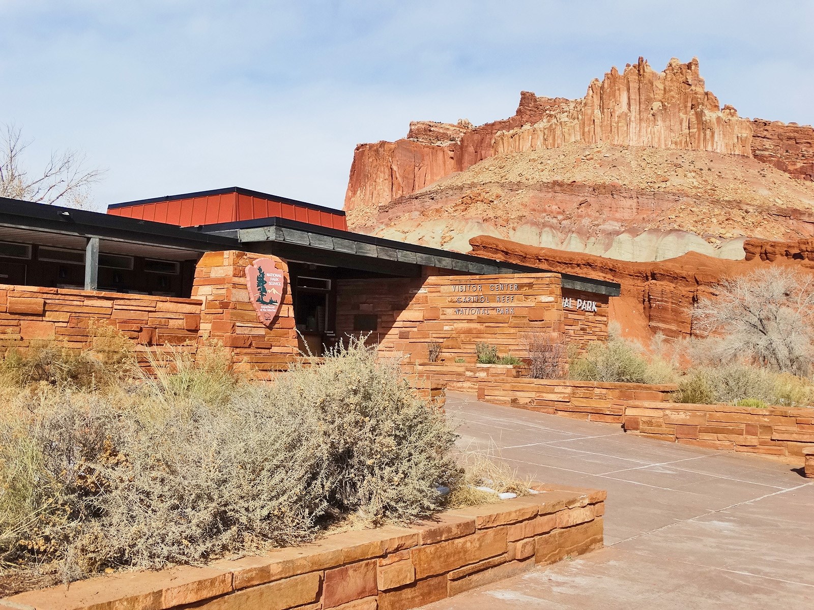
Capitol Reef National Park visitor center sits at the intersection of UT-24 and the Scenic Drive.
52 West Headquarters Drive, Torrey, UT (435) 425-3791 Directions
Details
Capitol Reef National Park visitor center sits at the intersection of UT-24 and the Scenic Drive.
Plan Your Visit
Hours
Open 24 hours, daily · Capitol Reef National Park
Hours details
-
Capitol Reef National ParkOpen 24 hours, daily
Capitol Reef is a 24 hour park, open all day, every day. The visitor center is open daily, except for some major holidays. Visitor center hours vary, call 435-425-3791 and follow the prompts for current visitor center information.
Entrance fees
- $20Private Vehicle
- $15Motorcycle
- $10Per Person
All 7 fees & details
-
Private Vehicle$20
An entrance fee is charged per vehicle.
-
Motorcycle$15
Valid for 7 days. Admits up to 2 private, non-commercial motorcycles with up to 4 total passengers.
-
Per Person$10
Admits one individual with no car. Typically used for bicyclists and pedestrians.
-
Commercial Entrance - Per Person$10
Commercial Road-Based Tours are required to obtain a Commercial Use Authorization before visiting Capitol Reef. When visiting the park, the tour must then pay the separate entrance fee at the visitor center (or through pay.gov). Tours with vehicle capacity of 15 or less should apply for a CUA in the "Guided Interpretive Tours" category. Tours of this size fall under the Guided Activities entry fee structure.
-
Commercial Entrance - Mini-bus$100
Commercial Road-Based Tours are required to obtain a Commercial Use Authorization before visiting Capitol Reef National Park. When visiting the park, the tour must then pay the separate entrance fee at the visitor center (or through pay.gov). Vehicle capacity of 16 seats or greater: $100.00 entrance fee
-
Commercial Entrance - Motor Coach$100
Commercial Road-Based Tours are required to obtain a Commercial Use Authorization before visiting Capitol Reef National Park. When visiting the park, the tour must then pay the separate entrance fee at the visitor center (or through pay.gov). Vehicle capacity of 16 seats or greater: $100.00 entrance fee
-
Commercial Entrance - Per Person$10
Guided Activities include all types of guided services, such as bike and motorcycle tours, hiking guides, photography classes, hiking shuttles, and road-based commercial tours with vehicles <16 capacity. Guided activity groups are charged the per person fee of $10.00 per client, excluding the trip leader or guide. If a client has an America the Beautiful Resident pass (annual, senior, access, etc.) it covers 4 people in the group. (Non-resident annual passes cover only the pass owner.)
Passes
- $35Annual Entrance - Park
Pass details
- Annual Entrance - Park
Admits one private, non-commercial vehicle or motorcycle and all its occupants or riders.
Weather
69°F
Sunny · feels like 63°
-
Today
72° 56°
Sunny1% rain
-
Tomorrow
76° 57°
Sunny1% rain
-
Saturday
74° 58°
Sunny3% rain
Updated 3 hr ago
What to expect by season
Weather is posted daily; check at the park visitor center for weather updates. Do not enter into narrow canyons if there is a threat of rain or if rain has been falling in the area. Rain and snow may also make dirt roads impassable to vehicles.
Contact the park
Upcoming Events
7 coming up-
Archeology Talk
About
Learn about cultures that call this place home. Meet at the Petroglyph Panel boardwalk.
Ranger program schedules are also posted on bulletin boards at the visitor center and campground.
Program topics may change. Programs may be cancelled due to weather or emergencies. Check at visitor center for updated daily program offerings.
-
Ranger's Choice Talk
About
Learn more about the natural and cultural resources of Capitol Reef. Meet at the Campground Amphitheater, adjacent to Loop C.
Location is sunny -- bring a chair if you prefer to sit in the shade.
Ranger program schedules are also posted on bulletin boards at the visitor center and campground.
Program topics may change. Programs may be cancelled due to weather or staffing issues. Check at visitor center for updated daily program offerings.
-
Star Talk
About
Learn about the night sky and view constellations above Capitol Reef. Meet at the Gifford House lawn, approximately one mile down the Scenic Drive.
Bring a flashlight or headlamp (a red light if you have one) -- the park is very dark at night! Dress warmly. Seating is limited, consider bringing a camp chair if you have one. Extra parking available across the street.
Program may be cancelled due to weather or emergencies.
-
Guided Walk
About
Meet outside the Gifford House for an easy to moderate one-hour walk with a ranger.
Bring water; wear good shoes and sun protection. Parking available across the street in the dirt lot.
Programs may be cancelled due to weather or emergencies. Check at the Visitor Center for updated program listings.
Show 3 more events
-
Telescope Viewing
About
Meet at the Gifford House.
Learn about the night sky and view celestial wonders above Capitol Reef. Dress warmly and bring a headlamp or flashlight (a red light if you have one) -- the park is dark at night!
Extra parking available across the street and at picnic area.
Programs may be cancelled due to weather or emergencies. Check at visitor center for updated daily program offerings.
-
Highway 24 Litter Cleanup
Event page for Highway 24 Litter Cleanup (opens in a new tab)About
Join park staff, volunteers, friends, and neighbors for a community litter cleanup along Utah Highway 24.
Meet at the Capitol Reef visitor center patio benches at 9am on Saturday, October 3. Trash grabbers, trash bags, gloves and high visibility vests will all be provided.
-
Telescope Viewing
About
Meet at the Gifford House.
Learn about the night sky and view celestial wonders above Capitol Reef. Dress warmly and bring a headlamp or flashlight (a red light if you have one) -- the park is dark at night!
Extra parking available across the street and at picnic area.
Programs may be cancelled due to weather or emergencies. Check at visitor center for updated daily program offerings.
Photos
-
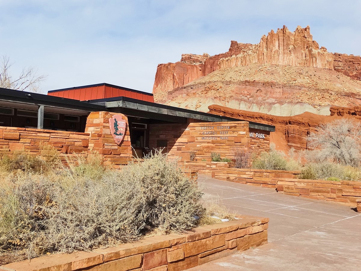
The Capitol Reef Visitor Center sits below cliffs known as "The Castle". — NPS Photo -
Getting There
Torrey, UT 84775
From I-70: Take exit 149, then take UT-24 west toward Hanksville; continue for 43.8 miles (70.5 km). Turn right to continue on UT-24 west and continue for 37.3 miles (60 km).
Full directions
From I-15: take exit 188 then US-50 east toward Scipio. Left on UT-50; continuing 0.7 miles (1.1 km). Turn right onto US-50 east; continue for 24.4 miles (39.3 km). Turn right onto UT-260 south and continue 4.2 miles (6.8 km), then right on UT-24 for 71.3 miles. UT-12: North on highway 12 to Torrey, UT. Right onto UT-24.
Mailing address: HC 70, Box 15, Torrey, UT 84775
Map loads when you scroll here