Today Ebey’s Landing National Historical Reserve preserves the historical, agricultural and cultural traditions of both Native and Euro-American – while offering spectacular opportunities for recreation.
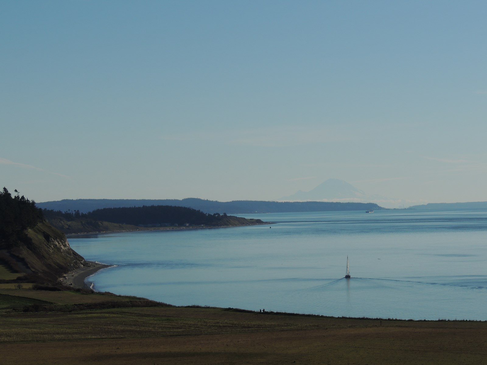 Photo: NPS Photo / H. Richards
Ebey's Landing National Historical Reserve
This stunning landscape on the Salish Sea, with its rich farmland and promising seaport, lured the earliest American pioneers north of the Columbia River to Ebey’s Landing.
- LocationCoupeville, WA
- Entrance No fee listed
- HoursOpen 24 hours, daily
-
 Weather now59°F Overcast
- Alerts No active alerts
Overview
Topics
- Animals
- Architecture and Building
- Asian American Heritage
- Astronomy
- Aurora Borealis
- Birds
- Burial, Cemetery and Gravesite
- Coastal Defenses
24 more topics
- Coasts, Islands and Atolls
- Colonization and Settlement
- Commerce
- Explorers and Expeditions
- Farming and Agriculture
- Fish
- Forts
- Grasslands
- Homesteading
- Landscape Design
- Lighthouses
- Maritime
- Maritime - Military
- Migrations
- Military
- Native American Heritage
- Night Sky
- Oceans
- Prairies
- Rare
- Trade
- Unique Species
- Westward Expansion
- Whales
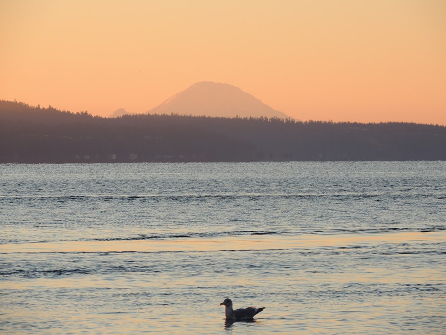
Things to Do
4 experiences from the National Park Service, plus every activity offered in the park. Check details on NPS.gov before you go.
-
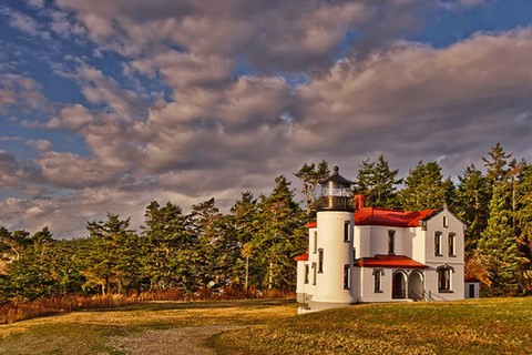
Ebey's Reserve - Fort Casey & Admiralty Head Lighthouse
Reservation required Fee applies
A visit to Fort Casey State Park offers the visitor a glimpse into early military life as well as spectacular views of Mount Rainier and the Olympic Mountains. Camping is also available year-round…
Learn more about Ebey's Reserve - Fort Casey & Admiralty Head Lighthouse on NPS.gov (opens in a new tab) -
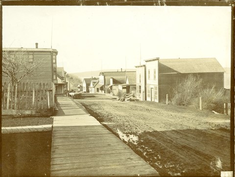
Ebey's Reserve - Historic Coupeville
Pay a visit to one of the oldest towns in Washington State - located in the Central Whidbey Island Historic District and part of Ebey's Landing National Historical Reserve. Shopping, dining are all…
Learn more about Ebey's Reserve - Historic Coupeville on NPS.gov (opens in a new tab) -
Ebey's Reserve - Junior Ranger
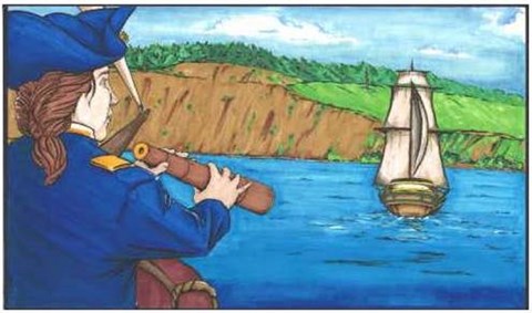
Become and Ebey's Landing National Historical Reserve Junior Ranger! Discover the people who first called this place home. Discover how glaciers shaped the land. Discover the Salish Sea. Discover how…
Learn more about Ebey's Reserve - Junior Ranger on NPS.gov (opens in a new tab) -
Ebey's Reserve - The Jacob & Sarah Ebey House
Reservation required Fee applies
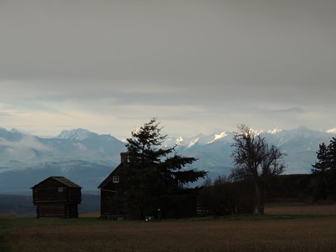
The Jacob and Sarah Ebey House is open to the public from Memorial Day through Labor Day, and staffed by volunteer docents. Interpretive information is available along the trail and at the house.
Learn more about Ebey's Reserve - The Jacob & Sarah Ebey House on NPS.gov (opens in a new tab)
Showing 4 of 4
Activities in the park
Pick one to find other parks that offer it.
- Hiking
- Camping
- Wildlife Watching
- Stargazing
- Astronomy
- Fishing
- Boating
- Paddling
- Biking
- Guided Tours
- Birdwatching
- Horse Trekking
Show 21 more activities
- Junior Ranger Program
- Museum Exhibits
- Picnicking
- Canoe or Kayak Camping
- Canoeing
- Car or Front Country Camping
- Dining
- Food
- Front-Country Hiking
- Group Camping
- Horseback Riding
- Kayaking
- Mountain Biking
- Road Biking
- Sailing
- Saltwater Fishing
- SCUBA Diving
- Self-Guided Tours - Auto
- Self-Guided Tours - Walking
- Shopping
- Stand Up Paddleboarding
Facilities & Services
Find visitor services available in the park. Check current hours and availability before you go.
Other Visitor Services
-
Fort Casey State Park
Facility
Washington State Parks operates two campgrounds in the Reserve. You can find information and reservations at http://www.parks.wa.gov/. Reservations are strongly…
Details
Washington State Parks operates two campgrounds in the Reserve. You can find information and reservations at http://www.parks.wa.gov/. Reservations are strongly recommended, especially during the summer months. -
Fort Ebey State Park
Facility
Washington State Parks operates two campgrounds in the Reserve. You can find information and reservations at http://www.parks.wa.gov/. Reservations are strongly…
Details
Washington State Parks operates two campgrounds in the Reserve. You can find information and reservations at http://www.parks.wa.gov/. Reservations are strongly recommended, especially during the summer months.
Plan Your Visit
Hours
Open 24 hours, daily · Ebey's Landing National Historical Reserve
Hours by area (3)
-
Ebey's Landing National Historical ReserveOpen 24 hours, daily
The Reserve is over 80% privately owned, contains three Washington State Parks, and the historic town of Coupeville. There are no hours or fees for visiting the Reserve, but individual business and parks within the Reserve set their own hours.
-
Jacob and Sarah Ebey HouseToday: 10:00AM - 4:00PM
The historic Jacob & Sarah Ebey House and the Ebey Blockhouse are open to the public during the summer months, Thursdays through Sundays, from 10am to 4pm.
Monday Closed Tuesday Closed Wednesday Closed Thursday 10:00AM - 4:00PM Friday 10:00AM - 4:00PM Saturday 10:00AM - 4:00PM Sunday 10:00AM - 4:00PM -
Administrative OfficeToday: 9:00AM - 5:00PM
The administrative offices located in the Cottage at Sunnyside are open from 9 to 5, Monday through Friday.
Monday 9:00AM - 5:00PM Tuesday 9:00AM - 5:00PM Wednesday 9:00AM - 5:00PM Thursday 9:00AM - 5:00PM Friday 9:00AM - 5:00PM Saturday Closed Sunday Closed
Entrance fees
No entrance fees listed.
Address
162 Cemetery RoadCoupeville, WA 98239
Contact the park
Weather & conditions
59°F
Overcast · feels like 57°
-
Today
65° 49°
Overcast23% rain
-
Tomorrow
 58° 54°
Sunny19% rain
58° 54°
Sunny19% rain -
Sunday
58° 54°
Sunny15% rain
Updated 5 hr ago
What to expect by season
Fall and Winter often bring blustery and rainy weather, and while winter storm watching might be fun from the many beaches within the Reserve, it's important to watch for high waves and logs coming ashore. Always dress appropriately for the weather, which can change suddenly from warm to chilly very quickly.
Photos
-
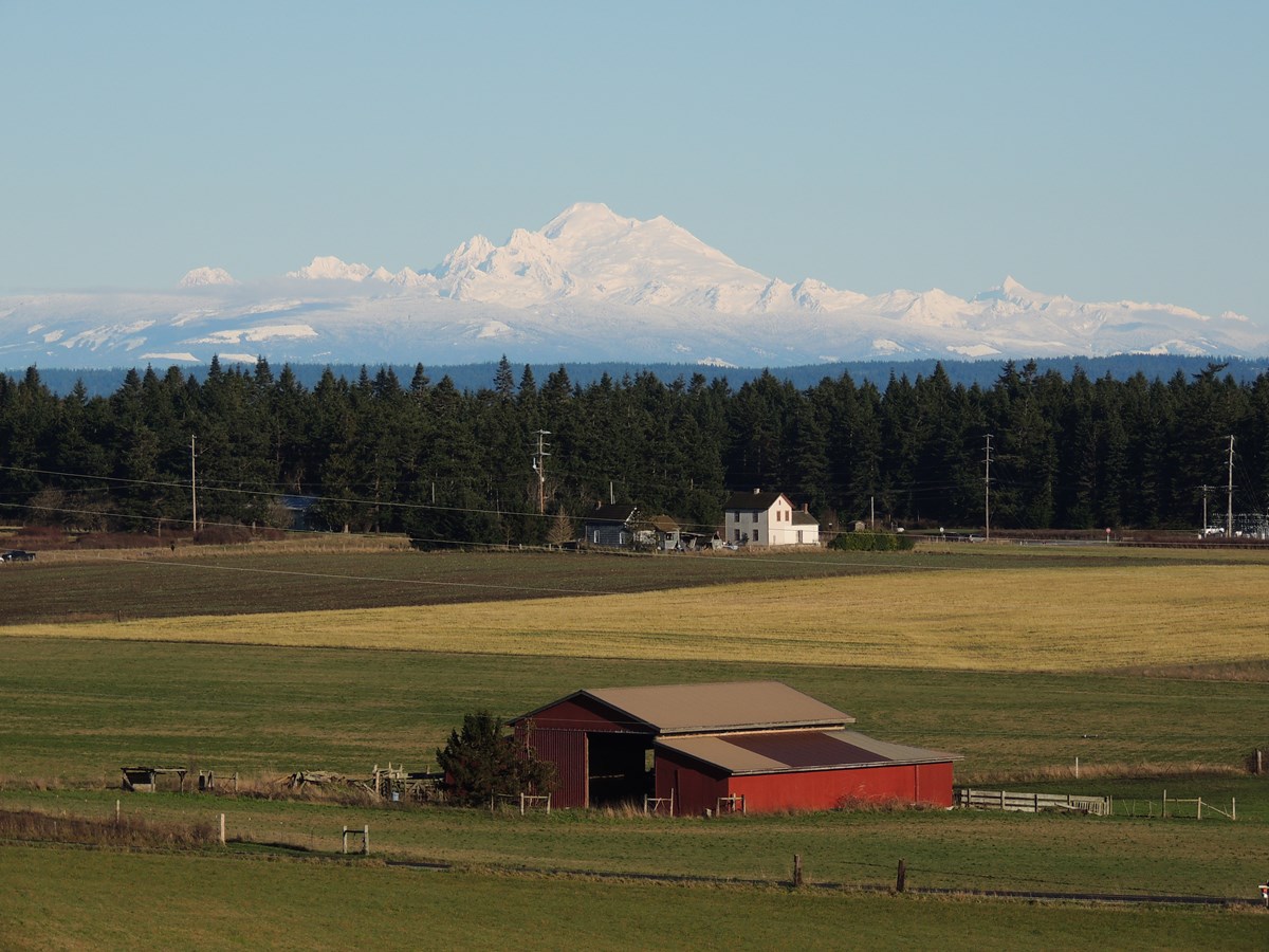
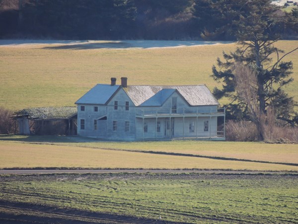
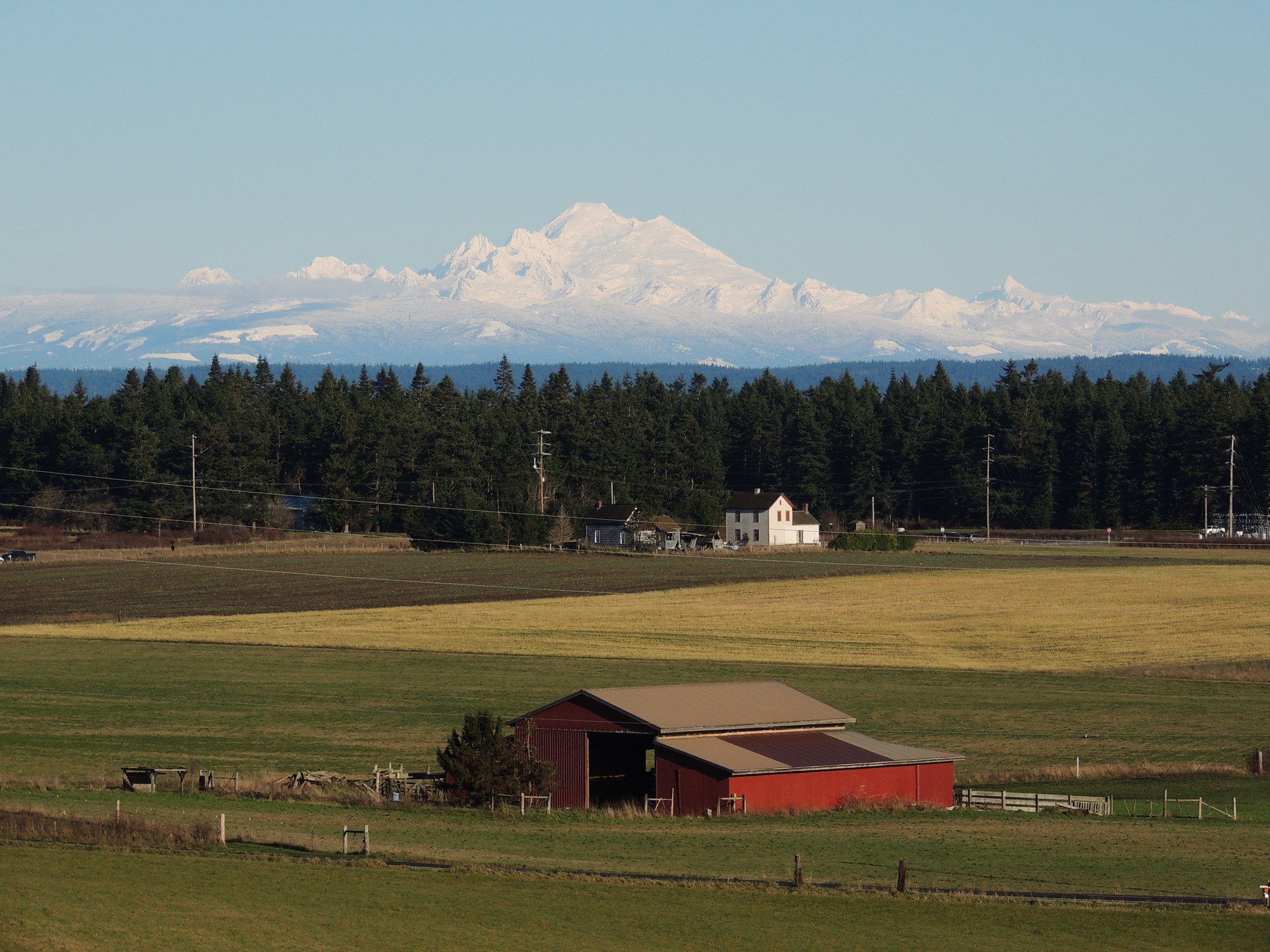
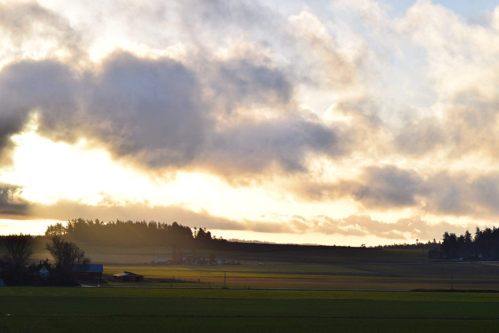
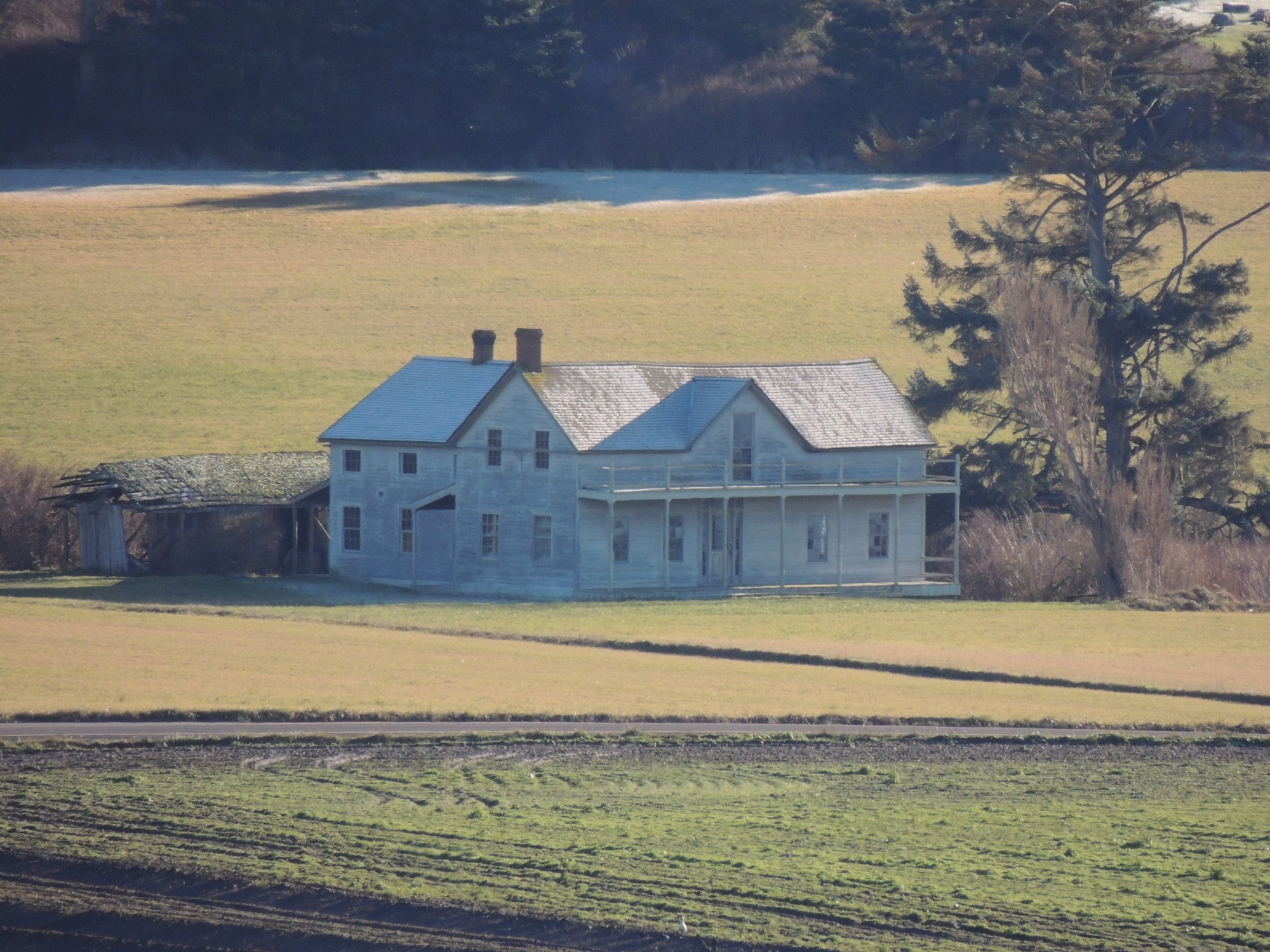
The views from the prairie overlook tell a story of farming and community that stretches back for centuries. — NPS Photo / H. Richards -
-
Getting There
Coupeville, WA 98239
Ebey's Landing National Historical Reserve is on Whidbey Island in the Puget Sound. The island is easily accessible from the mainland by vehicle via Washington State Route 20 from Burlington and aboard the Washington State Ferries from either Mukilteo or Port Townsend.
Mailing address: PO Box 774, Coupeville, WA 98239
Map loads when you scroll here