Explore a diverse array of histories contained within El Camino Real de los Tejas’ 150-year life, including the Spanish struggle to missionize American Indian nations, the growth of cattle ranching in the Mexican period, and the movement for Texan independence and statehood.
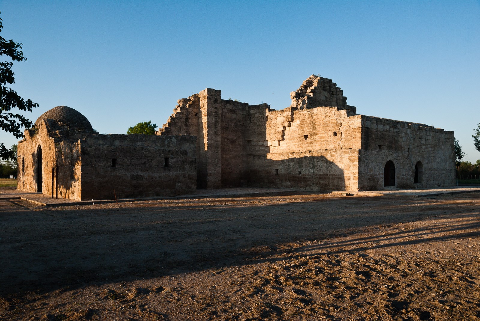 Photo: Christopher Talbot
El Camino Real de los Tejas National Historic Trail
- LocationSanta Fe, NM
- Entrance No fee listed
- HoursOpen 24 hours, daily
-
 Weather now88°F Light rain shower
- Alerts No active alerts
Overview
Topics
- Archeology
- Architecture and Building
- Arts
- Colonization and Settlement
- Commerce
- Explorers and Expeditions
- Forts
- Missions
6 more topics
- Native American Heritage
- Photography
- Religion and Spirituality
- Schools and Education
- Trade
- Trails
Things to Do
4 activities. Pick one to find other parks that offer it.
Plan Your Visit
Hours
Open 24 hours, daily · El Camino Real de los Tejas National Historic Trail
Hours details
-
El Camino Real de los Tejas National Historic TrailOpen 24 hours, daily
El Camino Real de los Tejas National Historic Trail is not a clearly marked hiking trail. Instead it is a route that passes through communities, urban areas, public lands, and Wilderness. The route travels across a variety of land ownerships and management, including private land. Each location varies as to the hours of operations and access. Please contact individual trail sites before your visit for more information.
Entrance fees
No entrance fees listed.
Weather
88°F
Light rain shower · feels like 91°
-
Today
89° 73°
Light rain shower85% rain
-
Tomorrow
 81° 73°
Overcast89% rain
81° 73°
Overcast89% rain -
Saturday
 82° 71°
Patchy rain nearby87% rain
82° 71°
Patchy rain nearby87% rain
Updated 4 hr ago
WeatherFlood Advisory Details
Flood Advisory issued October 1 at 10:53AM CDT until October 1 at 3:00PM CDT by NWS Austin/San Antonio TX
* WHAT...Flooding caused by excessive rainfall is expected.
* WHERE...Northwestern Bexar County in south central Texas...
Eastern Burnet County in south central Texas...
Comal County in south central Texas...
Hays County in south central Texas...
Medina County in south central Texas...
Travis County in south central Texas...
Williamson County in south central Texas...
* WHEN...Until 300 PM CDT.
* IMPACTS...Minor flooding in low-lying and poor drainage areas. Some
low-water crossings may become impassable.
* ADDITIONAL DETAILS...
- At 1053 AM CDT, Doppler radar indicated heavy rain due to
thunderstorms. Minor flooding is ongoing or expected to begin
shortly in the advisory area. Up to 1.5 inches of rain have
fallen.
- Additional rainfall amounts up to 3 inches are expected over the
area. This additional rain will result in minor flooding.
- Some locations that will experience flooding include...
San Antonio, Austin, Round Rock, New Braunfels, Cedar Park,
Georgetown, San Marcos, Pflugerville, Schertz, Kyle, Taylor, Live
Oak, Buda, Selma, Hondo, Dripping Springs, Castroville,
Wimberley, Granger and Bertram.
- http://www.weather.gov/safety/flood
What to expect by season
Due to the length of El Camino de los Tejas National Historic Trail, be sure to consult local weather sources for the region you'll be visiting. Check out the forecast with the National Weather Service and search for the area you'd like to visit.
Contact the park
Photos
-
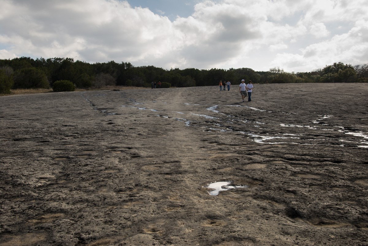
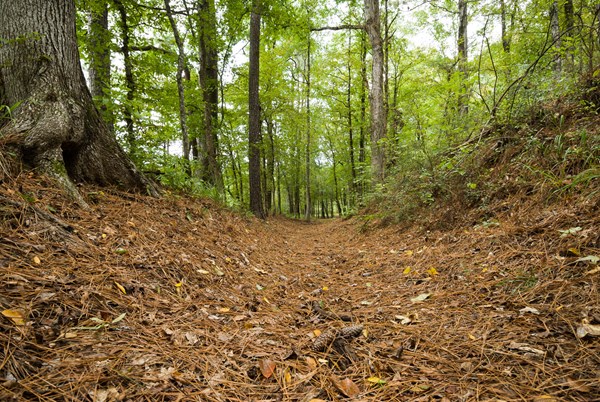
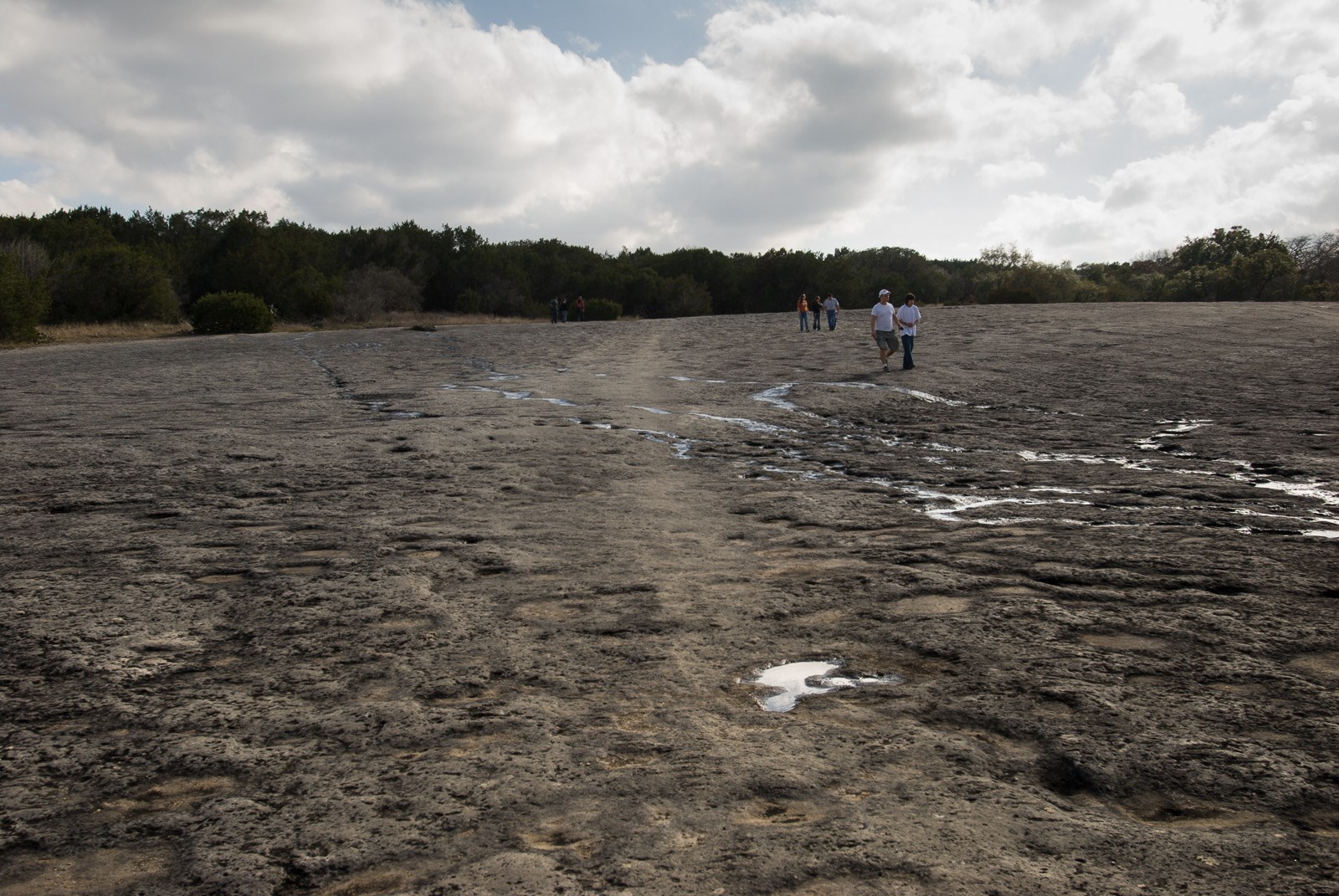
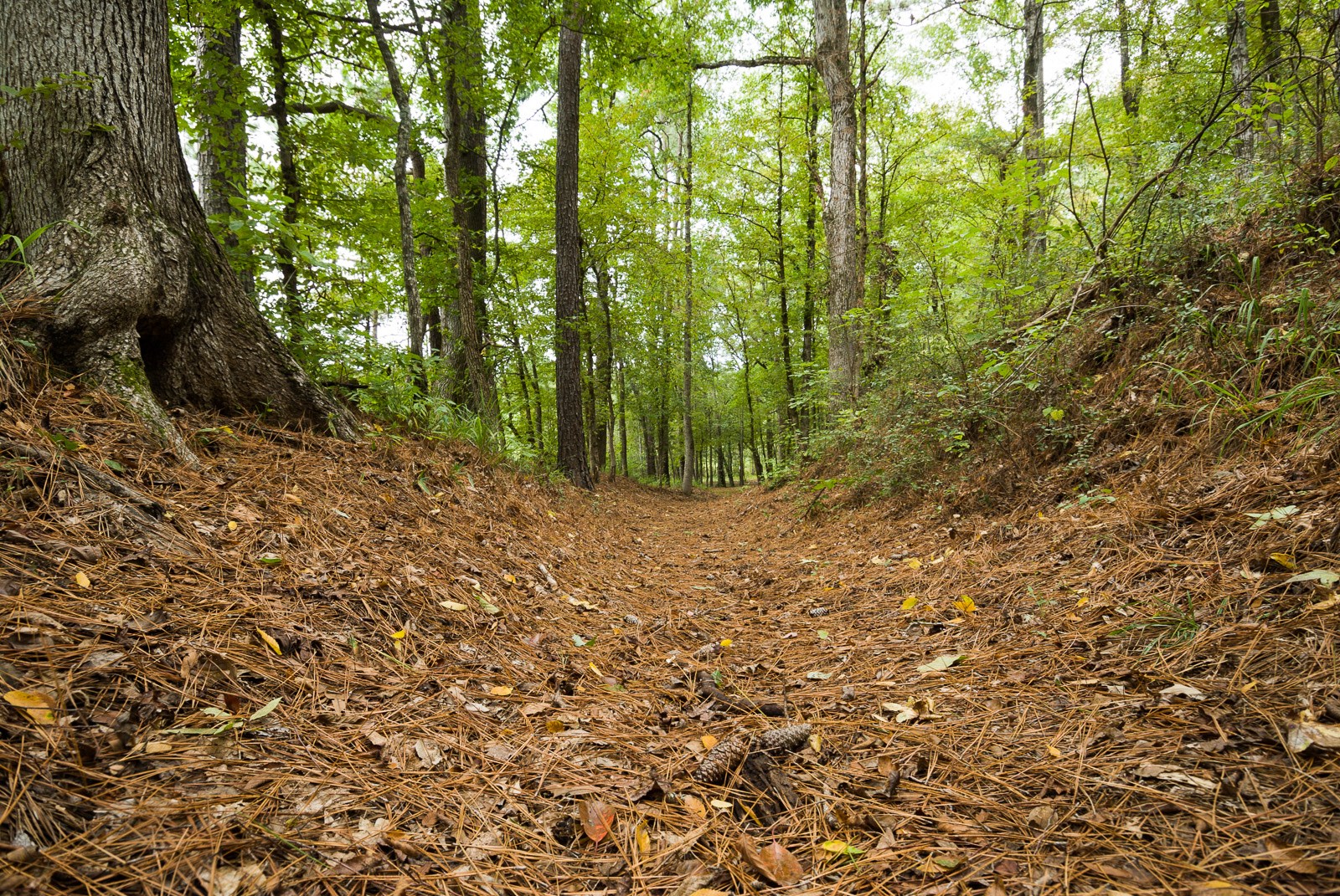
Recent research reveals that in 1716 the expedition of Domingo Ramón followed the left bank of Onion Creek along the western edge of McKinney Falls State Park to its junction with Williamson Creek. You can walk in rock indentations in the creek bed. — Christopher Talbot -
Getting There
Santa Fe, NM 87505
You can visit many sites of the El Camino Real de los Tejas National Historic Trail over the 2,580-mile historic route that crosses 2 states, and travels into Mexico, to Mexico City.
Mailing address: National Trails Office Regions 6, 7, & 8, Santa Fe, NM 87505
Map loads when you scroll here