Fort Bowie National Historic Site
Designation: National Historic Site
Location: Arizona
📘 Park Overview
For nearly 25 years, Fort Bowie stood at the crossroads of the Chiricahua Apache's fight to defend their ancestral homeland and the U.S. Army's westward expansion. Today, visitors embark on a 3-mile scenic loop trail traversing the ground where this profound cultural collision forever altered the course of both American and Indigenous history.
🌤 Weather Information
🚗 Directions
From Willcox, AZ / points west on I-10: drive 23 miles east of Willcox on Interstate 10 to the the town of Bowie. Exit at the first Bowie exit and drive through the town. Follow the signs for Fort Bowie National Historic Site and turn south on Apache Pass Road. Drive 13 miles to the Fort Bowie Trailhead (the last mile of the road is unpaved). Be prepared to walk the three miles round trip to the ruins and back to your car.
Images
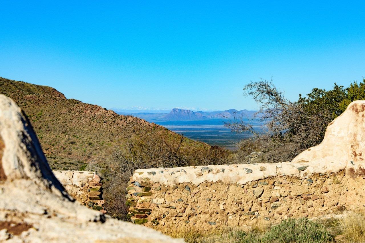
San Simon Valley can be seen just beyond the ruins of the cavalry barracks.
Credit: NPS Photo/ Ron Stewart

The mountain howitzer is a symbolic relic from the active days of Fort Bowie
Credit: NPS Photo
The Post Trader's store on a spring day.
Credit: NPS Photo
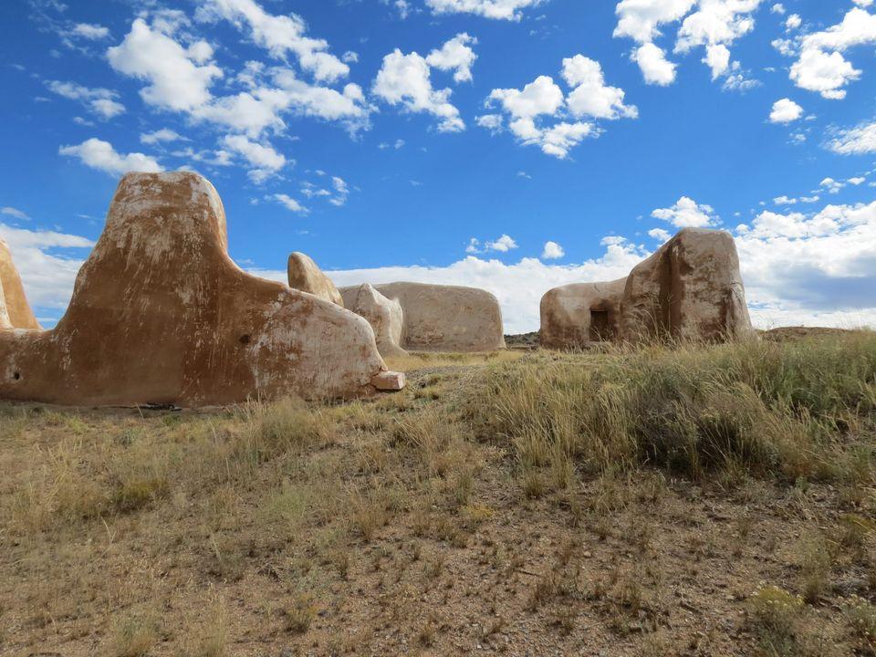
Fort Bowie was once a bustling frontier military fort. Today, the ruins offer a place of reflection.
Credit: NPS Photo
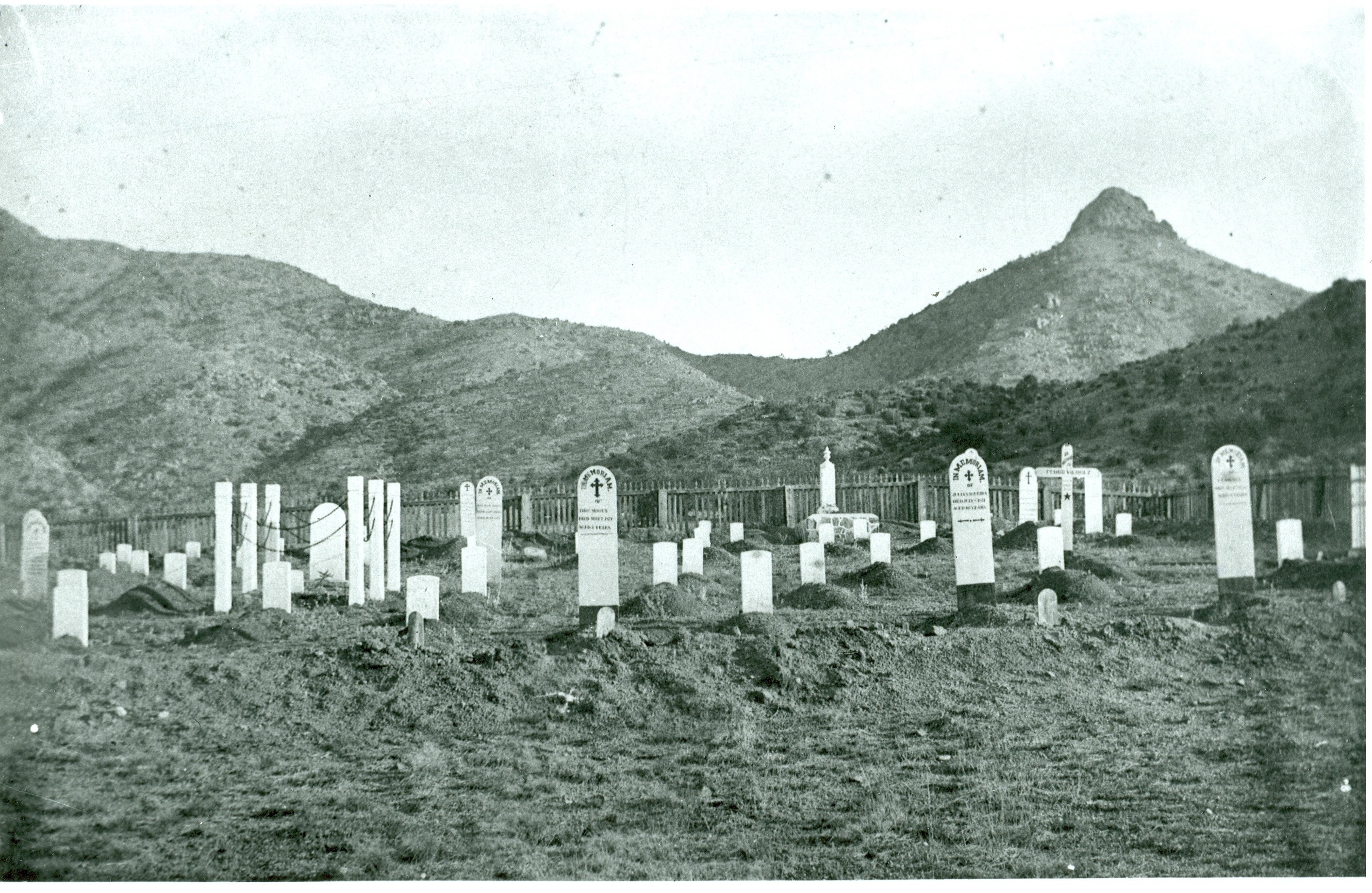
Fort Bowie cemetery is accessed via the Fort Bowie Trail, and in addition to many US troops buried here, some Apache/Indeh are buried here as well.
Credit: NPS Photo
The heliograph was an important communications tool in the late 1880s. Stationed on top of high desert peaks, sunlight was reflected off mirrors in coded patterns to send a message miles away.
Credit: NPS Photo
Activities
Topics
Operating Hours
Entrance Fees
No entrance fees listed.
Entrance Passes
No entrance passes listed.
3-Day Weather Forecast
Sunday, Jun 28

Sunny
High: 97.9°F | Low: 73.2°F
Humidity: 20%
Wind: 26.6 mph
Rain Chance: 0%
UV Index: 12.1
Sunrise: 05:13 AM
Sunset: 07:27 PM
Moon: Full Moon (100%)
Visibility: 6 mi
Dew Point: 69.7°F
Cloud Cover: 0%
Pressure: N/A mb
Air Quality (PM2.5): N/A
Ozone: N/A
EPA Index: N/A
Monday, Jun 29
Sunny
High: 93.2°F | Low: 66.8°F
Humidity: 27%
Wind: 24.6 mph
Rain Chance: 1%
UV Index: 12.9
Sunrise: 05:13 AM
Sunset: 07:27 PM
Moon: Full Moon (100%)
Visibility: 6 mi
Dew Point: 65.9°F
Cloud Cover: 1%
Pressure: N/A mb
Air Quality (PM2.5): N/A
Ozone: N/A
EPA Index: N/A
Tuesday, Jun 30
Sunny
High: 92.9°F | Low: 68.5°F
Humidity: 28%
Wind: 23.5 mph
Rain Chance: 0%
UV Index: 12.7
Sunrise: 05:14 AM
Sunset: 07:27 PM
Moon: Full Moon (98%)
Visibility: 6 mi
Dew Point: 65.9°F
Cloud Cover: 0%
Pressure: N/A mb
Air Quality (PM2.5): N/A
Ozone: N/A
EPA Index: N/A
Park Alerts
Park Events
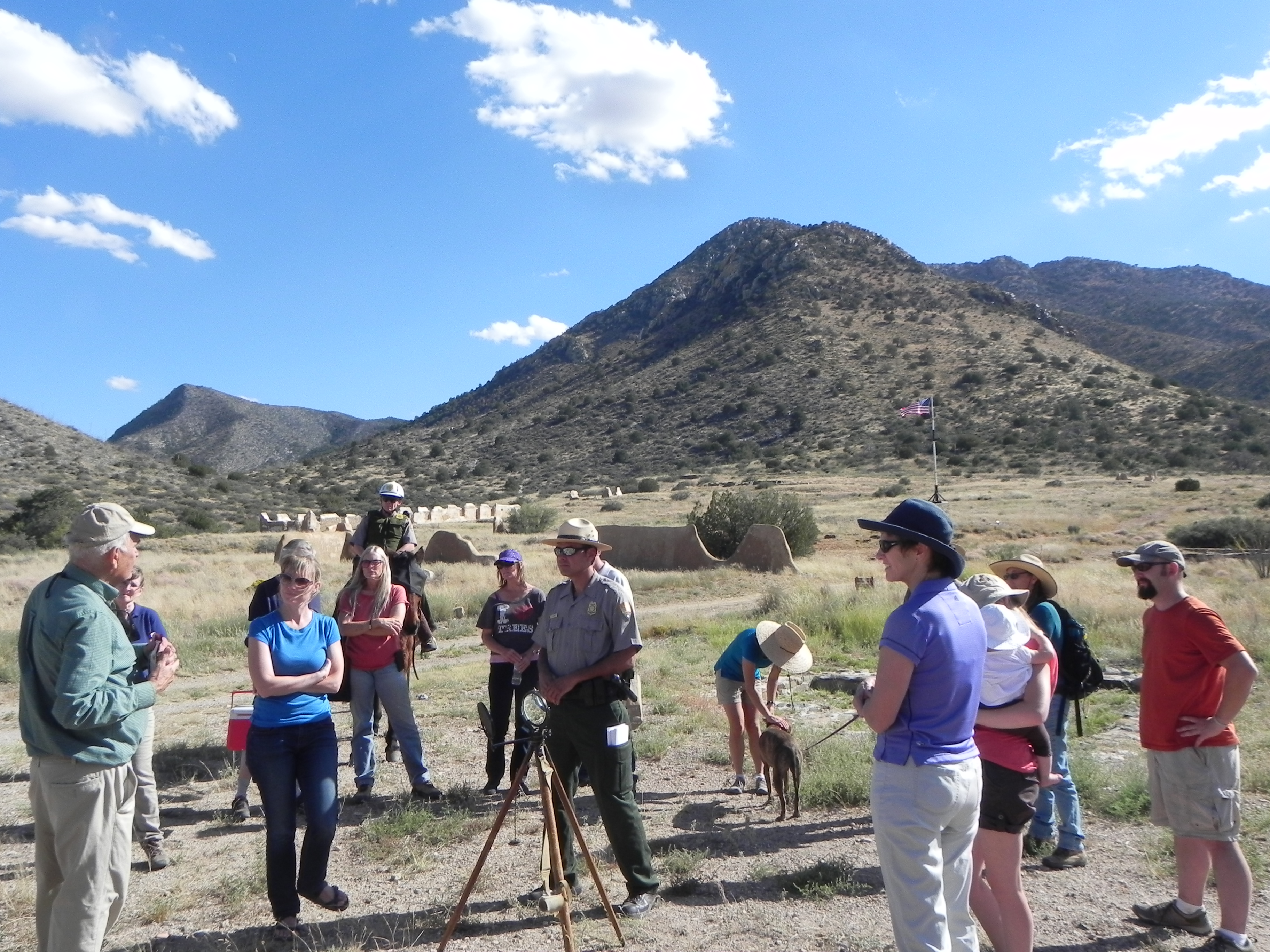
Porch Talk
Join us on the front porch for a short talk about Fort Bowie. Daily topics may include military history, the Apache Wars, the Butterfield Stagecoach, the fort cemetery, nature, and water in the desert.
Location: Meet on the visitor center front porch in front of the fort ruins. If walking in, park at the trailhead on Apache Pass Road and allow an hour or more. If parking in the accessible lot, allow 10 minutes to walk up to the building.
Date: Mar 15, 2026 12:00am to Apr 25, 2026 12:00am
Paid Event
Visitor Center & Contacts
📍 Physical Address:
3500 South Apache Pass Road
Bowie, AZ 85605
🏤 Mailing Address:
P.O. Box 158
Bowie, AZ 85605
📞 Voice Phone: 520-549-6751
✉️ Email: chir_info@nps.gov