📘 Park Overview
Both the harbor and river were named for the shorebird and waterfowl eggs covering their meadows. During the American Revolution, privateers hid here. Established as a National Park Service site in 1992, Great Egg Harbor National Wild and Scenic River is one of nation's best birding spots. Local jurisdictions administer its lands. The 129-mile river system flows through Pinelands National Reserve.
🌤 Weather Information
Temperate, with a moderating influence of the Atlantic Ocean. NOAA Weather Seven-Day Forecast for Mays Landing, New Jersey: https://forecast.weather.gov/MapClick.php?lat=39.4521478&lon=-74.7275318 Tide information for Mays Landing, Great Egg Harbor River, New Jersey: https://www.usharbors.com/harbor/new-jersey/mays-landing-great-egg-harbor-river-nj/tides/
🚗 Directions
Estell Manor Park, where visitors can see the Great Egg Harbor National Scenic and Recreational River, is located 3.5 miles South of Mays Landing, New Jersey, off of Route 50. It is approximately 17 miles west of Atlantic City. There is a stamper for Passport Stamp Books at the Fox Nature Center, and a stamp can be obtained at the mailing address provided below.
Images
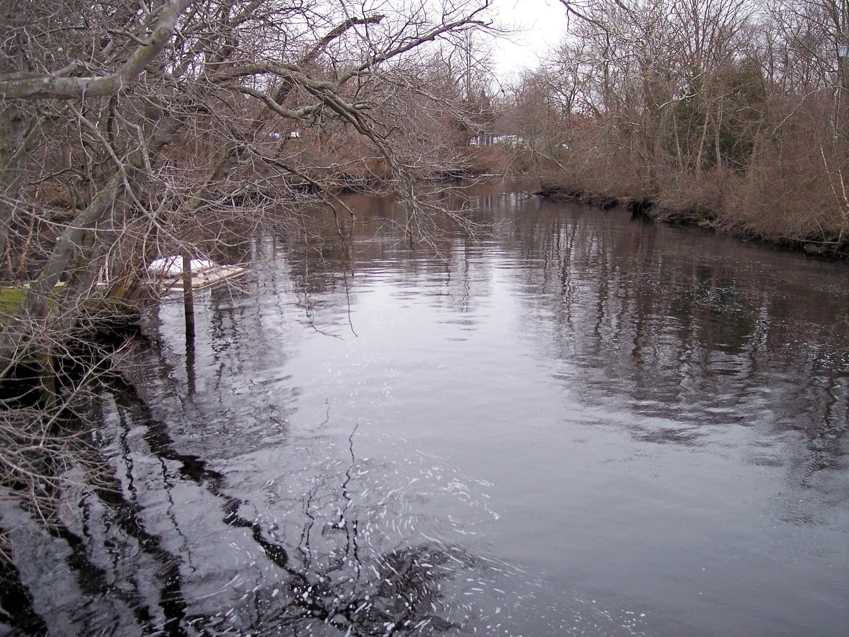
Great Egg Harbor River downstream from Mill Street (New Jersey Route 559) in Mays Landing, New Jersey
Credit: Tim Kiser
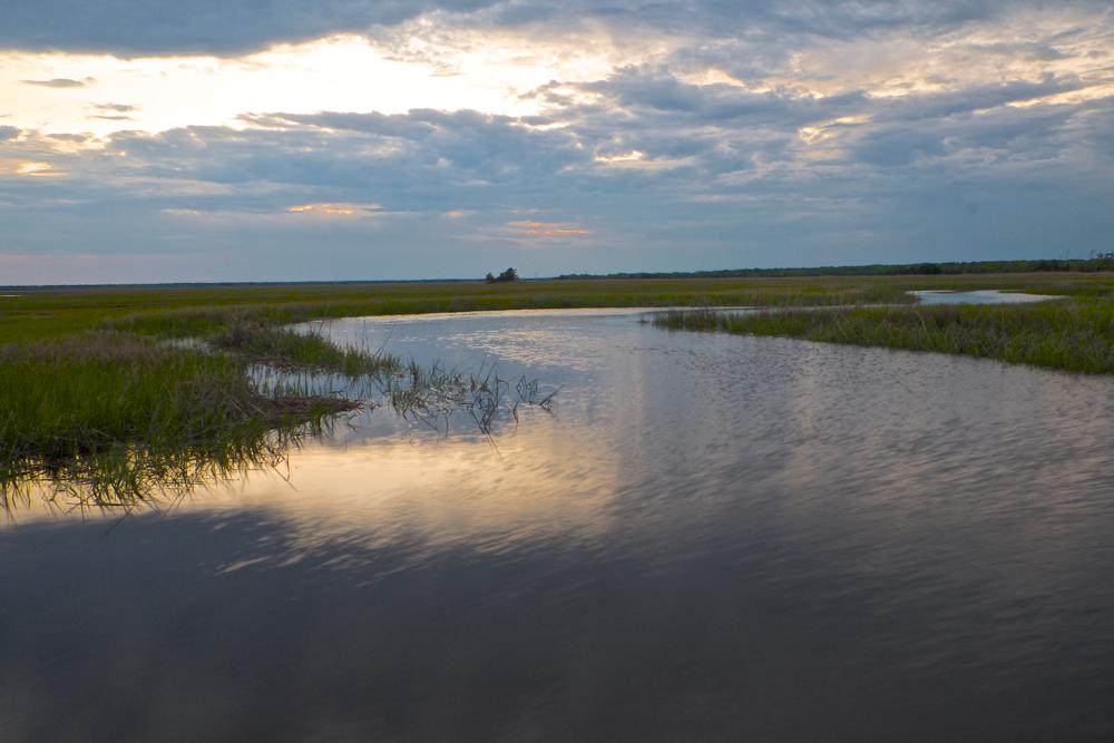
Gibson Creek
Credit: NPS Photo

Students learn about river resources on a floating classroom.
Credit: Akers

Haley's Comet over the Great Egg Harbor River
Credit: NPS Photo
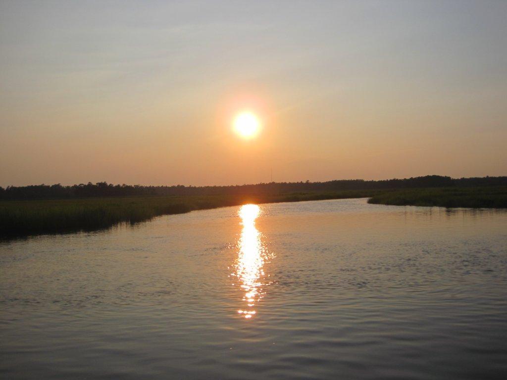
The Great Egg Harbor River
Credit: Palmer
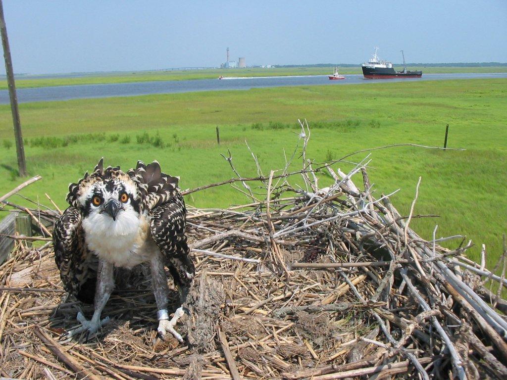
Tuckahoe Osprey
Credit: NPS Photo
Activities
Topics
Operating Hours
Entrance Fees
No entrance fees listed.
Entrance Passes
No entrance passes listed.
3-Day Weather Forecast
Sunday, May 31

Sunny
High: 77.5°F | Low: 47.8°F
Humidity: 66%
Wind: 14.1 mph
Rain Chance: 0%
UV Index: 7.9
Sunrise: 05:34 AM
Sunset: 08:18 PM
Moon: Full Moon (99%)
Visibility: 6 mi
Dew Point: 53.8°F
Cloud Cover: 0%
Pressure: N/A mb
Air Quality (PM2.5): N/A
Ozone: N/A
EPA Index: N/A
Monday, Jun 1
Sunny
High: 70.6°F | Low: 55.4°F
Humidity: 74%
Wind: 14.3 mph
Rain Chance: 0%
UV Index: 8.2
Sunrise: 05:33 AM
Sunset: 08:19 PM
Moon: Waning Gibbous (96%)
Visibility: 6 mi
Dew Point: 56.9°F
Cloud Cover: 0%
Pressure: N/A mb
Air Quality (PM2.5): N/A
Ozone: N/A
EPA Index: N/A
Tuesday, Jun 2
Sunny
High: 62.3°F | Low: 54.1°F
Humidity: 66%
Wind: 17.9 mph
Rain Chance: 0%
UV Index: 7.1
Sunrise: 05:33 AM
Sunset: 08:19 PM
Moon: Waning Gibbous (90%)
Visibility: 6 mi
Dew Point: 51.5°F
Cloud Cover: 0%
Pressure: N/A mb
Air Quality (PM2.5): N/A
Ozone: N/A
EPA Index: N/A
Weather Alerts (1)
Rip Current Statement issued May 31 at 4:06AM EDT until May 31 at 10:00PM EDT by NWS Mount Holly NJ
Effective: May 31, 2026 4:06am
Expires: May 31, 2026 5:15pm
* WHAT...Dangerous rip currents expected.
* WHERE...Coastal Ocean.
* WHEN...From 8 AM EDT this morning through this evening.
* IMPACTS...Rip currents can sweep even the best swimmers away
from shore into deeper water.
Visitor Center & Contacts
📍 Physical Address:
Route 50
Estell Manor, NJ 08330
🏤 Mailing Address:
Great Egg Harbor National Scenic and Recreational River
c/o National Park Service Northeast Region Office
Philadelphia, PA 19107
✉️ Email: lambert_nicole@aclink.org