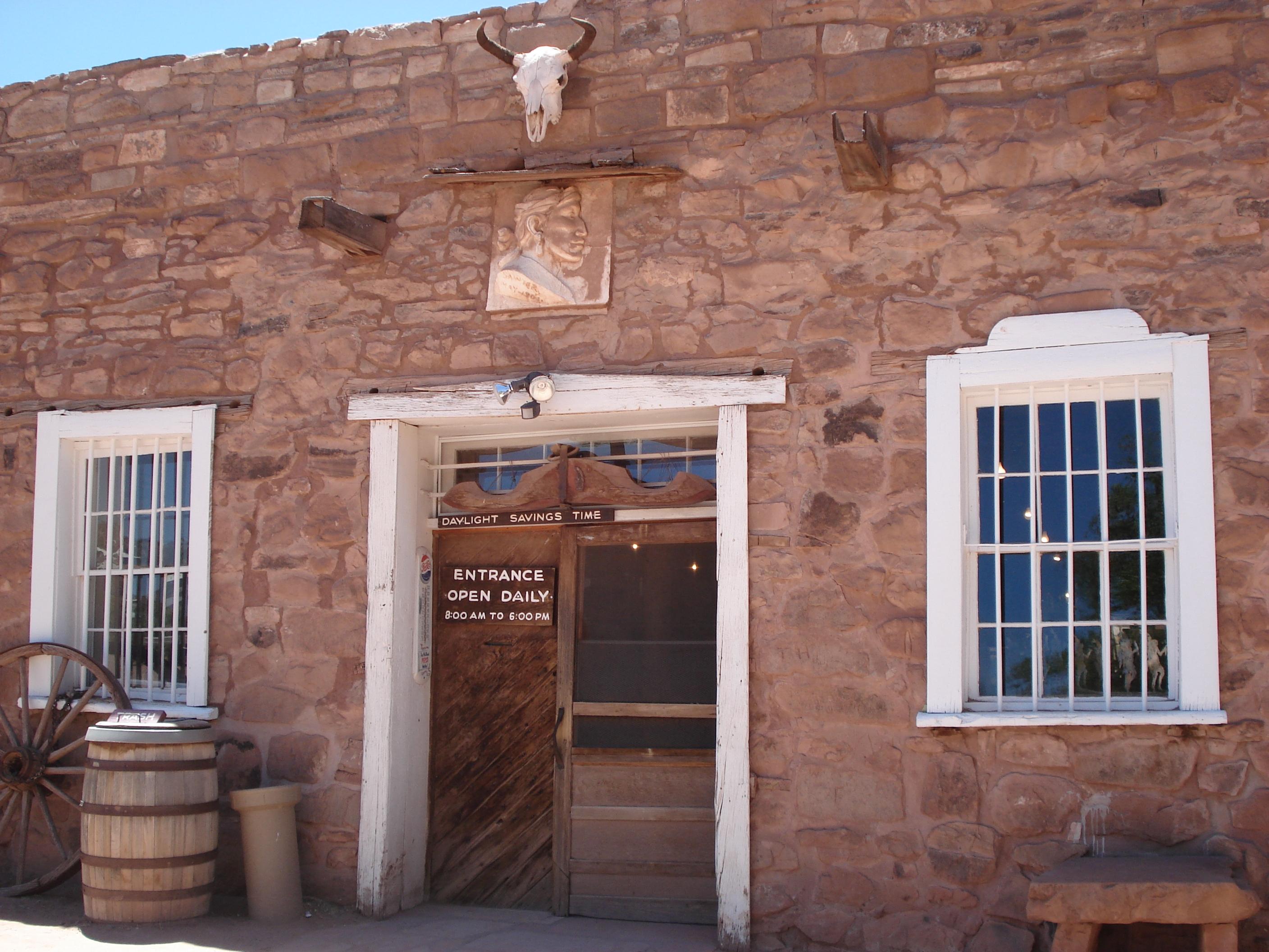
As your eyes adjust to the dim light in the "bullpen", you'll find you've just entered a mercantile. Hubbell's in Ganado has been selling goods and trading Native American Art since 1878.
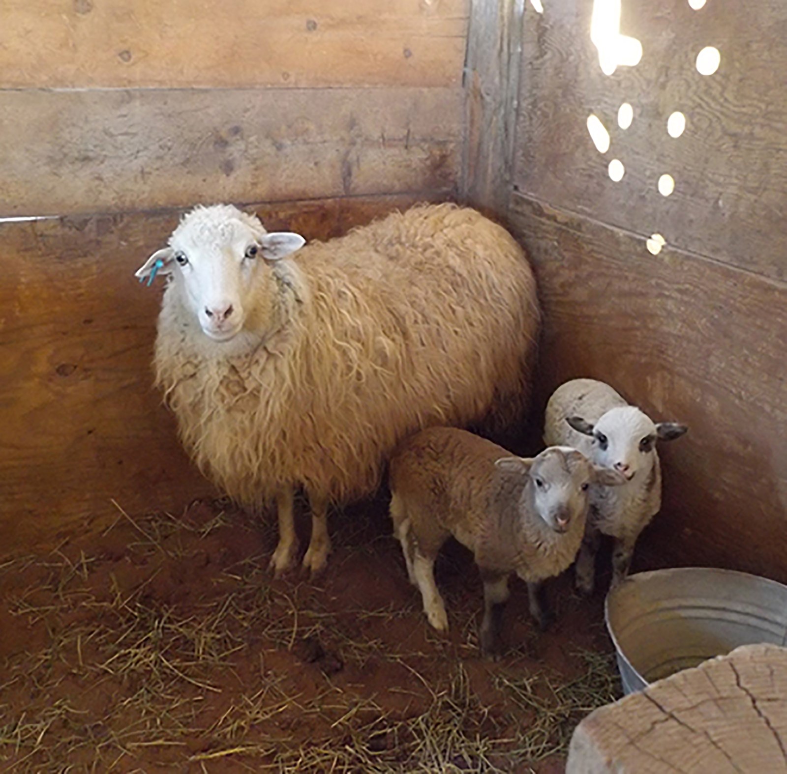
Discover Hubbell Trading Post NHS, sheep, rugs, jewelry and so much more...
Topics
Architecture and Building
Commerce
Native American Heritage
Trade
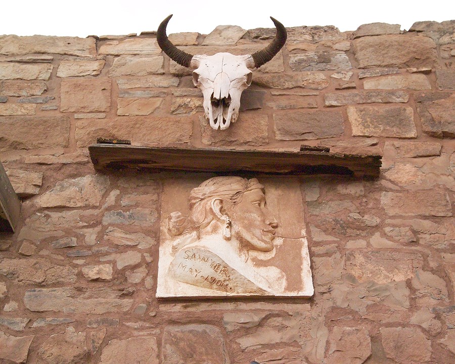
Above the entry way into the trading post, there is a sun-bleached steer skull. — NPS Photo
Alerts (1)
CautionWeather Advisory and Storm WarningsThe park may have delayed openings or closures in the event of severe weather. Travel may not be recommended during thes… Read more
The park may have delayed openings or closures in the event of severe weather. Travel may not be recommended during these times. Please check local forecasts. We appreciate your understanding.
Things to Do
5 activities. Pick one to find other parks that offer it.
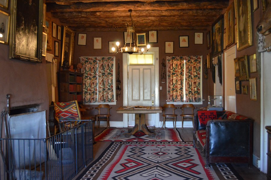
Thousands of visitors have visited the Hubbell Family home in the past 50 years. — NPS Photo
Facilities & Services
Find visitor services available in the park. Check current hours and availability before you go.
Other Visitor Services
Hubbell Trading Post NHS Visitor Center
Facility
The visitor center is located east of the trading post. Interpretive exhibits on Hubbell family, the Long Walk, weaving, and a children's trading post are located…
The visitor center is located east of the trading post. Interpretive exhibits on Hubbell family, the Long Walk, weaving, and a children's trading post are located inside. Ask for brochures and other informational leaflets.
Guided tour tickets for the Hubbell Home are available.
An interactive video, and viewing of 1-2 minutes snapshots of different videos that are for sell at the trading post are all available inside.
Plan Your Visit
Hours
Today: 8:00AM - 5:00PM· Park entrance Winter hours
Hours by area (2)
Park entrance Winter hoursToday: 8:00AM - 5:00PM
Winter park operational hours is 8:00 A.M. to 5:00 P.M. with visitor center opening at 8:00 A.M.
Trading Post opens and closes with Park Entrance hours. Winter hours generally begin during October and end in May of each year.
Monday
8:00AM - 5:00PM
Tuesday
8:00AM - 5:00AM
Wednesday
8:00AM - 5:00AM
Thursday
8:00AM - 5:00PM
Friday
8:00AM - 5:00AM
Saturday
8:00AM - 5:00PM
Sunday
8:00AM - 5:00PM
Park Entrance, Summer hoursToday: 8:00AM - 6:00PM
Park summer operational hours are 8:00 A.M. to 6:00 P.M.
This includes the Visitor Center and Trading Post operations.
Summer hours generally begin in May and end in October of each year.
Monday
8:00AM - 6:00PM
Tuesday
8:00AM - 6:00PM
Wednesday
8:00AM - 6:00PM
Thursday
8:00AM - 6:00PM
Friday
8:00AM - 6:00PM
Saturday
8:00AM - 6:00PM
Sunday
8:00AM - 6:00AM
Entrance fees
No entrance fees listed.
Weather
66°F
Sunny · feels like 60°
Today71°52°
Sunny
2% rain
Tomorrow73°54°
Sunny
1% rain
Saturday77°56°
Sunny
1% rain
Updated 3 hr ago
What to expect by season
Spring is normally windy. Summer can reach into high 90s with thunderstorms beginning in July into August. Fall is cooling off. Last couple of Winters have been dry and with a couple of inches of snow.
1/2 mile west of Hwy 191/264
Ganado, AZ 86505-0150
Hubbell Trading Post National Historic Site is located at mile post 446.3 on AZ state route 264. Visitors traveling on I-40 can take U.S.
Full directions
Highway 191 North to Ganado and drive west on Hwy. 264. If you are traveling from Gallup, New Mexico, you may take U.S. Highway 491 North to U.S. Highway 264 west toward Ganado, through Window Rock,Arizona. When you are driving south from Chinle, Arizona on Hwy. 191 you will drive east when you reach Hwy. 264.