← Back to Search

Ice Age National Scenic Trail

Designation: National Scenic Trail

Location: Wisconsin

Visit Official Park Website

📘 Park Overview

The Ice Age National Scenic Trail spans 1,200 miles, traverses some of Wisconsin's finest geologic and glacial features, and passes through the ancestral lands of 15 Tribes. The Trail is built, managed and maintained by dedicated volunteers, Ice Age Trail Alliance, Wisconsin Department of Natural Resources, local partners, and the National Park Service.

🌤 Weather Information

Wisconsin has four distinct seasons. Summers are generally warm, while winters are cold, often bringing significant snowfall. Weather conditions can vary widely throughout the year and location on the trail. Prepare accordingly for each season when visiting the Ice Age National Scenic Trail.

🚗 Directions

Ice Age National Scenic Trail spans nearly 1,200 miles across Wisconsin. Major commercial airports are located in cities and regional hubs throughout the state, offering access to the trail. Numerous trailheads with parking are available, allowing you to explore the trail at various entry points along the route.

Images

Photograph of a large glacial erratic boulder in autumn with trees covered in colorful foliage and f

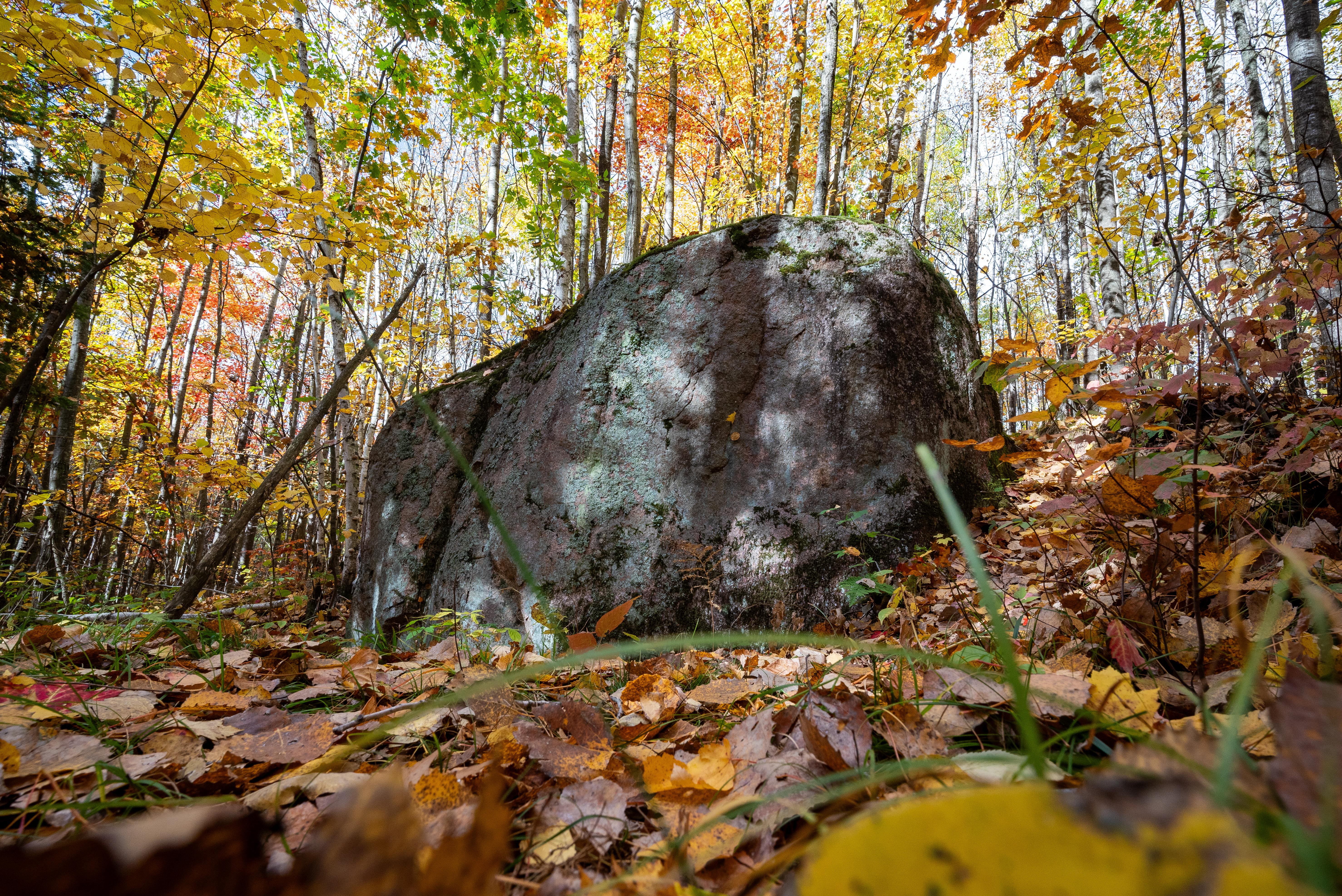
Glacial Erratic Boulder on Harwood Lake Segment of Ice Age National Scenic Trail

Credit: NPS Photo / Billy Flynn

Photograph of an autumn prairie scene with rolling hills edged by trees under a partly cloudy sky.

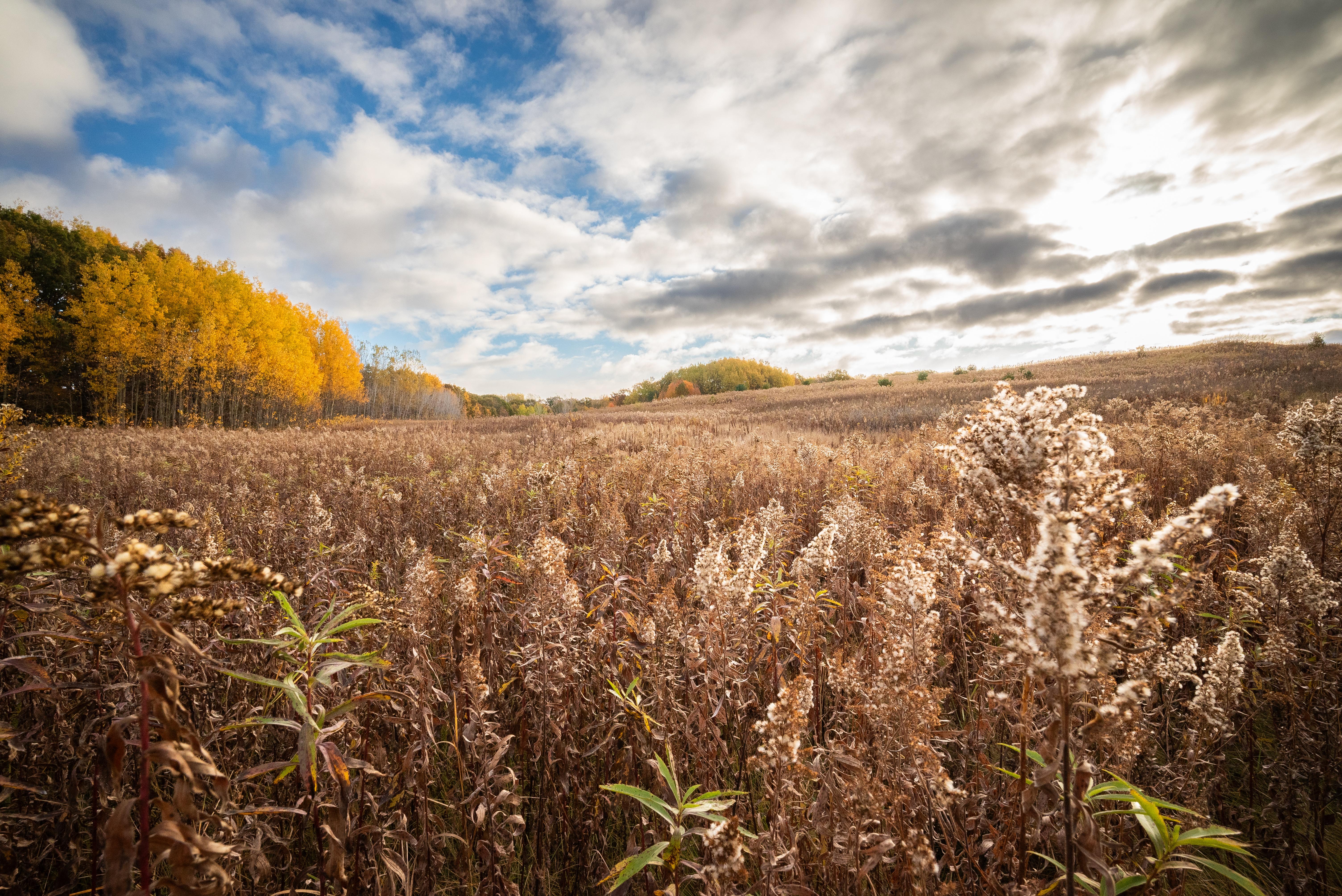
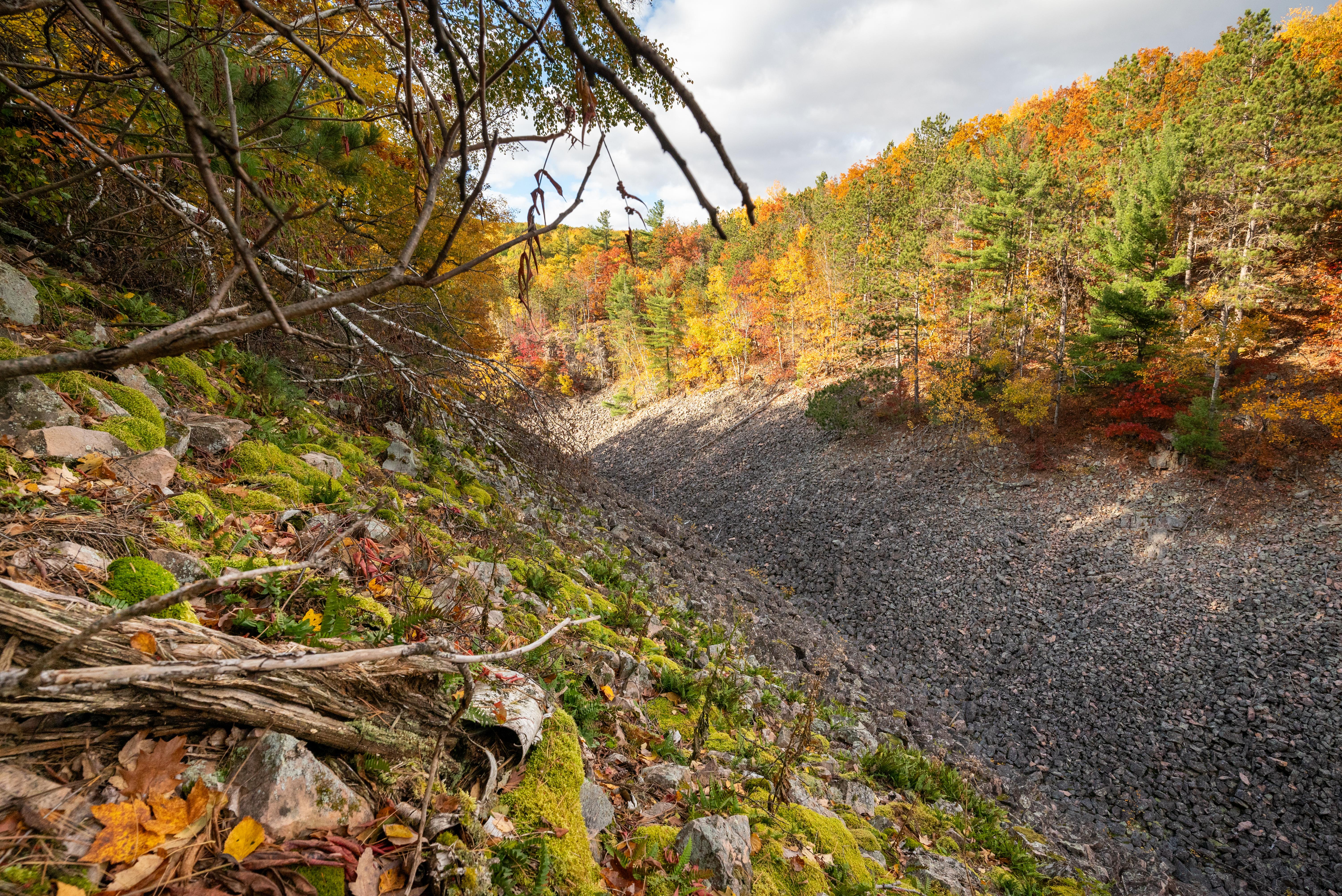
Chippewa Moraine Segment of Ice Age National Scenic Trail

Credit: NPS Photo / Billy Flynn

Photograph of “Ice Age Trail” sign surrounded by a forest with autumn foliage.

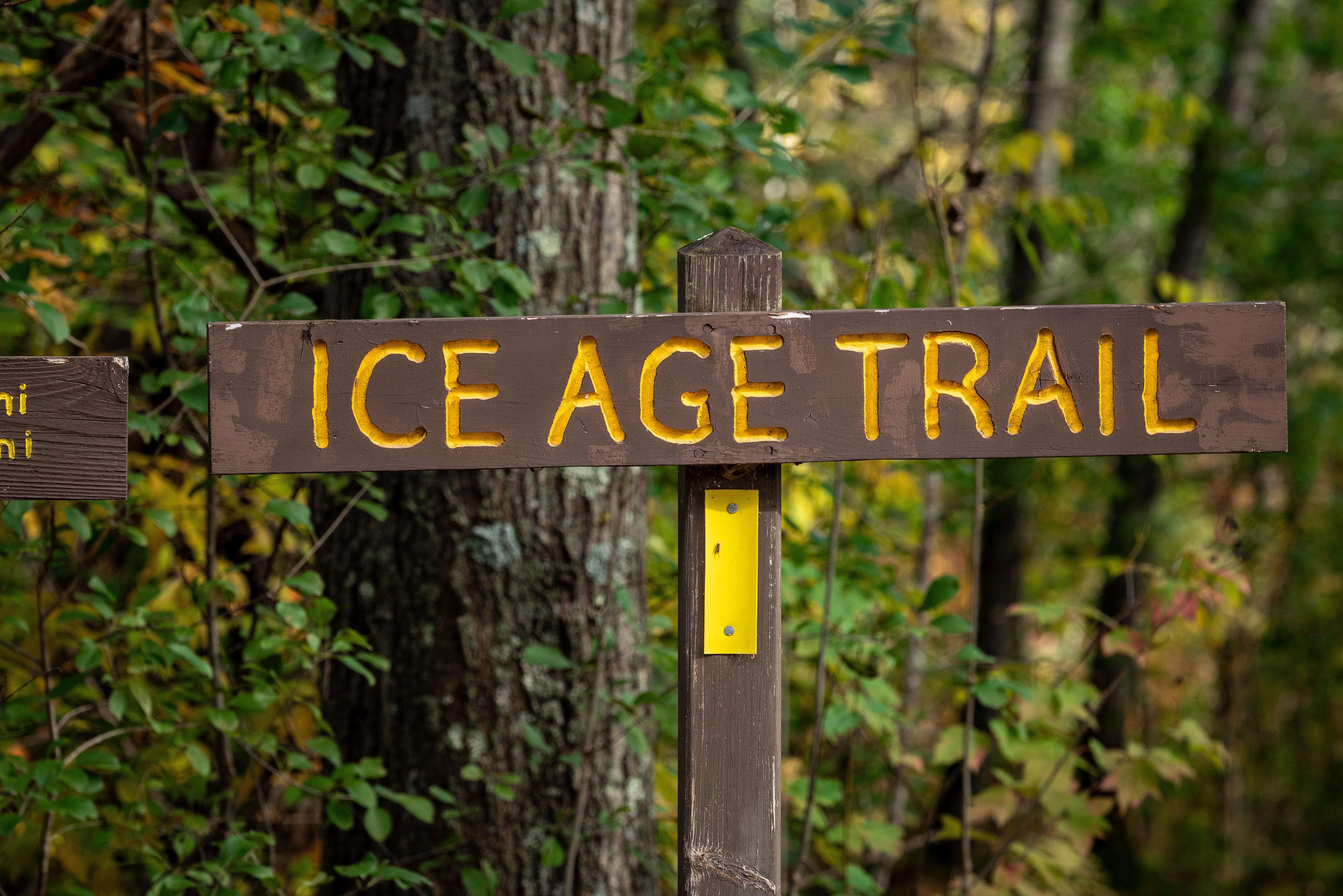
Ice Age Trail sign on the McKenzie Creek Segment of Ice Age National Scenic Trail

Credit: NPS Photo / Billy Flynn

expansive view as seen from atop Gibraltar Rock

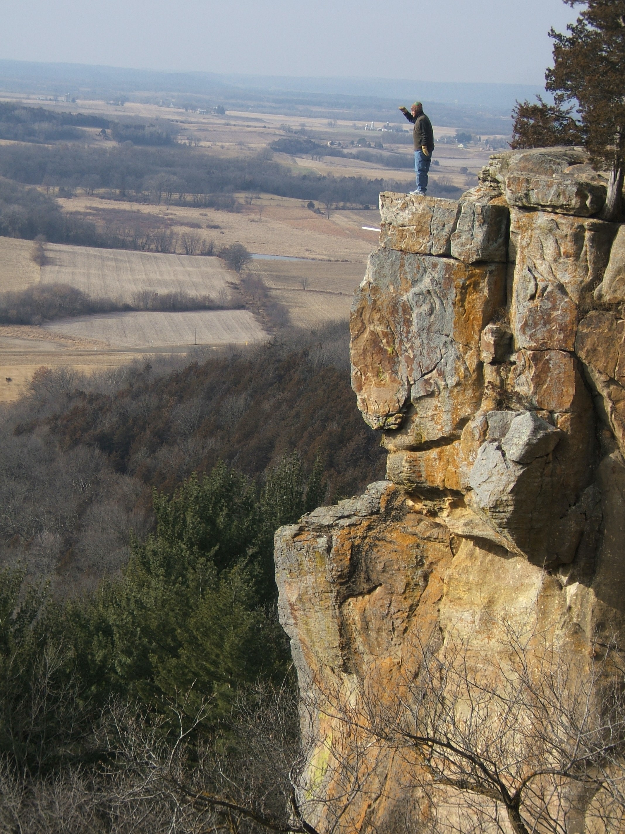
The view extends for many miles from atop Gibraltar Rock.

Credit: IATA/ Eric Sherman

Photograph of a forest scene with a V-shaped boulder-strewn valley.

Blue Hills Felsenmeer in Wisconsin.

Credit: NPS Photo / Billy Flynn

Photograph of “Ice Age Trail” sign surrounded by a forest with autumn foliage.

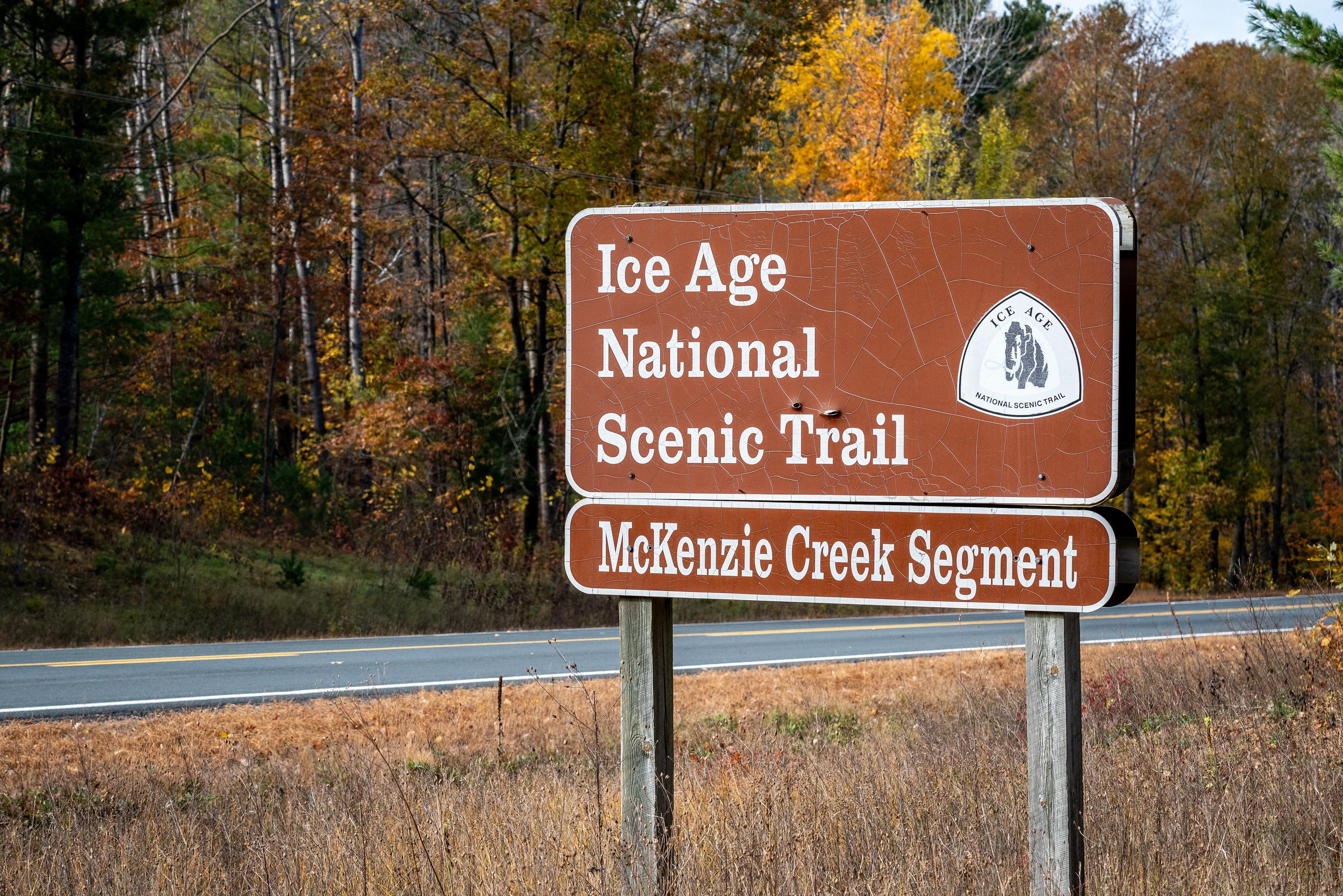
Ice Age National Scenic Trail sign near the McKenzie Creek Segment

Credit: NPS Photo / Billy Flynn

Photograph of a yellow rectangular blaze painted onto the trunk of a tree.

Yellow blazes indicate that you are on Ice Age National Scenic Trail

Credit: NPS Photo / Billy Flynn

Photograph of leaf covered trail in autumn.

Trail on the Straight Lake Segment of the Ice Age National Scenic Trail.

Credit: NPS Photo / Billy Flynn

Photograph of an autumn prairie scene with a grassy trail meandering into the distance.

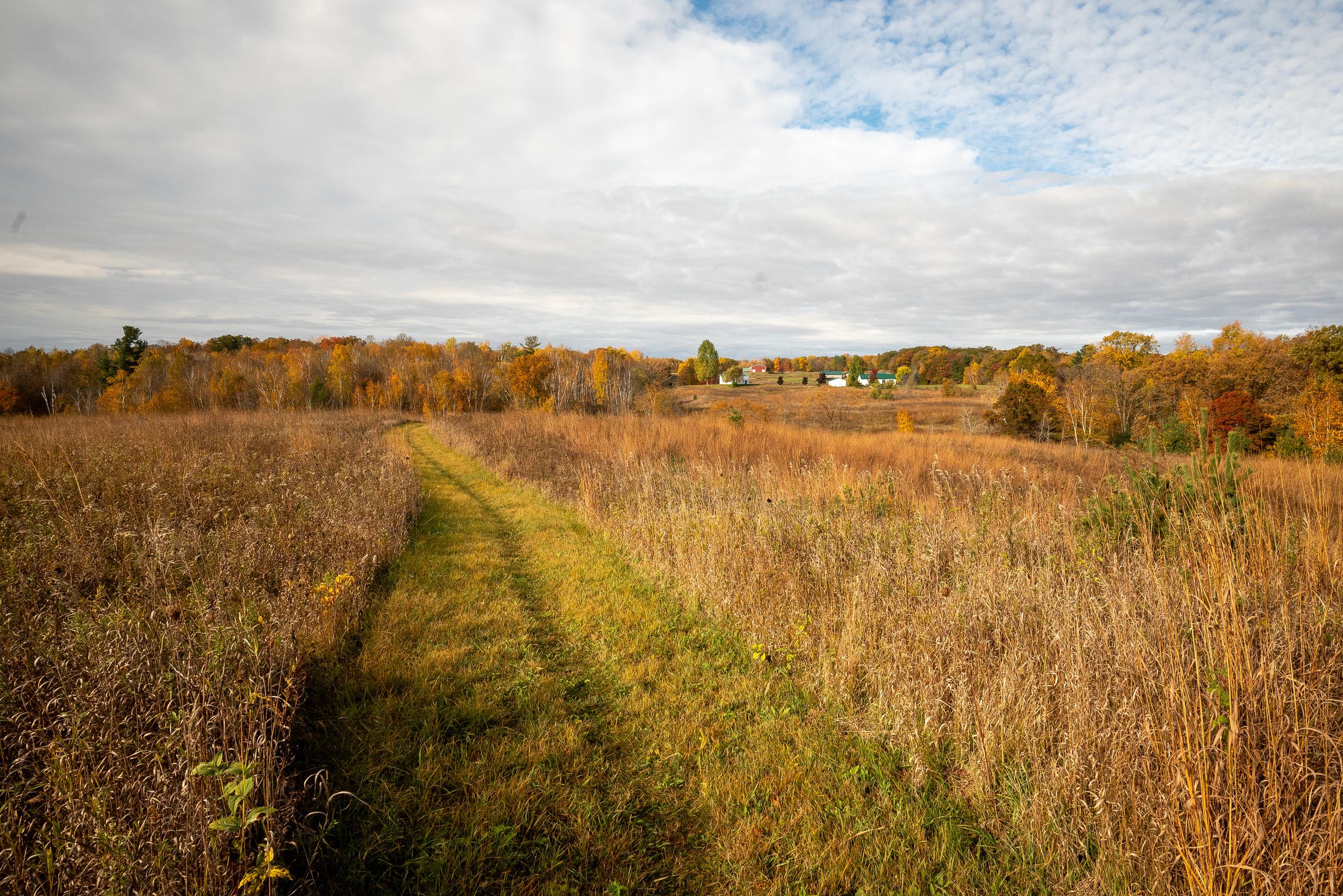
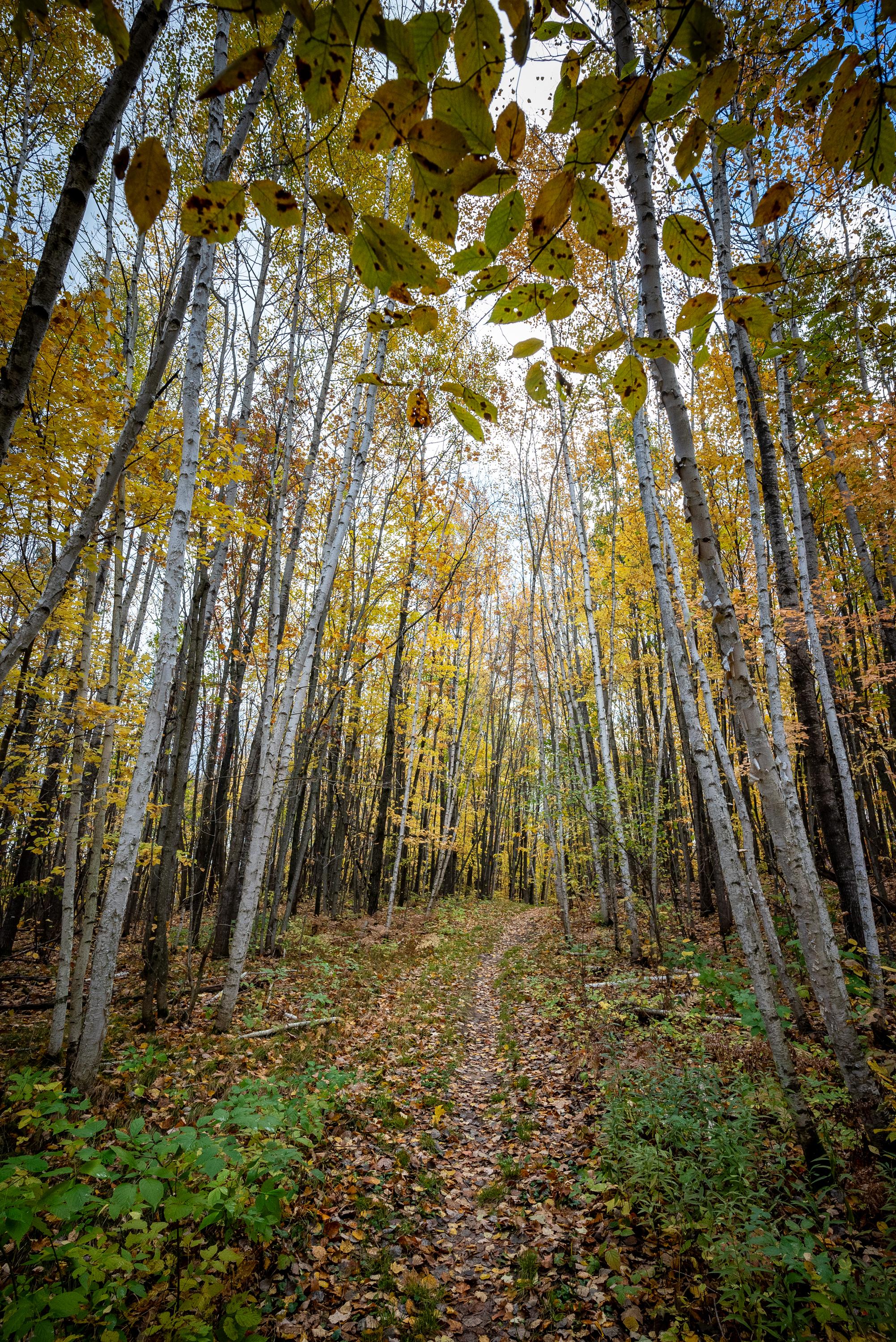
Trail on the Pine Lake Segment of the Ice Age National Scenic Trail

Credit: NPS Photo / Billy Flynn

Photograph of autumn forest scene with dirt trail littered with colorful leaves leading into forest,

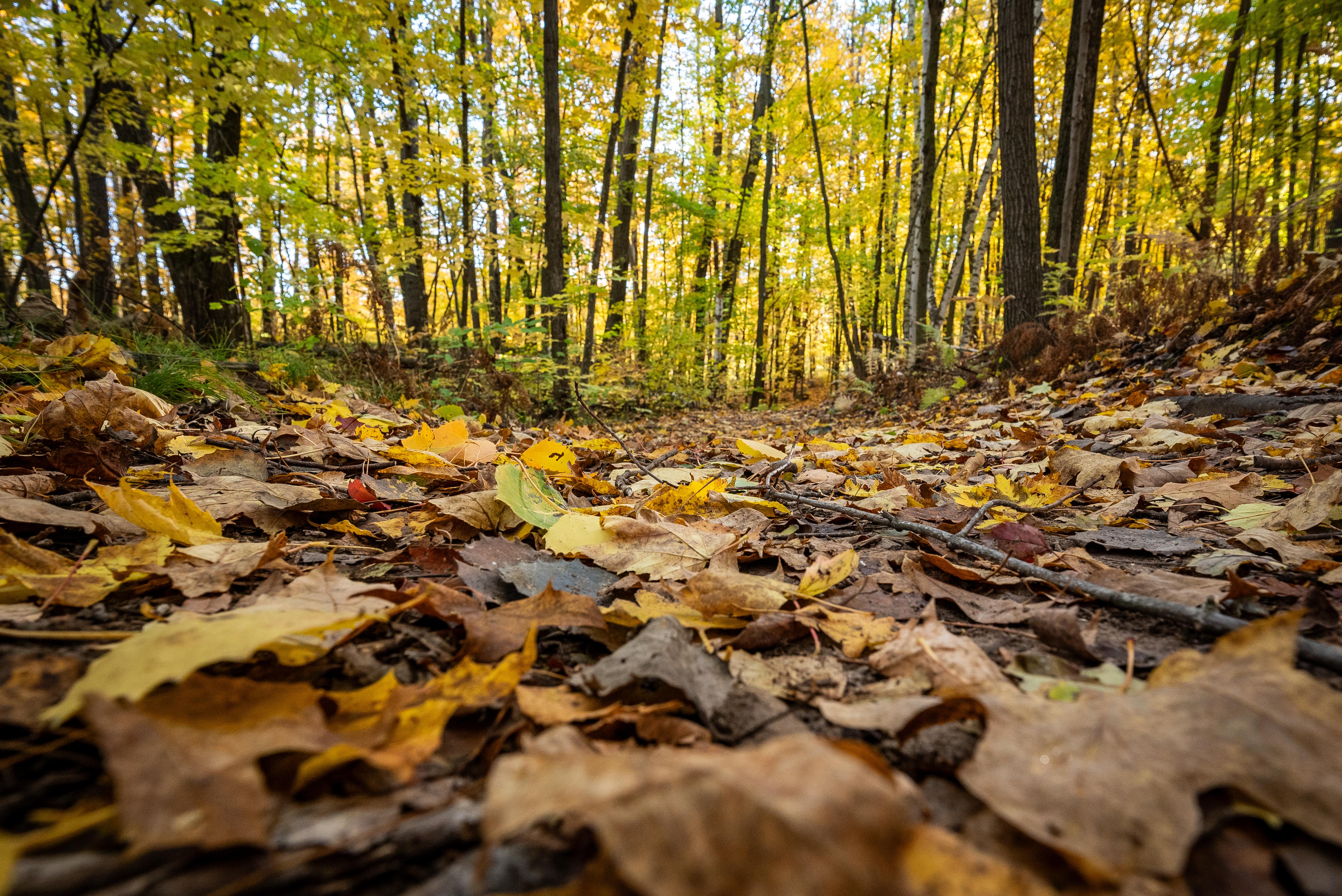
Trail on the Harwood Lake Segment of the Ice Age National Scenic Trail

Credit: NPS Photo / Billy Flynn

Activities

Topics

Operating Hours

Sunday
All Day
Monday
All Day
Tuesday
All Day
Wednesday
All Day
Thursday
All Day
Friday
All Day
Saturday
All Day

Entrance Fees

No entrance fees listed.

Entrance Passes

No entrance passes listed.

3-Day Weather Forecast

Saturday, May 9

Patchy rain nearby

Patchy rain nearby

High: 60.4°F | Low: 43.5°F

Humidity: 51%

Wind: 13.2 mph

Rain Chance: 85%

UV Index: 5.5

Sunrise: 05:40 AM

Sunset: 08:12 PM

Moon: Last Quarter (59%)

Visibility: 5 mi

Dew Point: 42.5°F

Cloud Cover: 85%

Pressure: N/A mb

Air Quality (PM2.5): N/A

Ozone: N/A

EPA Index: N/A

Sunday, May 10

Sunny

Sunny

High: 56.1°F | Low: 36.6°F

Humidity: 58%

Wind: 15 mph

Rain Chance: 0%

UV Index: 6.7

Sunrise: 05:39 AM

Sunset: 08:13 PM

Moon: Waning Crescent (49%)

Visibility: 6 mi

Dew Point: 38.1°F

Cloud Cover: 0%

Pressure: N/A mb

Air Quality (PM2.5): N/A

Ozone: N/A

EPA Index: N/A

Monday, May 11

Sunny

Sunny

High: 58.7°F | Low: 34.3°F

Humidity: 52%

Wind: 6.9 mph

Rain Chance: 0%

UV Index: 6.8

Sunrise: 05:38 AM

Sunset: 08:14 PM

Moon: Waning Crescent (39%)

Visibility: 6 mi

Dew Point: 37.5°F

Cloud Cover: 0%

Pressure: N/A mb

Air Quality (PM2.5): N/A

Ozone: N/A

EPA Index: N/A

Park Alerts

St. Croix Falls Segment — Construction & Intermittent Closures Caution
Construction activity near the St. Croix Falls school complex may mean machinery in the area. The Ice Age Trail remains open. Trail closures and detours are anticipated in the spring. To bypass when hiking eastbound, head north on Jackson Street, east on Louisiana Street, and south on Blanding Woods Road.

More Info

General Advisory — Flooding Possible Caution
Recent heavy rainfall may cause flooding in various areas, and some roads may be closed. Heed all local warnings and signs. Stay alert. Remain on the trail. Use caution.

More Info

Hemlock Creek Segment — Logging Activities Caution
Logging operations along the Hemlock Creek Segment may mean heavy machinery and trucks in the area. The Ice Age Trail follows a logging road used for storage and transport of logs. The Trail is open. Stay alert. Remain on the trail. Use caution. Keep dogs leashed.

More Info

Straight River Segment — Partial Trail Closure Park Closure
A 0.3‑mile section of the Straight River Segment south of 270th Avenue is closed indefinitely. To bypass this closure, from the eastern end of the Straight Lake Segment continue south on CTH‑I and east on STH‑48. This 2.4‑mile bypass replaces 2.0 miles of connecting route and Ice Age Trail.

More Info

Devil’s Lake Segment — Balanced Rock Trail Closed May 4–8 Park Closure
The Balanced Rock Trail will be closed May 4–8 for a trail improvement project. Use the Grottos and Potholes trails to bypass this closure.

More Info

Skunk and Foster Lakes Segment — Storm Damage Caution
Storm damage west of North Foley Road has left many downed trees, and the white‑blazed loop may be impassable. Use caution if hiking this area, or use North Foley Road to bypass it. Volunteers are assessing conditions and working to clear the Trail.

More Info

Janesville Segment — Partial Trail Closure Park Closure
A 1.6-mile section of the trail from Riverside Park to Mineral Point Ave is closed due to flooding. To bypass this closure, use Parkside Dr, N Washington St, N Terrace St, and Mineral Point Ave for the 1.9-mi temporary detour.
Iola Ski Hill Segment — Storm Damage Caution
Severe storm damage has created hazardous conditions on the Iola Ski Hill Segment. Many areas may be impassable. Hiking this segment is strongly discouraged until cleanup occurs. Use CTH‑T and CTH‑MM to bypass this section.

More Info

Point Beach Segment — Partial Trail Closure March 4 to June 15 Park Closure
The Ice Age Trail and parking area on the west side of CTH-O in Point Beach State Forest will be closed March 4 through June 15 during a timber harvest for public safety. All trails and parking areas west of CTH-O will be closed. To bypass when hiking eastbound, take CTH-O north and continue west around the bend where the road becomes CTH-V. The 2.1-mile reroute replaces 2.0 miles of Trail.

More Info

Indian Creek Segment — Machinery and Parking Closure Caution
Recent logging near CTH-E (15th Street) may mean heavy machinery and log piles in the area. The parking lot on CTH-E remains closed to hikers. The Ice Age Trail is open. Stay alert. Remain on the trail. Use caution. Keep dogs leashed.

More Info

Forestville Segment — Connecting Route Bridge Closure Information
The bridge over Three Mile Creek on Longfellow Road is closed to all travel, including pedestrians. The suggested alternate route uses 9th Road and STH‑42. The bridge on 10th Road is also closed. This 2.7‑mile alternate route replaces 2.8 miles of the connecting route.

More Info

Eagle Segment — Anticipated Prescribed Burn Closure April 7 Park Closure
Portions of the Eagle and Scuppernong segments between Wilton Road and STH‑67 are expected to be closed on Tuesday, April 7, for a prescribed burn. The STH‑67 Wayside parking lot will also be closed. If weather conditions are not favorable, the burn may occur on a later date.

More Info

Trail Conditions Information
Trail conditions can vary throughout the state. Before heading out, check the trail conditions, potential re-routes and closures on the Ice Age Trail Alliance website.

More Info

Brooklyn Wildlife Segment — Timber Stand Improvement Project Caution
A timber stand improvement project is underway in the Brooklyn Wildlife Area north of Hughes Road and will continue through the end of March. The Ice Age Trail remains open but expect heavy machinery in the area. Stay alert. Remain on the trail. Use caution. Keep dogs leashed.

More Info

Tisch Mills Segment — Seasonal Flooding Caution
The Ice Age Trail from Mill Road to Nuclear Road is often flooded in spring or after heavy rain. To bypass this section, follow CTH-B between CTH-BB and Nuclear Road.

More Info

New Hope Segment — Storm Damage Caution
Severe storm damage has made the Trail between Krogwold Road and CTH‑T difficult to hike. Some areas may not be passable. Use Krogwold Road and CTH‑T to bypass this section.

More Info

Janesville Segment — Partial Trail Closure Park Closure
Due to sewer rehabilitation, the Ice Age Trail along Palmer Drive is closed from Sharon Road to East Racine Street. The closure is expected to remain in effect through the end of March. Please follow the posted detour.

More Info

Lodi Segment — Partial Trail Closure Park Closure
The Ice Age Trail along Lodi Street between Main Street and Water Street is closed due to an infrastructure improvement project in downtown Lodi. The closure may last until July 1. When hiking eastbound, continue east on Sauk Street, turn left on Lodi Street, right on Hill Street, left on Mill Street, cross Water Street, and turn right to rejoin the Trail at the Pleasant Street bridge. Stay alert. Use caution. Keep dogs leashed.

More Info

Verona Segment — Badger Prairie Park Construction Information
Construction at Badger Prairie Park may mean fencing and a small Trail detour west of the parking area. Restrooms and shelters may be closed. The Dispersed Camping Area is available but may have no restroom or water availability. The Trail is open. Stay alert and follow posted detour signs.

More Info

Averill–Kelly Creek Wilderness Segment — Dangerous Ford at New Wood River Caution
The New Wood River has risen and may be too high to safely ford. To bypass this section from the west, follow CTH‑E north for 1.9 miles, then continue east for 3.0 miles. At Burma Road, head south for 1.0 mile to rejoin the Ice Age Trail. Stay alert. Use caution.

More Info

Monticello Segment — Stewart Tunnel Closed Information
The Stewart Tunnel is closed indefinitely pending reconstruction. The Trail is closed at both intersections of Tunnel Road. Use Tunnel Road to detour around the closure. Check with the DNR for details: dnr.wisconsin.gov/topic/parks/badger/tunnel.

More Info

Greenbush Segment — Logging Activities Caution
A timber harvest is taking place on the Greenbush Segment. The work affects about 0.1 mile of Trail between Shelter #5 and the Greenbush Picnic Area. Heavy machinery may be in the area. The Ice Age Trail is open. Stay alert. Remain on the trail. Use caution. Keep dogs leashed.

More Info

Visitor Center & Contacts

📍 Physical Address:
8075 Old Sauk Pass Road
Cross Plains, WI 53528

🏤 Mailing Address:
8075 Old Sauk Pass Road
Cross Plains, WI 53528

📞 Voice Phone: 608-798-8700

✉️ Email: iatr_administration@nps.gov

Park Location


👏 Fun Fact
Loading fun fact...