John Day Fossil Beds National Monument
Designation: National Monument
Location: Oregon
📘 Park Overview
Large rhino-like brontotheres roam a semitropical forest. Dog-sized, three-toed horses dart between the trees. The cat-like nimravid and bear dogs stalk their prey. The climate cools and forests alter to dryer grasslands. Saber tooth cats and camels get replaced by mountain lions and deer. Paleontologists learn more about the ancient animals and environment with every new fossil they discover.
🌤 Weather Information
Weather conditions at John Day Fossil Beds National Monument are highly variable in this semi-arid desert landscape. Summer highs can climb into the 110's. Winters tend to be fairly mild, with occassional snow and ice and lows occasionally dipping into the single digits.
🚗 Directions
John Day Fossil Beds encompasses 14,000 acres in three geographically separated units in Oregon: Sheep Rock Unit, Painted Hills Unit, and Clarno Unit. The Sheep Rock Unit is located between the towns of Dayville and Kimberly. The Painted Hills Unit is located 9 miles northwest of of the town of Mitchell. The Clarno Unit is located on Highway 218 twenty miles west of the town of Fossil.
Images
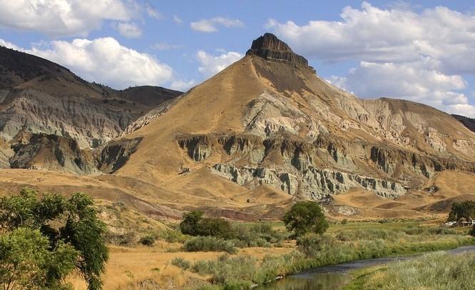
Sheep Rock, with the John Day River in the foreground
Credit: NPS Photo / Sue Anderson
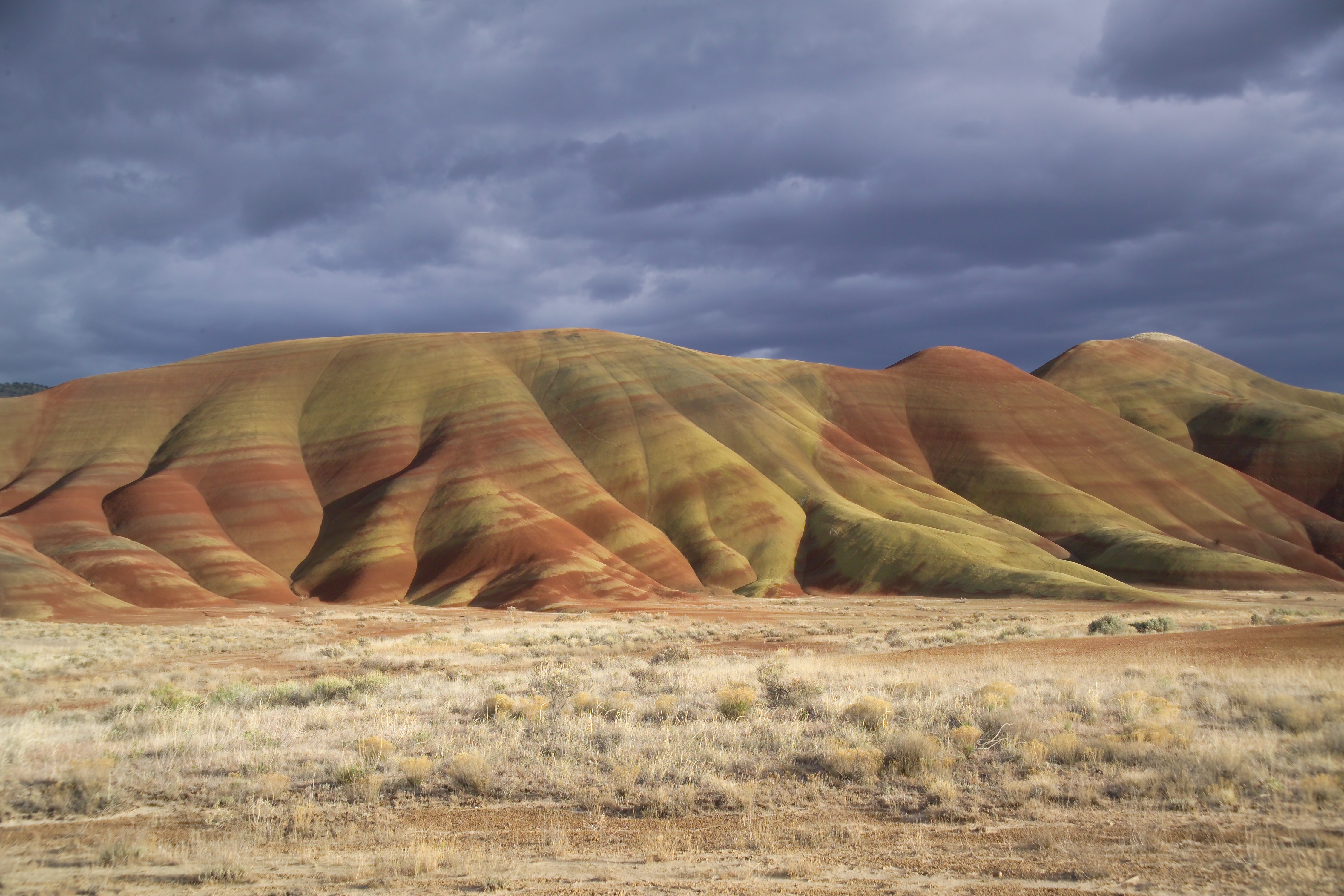
The Painted Hills on a stormy winter day.
Credit: NPS Photo / Scott Ritner
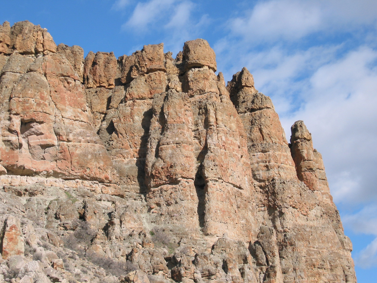
The Clarno Palisades are remains of ancient volcanic mudslides.
Credit: NPS Photo
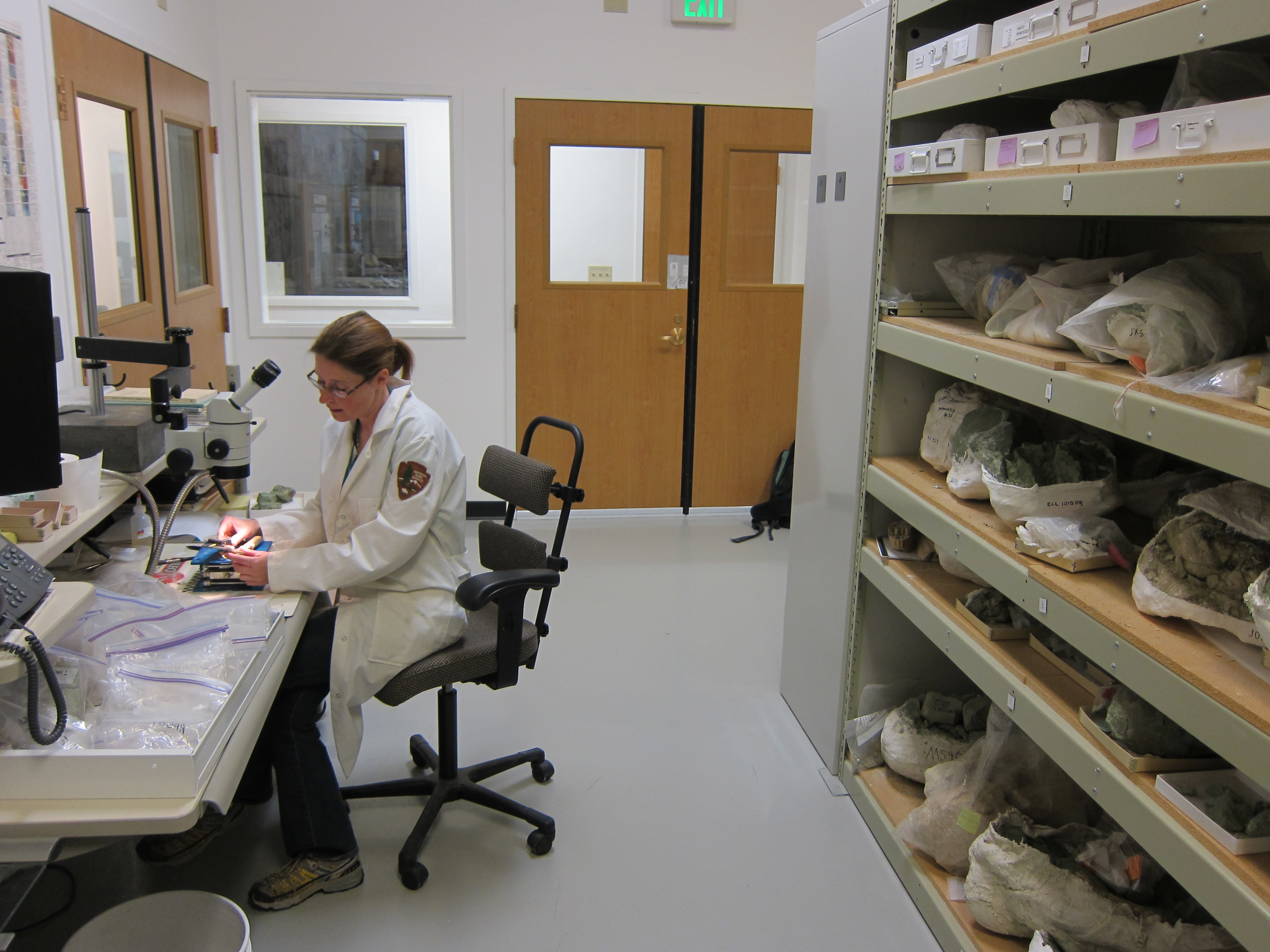
The Thomas Condon Paleontology Center is both a visitor center and research center.
Credit: NPS Photo
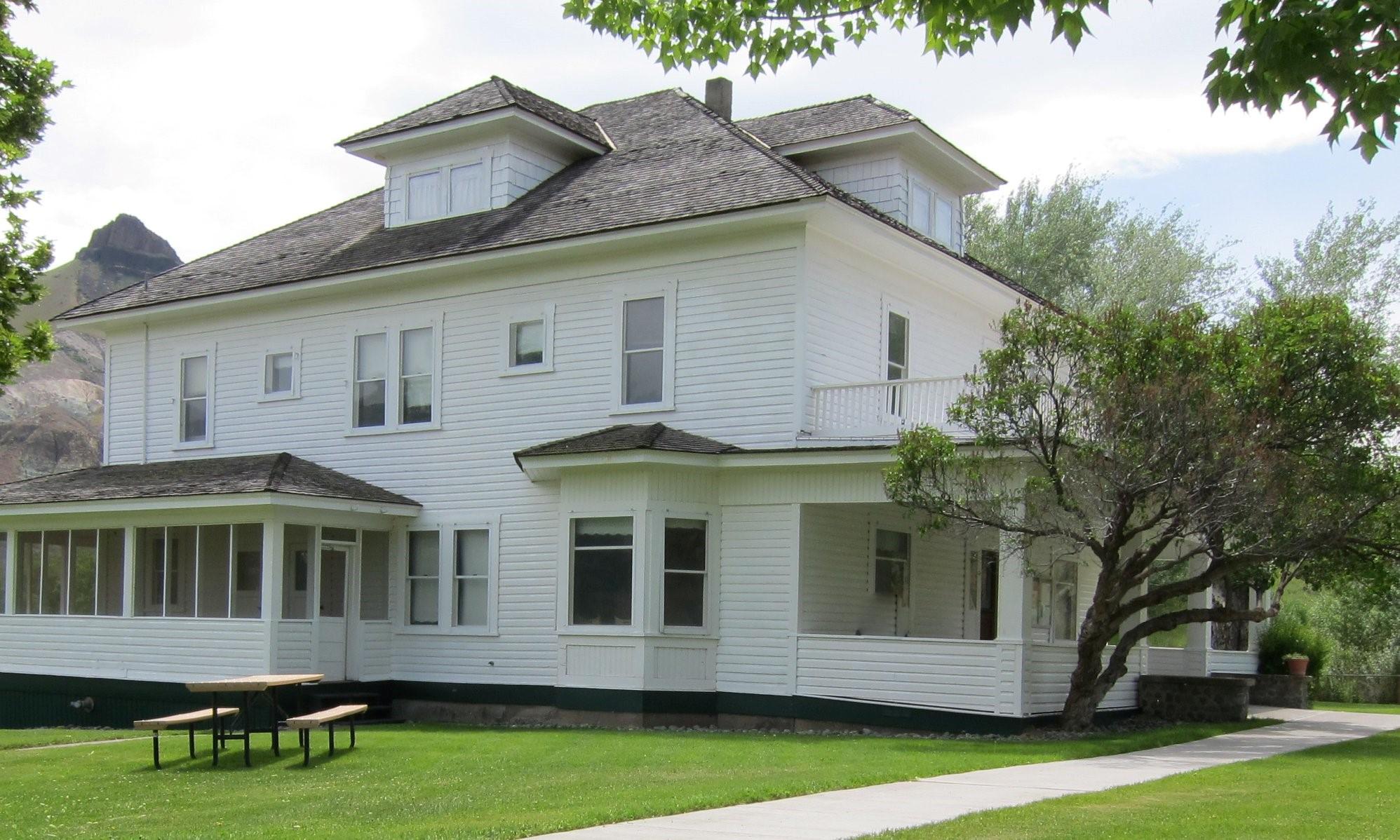
Cant Ranch house
Credit: NPS photo
Activities
Topics
Operating Hours
Entrance Fees
No entrance fees listed.
Entrance Passes
No entrance passes listed.
3-Day Weather Forecast
Tuesday, Feb 3

Sunny
High: 57.2°F | Low: 33.1°F
Humidity: 51%
Wind: 6.3 mph
Rain Chance: 0%
UV Index: 0.4
Sunrise: 07:16 AM
Sunset: 05:12 PM
Moon: Waning Gibbous (99%)
Visibility: 6 mi
Dew Point: 33.5°F
Cloud Cover: 0%
Pressure: N/A mb
Air Quality (PM2.5): N/A
Ozone: N/A
EPA Index: N/A
Wednesday, Feb 4
Sunny
High: 59.5°F | Low: 39.6°F
Humidity: 48%
Wind: 6.3 mph
Rain Chance: 0%
UV Index: 0.4
Sunrise: 07:15 AM
Sunset: 05:14 PM
Moon: Waning Gibbous (95%)
Visibility: 6 mi
Dew Point: 36.1°F
Cloud Cover: 0%
Pressure: N/A mb
Air Quality (PM2.5): N/A
Ozone: N/A
EPA Index: N/A
Thursday, Feb 5
Sunny
High: 57.6°F | Low: 38.5°F
Humidity: 53%
Wind: 6.3 mph
Rain Chance: 0%
UV Index: 0.4
Sunrise: 07:14 AM
Sunset: 05:15 PM
Moon: Waning Gibbous (89%)
Visibility: 6 mi
Dew Point: 36.9°F
Cloud Cover: 0%
Pressure: N/A mb
Air Quality (PM2.5): N/A
Ozone: N/A
EPA Index: N/A
Park Alerts
Visitor Center & Contacts
📍 Physical Address:
32651 Highway 19
Kimberly, OR 97848
🏤 Mailing Address:
32651 Highway 19
Kimberly, OR 97848
📞 Voice Phone: 5419872333
✉️ Email: joda_interpretation@nps.gov