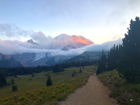
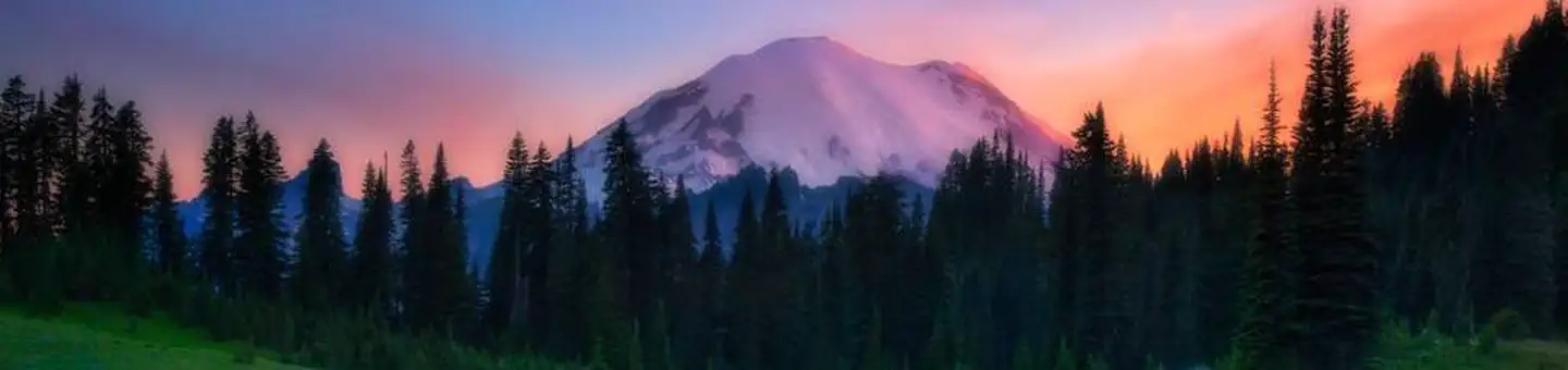
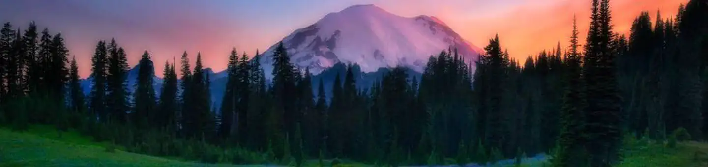
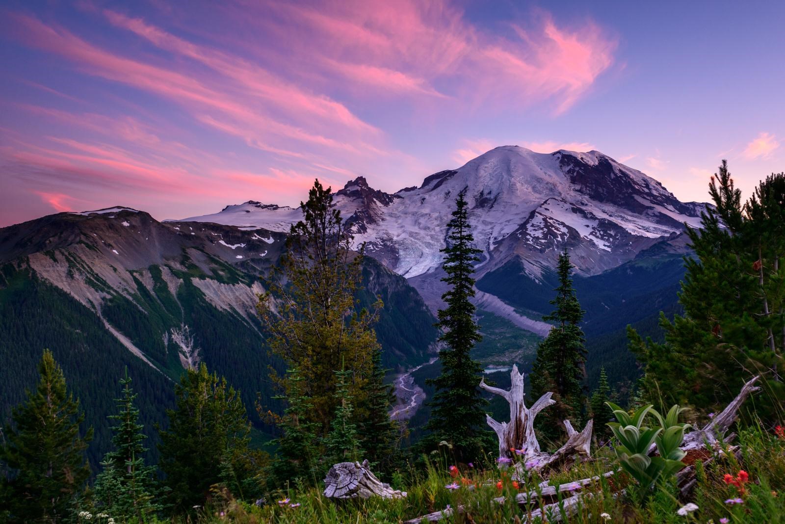
A purple and pink streaked sky over a mountain peak and forested valley. Photo: JD Hascup Photo

Mount Rainier National Park

National Park · Washington

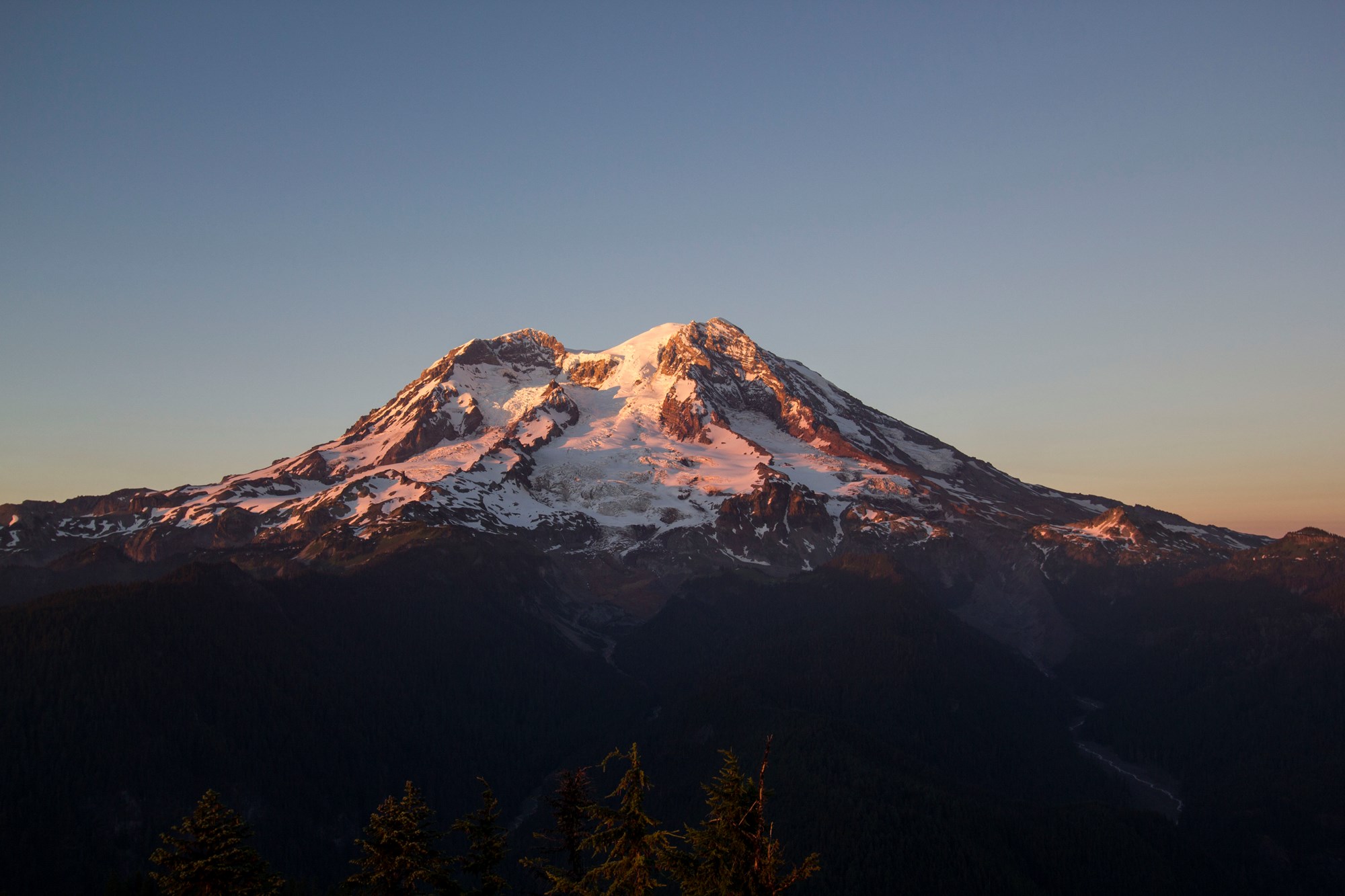
Ascending to 14,410 feet above sea level, Mount Rainier stands as an icon in the Washington landscape.

  • LocationAshford, WA
  • Entrance $30 private vehicle
  • HoursOpen 24 hours, daily
  • Weather now50°F Sunny
  • Alerts 7 active alerts

Overview

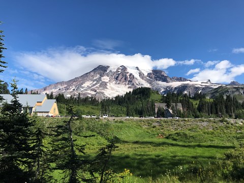
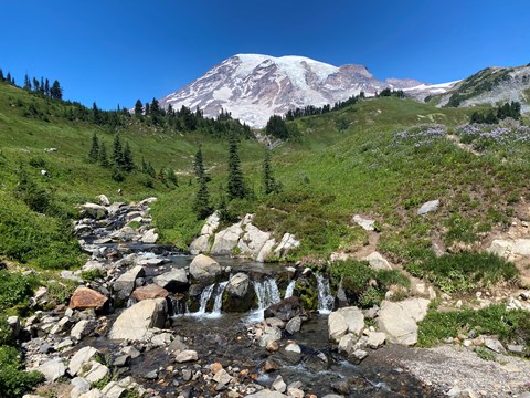
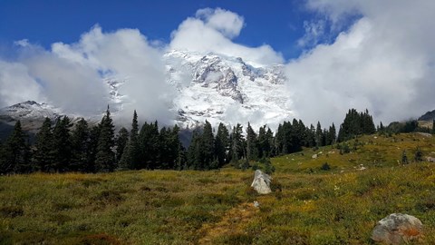
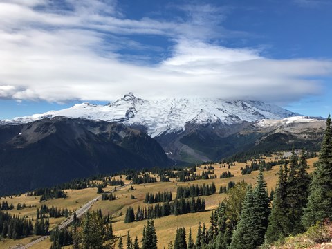
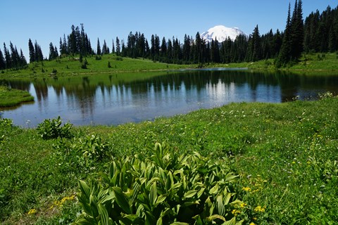
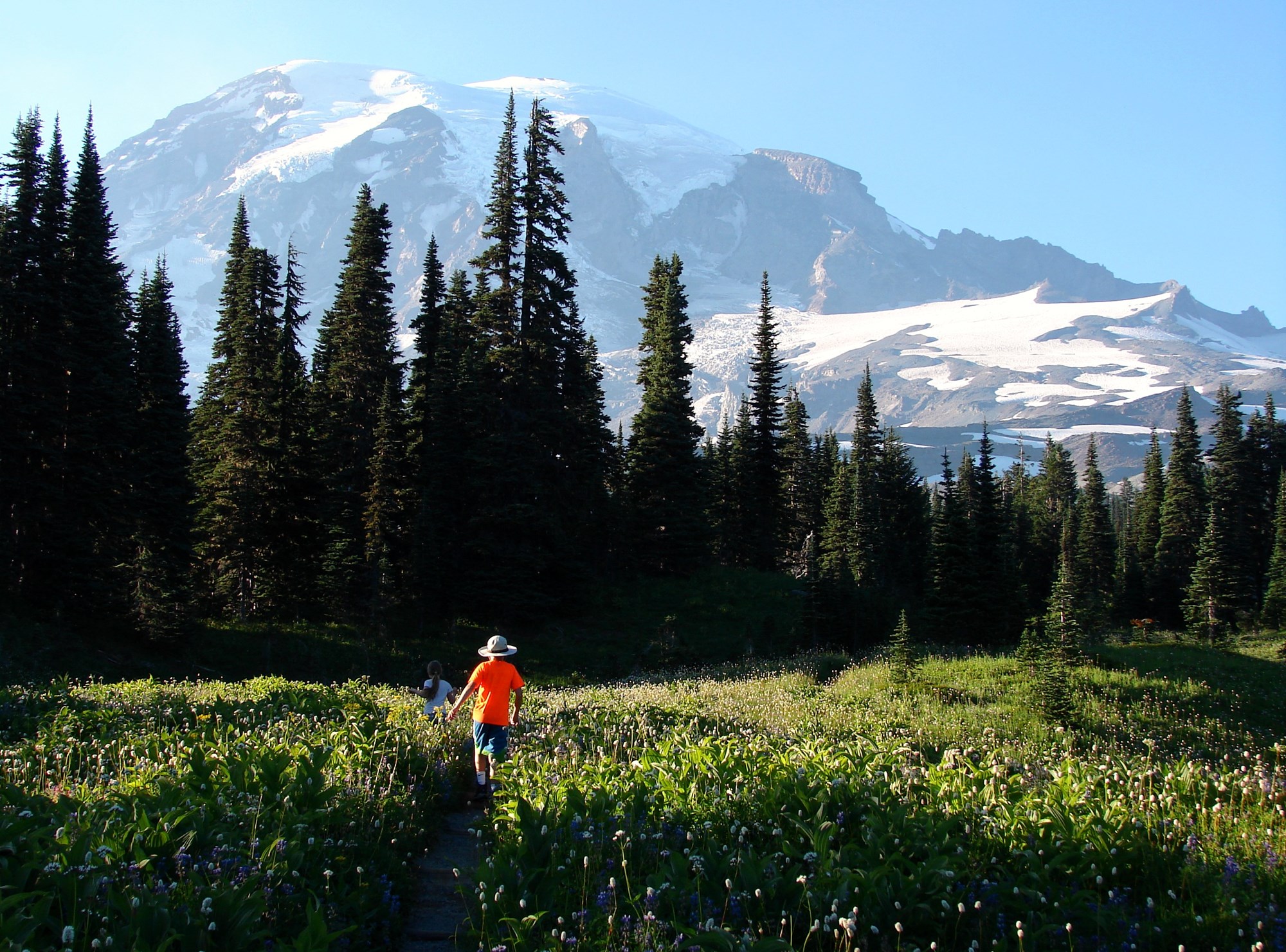
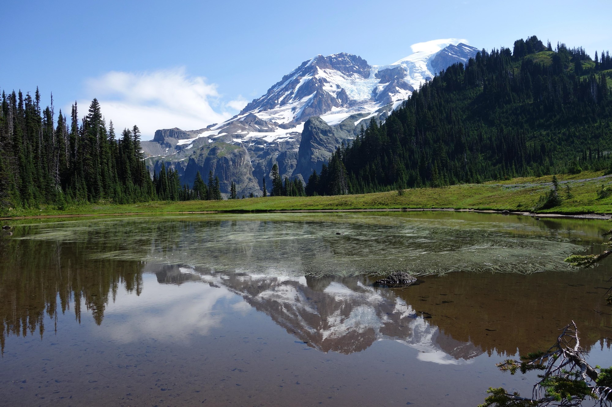
An active volcano, Mount Rainier is the most glaciated peak in the contiguous U.S.A., spawning five major rivers. Subalpine wildflower meadows ring the icy volcano while ancient forest cloaks Mount Rainier’s lower slopes.

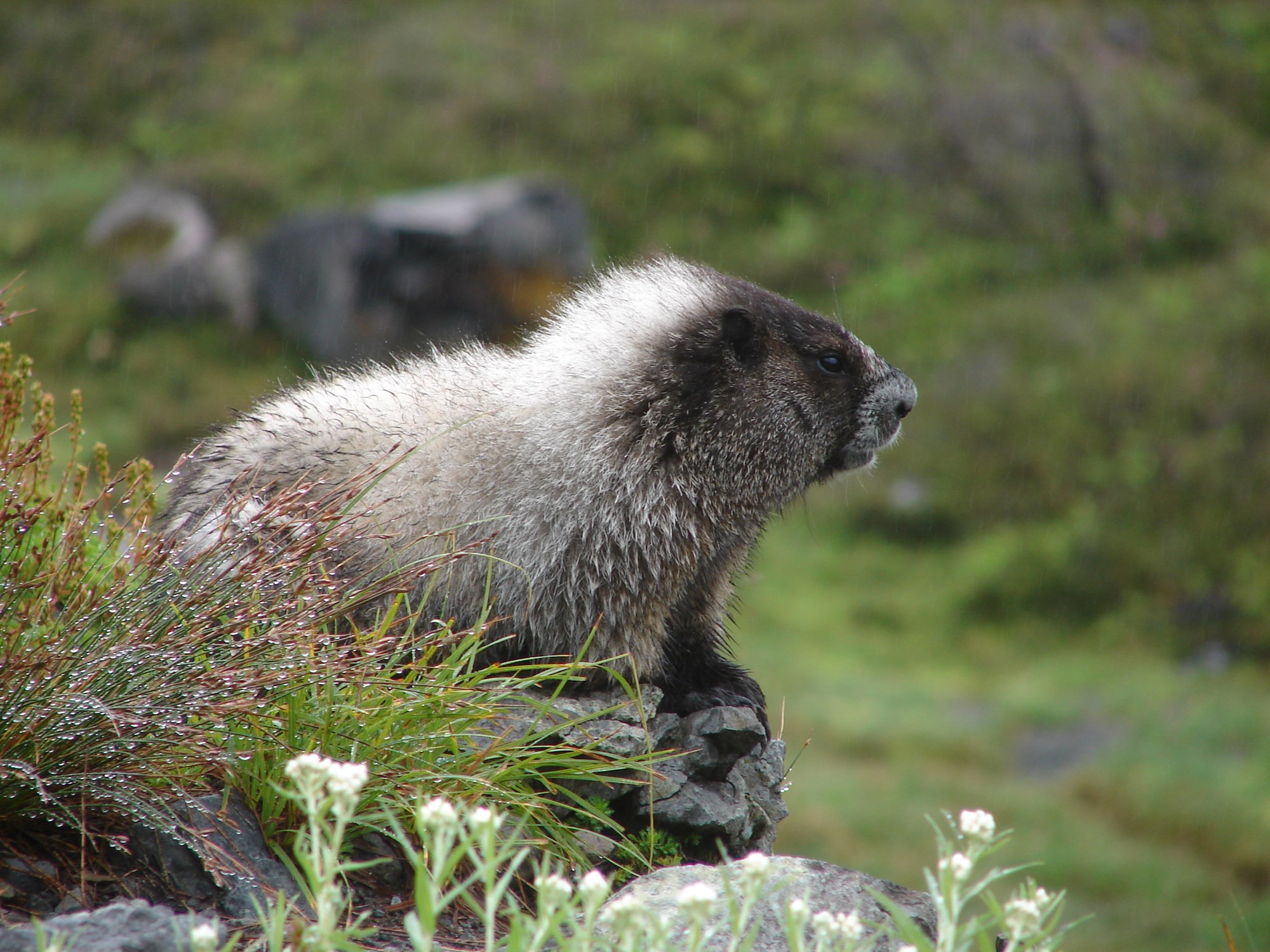
Wildlife abounds in the park’s ecosystems. A lifetime of discovery awaits.

Topics
  • Animals
  • Archeology
  • Architecture and Building
  • Arts
  • Birds
  • Bridges
  • Cats (wild)
  • Climate Change
39 more topics
  • Coniferous Forests
  • Deciduous Forests
  • Elk
  • Endangered
  • Fire
  • Fish
  • Floods
  • Forests and Woodlands
  • Geology
  • Geothermal
  • Glaciers
  • Grasslands
  • Industry
  • Lakes
  • Landscape Design
  • Logging and Timber Cutting
  • Meadows
  • Mining
  • Monuments and Memorials
  • Mountains
  • Native American Heritage
  • Natural Sounds
  • Night Sky
  • Rainforest
  • Rare
  • River and Riparian
  • Roads, Routes and Highways
  • Scenic Views
  • Schools and Education
  • Science, Technology and Innovation
  • Tragic Events
  • Trails
  • Transportation
  • Tunnels
  • Unique Species
  • Volcanoes
  • Waterfalls
  • Watersheds
  • Wilderness
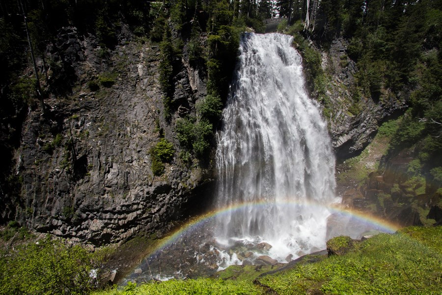
A fan-shaped waterfall cascades over lava cliffs with a rainbow in its mist.
Narada Falls is one of dozens of waterfalls created by the glacier and snow-fed creeks and rivers of Mount Rainier. — NPS Photo / E. Brouwer

Alerts (7)

Park ClosureSR 165 Carbon River/Fairfax Bridge is closed: no access to Carbon River or Mowich Lake. There is NO public access to Carbon River & Mowich Lake from SR 165. The bridge is closed to pedestrians, bicycles and v… Read more

There is NO public access to Carbon River & Mowich Lake from SR 165. The bridge is closed to pedestrians, bicycles and vehicles and there is no alternate route.

More on NPS.gov about SR 165 Carbon River/Fairfax Bridge is closed: no access to Carbon River or Mowich Lake. (opens in a new tab)
CautionBe cautious around park rivers & learn how to cross safely! Many hikers underestimate the power of moving water. Regardless of your knowledge, skills, and experience use these poin… Read more

Many hikers underestimate the power of moving water. Regardless of your knowledge, skills, and experience use these pointers in making wise decisions before attempting to cross a river.

More on NPS.gov about Be cautious around park rivers & learn how to cross safely! (opens in a new tab)
InformationOvernight closure of SR 706 on October 16; no access to Nisqually Entrance. SR706 outside of the park will be fully CLOSED overnight from 9 pm Friday 10/16 until 6 am Saturday 10/17, for road repa… Read more

SR706 outside of the park will be fully CLOSED overnight from 9 pm Friday 10/16 until 6 am Saturday 10/17, for road repairs to replace a failing culvert. The closure will be from Kernahan Road East to the Nisqually Entrance. There will be NO ACCESS to the Nisqually Entrance during the closure. To reach Paradise during the closure plan to enter the park through the Stevens Canyon Entrance via SR123 on the east side of the park.

More on NPS.gov about Overnight closure of SR 706 on October 16; no access to Nisqually Entrance. (opens in a new tab)
InformationFryingpan Creek Bridge Replacement Project: Traffic and Trail Impacts Parking is closed at the Summerland Trailhead on either side of Fryingpan Creek Bridge due to construction through 2029.… Read more

Parking is closed at the Summerland Trailhead on either side of Fryingpan Creek Bridge due to construction through 2029. Access to Summerland remains open via the Wonderland Trail with limited parking at White River Campground. Expect traffic delays of up to 30 minutes due to one-lane traffic on White River Road while it remains open for the season.

More on NPS.gov about Fryingpan Creek Bridge Replacement Project: Traffic and Trail Impacts (opens in a new tab)
InformationYour GPS May Be Wrong There are five entrances to the park. GPS may take you to the wrong entrance or attempt to follow the most direct route,… Read more

There are five entrances to the park. GPS may take you to the wrong entrance or attempt to follow the most direct route, which could lead to closed gates. It can take hours to reroute to the correct entrance. Check directions & maps, not just your GPS.

More on NPS.gov about Your GPS May Be Wrong (opens in a new tab)
InformationExpect long lines at entrances on weekends. Lengthy delays are likely at the southwest park entrance on SR706 on weekends. Check Google Maps for backup (represented… Read more

Lengthy delays are likely at the southwest park entrance on SR706 on weekends. Check Google Maps for backup (represented by the orange/red line) at link below. Please do not block driveways or roads while in line outside the park.

More on NPS.gov about Expect long lines at entrances on weekends. (opens in a new tab)
InformationOhanapecosh Campground area closed for construction in 2026. The entire Ohanapecosh Campground area is CLOSED for the duration of the construction project, including all campsites,… Read more

The entire Ohanapecosh Campground area is CLOSED for the duration of the construction project, including all campsites, visitor center, restrooms, picnic area, & Ohanapecosh river access.

More on NPS.gov about Ohanapecosh Campground area closed for construction in 2026. (opens in a new tab)

Things to Do

46 experiences from the National Park Service. Check details on NPS.gov before you go.

Showing 8 of 21

Load more
All 36 activities in the park

Pick one to find other parks that offer it.

Show 24 more activities

Camping

5 campgrounds listed on Recreation.gov. Check availability and current conditions before you go.

  • Mt Rainier

    Cougar Rock Campground

    Reservable Campground

    Cougar Rock Campground, on the southwest side of Mt. Rainier National Park, is conveniently located near Paradise. Individual campsites are reservable on this page…

    Reserve on Recreation.gov

    Longmire, WA 360-569-6626 Directions

    • Interpretive Programs
    Details

    Overview

    Cougar Rock Campground, on the southwest side of Mt. Rainier National Park, is conveniently located near Paradise. Individual campsites are reservable on this page. Group campsite reservations can be made via Cougar Rock Group Campground. 

    Paradise is the most popular destination in the park, with a lodge and visitor center, many miles of hiking trails and a commanding view of the mountain-the highest in the state and Cascade range. The main attraction at Mount Rainier National Park is the mountain itself, a massive glacier-clad volcano, peaking at 14,411 ft. and dominating the skyline for hundreds of miles. Visitors travel through majestic old-growth forests, past tumbling waterfalls and historic buildings to reach sub-alpine meadows, where world-famous wildflower displays bloom through July and August. Popular activities in the park include sight-seeing, hiking, rock climbing and camping.

    Cougar Rock campground is located at an elevation of 3,180 feet. Summers are dry and cool with daytime temperatures ranging from 60 to 80 degrees. Weather throughout the park can be variable, so visitors should come prepared.

    Recreation

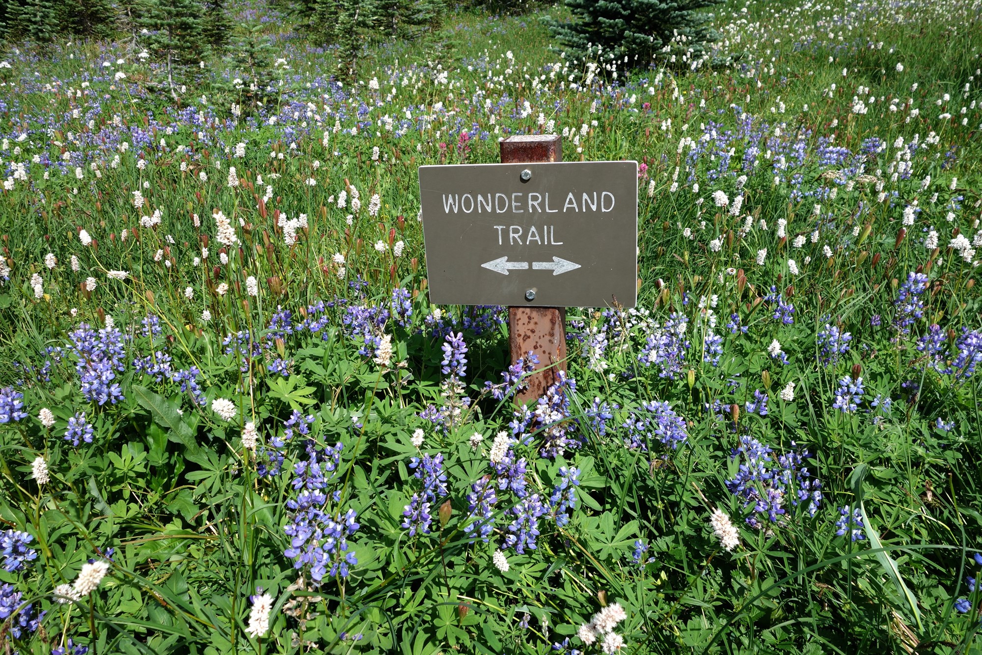
    From the facility, experienced hikers and backpackers can access the well-known, strenuous and beautiful Wonderland Trail, which encircles the park for 93 miles. For those who enjoy learning more about the park's natural and cultural history, there is an on-site amphitheater where interpretive programs are held.

    Facilities

    Cougar Rock is relatively rustic, but has drinking water, flush toilets and picnic tables at all 173 campsites. This facility is one of only two campgrounds in the park with campsites that can be reserved. Visitors must use extra caution with food storage, as foxes and other animals have been known to frequent the campground looking for food.

    Natural Features

    Cougar Rock Campground has one lookout point from which campers can view Mt. Rainier. Although it is peaceful now, the still active volcano last erupted in the mid 1800s. The campground is adjacent to the Nisqually River and is surrounded by thick forests. A short drive to Paradise in summer reveals fields of lush wildflowers.

    Nearby Attractions

    Mount Rainier National Park is about 50 miles southeast of the Seattle-Tacoma metropolitan area.

    Charges & Cancellations

    If a camper does not check-in at the ranger station by 12:00pm check-out time the day after the scheduled arrival date, their reservation will be cancelled, the camper will incur a $10.00 service fee, and forfeit the first night's camping fee. 
  • Mt Rainier

    Cougar Rock Group Campground

    Reservable Campground

    Cougar Rock Group Campground, on the southwest side of Mt. Rainier National Park, is conveniently located near Paradise. Group campsite reservations can be made on this…

    Reserve on Recreation.gov

    Longmire, WA 360-569-2211 Directions

    • Hiking
    • Picnicking
    • Day Use Area
    • Interpretive Programs
    Details

    Overview

    Cougar Rock Group Campground, on the southwest side of Mt. Rainier National Park, is conveniently located near Paradise. Group campsite reservations can be made on this page. Individual campsites are reservable via Cougar Rock Campground. 

    Paradise is the most popular destination in the park, with a lodge and visitor center, many miles of hiking trails and a commanding view of the mountain. The main attraction at Mount Rainier National Park is the mountain itself, a glacier-clad volcano of immense proportions. At 14,411 feet, it dominates the skyline for hundreds of miles. Visitors travel through majestic old-growth forest, past tumbling waterfalls and historic buildings to reach sub-alpine meadows, where world-famous wildflower displays are seen through July and August. Popular activities in the park include sight-seeing, hiking, rock climbing and camping.

    The Cougar Rock area is located at an elevation of 3,180 feet. Summers are dry and cool with daytime temperatures in the 60 to 80-degree range. Weather throughout the park can be variable, so visitors should come prepared.

    Recreation

    From the facility, experienced hikers and backpackers can access the well-known, strenuous but beautiful Wonderland Trail, which encircles the park for 93 miles. For those who enjoy learning more about the park's natural and cultural history, there is an on-site amphitheater where interpretive programs are held.

    Facilities

    The group campground has five campsites and is located within the general Cougar Rock Campground. Sites are relatively rustic, but have drinking water, flush toilets and picnic tables. All group campsites must be reserved. Visitors must use extra caution with food storage, as foxes and other animals have been known to frequent the campground looking for food.

    Natural Features

    The campground has one lookout point from which campers can view Mt. Rainier. Although it is peaceful now, the still-active volcano last erupted in the mid 1800s. The campground is adjacent to the Nisqually River and is surrounded by thick forests. A short drive to Paradise in summer reveals fields of lush wildflowers.

    Nearby Attractions

    Mount Rainier National Park is about 50 miles southeast of the Seattle-Tacoma metropolitan area.
  • Ohanapecosh River, Mt Rainier NP

    Ohanapecosh Campground

    Reservable Campground

    Ohanapecosh Campground, on the southeast side of Mount Rainier National Park, is surrounded by old growth forest and crossed by an exceptionally beautiful snow-fed…

    Reserve on Recreation.gov

    208 Ohanapecosh Road, Packwood, WA 360-569-2211 Directions

    • Hiking
    • Picnicking
    • Day Use Area
    Details

    Overview

    Ohanapecosh Campground, on the southeast side of Mount Rainier National Park, is surrounded by old growth forest and crossed by an exceptionally beautiful snow-fed river. Close to Ohanapecosh are popular hikes to Silver Falls. The Grove of the Patriarchs trail is closed to public access until the bridge accessing the Grove is replaced.

    The main attraction at Mount Rainier National Park is the mountain itself, a glacier-clad volcano of immense proportions. At 14,411 ft., it dominates the skyline for hundreds of miles. Visitors travel through majestic old-growth forests, past tumbling waterfalls and historic buildings to reach sub-alpine meadows, where world-famous wildflower displays are seen in July and August. Popular activities in the park include sight-seeing, hiking, climbing and camping.

    Ohanapecosh campground has an elevation of 1,914 feet. Weather is dry, cool and sunny in the summer with daytime temperatures in the 60 to 80-degree range. Even though the eastern side of the park can be sunnier than other areas, weather can be variable and visitors should come prepared.

    Recreation

    The most popular campground in the park, Ohanapecosh is convenient to both the Paradise and Sunrise areas. Numerous hiking trails originate both in and nearby the facility, including the several trails that lead to Silver Falls waterfall. For visitors who would like to learn more about natural and cultural history, the Ohanapecosh Visitor Center is close by as well.

    Grove of the Patriarchs - The Grove of the Patriarchs is CLOSED to all public entry due to flooding in November 2021 which caused significant damage to the suspension bridge that provides the only safe access to the area (News Release, 11/17/21). See the attached emergency regulation signed by the Deputy Superintendent. The Grove of the Patriarchs Trail will remain closed until the bridge can be replaced. During the closure, the Grove of the Patriarchs parking lot and restrooms have normal seasonal access, along with the Eastside and Silver Falls Trails. Construction to replace the bridge is scheduled to begin summer 2027. In addition to site clearing, the project will require supplies transport, bridge construction, trail reconstruction to meet the new bridge. This process is expected to take several years and construction work is limited to the summer season. Summers represent the only viable construction season in the park due to the heavy snow that blankets the park from roughly November through May.

    Facilities

    This large campground has 188 individual sites for RV or tent camping situated among the ancient trees. There is drinking water, but no electric hookups. Visitors must use extra caution with food storage, as bear and other animals inhabit the area around the campground.

    Natural Features

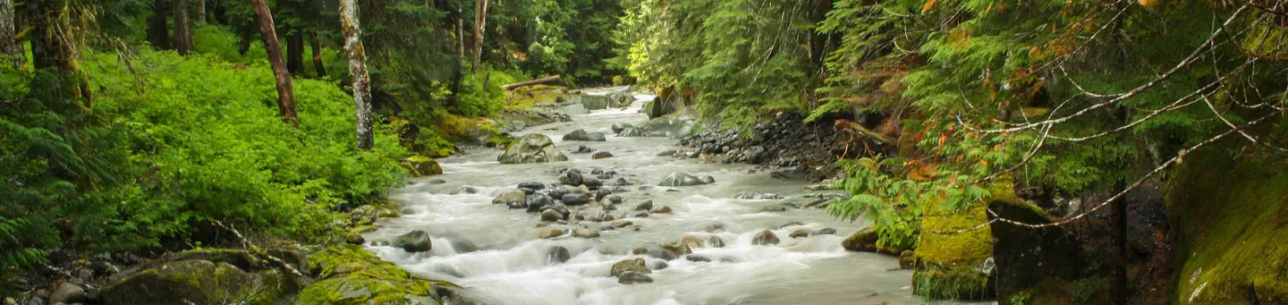
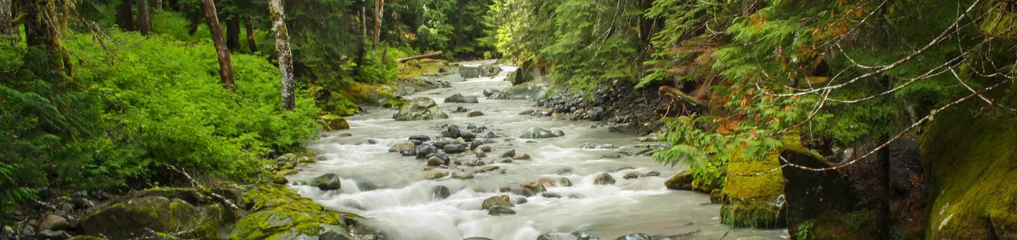
    Ohanapecosh is thought to be a Taidnapam Indian word for "standing on the edge" of the Ohanapecosh River. The river itself is lined with mossy boulders and drains cold, clear water down from higher elevations. Its banks are lined with thick, old growth Douglas fir trees and other evergreens. There is no view of Mt. Rainier directly from the campground, though the mountain dominates the landscape in nearby areas of the park.

    Charges & Cancellations

     If a camper does not check-in at the Ohanapecosh Visitor Center at the campground window by 12:00pm check-out time the day after the scheduled arrival date, their reservation will be cancelled, the camper will incur a $10.00 service fee, and forfeit the first night's camping fee. 

  • Ohanapecosh River, Mt Rainier National Park

    Ohanapecosh Group Campground

    Reservable Campground

    This facility is the group site at Ohanapecosh Campground. Ohanapecosh, on the southeast side of Mount Rainier National Park, is surrounded by old growth forest and…

    Reserve on Recreation.gov

    208 Ohanapecosh Road, Packwood, WA 360-569-2211 Directions

    • Hiking
    • Picnicking
    • Day Use Area
    Details

    Overview

    This facility is the group site at Ohanapecosh Campground. Ohanapecosh, on the southeast side of Mount Rainier National Park, is surrounded by old growth forest and crossed by an exceptionally beautiful snow-fed river. Close to Ohanapecosh are popular hikes to Silver Falls. The Grove of the Patriarchs trail is closed to public access until the bridge accessing the Grove is replaced.

    The main attraction at Mount Rainier National Park is the mountain itself, a glacier-clad volcano of immense proportions. At 14,411 ft., it dominates the skyline for hundreds of miles. Visitors travel through majestic old-growth forests, past tumbling waterfalls and historic buildings to reach sub-alpine meadows, where world-famous wildflower displays are seen in July and August. Popular activities in the park include sight-seeing, hiking, climbing and camping.

    Ohanapecosh campground has an elevation of 1,914 feet. Weather is dry, cool and sunny in the summer with daytime temperatures in the 60 to 80-degree range. Even though the eastern side of the park can be sunnier than other areas, weather can be variable and visitors should come prepared.

    Recreation

    The most popular campground in the park, Ohanapecosh is convenient to both the Paradise and Sunrise areas. Numerous hiking trails originate both in and nearby the facility, including the several trails that lead to Silver Falls waterfall. For visitors who would like to learn more about natural and cultural history, the Ohanapecosh Visitor Center is close by as well.

    Grove of the Patriarchs - The Grove of the Patriarchs is CLOSED to all public entry due to flooding in November 2021 which caused significant damage to the suspension bridge that provides the only safe access to the area (News Release, 11/17/21). See the attached emergency regulation signed by the Deputy Superintendent. The Grove of the Patriarchs Trail will remain closed until the bridge can be replaced. During the closure, the Grove of the Patriarchs parking lot and restrooms have normal seasonal access, along with the Eastside and Silver Falls Trails. Construction to replace the bridge is scheduled to begin summer 2027. In addition to site clearing, the project will require supplies transport, bridge construction, trail reconstruction to meet the new bridge. This process is expected to take several years and construction work is limited to the summer season. Summers represent the only viable construction season in the park due to the heavy snow that blankets the park from roughly November through May.

    Facilities

    There are two group sites. Both have tent-only camping, and each can fit up to 25 people. Drinking water is provided. Visitors must use extra caution with food storage, as bear and other animals inhabit the area around the campground.

    Natural Features

    Ohanapecosh is thought to be a Taidnapam Indian word for "standing on the edge" of the Ohanapecosh River. The river itself is lined with mossy boulders and drains cold, clear water from higher elevations. Its banks are lined with thick, old growth Douglas fir trees and other evergreens. There is no direct view of Mt. Rainier from the campground, but the mountain dominates the landscape in nearby areas of the park.
Show 1 more campground
  • A Panoramic View of the White River Valley High Above the Campground with Mount Rainier in the Distance

    White River Campground

    Reservable Campground

    White River Campground is available on a first come first serve basis only. The campground sits at 4,440 ft in elevation, 1200 ft higher than any other campground with…

    Reserve on Recreation.gov

    Directions

    • Picnicking
    • Berry Picking
    • Birding
    • Day Use Area
    Details

    Fees: To prevent theft we are now a cashless park. Use the Recreation.gov Mobile App to pay the nightly camping fee when you arrive at the campground site. Prior to arriving at the campground download the Recreation.gov App to your mobile device…

    Overview

    White River Campground is available on a first come first serve basis only. 

    The campground sits at 4,440 ft in elevation, 1200 ft higher than any other campground with amenities in Mount Rainier National Park. For this reason, winter lingers long and comes early. White River often opens at the end of June or early July and stays open in late September. The campground has are 88 campsites that cost $20 a night.

    There is a 27 ft RV limit and an 18ft trailer limit.

    Use the Recreation.gov Mobile App to pay the nightly camping fee when you arrive at the campground. Prior to arriving at the campground download the Recreation.gov App to your mobile device and create a Recreation.gov account.

    Recreation

    There are plenty of hiking opporunities as well as rich ecological sytems that will interest amateur botanists and mycologists.

    Facilities

    White River Campground has flush toilets, fire grates in the campsites and access to potable water. There is no dump station, laundry, Wi-Fi or cellphone service at this time. The maximum size for an RV is 27 feet and 18 ft for a tralier.

    Natural Features

    This high elevation campground is located near the White River and in a lovely forest. Trails crisscross the campground, including the Wonderland, Burrough Mountain and Glacier Basin Camp Trails.

    Nearby Attractions

    Trails: Glacier Basin, Burroughs Mountain, the Wonderland and the River Trail. 

    The White River

    Ten miles to Sunrise

    Five miles from Highway 410

    Four miles to the a Ranger Station

    Charges & Cancellations

    Currently White River is a first-come, first-served campgrounds so there are no cancellations.

Facilities & Services

Find timed-entry reservations, permits, visitor centers and other services available in the park. Check current hours and availability before you go.

Timed Entry & Reservations

  • Mount Rainier National Park Timed Entry Reservations

    Timed Entry

    Ascending to 14,410 feet above sea level, Mount Rainier stands as an icon in the Washington landscape. An active volcano, Mount Rainier is the most glaciated peak in the…

    Details
    Ascending to 14,410 feet above sea level, Mount Rainier stands as an icon in the Washington landscape. An active volcano, Mount Rainier is the most glaciated peak in the contiguous U.S.A., spawning five major rivers. Subalpine wildflower meadows ring the icy volcano while ancient forest cloaks Mount Rainier’s lower slopes. Wildlife abounds in the park’s ecosystems. A lifetime of discovery awaits.

Permits & Passes

Visitor Centers

  • Longmire Administration Building in Summer

    Longmire Wilderness Information Center

    Visitor Center

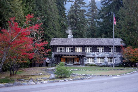
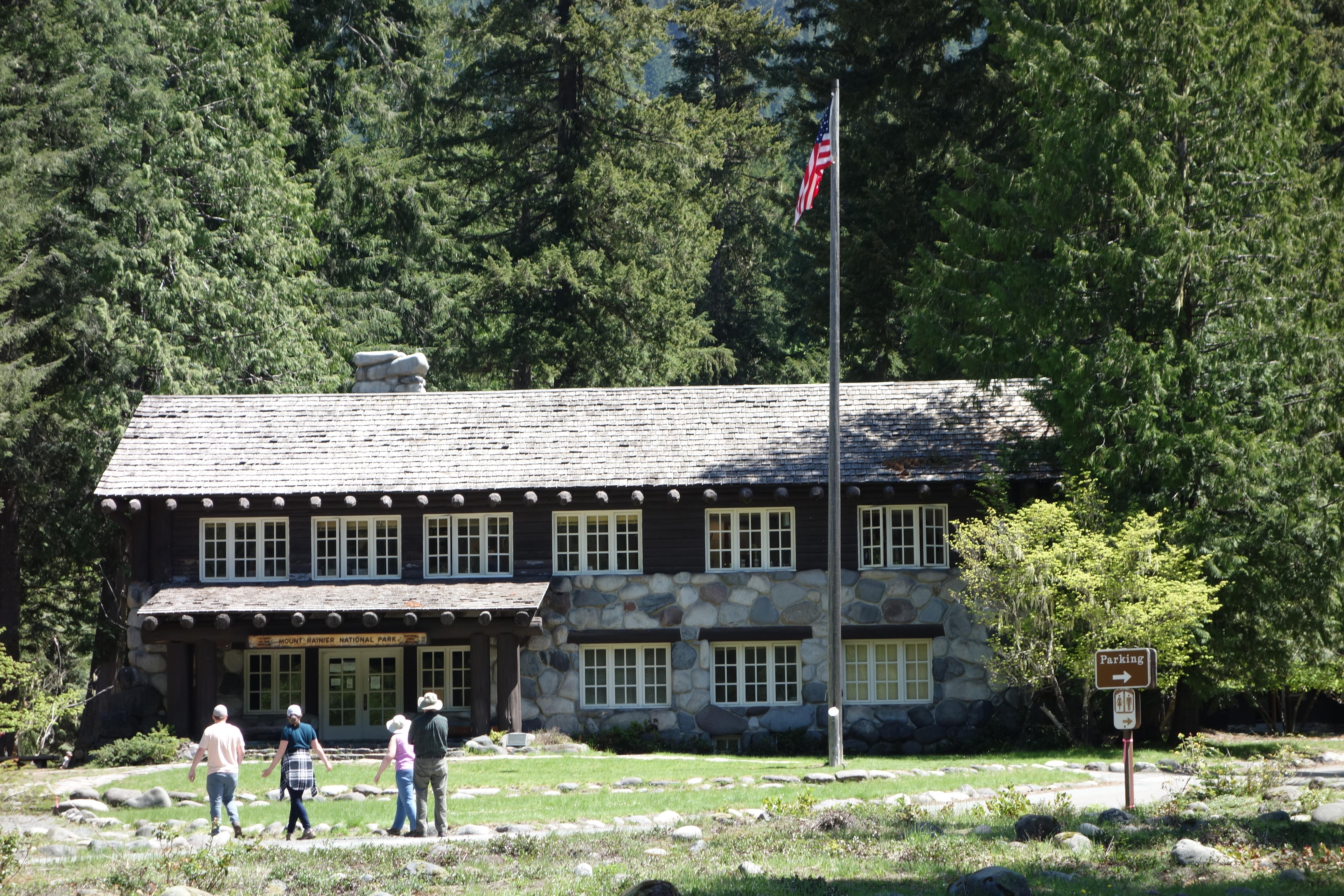
    Open during the summer, the Longmire Wilderness Information Center (WIC) is located in the lobby of the historic Longmire Administration Building, a picturesque example…

    Details
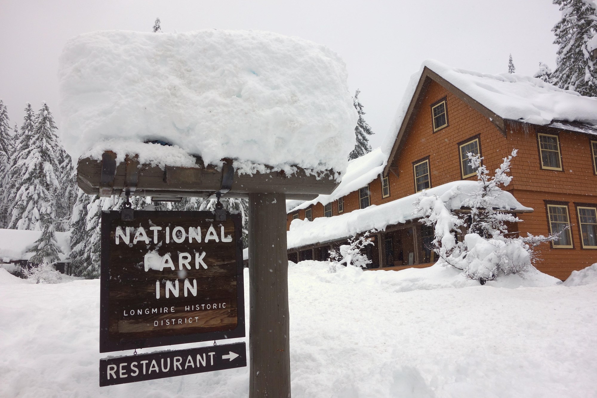
    Open during the summer, the Longmire Wilderness Information Center (WIC) is located in the lobby of the historic Longmire Administration Building, a picturesque example of National Park Service rustic architecture in Longmire. The WIC features a 3D model map of Mount Rainier National Park and has an information desk staffed by wilderness rangers. Rangers at the WIC assist with wilderness permits, trip planning, and providing maps and trail condition updates.
  • Paradise Wilderness Information Center

    Paradise Wilderness Information Center

    Visitor Center

    Open during the summer, the Paradise Wilderness Information Center (WIC) is located in the main room of the historic Guide House. The WIC has an information desk staffed…

    Details
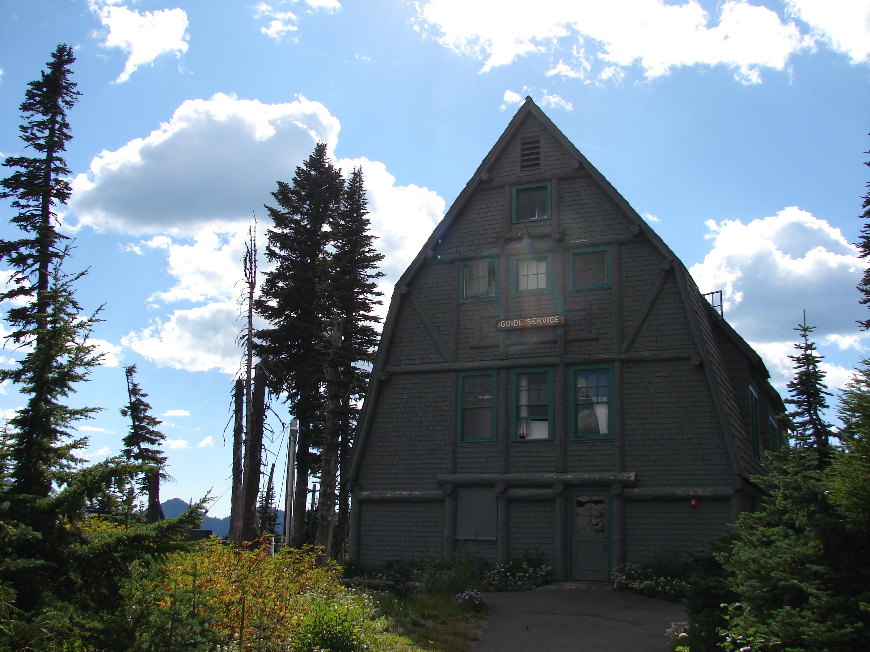
    Open during the summer, the Paradise Wilderness Information Center (WIC) is located in the main room of the historic Guide House. The WIC has an information desk staffed by wilderness rangers. Rangers at the WIC assist with wilderness permits, trip planning, and providing maps and trail condition updates.

Other Visitor Services

  • Carbon River Ranger Station

    Carbon River Ranger Station

    Facility

    Located in the northwest corner of the park, the ranger station is staffed by rangers or volunteers. Building hours may vary so call ahead for hours 360-829-9639. When…

    Details
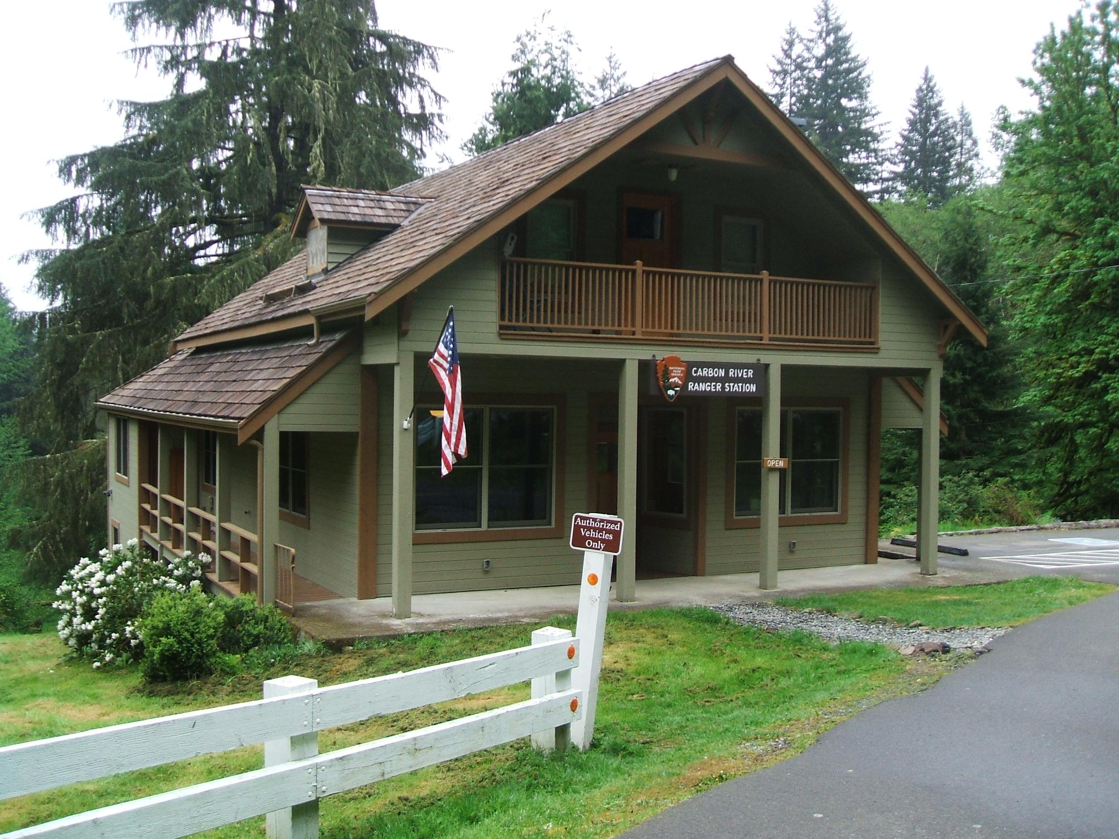
    Located in the northwest corner of the park, the ranger station is staffed by rangers or volunteers. Building hours may vary so call ahead for hours 360-829-9639. When open, rangers and volunteers provide park information, wilderness camping, and climbing permits. Wilderness camping permits available by self-registration when closed.
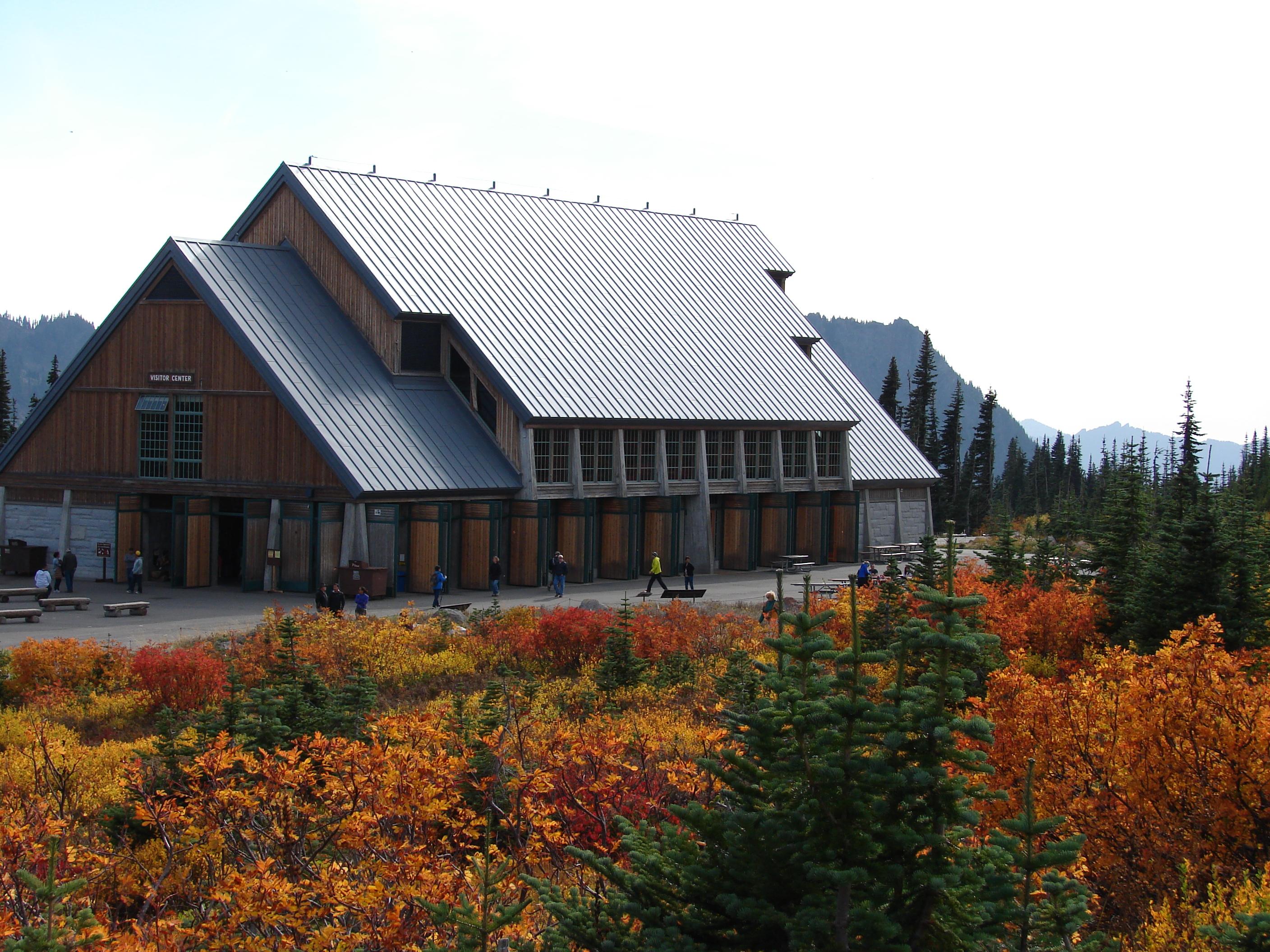
  • Fall Foliage Surrounds the Henry M Jackson Memorial Visitor Center

    Henry M Jackson Memorial Visitor Center

    Facility

    Located at Paradise, on the south side of Mount Rainier, the Jackson Visitor Center is open throughout the summer and with limited days and hours in the winter. Inside…

    Details
    Located at Paradise, on the south side of Mount Rainier, the Jackson Visitor Center is open throughout the summer and with limited days and hours in the winter. Inside the visitor center are accessible restrooms, an information desk staffed by a ranger or volunteer, food services, gift shop, park movie, and exhibits about the plants, animals, and the volcano.
Show 4 more facilities

Visitor Centers

  • White River Ranger Station & Wilderness Information Center

    White River Wilderness Information Center

    Visitor Center

    Open during the summer, the White River Wilderness Information Center (WIC) located at the Winter River Entrance. The WIC has an information desk staffed by wilderness…

    Details
    Open during the summer, the White River Wilderness Information Center (WIC) located at the Winter River Entrance. The WIC has an information desk staffed by wilderness rangers. Rangers at the WIC assist with wilderness permits, trip planning, and providing maps and trail condition updates.

Other Visitor Services

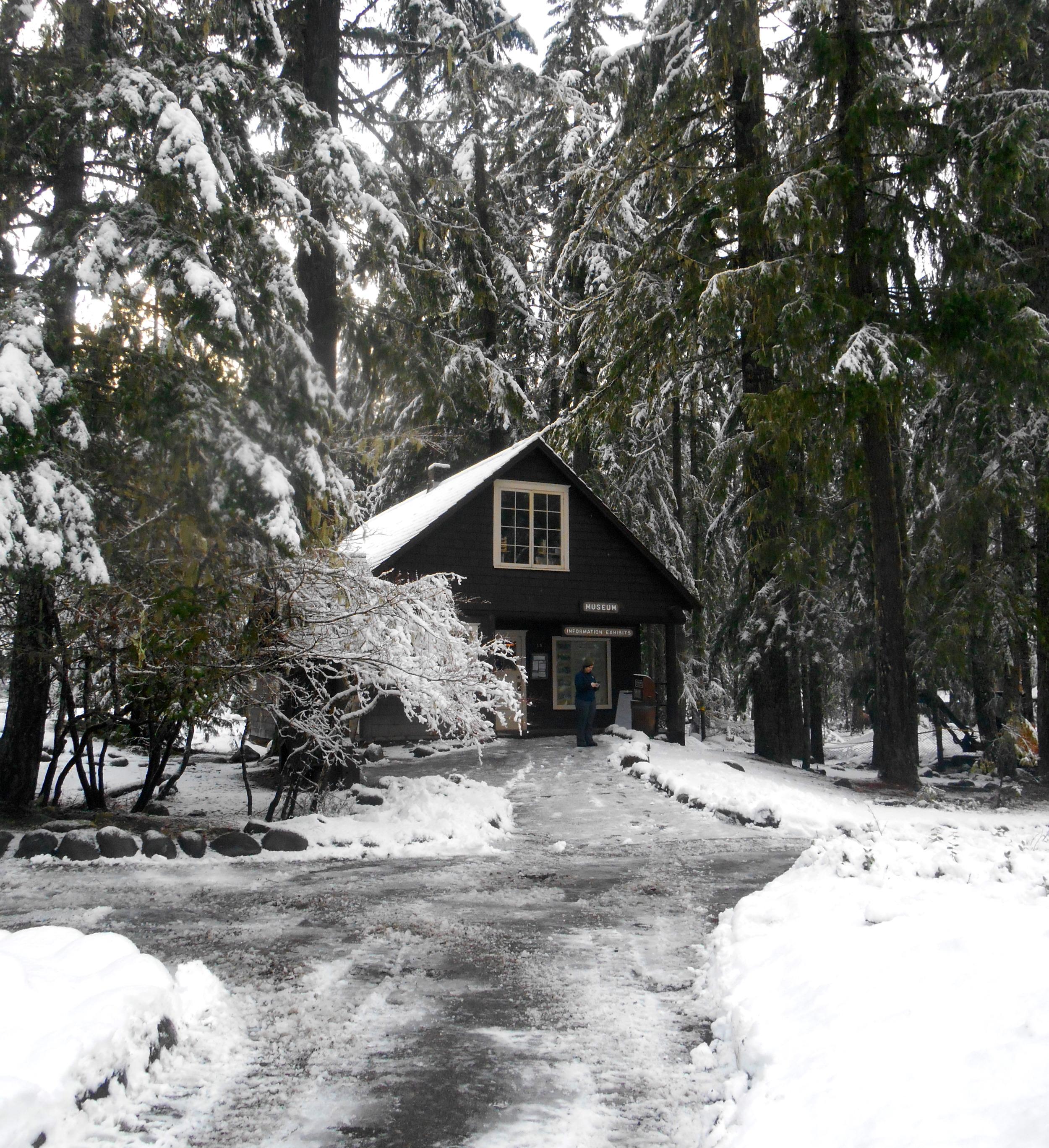
  • Longmire Museum in Winter

    Longmire Museum

    Facility

    Located on the south side of Mount Rainier at 2,700 feet above sea level, the museum makes up part of the historic Longmire district. Once a ranger office, the building…

    Details
    Located on the south side of Mount Rainier at 2,700 feet above sea level, the museum makes up part of the historic Longmire district. Once a ranger office, the building now houses historic exhibits about the park's natural and geological history, and animals. A ranger or volunteer staffs the museum to assist with park information and book and map sales.
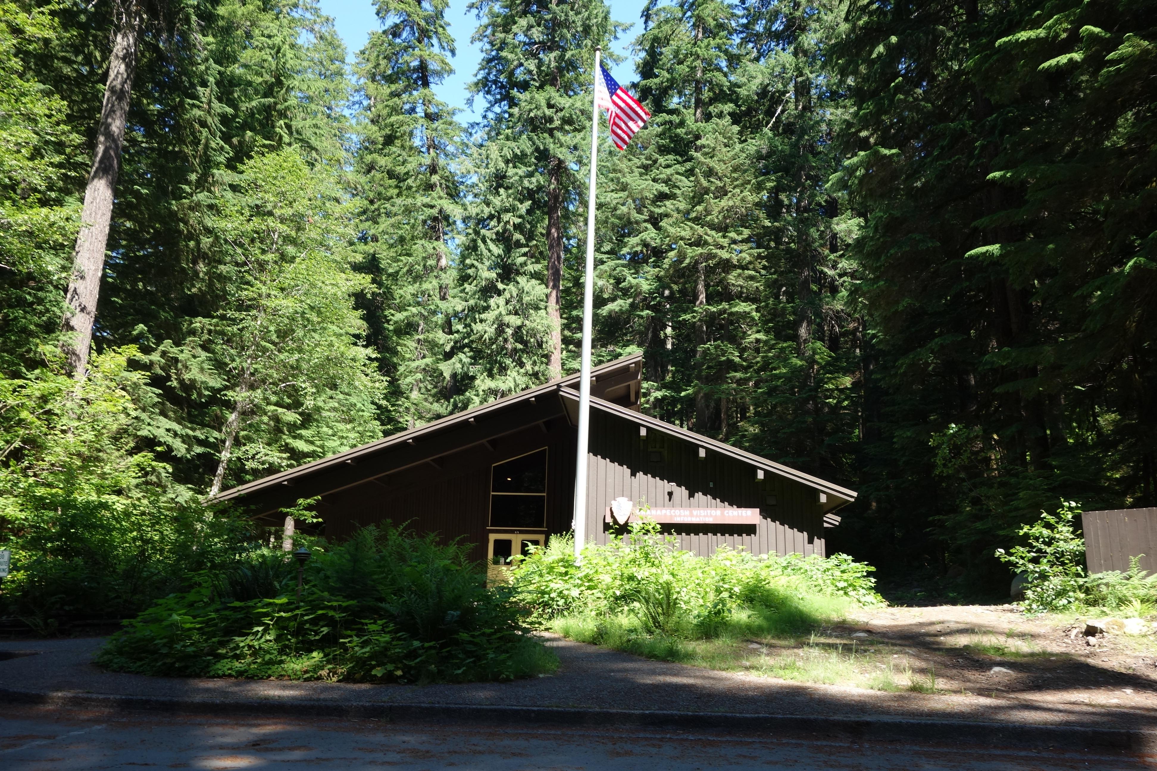
  • Ohanapecosh Visitor Center

    Ohanapecosh Visitor Center

    Facility

    NOTE: The Ohanapecosh Visitor Center is CLOSED for the summer of 2026 as part of the Ohanapecosh Campground rehabilitation project. This visitor center is located in the…

    Details
    NOTE: The Ohanapecosh Visitor Center is CLOSED for the summer of 2026 as part of the Ohanapecosh Campground rehabilitation project. This visitor center is located in the southeast corner of the park on State Route 123, 12 miles north of the town of Packwood. It is next to the Ohanapecosh Campground and near the trailhead for the natural Hot Springs and Silver Falls Trails. There are restrooms, exhibits, and a ranger or volunteer on duty to answer questions when it is open for the summer season.
  • Sunrise Visitor Center

    Sunrise Visitor Center

    Facility

    Located on the northeast flank of Mount Rainier, this visitor center is at the end of the Sunrise Road, 15 miles after the turn off from State Route 410. Only open and…

    Details
    Located on the northeast flank of Mount Rainier, this visitor center is at the end of the Sunrise Road, 15 miles after the turn off from State Route 410. Only open and accessible in summer, the Sunrise Visitor Center has exhibits, books and maps for sale, and rangers and volunteers on duty to answer questions. Restrooms, gift shop, and food services are located nearby during the summer season.

Plan Your Visit

Hours

Open 24 hours, daily · Mount Rainier National Park

Hours by area (8)
  • Mount Rainier National ParkOpen 24 hours, daily

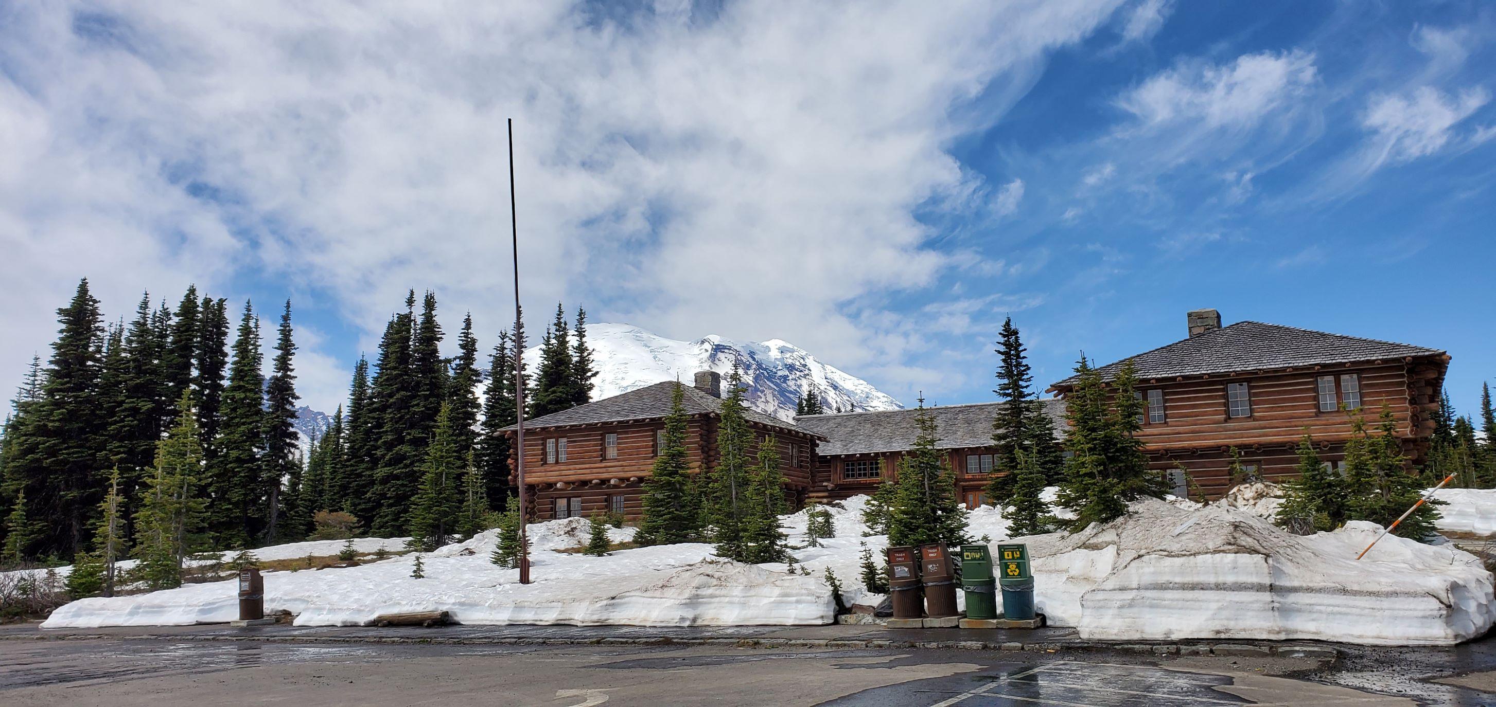
    Mount Rainier National Park is open all year. Visitation peaks in July and August with warmer weather and blooming wildflowers. In spring and autumn, weather determines the availability of facilities and roads. During winter months a number of roads, facilities, and entrances close for the season.

  • NisquallyOpen 24 hours, daily

    Located in the southwest corner of the park via SR 706, the Nisqually Entrance provides year-round access to the park. NOTE: To reach the Nisqually entrance using GPS use the address 39000 State Route 706 E, Ashford, WA 98304. Fee station. If entering the park outside of daylight hours, purchase an online pass at Recreation.gov in advance, or at the next available staffed entrance.

  • Carbon RiverOpen 24 hours, daily

    Carbon River Entrance in the northwest corner of the park is open year-round via SR165 through Wilkeson. Vehicle access is permitted only to the park entrance. Beyond that point the Carbon River Road is open to pedestrians and bicyclists. Pay entrance fees at Carbon River Ranger Station a few miles before park boundary or use payment envelopes after hours.

  • White RiverOpen 24 hours, daily

    Sunrise, White River, and southbound SR 123 are accessed via SR 410 from Enumclaw through the White River Entrance, open from late June to mid October. Fee station located on turn-off from SR 410 on the road to Sunrise. Hours may vary. Fee envelopes available for after hours.

  • Chinook PassOpen 24 hours, daily

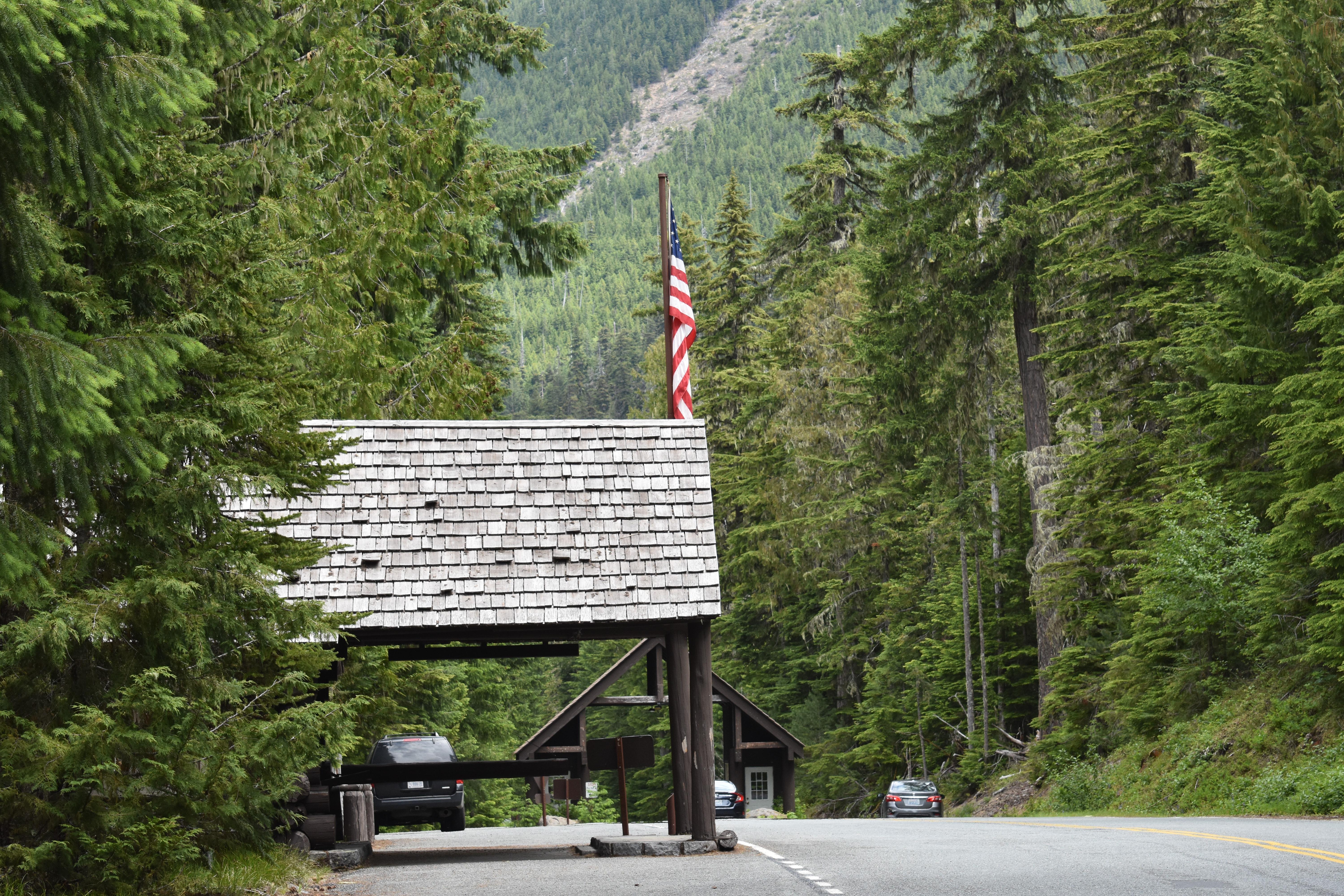
    In summer, travelers coming from east of the Cascades can enter the park using Chinook Pass (SR410), passing under the Chinook Entrance Arch walking bridge. Entrance open June to mid-November, 24 hours a day. No fee station; purchase pass at the next available staffed entrance.

  • Stevens CanyonOpen 24 hours, daily

    Branching off of SR123 just north of Ohanapecosh, Stevens Canyon Entrance provides access to Stevens Canyon Road, Paradise, and the west side of the park. Open late May to mid September. Fee station with fee envelopes available after hours.

  • SR123/OhanapecoshOpen 24 hours, daily

    Located along SR 123 via Hwy 12 from Yakima or Packwood, this park entrance is open 24 hours a day from late May to early November. This is the closest entrance to the Ohanapecosh area. No fee station; purchase pass at the next available staffed entrance.

  • SR 410/North EntranceOpen 24 hours, daily

    In summer, travelers coming from the north can enter the park using SR410, which connects to SR123 and turns east at Cayuse Pass. Entrance open late May to early November, 24 hours a day. No fee station; purchase pass at the next available staffed entrance.

Entrance fees

  • $30Private Vehicle
  • $25Motorcycle
  • $15Per Person
All 5 fees & details
  • Private Vehicle$30

    Grants unlimited entry for one vehicle and passengers for seven consecutive days. Vehicle must be private, noncommercial, and with a seating capacity of 15 or less.

  • Per Person$15

    Walk-up or single bicycle fee. Grants unlimited entry for seven consecutive days.

  • Motorcycle$25

    Valid for 7 days. Admits up to 2 private, non-commercial motorcycles with up to 4 total passengers.

  • Commercial Entrance - Mini-bus$100

    These fees are charged only to commercial organizations, such as tour companies. This fee is determined by the seating capacity of the vehicle.

  • Commercial Entrance - Motor Coach$200

    These fees are charged only to commercial organizations, such as tour companies. This fee is determined by the seating capacity of the vehicle. NOTE: There are no current road restrictions for unmodified motor coaches of the standard length in the park. However, be aware that roads in the park are steep, narrow, and winding. In particular, it is recommended that RVs and vehicles with trailers longer than 25 feet LOA not travel up the Sunrise Road beyond the White River Campground intersection.

Passes

  • $55Annual Entrance - Park
Pass details
  • Annual Entrance - Park

    Grants unlimited entry for one year to pass owner and passengers in a single, private, non-commercial vehicle. This pass does not cover camping fees and is non-transferable and non-refundable. If you already own a valid annual or lifetime pass (Interagency Senior, Annual, Military, etc) you do not need to purchase this pass. NOTE: The Discover Pass is for Washington State Parks only and does not cover Mount Rainier National Park.

Address

55210 238th Avenue East
Ashford, WA 98304

Contact the park

Weather & conditions

50°F
Sunny · feels like 45°
  • Today 54° 26°
    Sunny
    5% rain
  • Tomorrow 55° 28°
    Overcast
    11% rain
  • Wednesday 56° 35°
    Patchy rain nearby
    39% rain

Updated 3 hr ago

What to expect by season

Weather patterns at Mount Rainier are strongly influenced by the Pacific Ocean and elevation. The climate is generally cool and rainy, with summer highs in the 60s and 70s. While July and August are the sunniest months of the year, rain is very likely in spring, fall, and winter. Visitors should be aware that mountain weather is very changeable. In the higher elevations, like Paradise, winter can last from November to May with many feet of snow on the ground.

Upcoming Events

3 coming up
  • Paradise - Ranger Talk

    Oct 12, 2026 · 11:00 AM–11:15 AM Meet in the plaza by the Jackson Visitor Center at Paradise. Free

  • Fee Free Day - Theodore Roosevelt's Birthday

    Oct 27, 2026 · 12:00 AM–11:45 PM Free

  • Fee Free Day - Veterans Day

    Nov 11, 2026 · 12:00 AM–11:45 PM Free

Photos

1 more photo

Getting There

55210 238th Avenue East
Ashford, WA 98304

Mount Rainier National Park is located in west-central Washington state. Several major cities in Washington- Seattle, Tacoma, and Yakima- and Portland, Oregon, are within 200 miles of the park.

Full directions

For GPS to Nisqually Entrance use: 39000 State Route 706 E, Ashford, WA 98304.

Mailing address: 55210 238th Avenue East, Ashford, WA 98304

Map loads when you scroll here