Sand Creek Massacre National Historic Site
Designation: National Historic Site
Location: Colorado
📘 Park Overview
On November 29th, 1864, Chiefs Black Kettle, White Antelope, Left Hand and others were encamped with around 750 Arapaho and Cheyenne people in a valley by the Big Sandy Creek. A hope for peace, brought forth by Black Kettle was in the balance. It was a tragic day where the blood of the Cheyenne and Arapaho was shed, and a painful memory for generations of Native Americans was made.
🌤 Weather Information
Weather conditions at the park vary considerably. Temperatures range from over 100°F in summer to under 20°F in winter. Visitors can expect blowing dust and sand year-round, especially during infrequent storms. Some of these storms produce violent tornadoes or large blizzards, so prepare accordingly, and contact the on-duty Ranger to ask about road conditions at (719)-438-5916
🚗 Directions
The Sand Creek Massacre is located in Kiowa County, Colorado. To visit the site, follow Colorado State Highway 96 east off Highway 287 near Eads, or west off Highway 385 at Sheridan Lake. Near Chivington, turn north onto County Road 54/Chief White Antelope Way or at Brandon, turn north onto County Road 59. Follow these roads to their intersections with County Road W. The park entrance is along CR W a mile east (right) of CR 54 or several miles west (left) of CR 59.
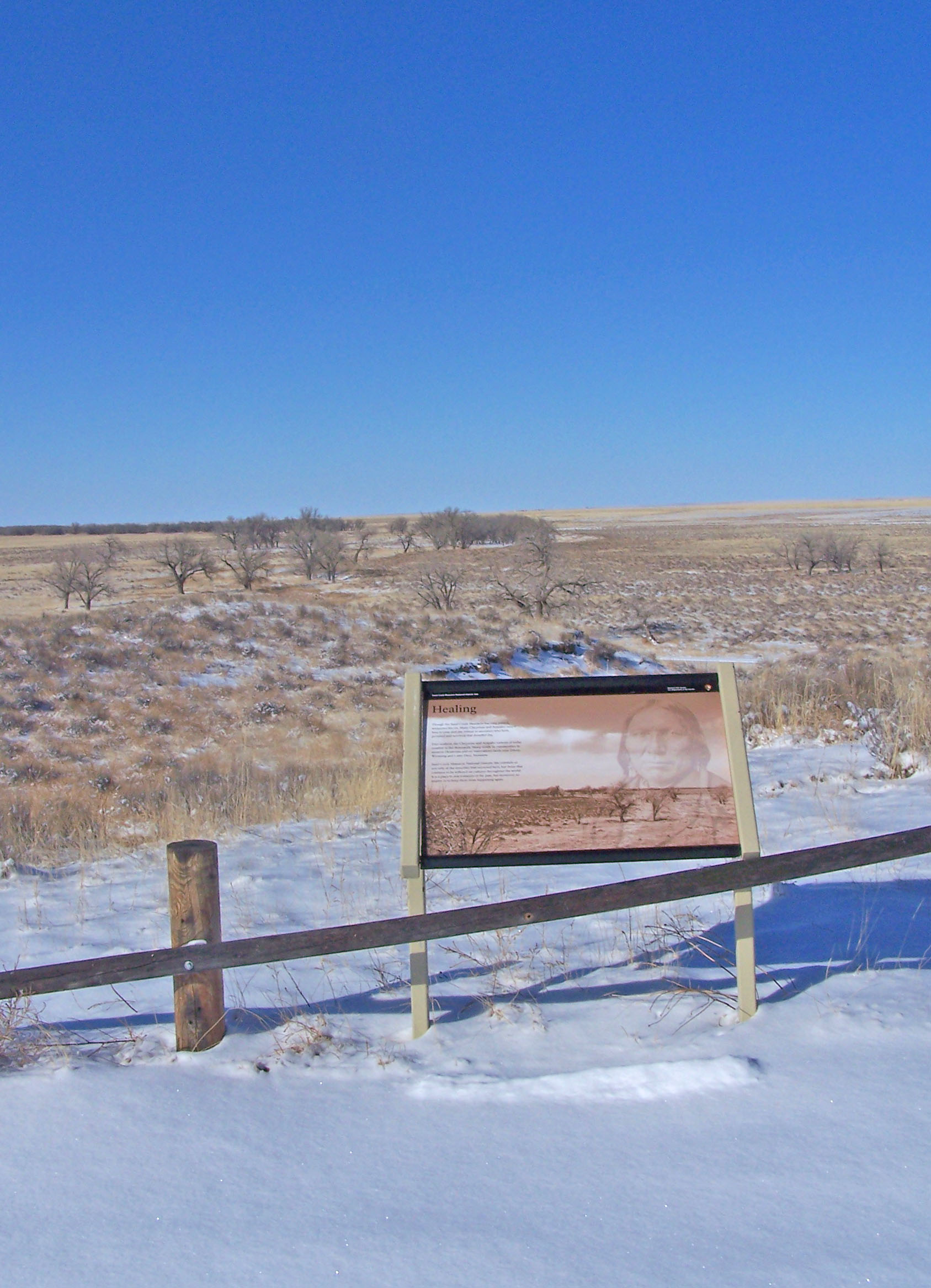
Images
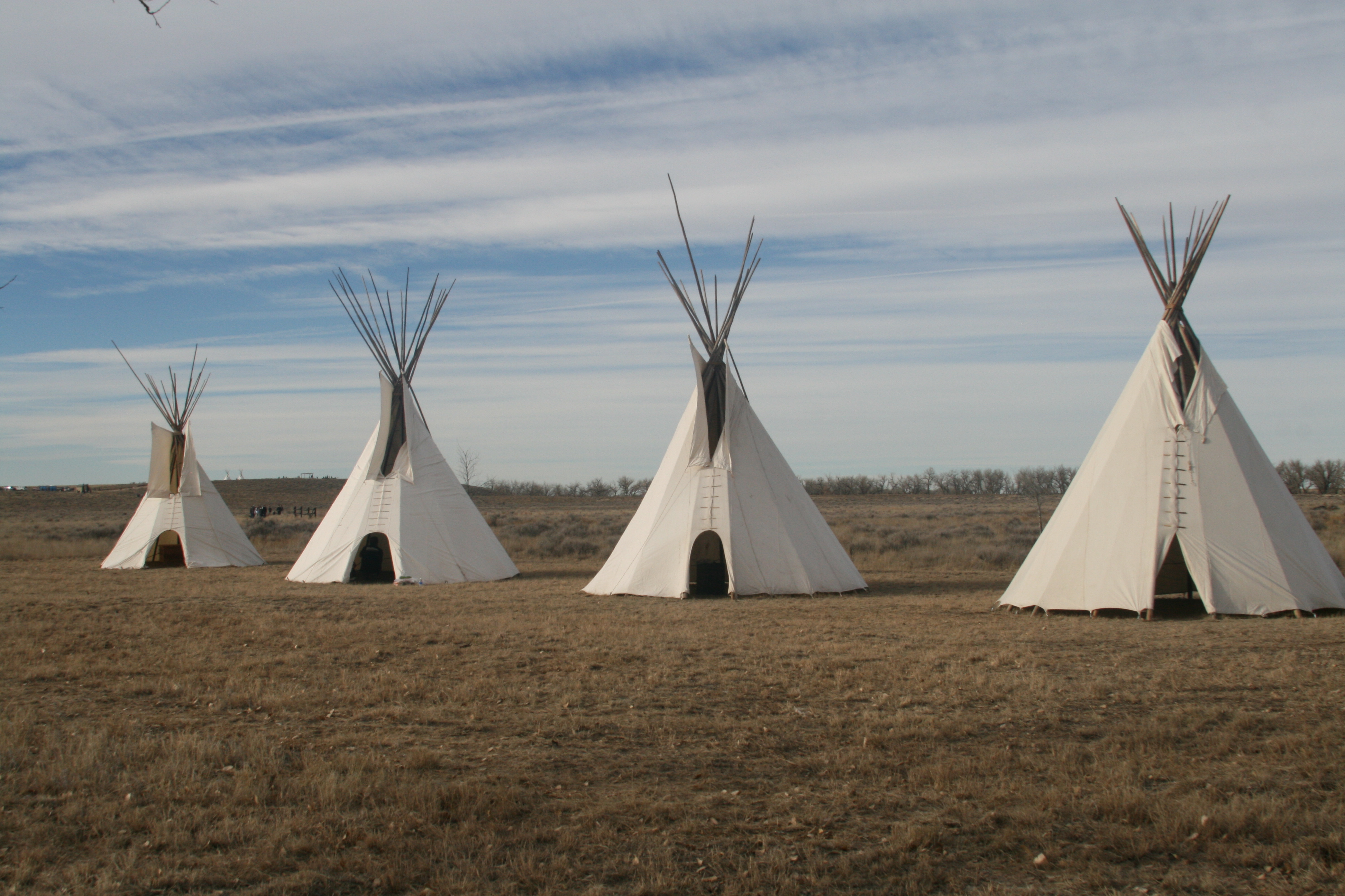
Cheyenne and Arapaho Lodges erected in commemoration of the 150th Year of the Sand Creek Massacre
Credit: NPS Photo/Shawn G. Gillette
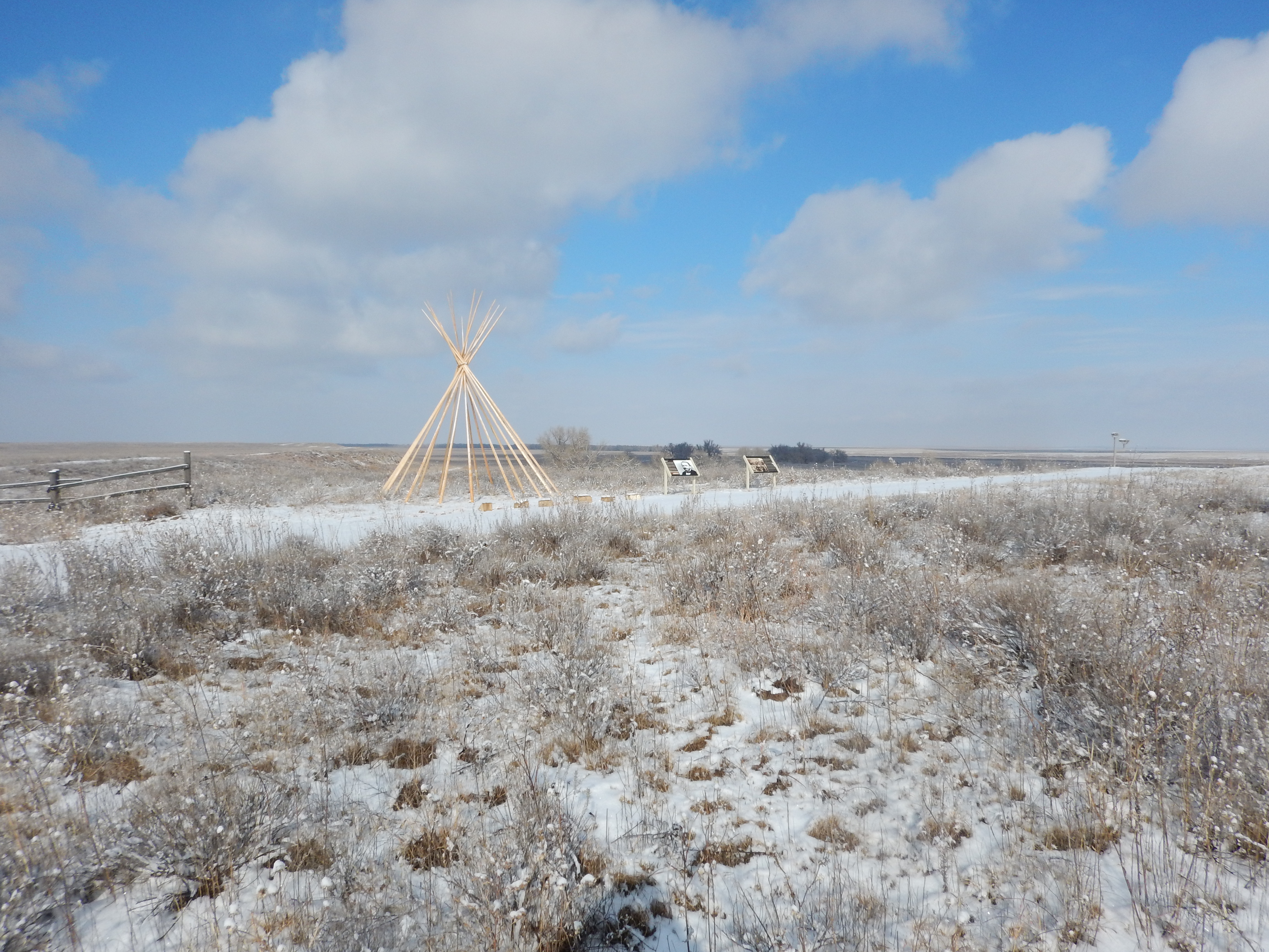
A tipi frame is backlit by an evening sky.
Credit: NPS Photo/Shawn G. Gillette
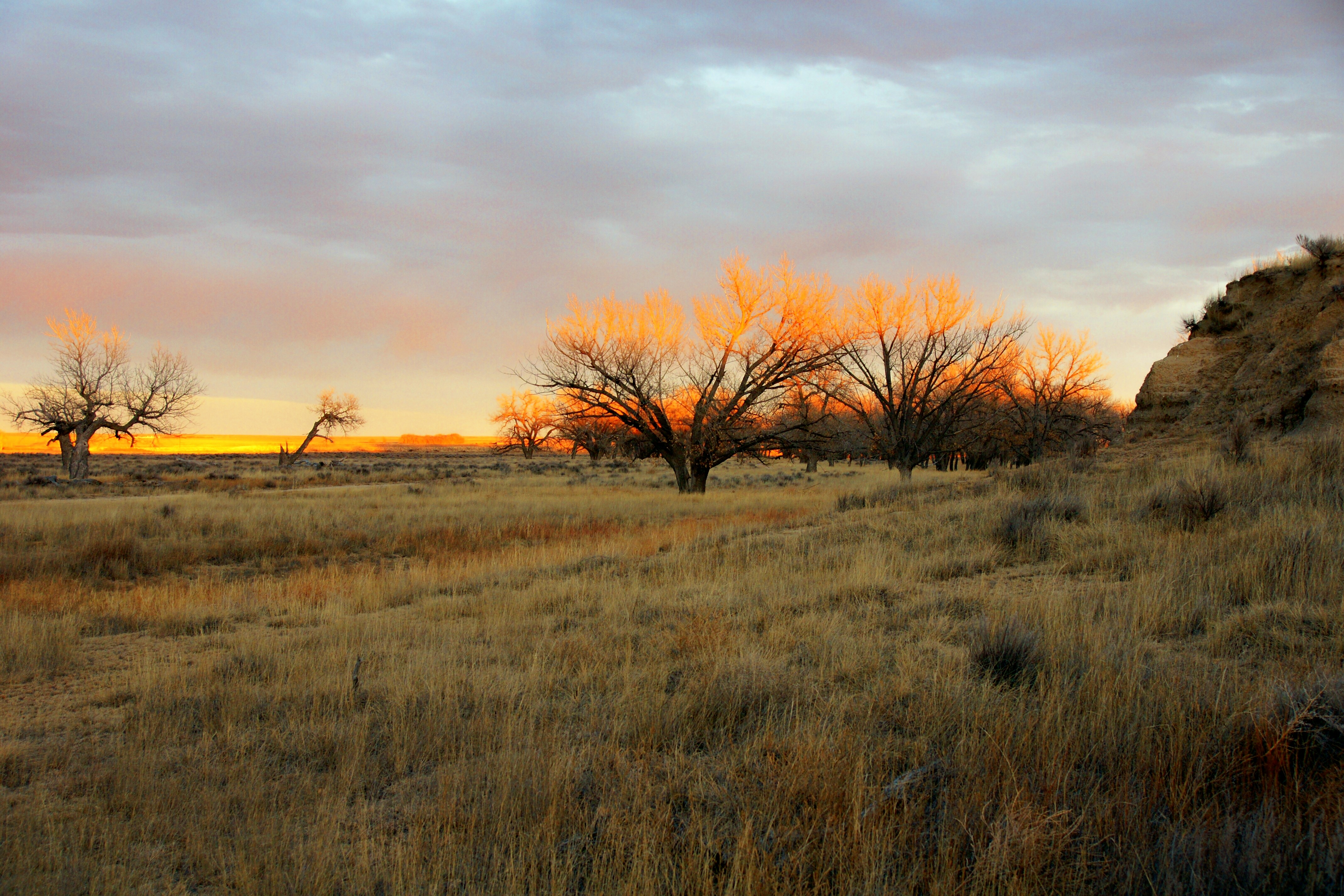
The setting sun highlights trees along Sand Creek, forming a hauntingly beautiful landscape
Credit: NPS Photo/Jeff Campbell

The silhouette of a lone tipi at dusk symbolizes the tragic events that occurred in 1864 and of the indomitable spirit of the Cheyenne and Arapaho people, who overcame the tragedy and continue to work with the NPS to preserve its memory and legacy.
Credit: NPS Photo/Jeff Campbell
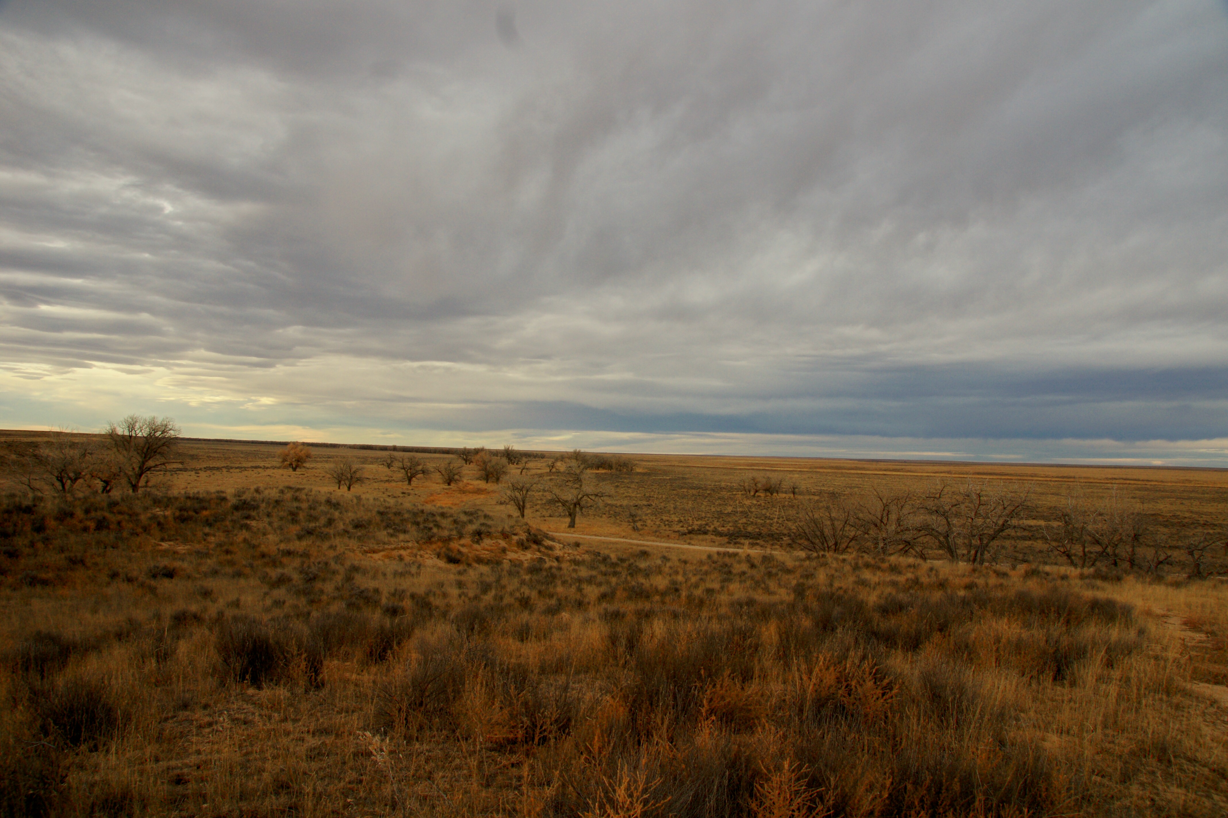
Winter on the Southeastern Colorado Plains can produce beautiful scenes such as this.
Credit: NPS Photo/Jeff Campbell
This tranquil winter view shows snow throughout the Sand Creek Valley.
Credit: NPS Photo/Shawn G. Gillette
Activities
Topics
Operating Hours
Entrance Fees
No entrance fees listed.
Entrance Passes
No entrance passes listed.
3-Day Weather Forecast
Saturday, Jun 13

Sunny
High: 93°F | Low: 61.3°F
Humidity: 41%
Wind: 22.4 mph
Rain Chance: 1%
UV Index: 10.3
Sunrise: 05:25 AM
Sunset: 08:14 PM
Moon: New Moon (1%)
Visibility: 6 mi
Dew Point: 65°F
Cloud Cover: 1%
Pressure: N/A mb
Air Quality (PM2.5): N/A
Ozone: N/A
EPA Index: N/A
Sunday, Jun 14

Patchy rain nearby
High: 77°F | Low: 57.9°F
Humidity: 49%
Wind: 17 mph
Rain Chance: 36%
UV Index: 10.3
Sunrise: 05:25 AM
Sunset: 08:15 PM
Moon: New Moon (0%)
Visibility: 6 mi
Dew Point: 55.3°F
Cloud Cover: 36%
Pressure: N/A mb
Air Quality (PM2.5): N/A
Ozone: N/A
EPA Index: N/A
Monday, Jun 15
Patchy rain nearby
High: 81.2°F | Low: 57.4°F
Humidity: 56%
Wind: 15.2 mph
Rain Chance: 60%
UV Index: 5.9
Sunrise: 05:25 AM
Sunset: 08:15 PM
Moon: New Moon (2%)
Visibility: 6 mi
Dew Point: 59.6°F
Cloud Cover: 60%
Pressure: N/A mb
Air Quality (PM2.5): N/A
Ozone: N/A
EPA Index: N/A
Park Alerts
Park Events
Ranger Talk
The Sand Creek ranger talk explores the events of the mid 1800's and describes some of the social, economic, and political factors that contributed to the Sand Creek Massacre.
Please not that this program is a stationary talk, not a walking tour.
Location: Overlook OR Orientation Area The location of the Sand Creek ranger talk can vary depending on the weather. Check with the ranger in the Contact Station prior to the talk for the current location. Monument Hill Overlook: The overlook can be accessed via the Overlook parking area, or by walking the half-mile Trail from the Picnic Area. Orientation Area: Approximately 150 feet from the parking area near the Contact Station.
Date: Nov 14, 2025 12:00am to Mar 15, 2026 12:00am
Paid Event
Visitor Center & Contacts
📍 Physical Address:
55411 County Rd W
Chivington, CO 81036
🏤 Mailing Address:
1301 Maine Street
P.O. Box 249
Eads, CO 81036-0249
📞 Voice Phone: 7194385916
✉️ Email: sand_information@nps.gov