Since Yucca House was protected as a national monument in 1919, it has remained largely untouched, offering intrepid visitors a sense of discovery and preserving the pueblo's beauty and integrity for future generations.
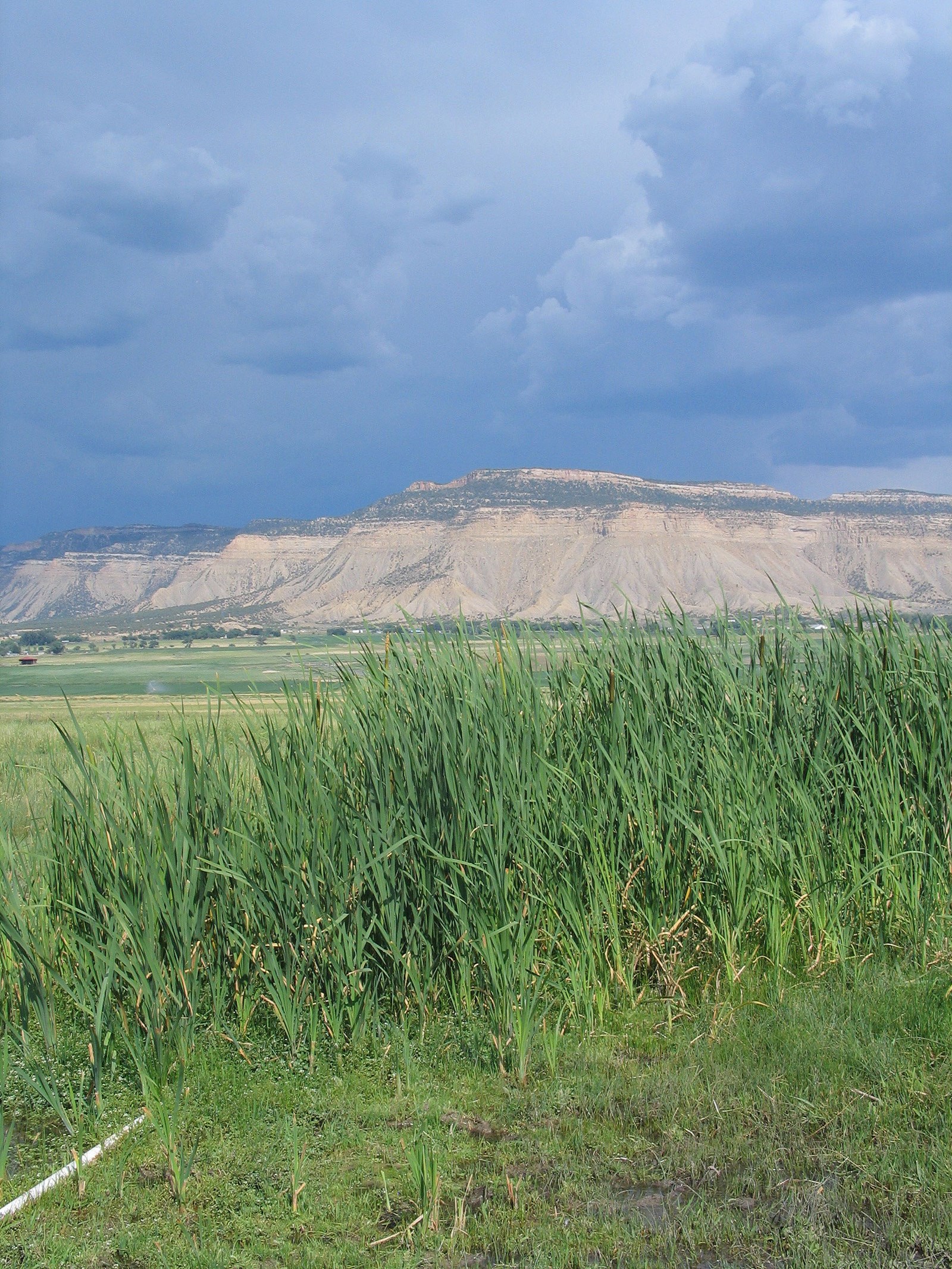 Photo: NPS Photo
Yucca House National Monument
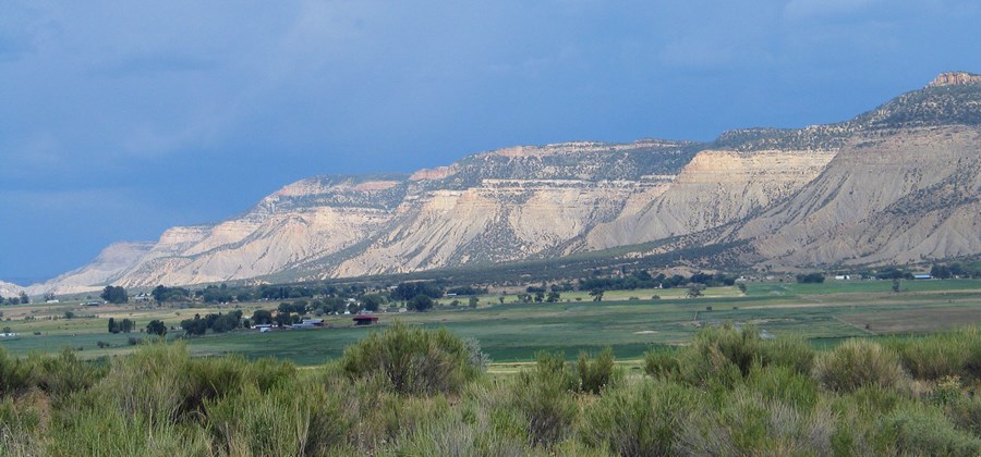
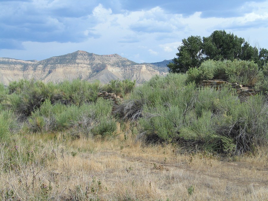
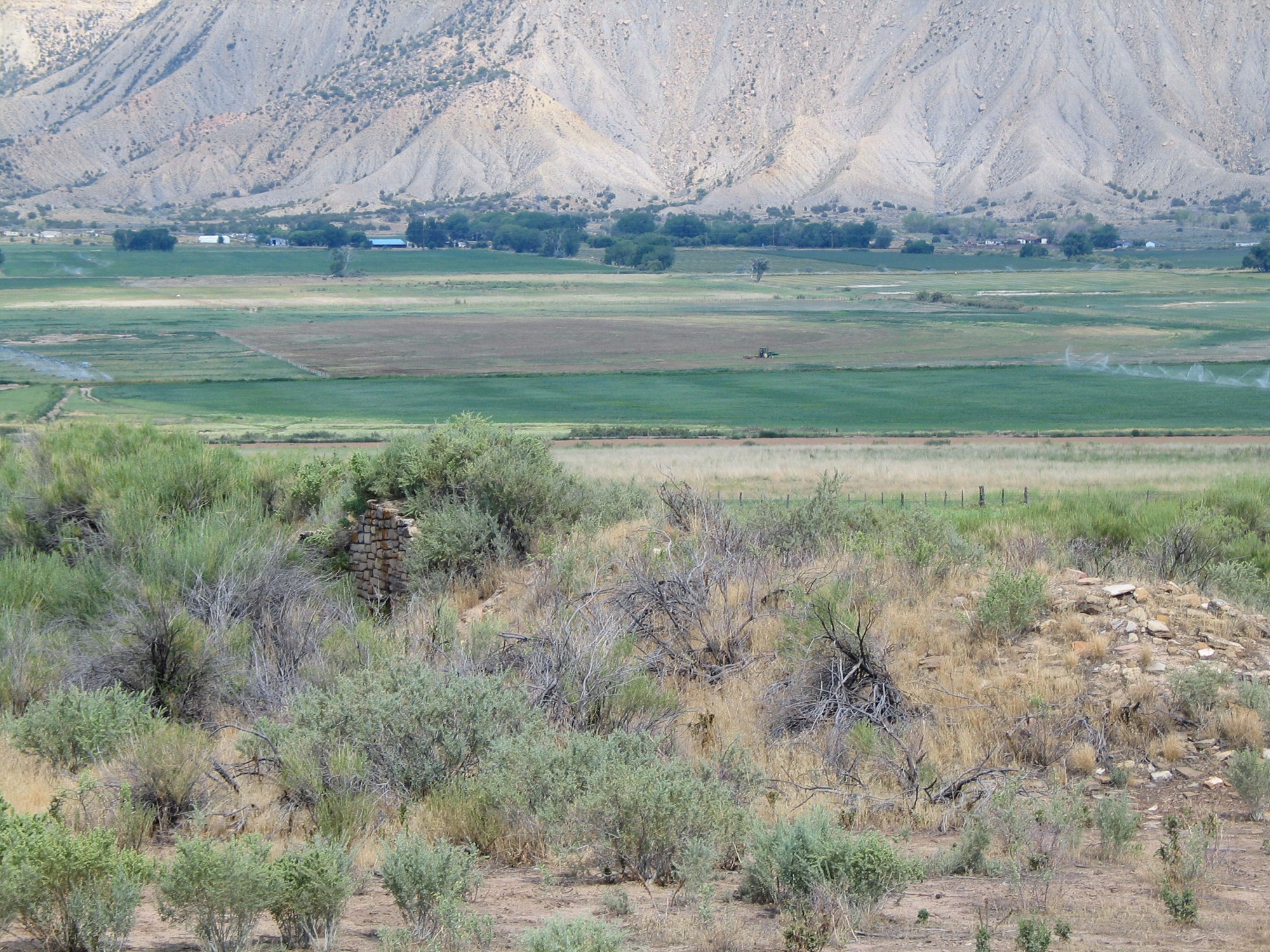
Yucca House National Monument preserves a large unexcavated pueblo with a stunning setting in Montezuma Valley, nestled between Mesa Verde and Ute Mountain.
- LocationCortez, CO
- Entrance No fee listed
- HoursOpen 24 hours, daily
-
 Weather now63°F Sunny
- Alerts No active alerts
Overview
Topics
- Animals
- Archeology
- Native American Heritage
Things to Do
2 activities. Pick one to find other parks that offer it.
Plan Your Visit
Hours
Open 24 hours, daily · Yucca House National Monument
Hours details
-
Yucca House National MonumentOpen 24 hours, daily
Open year-round, weather pending. No services are available.
Entrance fees
No entrance fees listed.
Weather
63°F
Sunny · feels like 61°
-
Today
70° 49°
Sunny4% rain
-
Tomorrow
72° 55°
Sunny2% rain
-
Saturday
76° 56°
Sunny2% rain
Updated 3 hr ago
What to expect by season
Spring and Fall are mild with daytime temperatures ranging from 50 F to 80 F. Winter temperatures are below 50 F with occasional snowstorms. Summers are hot and dry, with highs in the 90s.
Contact the park
Photos
-
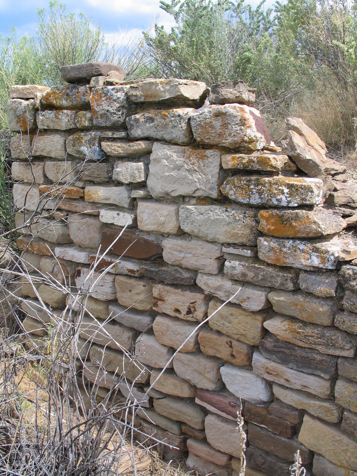
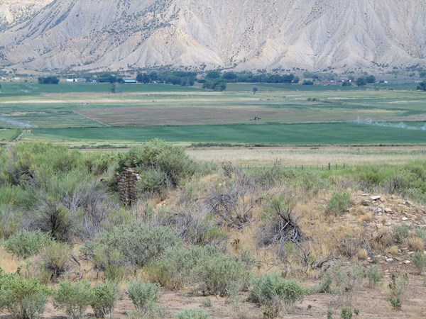
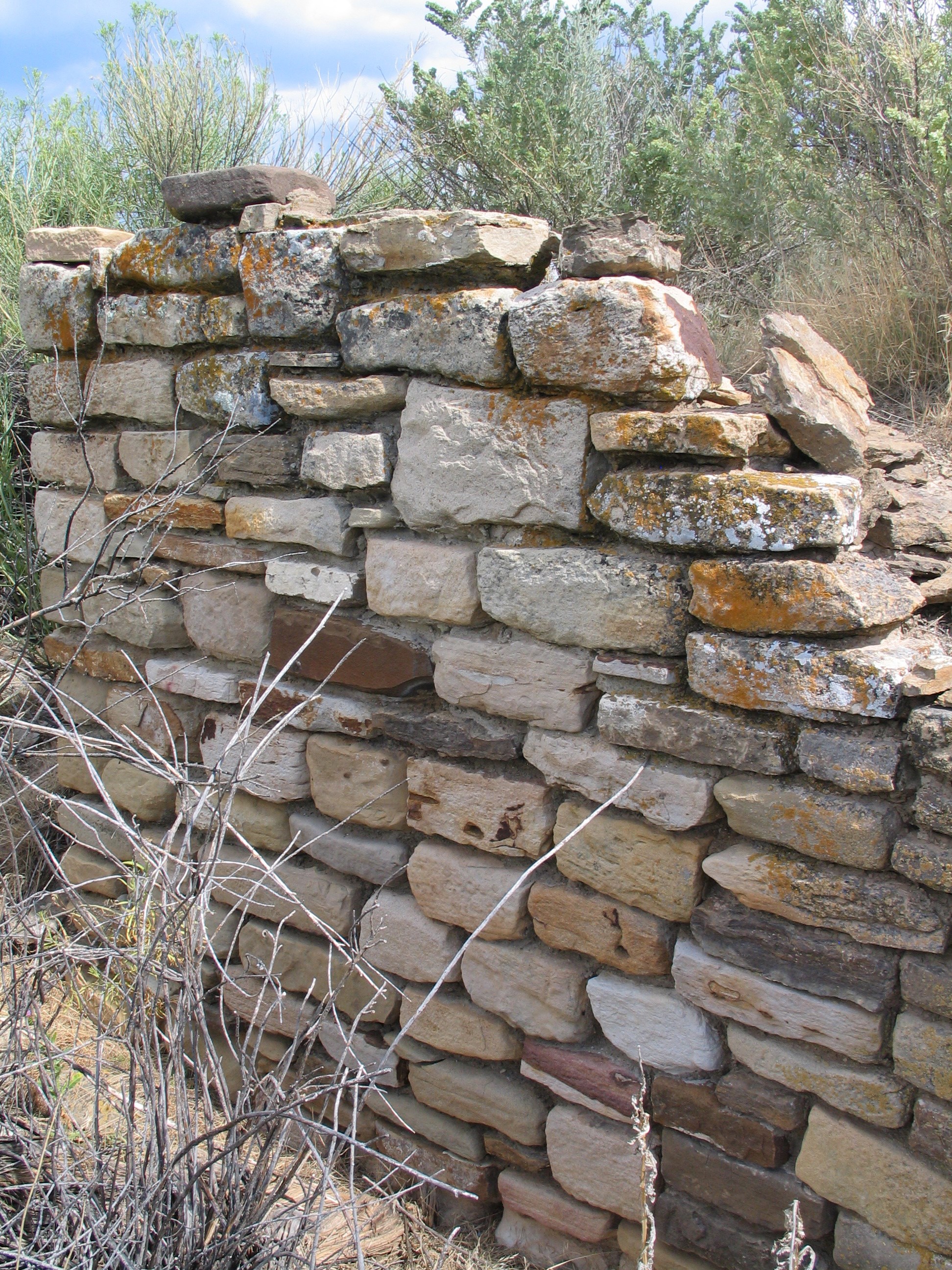
View of an Ancestral Puebloan wall still standing at Yucca House. — NPS Photo -
Getting There
Cortez, CO 81321
From Cortez, take Hwy. 491 south approximately 8 miles. Take a right on MC County Road B (green sign), which is a dirt road one mile south of MC Road C.
Full directions
Drive 0.8 miles, crossing a paved road (MC Road 21), and take the next dirt road on the right (before the farmhouse on the left). Follow this road north and west for 1.4 miles, and head towards a white ranch house with a red roof on the west horizon. Once at the ranch house, Yucca House NM is on the left side if the driveway.
Mailing address: PO Box 8, Mesa Verde, CO 81330
Map loads when you scroll here