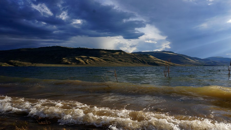
It is a landscape of tradeoffs; natural and human made features exist together. Geologic wonders are abundant from the sagebrush shrublands to forests.
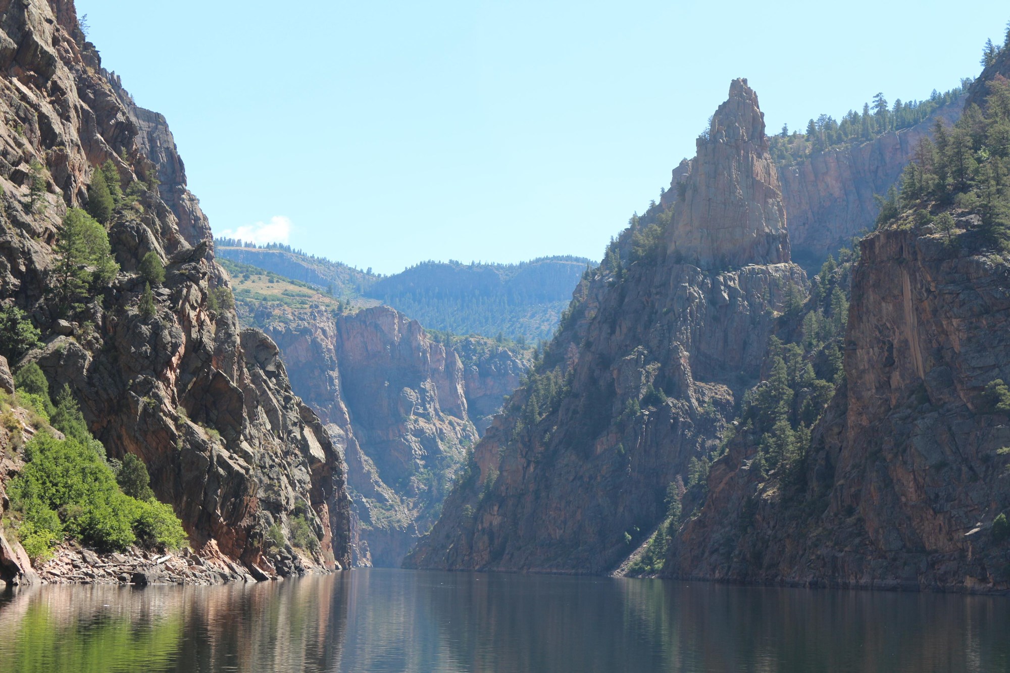
Visitors can experience the park year-round on both land and water.
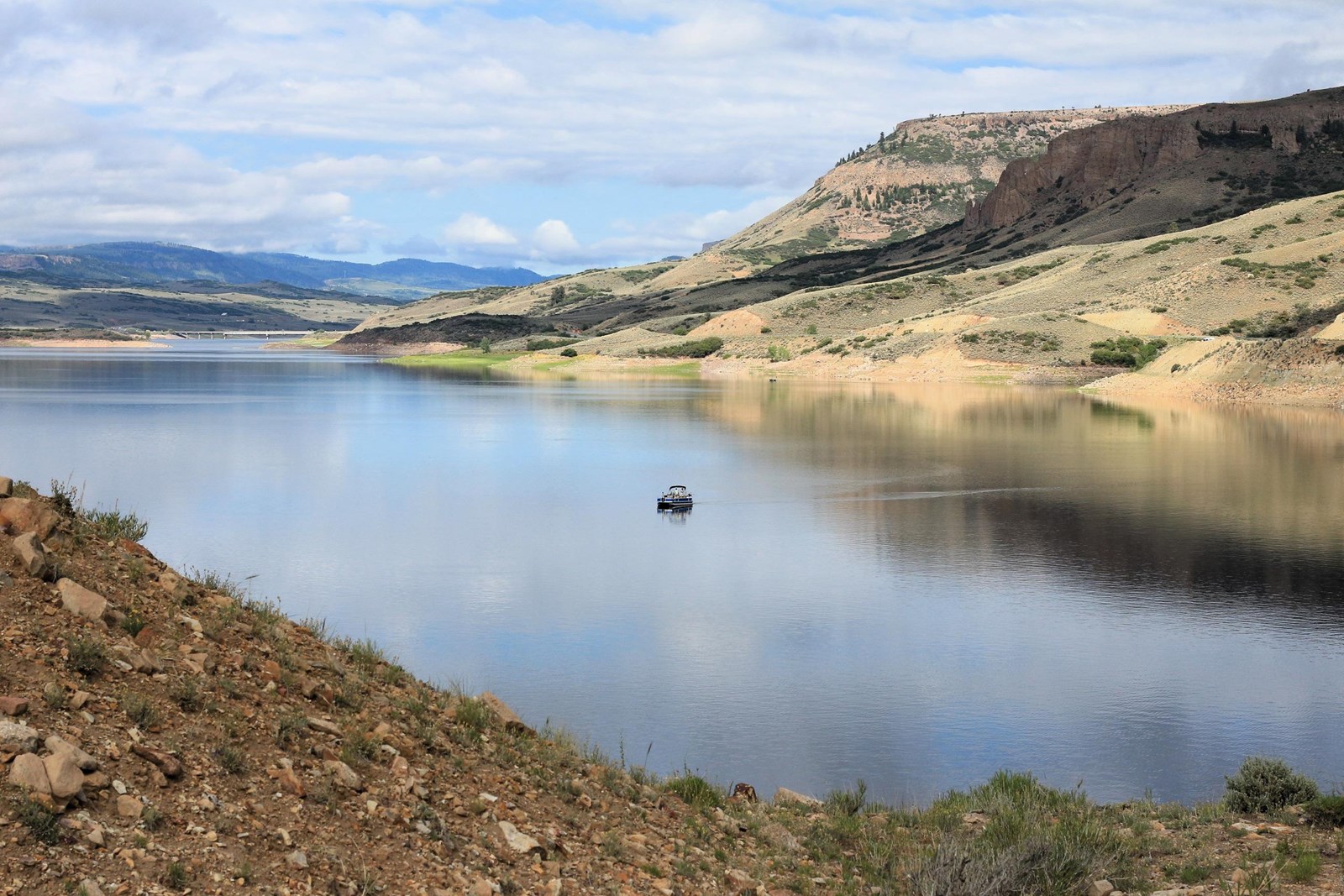 Photo: NPS/Kat Connelly
Three reservoirs and surrounding lands make up this recreation area in western Colorado.
 Weather now60°F Sunny
It is a landscape of tradeoffs; natural and human made features exist together. Geologic wonders are abundant from the sagebrush shrublands to forests.
Visitors can experience the park year-round on both land and water.
Cyanotoxins are currently present in the Iola Basin. Until further notice, the park recommends that no person or pet swims in, or drinks from, reservoir waters in the Iola Basin. Cyanotoxins may be present in the Cebolla and Sapinero Basins. Use caution when fishing, boating, or recreating in Blue Mesa Reservoir.
14 experiences from the National Park Service. Check details on NPS.gov before you go.
Fee applies
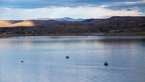
Blue Mesa Reservoir, the largest body of water in Colorado, has 96 miles of shoreline and provides opportunities for motorboating, paddleboarding, kayaking, canoeing, and more.
Learn more about Boat on Blue Mesa Reservoir on NPS.gov (opens in a new tab)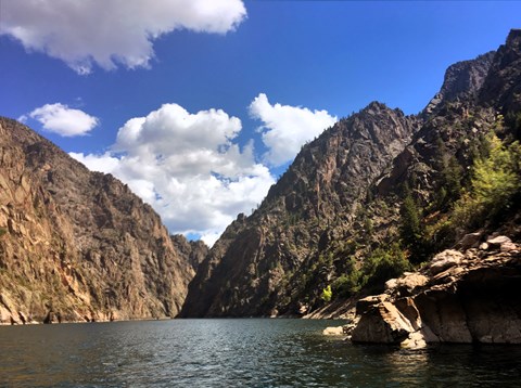
Crystal Reservoir provides backcountry flatwater boating opportunities. Hand-carried craft only. Access is from Mesa Creek Trail located at Cimarron.
Learn more about Boat on Crystal Reservoir on NPS.gov (opens in a new tab)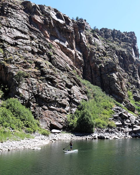
For the more adventurous, Morrow Point Reservoir is a great location for canoeing or kayaking. The easiest access to launch hand-carried craft is via the Pine Creek Trail.
Learn more about Boat on Morrow Point Reservoir on NPS.gov (opens in a new tab)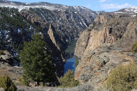
Colorado (CO) Highway 92 crosses over Blue Mesa Dam and winds along the north rim of the Black Canyon, providing access to scenic overlooks and trailheads.
Learn more about Drive CO Highway 92 on NPS.gov (opens in a new tab)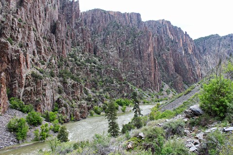
East Portal Road is a windy, steep scenic road down to the Gunnison River. East Portal is within Curecanti National Recreation Area, but only accessible from within Black Canyon of the Gunnison…
Learn more about Drive East Portal Road on NPS.gov (opens in a new tab)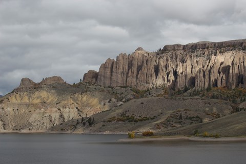
U.S. Highway 50 travels west from Gunnison and brings you into Curecanti National Recreation Area. The highway follows along the Gunnison River before reaching Blue Mesa Reservoir, continuing along…
Learn more about Drive U.S. Highway 50 on NPS.gov (opens in a new tab)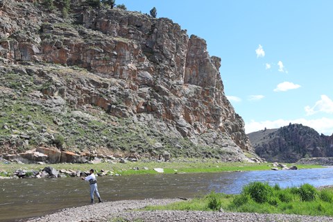
Fishing is allowed along the Gunnison River and all three reservoirs of Curecanti National Recreation Area. All Colorado State fishing regulations apply.
Learn more about Fishing at Curecanti on NPS.gov (opens in a new tab)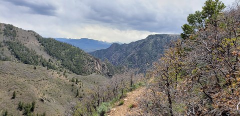
Winding through abundant wildflowers, Gambel oak, aspens, conifers and a recovering burn area, Crystal Creek Trail is ideal for spring or fall hiking.
Learn more about Hike Crystal Creek Trail on NPS.gov (opens in a new tab)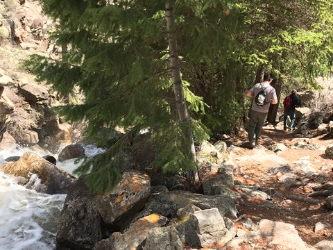
After descending from the high rim of the Upper Black Canyon of the Gunnison, the trail follows Curecanti Creek as it descends toward Morrow Point Reservoir.
Learn more about Hike Curecanti Creek Trail on NPS.gov (opens in a new tab)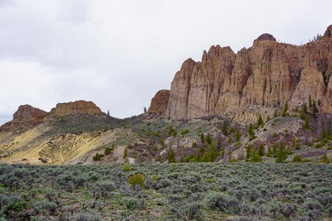
Ascending through sagebrush, ponderosa pine and riparian habitats, this 1.9-mile (3.2 km) trail offers spectacular views of Blue Mesa Reservoir, the distant San Juan Mountain peaks, and the eroded…
Learn more about Hike Dillon Pinnacles on NPS.gov (opens in a new tab)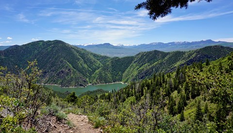
Zigzagging through oak, pine, juniper, and fir, hikers descend more than 1750 ft (531 m) to a wooded camp and picnic sites on the shores of Morrow Point Reservoir.
Learn more about Hike Hermits Rest Trail on NPS.gov (opens in a new tab)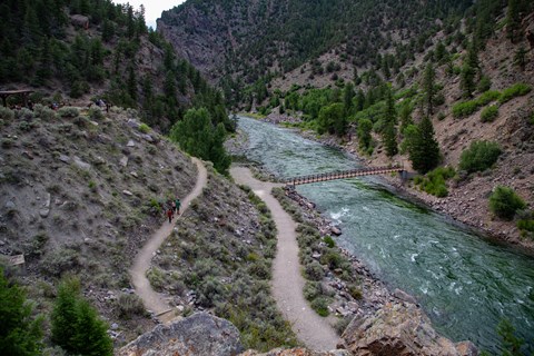
This trail crosses Crystal Reservoir via footbridge and meanders along the river's edge for views of the sheer canyon walls.
Learn more about Hike Mesa Creek Trail on NPS.gov (opens in a new tab)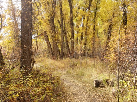
This short trail is located nearest to Gunnison along the Gunnison River and provides good birdwatching opportunities.
Learn more about Hike Neversink Trail on NPS.gov (opens in a new tab)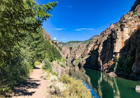
This trail follows Pine Creek as it cascades into the depths of the upper Black Canyon to Morrow Point Reservoir. It follows the old narrow gauge railroad bed along the reservoir.
Learn more about Hike Pine Creek Trail on NPS.gov (opens in a new tab)Showing 14 of 14
Pick one to find other parks that offer it.
9 campgrounds listed on Recreation.gov. Check availability and current conditions before you go.
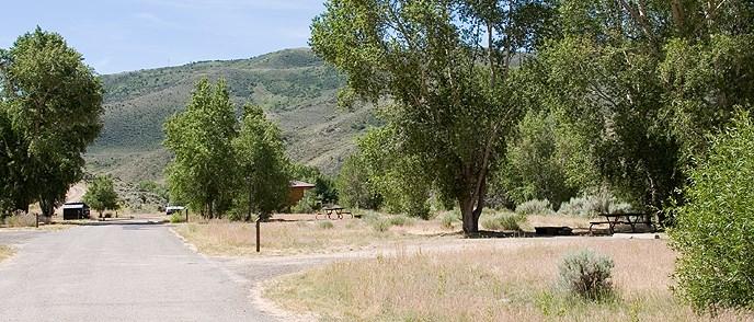
Not reservable on Recreation.gov Campground
Cimarron Campground is located 20 miles (32 km) east of Montrose, CO on U.S. Highway 50 at the site of Cimarron, a historic narrow gauge railroad town. The campground…
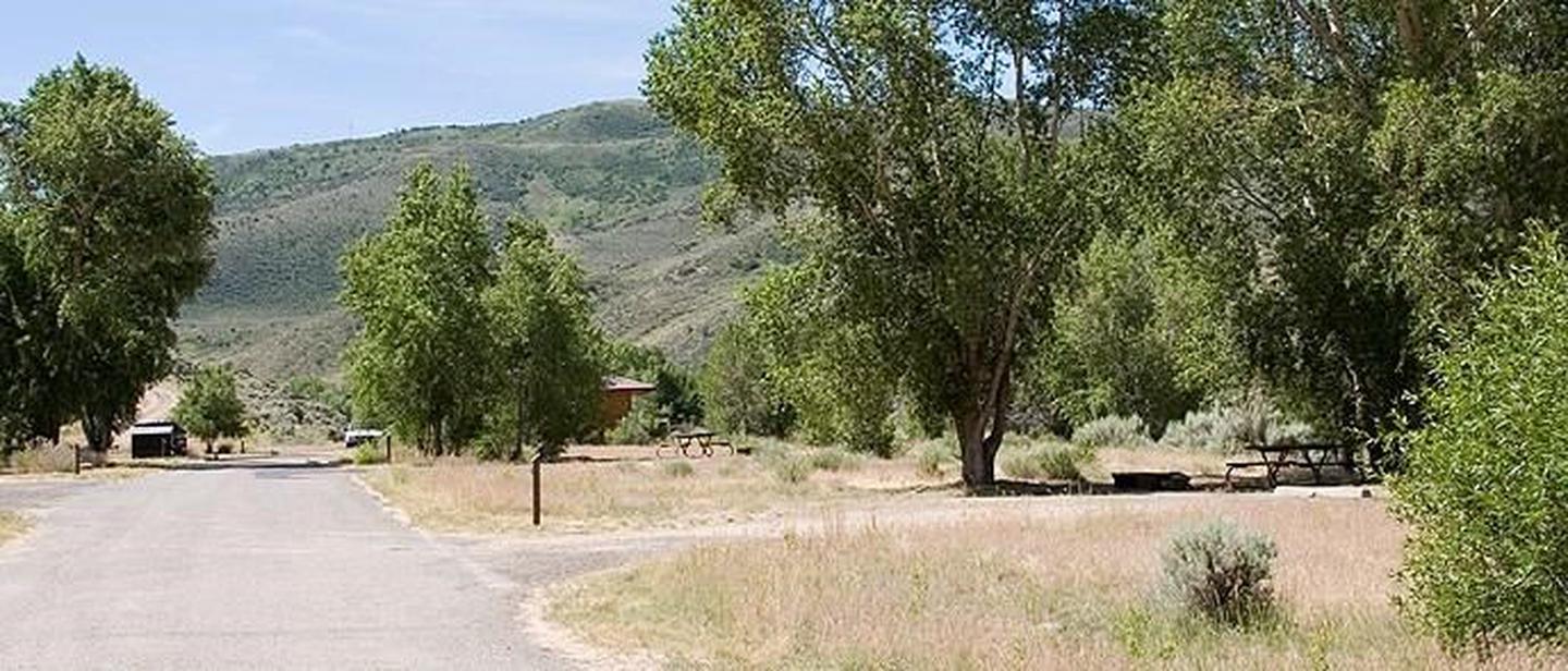
Reservable Campground
Cimarron Campground is located 20 miles (32 km) east of Montrose, CO on U.S. Highway 50 at the site of Cimarron, a historic narrow gauge railroad town . The campground…
Reserve on Recreation.govFees: All campsites at Cimarron Campground are first-come, first-served. This campground uses Scan & Pay to accept on-site payment through the Recreation.gov mobile app. Download the app ahead of your visit to arrive ready!
Overview
Cimarron Campground is located 20 miles (32 km) east of Montrose, CO on U.S. Highway 50 at the site of Cimarron, a historic narrow gauge railroad town . The campground accomodates all types of camping--from tents to medium sized RVs. All sites are first-come first-served, and the campground rarely fills. Railroad exhibits are adjacent to the campground, and Crystal Reservoir near Morrow Point Dam is approximately 1.5 miles away (2.4 km). Elevation: 6895 feet (2101 m)
Facilities
Seasonal potable water, flush toilets, dump station and trash/recycling collection provided. Picnic tables, fire grates and fire rings in every camp site.
Nearby Attractions
The Cimarron Canyon Rail Exhibit is adjacent to the campground. Crystal Reservoir near Morrow Point Dam is approximately 1.5 miles (2.4 km) away.
Charges & Cancellations
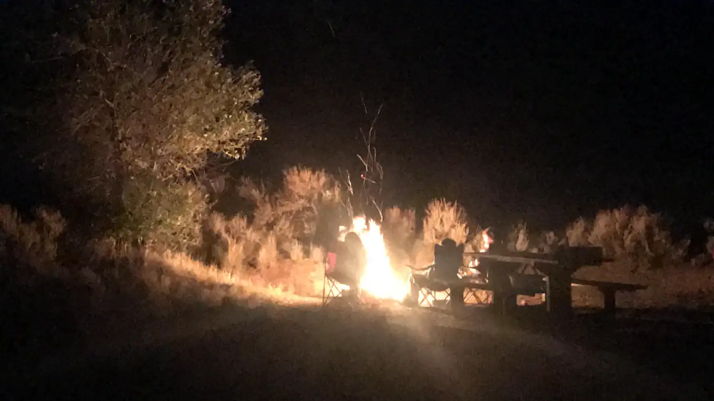
Reservable Campground
Invite family and friends to East Elk for an active group camping experience surrounded by rugged and stark mountains. The campground is perched on the tranquil East Elk…
Reserve on Recreation.govOverview
Invite family and friends to East Elk for an active group camping experience surrounded by rugged and stark mountains. The campground is perched on the tranquil East Elk Creek, which allows for water activities without the commotion of the reservoir. Enjoy time picnicking, kayaking, fishing or exploring wildlife.Recreation
The campground is set just off of the windsurfing area in the Cebolla Basin. It's an ideal location for avid windsurfers. It's also great for canoeing and hiking.
Try the Dillon Pinnacles Trail for the nearest hiking trail. Visit Curecanti's hiking web page for details.
Facilities
This is a group campsite accommodating a minimum of 9 people up to a maiximum 50 people. The boat ramp and inspection station are less than a mile away at Elk Creek.
Natural Features
East Elk Creek sits at an altitude of 7,800 feet, just off the Blue Mesa Reservoir in Curecanti National Recreation Area.Nearby Attractions
Charges & Cancellations
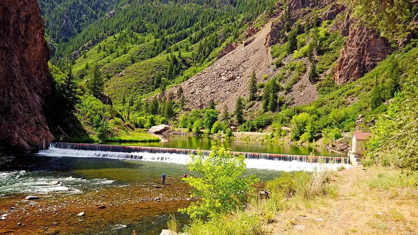
Reservable Campground
The East Portal Campground is located within Curecanti National Recreation Area, but is adjacent to and only accessible from Black Canyon of the Gunnison National Park…
Reserve on Recreation.govFees: All campsites at East Portal are first-come, first-served. This campground uses Scan & Pay to accept on-site payment through the Recreation.gov mobile app. Download the app ahead of your visit to arrive ready! NOTE: Entrance to the…
Overview
The East Portal Campground is located within Curecanti National Recreation Area, but is adjacent to and only accessible from Black Canyon of the Gunnison National Park. The campground is located at the bottom of the canyon, along the Gunnison River. It is a small campground of 15 sites (10 are tent-only), shaded by box elder trees. East Portal is closed in winter, when the Bureau of Reclamation closes the East Portal Road. Elevation: 6526 feet (1990 m).
NOTE: Black Canyon of the Gunnison charges a $30 per vehicle entrance fee which you will pay upon arrival (or purchase in advance ). The park also honors interagency passes for entry (e.g., senior, access, Golden Age, 4th grade, etc.).
Facilities
East Portal is a small campground of 15 sites (10 are walk-in tent-only; 5 are vehicle accessible), shaded by box elder trees. Seasonal potable water access and trash collection. Food storage in bear boxes is required. Each campsite has a fire pit, grill and picnic tables. The campground has vault toilets only.
Natural Features
East Portal offers plentiful shade and nearby access to the Gunnison River. Spectacular views of Black Canyon of the Gunnison and Curecanti are abundant.
Reservable Campground
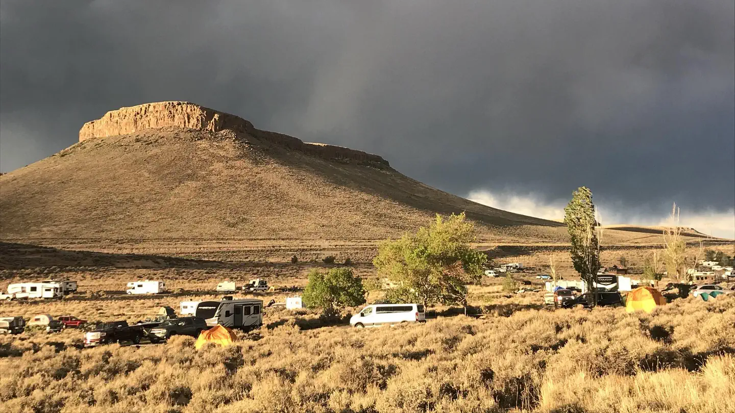
Elk Creek Campground is on the north shore of Blue Mesa Reservoir. The lake is Colorado's largest body of water with 96 miles of shoreline and the largest Kokanee Salmon…
Reserve on Recreation.govFees: There is an additional $6:00 electricity attribute fee for Standard Electric sites.
Overview
Elk Creek Campground is on the north shore of Blue Mesa Reservoir. The lake is Colorado's largest body of water with 96 miles of shoreline and the largest Kokanee Salmon fishery in the United States.
Elk Creek Campground is located off of US HWY 50 -15 miles west of Gunnison Co. at Mile Marker 142.
The campground is part of the Curecanti National Recreation Area, which was named after a Ute Indian chief of the mid-19th century.
The Elk Creek area is a hub for water based activities year round.
Recreation
Anglers delight in catching salmon and rainbow trout, while water sports fans find excitement in windsurfing and water skiing.
Swimming is permitted throughout the 20-mile long reservoir and birders can find bald eagles here year round.
Facilities
Campfire programs are in full swing during the summer months.
Cell phone service is limited. Electric hookups are in Loop D for both 30 and 50 amps.
Elk Creek, Lake Fork and Iola boat ramps are OPEN for the season.
Natural Features
At an altitude of 7,540 feet, Elk Creek is surrounded by a vast expanse of sagebrush. Trees are minimal because the reservoir gets less than 12 inches of rain a year.Nearby Attractions
Visit the Cimarron Rail Exhibit to see railcars and the last remaining railroad trestle on the Black Canyon of the Gunnison route.
Charges & Cancellations
Reservable Campground
Lake Fork Campground is on the Blue Mesa Reservoir, near the reservoir's dam. It is a part of the historic Curecanti Recreation Area and is an ideal place to stay for…
Reserve on Recreation.govOverview
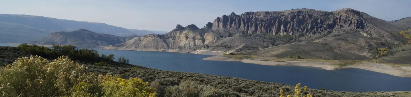
Lake Fork Campground is on the Blue Mesa Reservoir, near the reservoir's dam. It is a part of the historic Curecanti Recreation Area and is an ideal place to stay for days of boat recreation, hiking and taking in the views of the Black Canyon.
Recreation
Jet skiing, water skiing and canoeing are some of the many water activities available on the reservoir.
Bird Watching is also rewarding, with chances to see the black-billed magpie.
Along the shrubland, visitors can spot Gunnison's Prairie Dogs popping out of their holes.
Facilities
Flush toilets are available in summer months.
Cell phone service is limited.
For anglers, a fish cleaning station is provided for conveniently preparing the days catch.
Elk Creek, Lake Fork and Iola boat ramps are OPEN for the season.
Natural Features
The steep canyon walls in this part of the reservoir were carved out by the Gunnison River, which once flowed with powerful intensity fueled by the snowmelt of nearby mountains.
Today, the Gunnison river is dammed in three places, creating three large and beautiful reservoirs to be enjoyed by visitors.
The land is characterized by semi-arid shrubland with vast expanses of sagebrush. The natural features and ecosystems of Curecanti vary greatly, with Riparian habitats, epic canyons and lush patches of Ponderosa pine, Douglas fir and aspen trees.
Nearby Attractions
The recreation area is just south of Gunnison National Forest and east of the Black Canyon of the Gunnison National Park. There's no shortage of options for Scenic Drives and Hiking.
Try hiking the Curecanti Creek Trail or Hermit's Rest Trail off HWY 92..
Charges & Cancellations
Reservable Campground
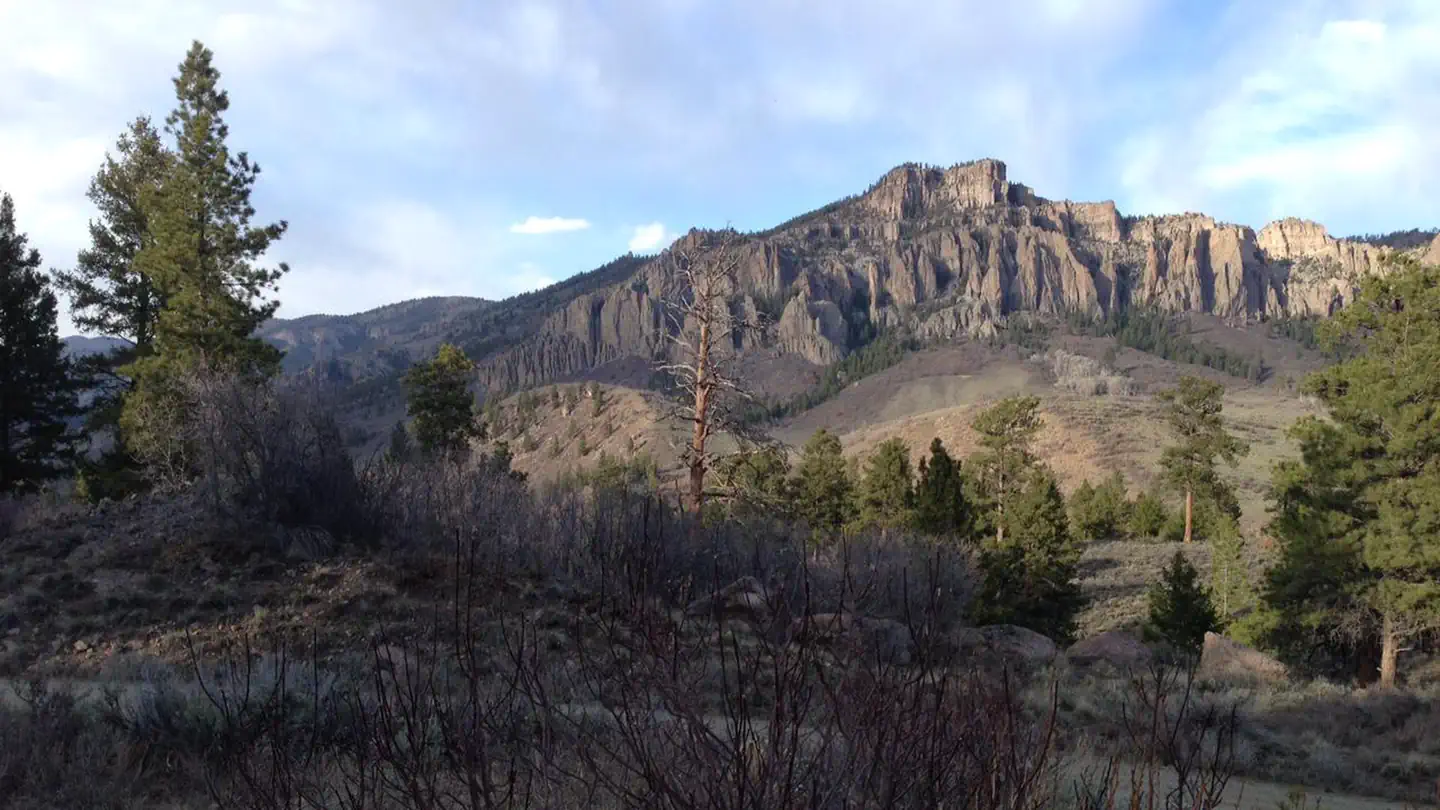
Ponderosa Campground is located at the northwest end of the Soap Creek Arm of Blue Mesa Reservoir at 7880 feet (2402 m). The campground offers outstanding views and…
Reserve on Recreation.govFees: All campsites at Ponderosa are first-come, first-served. You will pay upon arrival using the Recreation.gov mobile app (download the app before your visit), or by cash, check or credit card using the self-pay envelope on-site.
Overview
Ponderosa Campground is located at the northwest end of the Soap Creek Arm of Blue Mesa Reservoir at 7880 feet (2402 m). The campground offers outstanding views and solitude.
Note: During dry conditions, the first 7 miles (11 km) of Soap Creek Road are passable to trailers and RVs. Rain can make the Soap Creek Road impassable.
Facilities
Trash/recycling collection provided. Vault toilets only. Horse Corral in upper loop.
Reservable Campground
In the heart of southwest Colorado is a group camp getaway for nature lovers and outdoor sports-enthusiasts. The Red Creek Group Site is located in the Curecanti…
Reserve on Recreation.govOverview
In the heart of southwest Colorado is a group camp getaway for nature lovers and outdoor sports-enthusiasts. The Red Creek Group Site is located in the Curecanti Recreation Area, just south of the West Elk Mountains.Recreation
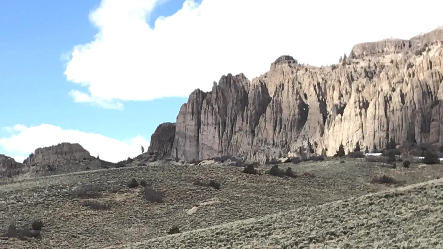
Hikers may enjoy the Dillon Pinnacles Trail for views of spires formed by erosional forces working volcanic debris. The trail is a lollipop of about 4 miles.
Anglers can enjoy fishing for brown, rainbow, and Mackinaw trout and Kokanee salmon. The population of Kokanee salmon is denser at Blue Mesa Reservoir than anywhere else in the country.
Facilities
This is a group camping site for a minimum of 9 people and a maximum of 20 people. Recreation vehicles over 22'' not reccomended.
Natural Features
“This area is characterized by semi-arid shrubland with large cottonwood trees lining the campground. Red Creek flows out of the West Elk Mountains, through this campground, and into Blue Mesa Reservoir. By mid to late summer, the creek is low enough for wading. Some small fish inhabit the deeper pools.”
Blue Mesa connects to the Morrow Point Reservoir, which flows down to the more isolated Crystal Reservoir. The passage of the Gunnison River is marked by the steep, narrow cliffs of the Black Canyon.
Nearby Attractions
The Cimarron Canyon Rail Exhibit features a display of an old-fashioned locomotive at the last remaining railroad trestle in the Black Canyon on the Gunnison route. The bonus is picture-perfect access to the tallest cliffs in the canyon.
The Red Creek Road, which passes by the campground, provides access to national forest lands where hiking abounds.
Charges & Cancellations
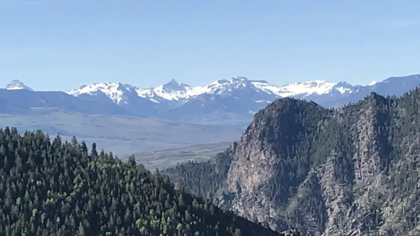
Reservable Campground
Stevens Creek Campground lies on the north shore at the eastern end of Blue Mesa Reservoir. This is the closest campground to the town of Gunnison, CO. Popular with…
Reserve on Recreation.govOverview
Stevens Creek Campground lies on the north shore at the eastern end of Blue Mesa Reservoir. This is the closest campground to the town of Gunnison, CO. Popular with boaters, Stevens Creek has easy access to the reservoir. It is very sunny and bright, and the scent of sagebrush adds to the camping experience.
A bit downstream is the Morrow Point Reservoir and the Crystal Reservoir, both surrounded by the steep cliffs of the Black Canyon.
Recreation
Stand up paddleboarding, fishing, canoeing and other water sports are popular here.
Bird Watching is rewarding throughout the park but especially so in this shallower end of the reservoir which is ideal for waterfowl.
Hikers, try the 1.5 mile (2.4) Neversink Trail, which meanders along the Gunnison River upstream of Blue Mesa Reservoir. Check the park's Hiking web page for more information.
Facilities
The 53-site campground offers waterfront-sites and a wide variety of amenities including a picnic area, self pay station and drinking water available late-May to mid-September.Natural Features
The campground sits at an elevation of 7,540 feet (2298 m) and is characterized by a semi-arid, treeless shrubland. The mesa landscape is covered with sagebrush and receives less than 12 inches (30 cm) of rain each year.
Nearby Attractions
Head into Gunnison for a meal, a bit of shopping, or a visit to the local park or museum. Gunnison is known for its western ambiance and small town friendliness. Mountain biking and hiking can be found at Hartman Rocks Trail just south of Gunnison.
Charges & Cancellations
This is a Scan and Pay campground. There are no refunds,changes, cancellations, or other fee changes allowed with Scan and Pay payments. This system is the same as putting cash into a fee tube and cannot be refunded.
Find passes, tours, tickets, visitor centers and other services available in the park. Check current hours and availability before you go.
Ticket Facility
Explore the Black Canyon of the Gunnison with a park ranger on the famous Morrow Point boat tour. Discover a seldom seen waterfall and ancient canyon walls, and learn…
102 Elk Creek, Gunnison, CO 970-641-2337 Directions
Explore the Black Canyon of the Gunnison with a park ranger on the famous Morrow Point boat tour. Discover a seldom seen waterfall and ancient canyon walls, and learn about the local landscape, resources, history, geology, wildlife and more.
The hour and a half long interpretive boat tours depart at 10 am and 1 pm daily (except Tuesday). Tours typically run from mid-June to early September, but the seasons vary depending on water conditions.
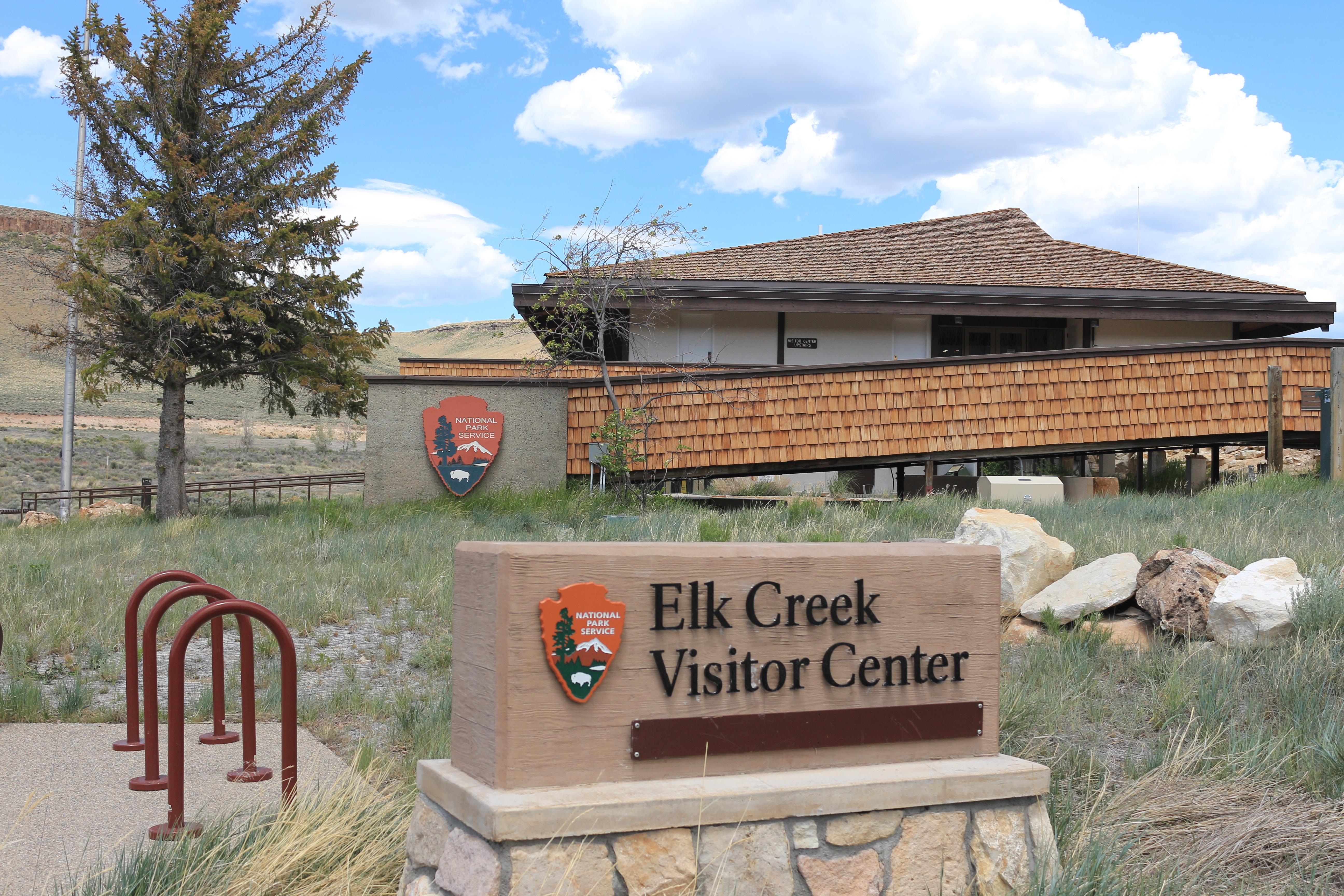
Visitor Center
This visitor center provides information, exhibits, book and map sales, restrooms, and outdoor seating. Water is available inside when the building is open.
102 Elk Creek, Gunnison, CO (970) 641-2337 Directions

Facility
Dry Gulch Campground is located 17 miles west of Gunnison just north of U.S. Highway 50. The campground is shaded by large cottonwood trees and can accommodate tents or…
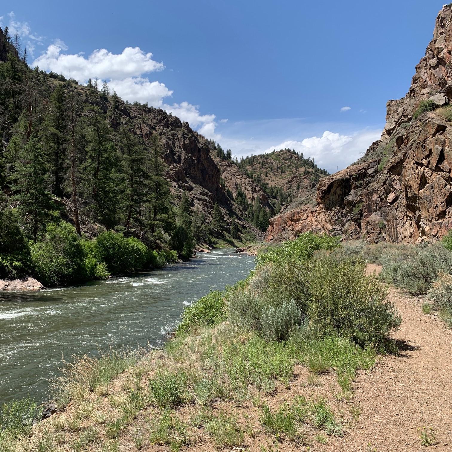
Facility
Gateview Campground is located in a deep, narrow canyon at the extreme south end of the Lake Fork Arm of Blue Mesa Reservoir. Take CO Highway 149 7 miles west of…
Open 24 hours, daily · Curecanti National Recreation Area
Open 24 hours per day, 365 days a year.
No entrance fees listed.
63° 40°
65° 42°
64° 44°
Updated 4 hr ago
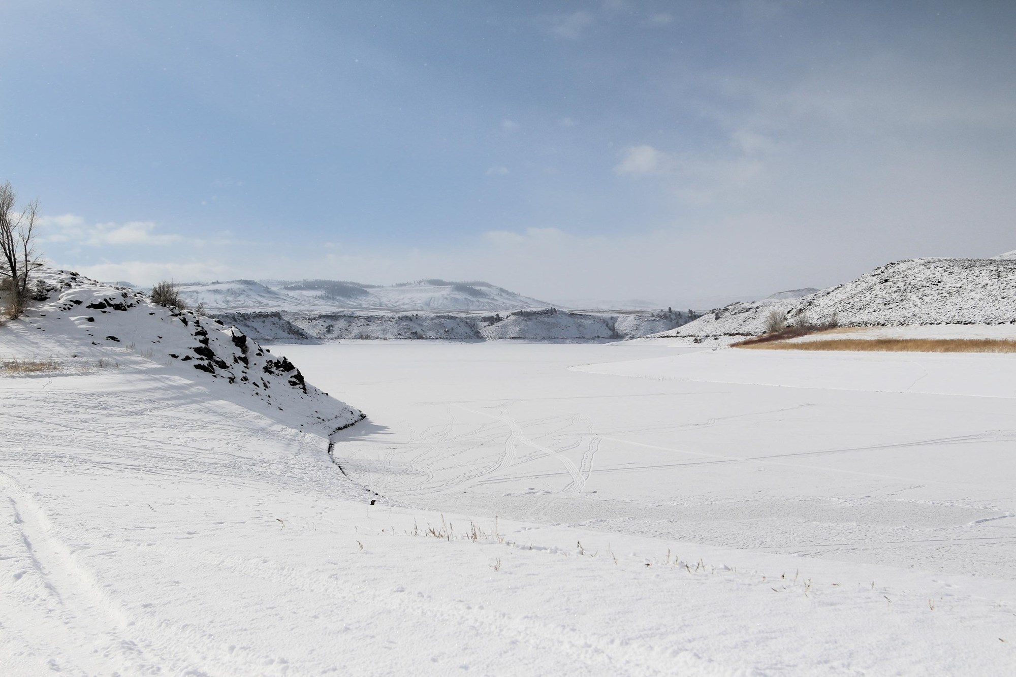
During spring and fall, temperatures range from 44°F to 70°F (7°C to 34°C) with overnight lows from the teens to about freezing (-9°C to 2°C). In summer, temperatures are usually in the 70°F to 80°F (21°C to 27°C). Nights are usually 40°F to 50°F (4°C to 10°C). The wind often picks up at 12 pm and continues through the afternoon. Thunderstorms are common. In winter, temperatures usually reach 20°F to 30°F (-7°C to -1°C) and lows often dip below zero (-18°C).
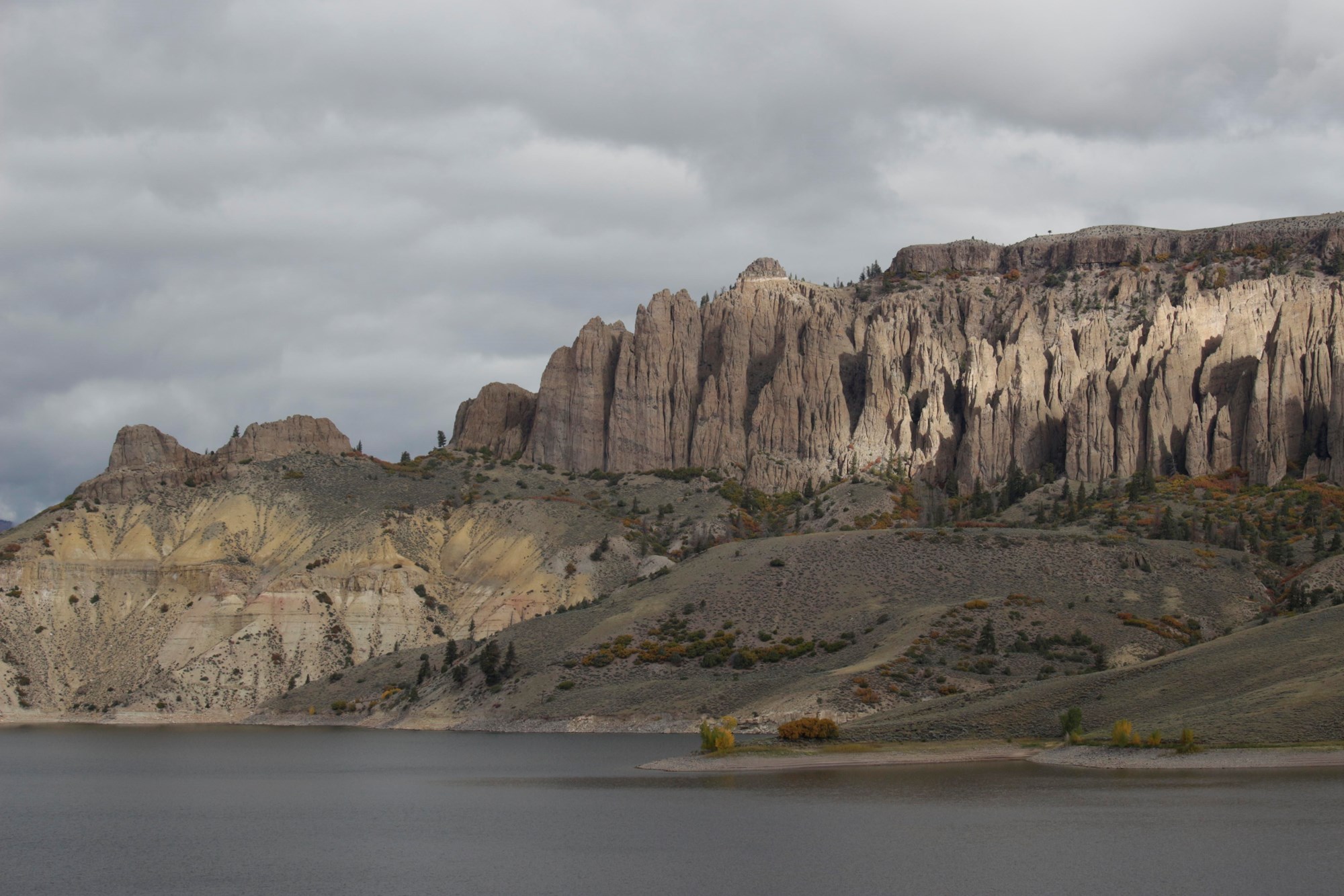
Curecanti is located between the Colorado towns of Gunnison (to the east), Montrose (to the west), and Lake City (to the south). The West Elk Mountain Wilderness area borders Curecanti to the north.
U.S. Highway 50 runs the length of Curecanti east to west.
Mailing address: 102 Elk Creek, Gunnison, CO 81230
Ask about trails, fees, weather, events, or planning your visit.
AI answers can be wrong. Check official NPS info before you go.