Guadalupe Mountains National Park protects the world's most extensive Permian fossil reef, the four highest peaks in Texas, an environmentally diverse collection of flora and fauna, and the stories of lives shaped through conflict, cooperation and survival.
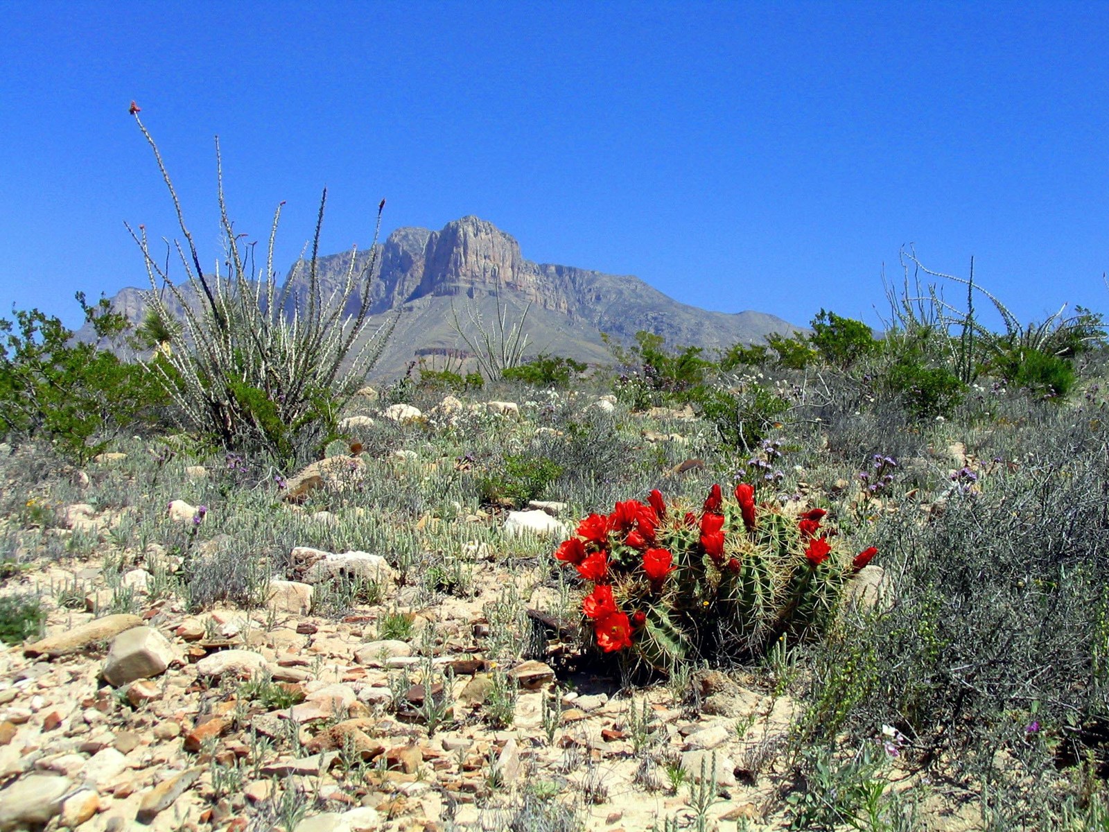 Photo: NPS/Bieri
Guadalupe Mountains National Park
Come experience mountains and canyons, desert and dunes, night skies and spectacular vistas within a place unlike any other.
- LocationSalt Flat, TX
- Entrance $10 per person
- HoursOpen 24 hours, daily
-
 Weather now69°F Sunny
- Alerts 2 active alerts
Overview
Topics
- Animals
- Archeology
- Birds
- Canyons and Canyonlands
- Colonization and Settlement
- Dunes
- Farming and Agriculture
- Fire
12 more topics
- Fossils and Paleontology
- Geology
- Military
- Mountains
- Native American Heritage
- Ranches
- Roads, Routes and Highways
- Rock Landscapes and Features
- Ruins
- Trails
- Transportation
- US Army
Alerts (2)
CautionDevil's Hall is a Strenuous Hike The hike to Devil's Hall is rated as strenuous. The portion of the route in the wash requires rock scrambling and is dan… Read more
The hike to Devil's Hall is rated as strenuous. The portion of the route in the wash requires rock scrambling and is dangerous when wet or if water is present. The wash surface is loose gravel and rocks and may be unstable.
InformationPark Store To Go Cashless Starting August 14th, 2025 the park store will go cashless. All major credit cards, debit cards and mobile electronic pa… Read more
Starting August 14th, 2025 the park store will go cashless. All major credit cards, debit cards and mobile electronic payments will be accepted.
Things to Do
20 activities. Pick one to find other parks that offer it.
Camping
6 campgrounds listed on Recreation.gov. Check availability and current conditions before you go.
-

Dog Canyon Campground
Reservable Campground
Dog Canyon is a 70-mile (113 km) drive from the nearest town of Carlsbad, New Mexico and is 110 miles (177 km) from the Pine Spring Visitor Center & Campground (a 2 hour…
Reserve on Recreation.gov- Hiking
- Picnicking
- Backpacking
- Birding
Details
Fees: Guadalupe Mountains National Park group campsite fees are $60.00 per night. Group site occupancy requires a minimum of 10 persons and is limited to a maximum of 20 persons per site. Groups larger than 20 persons are required to obtain a…
Overview
- Dog Canyon is a 70-mile (113 km) drive from the nearest town of Carlsbad, New Mexico and is 110 miles (177 km) from the Pine Spring Visitor Center & Campground (a 2 hour drive time).
- Before booking a reservation: It is your responsibility to review all (Site Details, Allowable Equipment, Allowable Vehicle/Driveway and Need to Know) for the individual campsite. Failing to do so may result in being prohibited from occupying the site upon your arrival. Refunds are not provided by the park.
- Dog Canyon Campground lies in the secluded, forested canyon on the north side of Guadalupe Mountains National Park at an elevation of 6,300 feet (1920 m). It is located at the end of NM Hwy. 137 (Queen Highway).
- This quiet location is great for relaxing, wildlife watching and hiking.
- The campground is open year-round and is busiest, March-May and September-November.
Recreation
- Trails from Dog Canyon offer good access, with relatively easy grades, to the high country of Guadalupe Mountains National Park.
- The hike to Lost Peak is 6.4 miles (10.3 km) round-trip, is considered strenuos and has 1500’ (457 m) elevation gain.
- The hike to Marcus Overlook is 4.5 miles (7.2 km) round-trip, is considered moderate with an 800' (244 km) elevation gain.
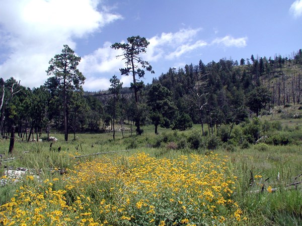
- The Indian Meadow Nature Trail near the campground is 0.6 miles (1 km) and winds around a grassy area surrounded by a mix of broadleaved evergreens, deciduous trees and pines.
Facilities
The campground features 13 sites total with 9 tent, 4 RV sites and 1 group site available by reservation.
Campsite occupancy is limited to 6 persons or 2 tents, per site. The group site allows 10 -20 persons.
No open fires (this includes portable propane fire rings and charcoal) are permitted anywhere in the park. Only cooking stoves or lanterns using containerized fuel are permitted.
Tent sites are hike-in only (61 to 178 feet/19 to 54 m from parking) and cannot accommodate RV parking. Each site offers a tent pad and picnic table.
RV sites are gravel with picnic tables.
No shower facilities, hookups or dump stations.
Dog Canyon is remote. Fuel your vehicle and purchase supplies before heading to the park.
The use of weight-bearing hammocks, slacklines, tarps or similar devices tied to natural and/or manmade features is prohibited. This regulation is intended to protect the landscape and environment in the park, as these devices may cause damage to trees and other features and encourage camping out of bounds and off designated camping pads. Incidental and temporary lines for clothes drying or Wilderness food storage are not subject to this limitation.
Natural Features
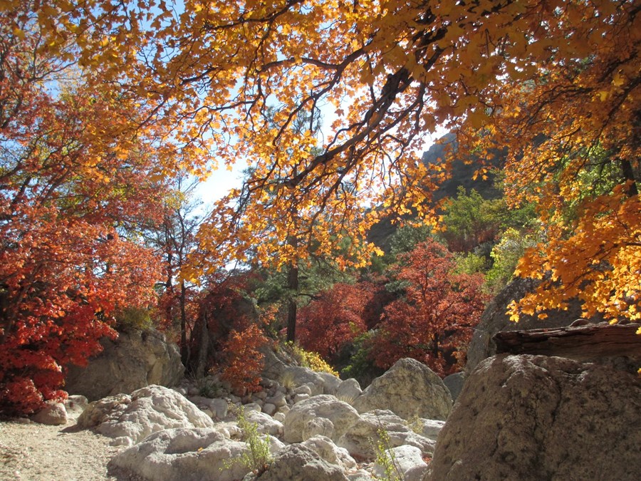
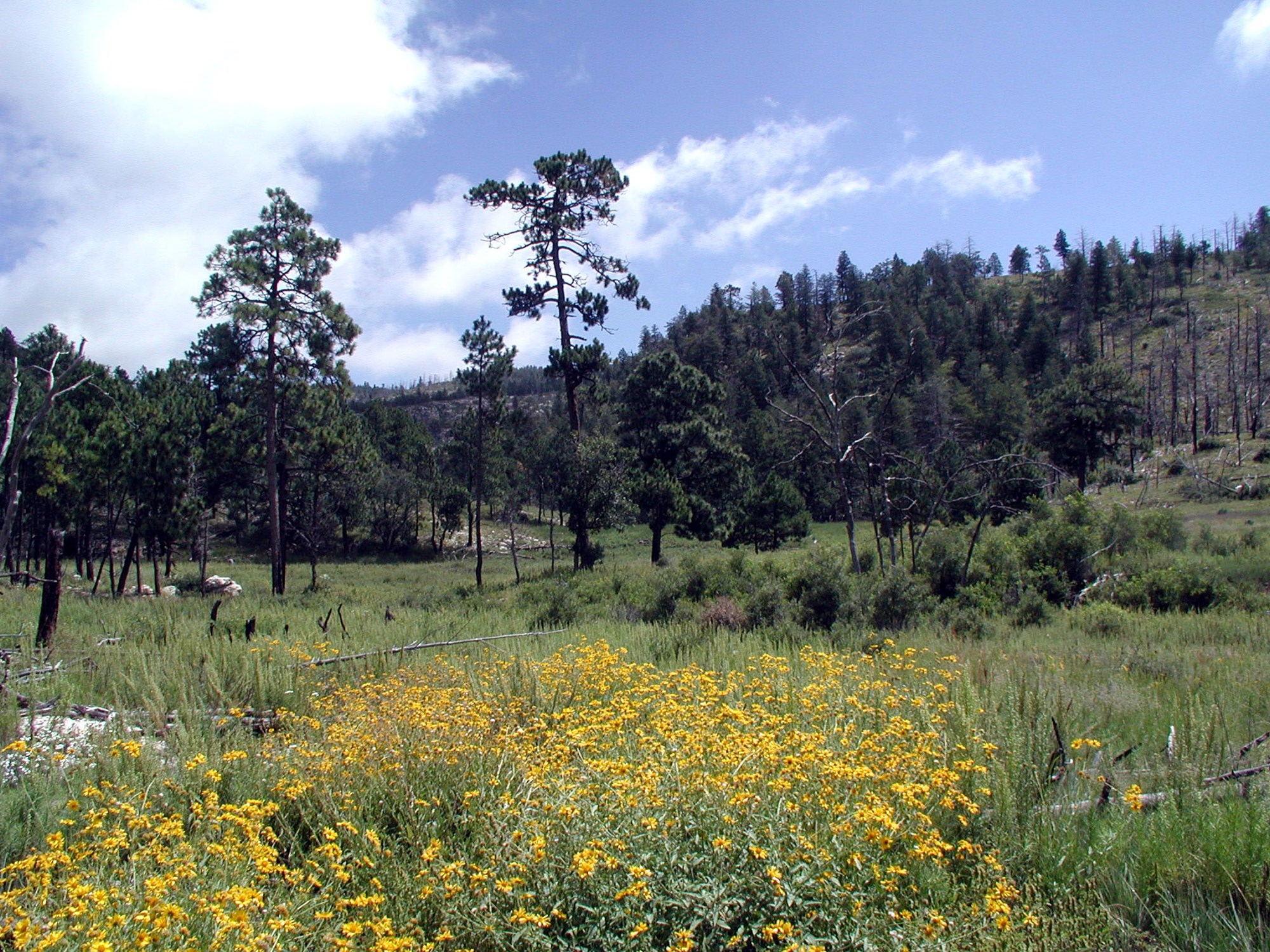
- The Dog Canyon Campground is in an area with wooded drainages, meadows, and grassy hillsides and sparsely vegetated outcrops. Large alligator junipers, oaks, maples, madrones, piñon and ponderosa pine are in and near the campground. Shrubs include ceanothus, sumacs, mahonia, and mountain mahogany. Desert-adapted plants include a variety of prickly pear cactus, agave, and chollas. Western scrub jays, acorn woodpeckers, and a variety of hummingbirds frequent the area. Mule deer are commonly seen.
- Algerita ridge casts morning shade, and cool mountain air settles in the canyon bottom nightly. Daytime highs are similar to the Pine Springs area, but nighttime lows can be much cooler. Views of the night sky are pristine.
- During the Permian Period, shallow marine water that was behind the Capitan Reef, created a series of layers of limestone and sandstone. Faulting and subsequent erosion created the canyon. Nearby topographic features include Lost Peak, Blue Ridge, West Dog Canyon, and the Brokeoff and Cutoff Mountains.
Contact Info
This location has limited staffing. Please call (915) 828-3251 for general information.Nearby Attractions
Carlsbad Caverns National Park: In addition to a variety of cave tours, the national park also offers hiking trails and a scenic drive. Rattlesnake Springs and Slaughter Canyon, part of Carlsbad Caverns are nearer attractions for day use activities. Birding is excellent at Rattlesnake Springs.
Lincoln National Forest: The Guadalupe District of the Lincoln National Forest is located just over the state line, north of the national park. Road access is through New Mexico, north of White’s City, via Dark Canyon Road to NM SR 137 through Queen (also the way to the national park’s Dog Canyon). The forest provides for various camping, hiking, caving, hunting, and picnicking opportunities. Sitting Bull Falls is a nice waterfall and picnic area in the Lincoln National Forest. Five Point Vista is a glorious ridge road ride of the area, closer to Dog Canyon.
Fort Davis National Historic Site and State Park: Fort Davis is one of the best surviving examples of an Indian Wars' frontier military post in the Southwest. From 1854 to 1891, Fort Davis was strategically located to protect emigrants, mail coaches, and freight wagons on the Trans-Pecos portion of the San Antonio-El Paso Road and on the Chihuahua Trail. This is located about 2.5 hours south of the park. A state park is located nearby with camping and a scenic drive. Also located in Fort Davis is McDonald Observatory with several programs available.
White Sands National Park: Rising from the heart of the Tularosa Basin is one of the world's great natural wonders - the glistening white sands of New Mexico. Great wave-like dunes of gypsum sand have engulfed 275 square miles of desert, creating the world's largest gypsum dunefield. White Sands National Park preserves a major portion of this unique dunefield, along with the plants and animals that live here.
Hueco Tanks State Park & Historic Site: Hueco Tanks State Park is located on the east side of El Paso, about an hour and a half from the Guadalupes. At Hueco Tanks, you can hike, rock climb, bird watch, study nature and history, picnic and stargaze. Visitors can take guided and self-guided tours to view rock imagery.
Charges & Cancellations
- Individual Site: A $10.00 service fee will apply if you modify your reservation or change your stay dates. Cancelling your reservation prior to 11:59 p.m. Eastern Time two nights before your stay will incur a $10.00 cancellation fee. Camping reservations cancelled the day before and day of arrival incur a $10 cancellation fee and forfeit the first night's use fee.
- If you need to cancel or modify your reservation, you must do so through Recreation.gov.
- Group Site: Customers who cancel a group overnight reservation less than 14 days before the arrival date will pay a $10.00 service fee & forfeit the first night's use fee.
-
Frijole Horse Corral Campground
Reservable Campground
This site is designed for stock use. If your party does not need access to a horse campsite, please consider selecting a campsite at the Pine Springs Campground located…
Reserve on Recreation.gov- Hiking
- Picnicking
- Amphitheater
- Backpacking
Details
Fees: Guadalupe Mountains National Park group campsite fees are $20.00 per night. Frijole Horse Corral Campsite allows a minimum of 1 person and is limited to a maximum of 12 persons in the site. An additional fee of $15 per night is required to…
Overview
- This site is designed for stock use. If your party does not need access to a horse campsite, please consider selecting a campsite at the Pine Springs Campground located one mile west of Frijole Horse Corral Campground.
- Frijole Horse Corral Campground is located one mile east of Pine Springs Visitor Center, just off U.S. 62/180 and at an elevation of 5,400 feet.
- This campground has a large gravel parking area that is used as trailhead parking to access the Foothills and Frijole trails. It provides additional parking for horse trailers.
- The Frijole Horse Corral campground is located 1 mile from the Pine Springs area and Visitor Center. It is 100 miles or a 2 hour drive from the Dog Canyon horse corrals by road.
- The campground is open year-round and is busiest, March-May and September-November.
- High winds with over 50 mph gusts are common, especially during winter and spring
- The Frijole Horse Corral Campsite is approximately 100 yards from the very busy U.S. 62/180 highway, expect traffic noise, including large trucks, 24 hours a day.
Recreation
Stock users may access trails in the Pine Springs area after obtaining a free stock use permit at the Pine Springs Visitor Center (8:00 a.m. to 3:30 p.m.) the day of their trip or up to 24 hours in advance. Trails that allow stock use are indicated on the park map and on maps for sale at the park bookstore.
Riders must start their trip from the Frijole corral using the Foothills trail or Frijole trail.
The use of horses or pack animals is allowed on the following trails, routes or areas:
Trails designated for stock use are as follows:
- El Capitan Trail, Salt Basin Overlook Trail, Foothills Trail, Frijole Trail, Tejas Trail, Bush Mountain Trail from Tejas Junction at Pine Top to hitching racks at Bush Mountain, Bush Mountain Trail from Dog Canyon to Marcus Junction and the Marcus Trail, Blue Ridge Trail from Marcus Junction to Tejas Trail, McKittrick Canyon Trail from Tejas Trail to McKittrick Ridge Campground hitching racks
Roads designated for stock use are as follows:
- Dog Canyon Road & designated old roads in the west side escarpment area. Note that not all the old roads within the park are open for stock use.
- These roads are open to stock use to allow access to designated trails and because there are no alternative trails or routes.
Hikers will find many opportunities as well:
- The nearby Pine Springs Trailhead includes access to many different types of hikes. Hikes to Guadalupe Peak or the Bowl are strenuous, 8-9 miles, and have 2500-3000 feet of elevation gain. Another strenuous hike is the Devil’s Hall Trail (4.2 miles round-trip, 500 feet elevation gain, ½ of the trail in a rocky, uneven wash which includes route-finding and boldering skills). For a more moderate hike consider the the Frijole/Foothills Trail. The El Capitan Trail is a strenuous trail that offers excellent open views of the surrounding desert and close approaches to the cliff face of El Capitan. Because of its distance, lack of shade, some primitive route travel, and numerous elevation changes, this trail is best saved for cooler times of year and for people with experience in route-finding.
- The ruins of a Butterfield stage station, called the Pinery are next to the highway, and a short, paved nature trail connects the visitor center and the historic site.
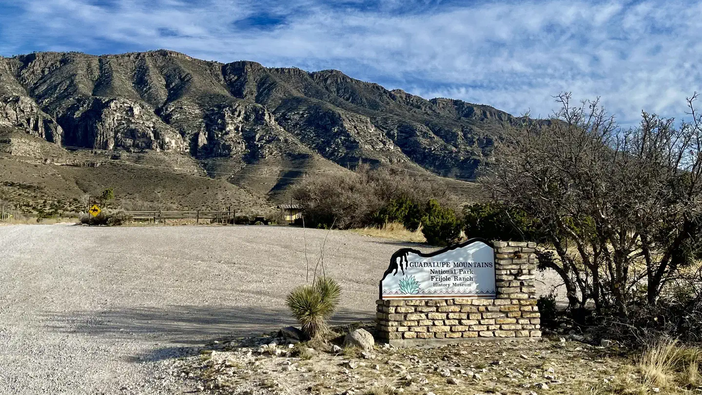
- The Frijole Ranch & History Museum is .25 miles away. The grounds are always open, but the museum is staffed intermittently.
- Six miles to the east on Hwy 62/180 is McKittrick Canyon. This area offers three trails, the McKittrick Canyon Nature Trail (0.9 miles loop), McKittrick Canyon Trail (4.8 miles round-trip to Pratt Cabin or 6.8 miles round-trip to the Grotto) and the Permian Reef Trail (8.4 miles round-trip, for serious geology buffs).
Facilities
No open fires (this includes portable propane fire rings and charcoal) are permitted anywhere in the park. Only cooking stoves or lanterns using containerized fuel are permitted.
This site has the following amenities to accommodate for stock users: (4 corrals, hitching posts, extra trailer parking (not level), water troughs, stock watering tanks). Please be aware that recreating near horse campgrounds can provide a different experience to non-stock users. Please be courteous and select non-horse sites at Pine Springs Campground.
This area may be shared with other stock users for day use purpose. Reserving the campsite does not guarantee you will have the area to yourself.
Frijole Horse Corral Campsite has a large gravel parking area that is used for trailhead parking to access the Foothills and Frijole trails. It provides additional parking for horse trailers. The area is not level.
Campsite occupancy allows 1 – 12 persons.
The site has two tent pads (one is raised for accessibility) and two RV parking spaces (one site is paved for accessibility).
This site offers a picnic table and drinking fountain.
The Park does not have shower facilities, hookups or a dump station. Remember to fill your holding tanks prior to arrival.
The Park is remote. Fuel your vehicle and purchase supplies before heading to the park. The visitor center bookstore carries limited camping and hiking supplies.
Cell phone service may be available in the Frijole Ranch and Pine Springs area , depending on your service provider. Free Wi-Fi may be available in front of the Pine Springs Visitor Center.
Overnight backcountry permits are required for wilderness camping. Permits may be obtained in person at the Pine Springs Visitor Center (open 8:00 AM to 4:30 PM) 24 hours before the start of your trip.
The use of weight-bearing hammocks, slacklines, tarps or similar devices tied to natural and/or manmade features is prohibited. This regulation is intended to protect the landscape and environment in the park, as these devices may cause damage to trees and other features and encourage camping out of bounds and off designated camping pads. Incidental and temporary lines for clothes drying or Wilderness food storage are not subject to this limitation.
Natural Features
- The Frijole Corral Campground is in an area with small, scattered trees, shrubs, and grasses. Trees include gray oaks and redberry junipers. Higher elevations include Douglas fir and hop-hornbeam. Shrubs include whitethorn acacia, Mexican orange, Apache plume, sumacs, and algerita. Desert-adapted plants also occur in this area, and include prickly pear cactus, New Mexico agave, sotols, and soaptree yuccas.
- Hunter Peak, El Capitan and Guadalupe Peak are visible from the campground. Riding up either side of Pine Springs canyon offers excellent views of the surrounding desert.
- Birds commonly seen and/or heard around the campground can include Canyon towhees, turkey vultures, white-winged doves, common ravens, chipping sparrows, Say’s phoebes, common poorwills, and Woodhouse’s scrub jays depending on the season.
- Night sky visibility is excellent and nearly pristine. Nearby high ridges and peaks are situated to north.
Nearby Attractions
- Carlsbad Caverns National Park: In addition to a variety of cave tours, the national park also offers hiking trails and a scenic drive. Rattlesnake Springs and Slaughter Canyon, part of Carlsbad Caverns are nearer attractions for day use activities. Birding is excellent at Rattlesnake Springs.
- Lincoln National Forest: The Guadalupe District of the Lincoln National Forest is located just over the state line, north of the national park. Road access is through New Mexico, north of White’s City, via Dark Canyon Road to NM SR 137 through Queen (also the way to the national park’s Dog Canyon). The forest provides for various camping, hiking, caving, hunting, and picnicking opportunities. Sitting Bull Falls is a nice waterfall and picnic area in the Lincoln National Forest. Five Point Vista is a glorious ridge road ride of the area, closer to Dog Canyon.
- Fort Davis National Historic Site and State Park: Fort Davis is one of the best surviving examples of an Indian Wars' frontier military post in the Southwest. From 1854 to 1891, Fort Davis was strategically located to protect emigrants, mail coaches, and freight wagons on the Trans-Pecos portion of the San Antonio-El Paso Road and on the Chihuahua Trail. This is located about 2.5 hours south of the park. A state park is located nearby with camping and a scenic drive. Also located in Fort Davis is McDonald Observatory with several programs available.
- White Sands National Park: Rising from the heart of the Tularosa Basin is one of the world's great natural wonders - the glistening white sands of New Mexico. Great wave-like dunes of gypsum sand have engulfed 275 square miles of desert, creating the world's largest gypsum dunefield. White Sands National Park preserves a major portion of this unique dunefield, along with the plants and animals that live here.
- Hueco Tanks State Park & Historic Site: Hueco Tanks State Park is located on the east side of El Paso, about an hour and a half from the Guadalupes. At Hueco Tanks, you can hike, rock climb, bird watch, study nature and history, picnic and stargaze. Visitors can take guided and self-guided tours to view rock imagery.
Charges & Cancellations
- Group Site: Customers who cancel a group overnight reservation less than 14 days before the arrival date will pay a $10.00 service fee & forfeit the first night's use fee.
- If you need to cancel or modify your reservation you must do so through Recreation.gov.
-
Guadalupe Peak
Not reservable on Recreation.gov Campground
The campground is located on the Guadalupe Peak trail, 3.1 miles from the Pine Springs trailhead, and 1 mile below the Peak. The campground is on a small knoll and only…
Details
The campground is located on the Guadalupe Peak trail, 3.1 miles from the Pine Springs trailhead, and 1 mile below the Peak. The campground is on a small knoll and only minimally protected from high winds. Makeshift windbreaks and rocks left behind on tent pads are a reminder to others to prepare for wind. Five campsites are available; a backcountry permit is required for use. -
Pine Springs Campground
Reservable Campground
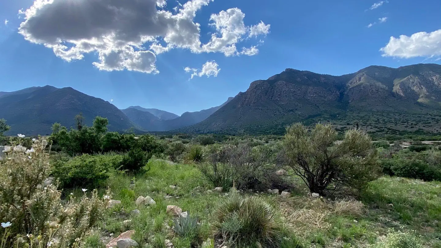
The Pine Springs RV campground is not a traditional campground. Be aware, this is a paved parking lot. The area shares a popular and busy trailhead accessing four major…
Reserve on Recreation.gov- Hiking
- Picnicking
- Amphitheater
- Backpacking
Details
Fees: Guadalupe Mountains National Park group campsite fees are $60.00 per night. Group site occupancy requires a minimum of 10 persons and is limited to a maximum of 20 persons per site. Groups larger than 20 persons are required to obtain a…
Overview
- The Pine Springs RV campground is not a traditional campground. Be aware, this is a paved parking lot. The area shares a popular and busy trailhead accessing four major trails. The area is frequently congested with day use hikers searching for available parking and with foot traffic from overflow parking areas.
- Before booking a reservation: It is your responsibility to review all (Site Details, Allowable Equipment, Allowable Vehicle/Driveway and Need to Know) for the individual campsite. Failing to do so may result in being prohibited from occupying the site upon your arrival. Refunds are not provided by the park.
- Pine Springs Campground is located near the Pine Springs Visitor Center, just off U.S. 62/180 and at an elevation of 5,730 feet.
- The location offers great hiker access to the Guadalupe Mountains National Park trail system.
- The campground is situated at the opening to the Pine Springs Canyon with spectacular views of the world’s best example of a fossil reef and of the vast Permian Basin to the east.
- The campground is open year-round and is busiest, March-May and September-November.
- High winds with over 50 mph gusts are common, especially during winter and spring.
Recreation
- The Pine Springs Trailhead includes access to many different types of hikes. Hikes to Guadalupe Peak or the Bowl are strenuous, 8-9 miles, and have 2500-3000 feet of elevation gain. Another strenuous hike is the Devil’s Hall Trail (4.2 miles round-trip, 500 feet elevation gain, ½ of the trail in a rocky, uneven wash which includes route-finding and boldering skills). For a more moderate hike consider the the Frijole/Foothills Trail. The El Capitan Trail offers excellent open views of the surrounding desert and close approaches to the cliff face of El Capitan. Because of its distance, lack of shade, some primitive route travel, and numerous elevation changes, this trail is best saved for cooler times of year and for people with experience in route-finding.
- The ruins of a Butterfield stage station, called the Pinery are next to the highway, and a short, paved nature trail connects the visitor center and the historic site.
- The Frijole Ranch & History Museum is 1.5 miles away. The grounds are always open, but the museum is staffed intermittently.
- Seven miles to the east on Hwy 62/180 is McKittrick Canyon. This area offers three trails, the McKittrick Canyon Nature Trail (0.9 miles loop), McKittrick Canyon Trail (4.8 miles round-trip to Pratt Cabin or 6.8 miles round-trip to the Grotto) and the Permian Reef Trail (8.4 miles round-trip, for serious geology buffs).
Facilities
The campground features 35 sites total with 20 tent, 13 RV and 2 group sites available by reservation.
Campsite occupancy is limited to 6 persons or 2 tents, per site. Group sites allow 10-20 persons per site.
No open fires (this includes portable propane fire rings and charcoal) are permitted anywhere in the park. Only cooking stoves or lanterns using containerized fuel are permitted.
Tent sites are hike-in only (38’ – 277’ from parking) and cannot accommodate RV parking due to the narrow access road. Each site offers a tent pad and picnic table.
RV sites are paved but very basic, offering picnic tables at most sites.
No shower facilities, hookups or dump stations.
The park is remote. Fuel your vehicle and purchase supplies before heading to the park. The visitor center bookstore carries limited camping and hiking supplies.
The use of weight-bearing hammocks, slacklines, tarps or similar devices tied to natural and/or manmade features is prohibited. This regulation is intended to protect the landscape and environment in the park, as these devices may cause damage to trees and other features and encourage camping out of bounds and off designated camping pads. Incidental and temporary lines for clothes drying or Wilderness food storage are not subject to this limitation.
Natural Features
- The Pine Springs Campground is in an area with small, scattered trees, shrubs, and grasses. Trees include gray oaks and alligator junipers, which cast partial shade at some sites. Texas madrones, bigtooth maples, chinquapin oaks, and ponderosa pines become more common along the canyon floor. Higher elevations include Douglas fir and hop-hornbeam. Shrubs include whitethorn acacia, Mexican orange, Apache plume, sumacs, and algerita. Desert-adapted plants also occur in this area, and include prickly pear cactus, New Mexico agave, sotols, and soaptree yuccas.
- Hunter Peak and cross-sectional views of the Capitan reef are visible from the campground. Roadside pullouts (one mile and four miles away) provide excellent views of El Capitan. Hiking into Pine Springs canyon or along the foothills reveals Guadalupe Peak. The Guadalupe Peak trail ascends to the highest point in Texas and offers excellent views of the surrounding desert.
- Birds commonly seen and/or heard around the campground can include Canyon towhees, turkey vultures, white-winged doves, common ravens, chipping sparrows, Say’s phoebes, common poorwills, and phainopeplas depending on the season.
- Night sky visibility is excellent and nearly pristine directly overhead, to the south, and the southwest. Nearby high ridges and peaks are situated to the west and north.
Nearby Attractions
Carlsbad Caverns National Park: In addition to a variety of cave tours, the national park also offers hiking trails and a scenic drive. Rattlesnake Springs and Slaughter Canyon, part of Carlsbad Caverns are nearer attractions for day use activities. Birding is excellent at Rattlesnake Springs.
Lincoln National Forest: The Guadalupe District of the Lincoln National Forest is located just over the state line, north of the national park. Road access is through New Mexico, north of White’s City, via Dark Canyon Road to NM SR 137 through Queen (also the way to the national park’s Dog Canyon). The forest provides for various camping, hiking, caving, hunting, and picnicking opportunities. Sitting Bull Falls is a nice waterfall and picnic area in the Lincoln National Forest. Five Point Vista is a glorious ridge road ride of the area, closer to Dog Canyon.
Fort Davis National Historic Site and State Park: Fort Davis is one of the best surviving examples of an Indian Wars' frontier military post in the Southwest. From 1854 to 1891, Fort Davis was strategically located to protect emigrants, mail coaches, and freight wagons on the Trans-Pecos portion of the San Antonio-El Paso Road and on the Chihuahua Trail. This is located about 2.5 hours south of the park. A state park is located nearby with camping and a scenic drive. Also located in Fort Davis is McDonald Observatory with several programs available.
White Sands National Park: Rising from the heart of the Tularosa Basin is one of the world's great natural wonders - the glistening white sands of New Mexico. Great wave-like dunes of gypsum sand have engulfed 275 square miles of desert, creating the world's largest gypsum dunefield. White Sands National Park preserves a major portion of this unique dunefield, along with the plants and animals that live here.
Hueco Tanks State Park & Historic Site: Hueco Tanks State Park is located on the east side of El Paso, about an hour and a half from the Guadalupes. At Hueco Tanks, you can hike, rock climb, bird watch, study nature and history, picnic and stargaze. Visitors can take guided and self-guided tours to view rock imagery.
Charges & Cancellations
- Individual Site: A $10.00 service fee will apply if you modify your reservation or change your stay dates. Cancelling your reservation prior to 11:59 p.m. Eastern Time two nights before your stay will incur a $10.00 cancellation fee. Camping reservations cancelled the day before and day of arrival incur a $10 cancellation fee and forfeit the first night's use fee.
- If you need to cancel or modify your reservation, you must do so through Recreation.gov.
- Group Site: Customers who cancel a group overnight reservation less than 14 days before the arrival date will pay a $10.00 service fee & forfeit the first night's use fee.
Show 2 more campgrounds
-
Tejas Wilderness Campground
Not reservable on Recreation.gov Campground
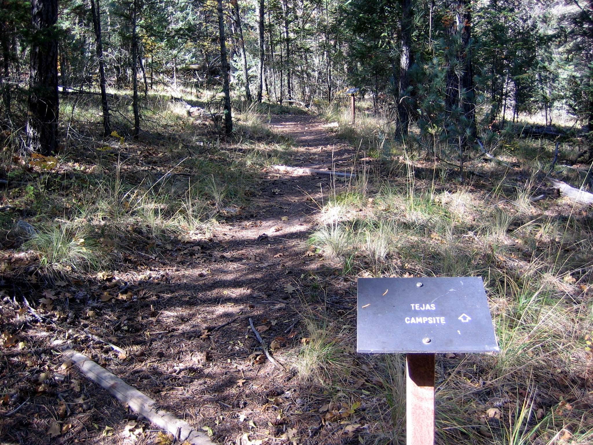
A backcountry use permit is required for all use of these campsites. The extra distance to the Tejas Wilderness Campground is worth the time for those who wish to stay…
Details
A backcountry use permit is required for all use of these campsites. The extra distance to the Tejas Wilderness Campground is worth the time for those who wish to stay in a more densely forested surrounding. The tall trees provide deep shade in the morning and late afternoon and protection from high winds aloft. Centrally located, the Tejas campground is 5.5 miles from Pine Springs trailhead or 6.2 miles from Dog Canyon. -
Tejas Wilderness Campground
Not reservable on Recreation.gov Campground
The extra distance to the Tejas Wilderness Campground is worth the time for those who wish to stay in a more densely forested surrounding. The tall trees provide deep…
Details
The extra distance to the Tejas Wilderness Campground is worth the time for those who wish to stay in a more densely forested surrounding. The tall trees provide deep shade in the morning and late afternoon and protection from high winds aloft. Centrally located, the Tejas campground is 5.5 miles from Pine Springs trailhead or 6.2 miles from Dog Canyon.
Facilities & Services
Find permits, visitor centers and other services available in the park. Check current hours and availability before you go.
Permits & Passes
Visitor Centers
-
McKittrick Canyon Contact Station
Visitor Center
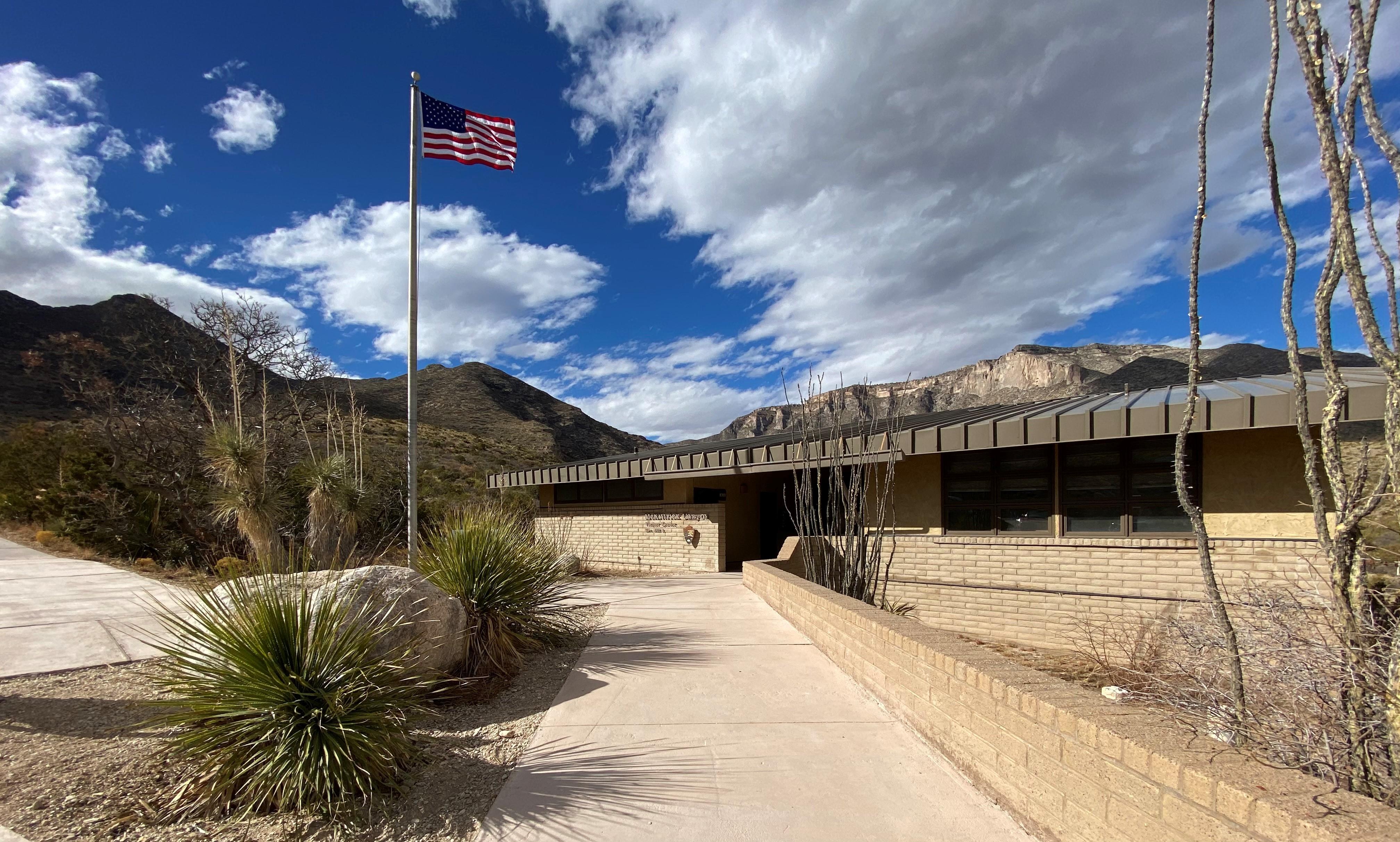
Visit the contact station at the mouth of McKittrick Canyon (staffed during peak seasons in the spring and fall). Pick up a park brochure, and view the outside exhibits…
Details
Visit the contact station at the mouth of McKittrick Canyon (staffed during peak seasons in the spring and fall). Pick up a park brochure, and view the outside exhibits and video.
Other Visitor Services
-
Dog Canyon Ranger Station
Facility
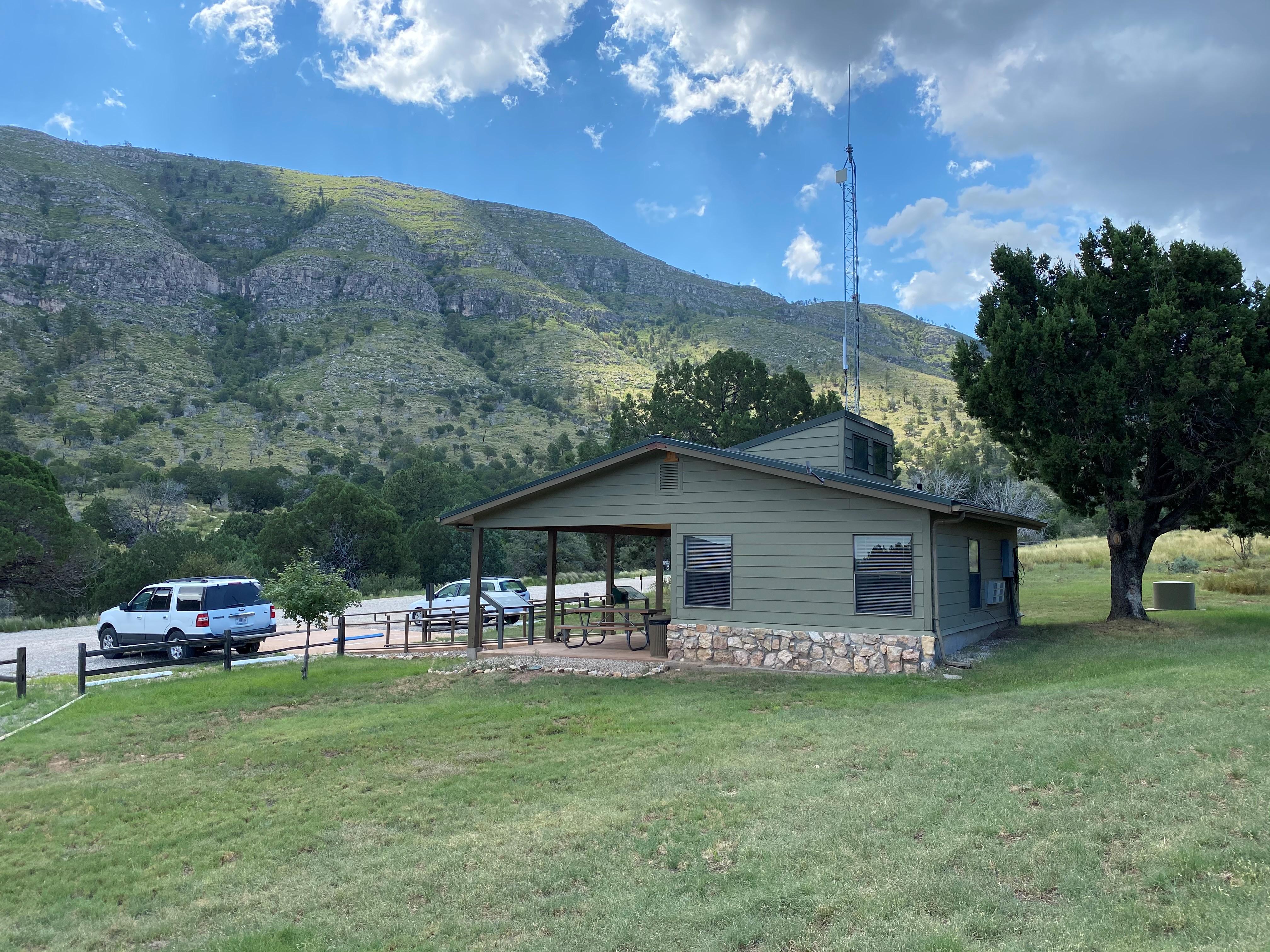
Visitors can pick up brochures and maps from the Dog Canyon Ranger Station when staff or volunteers are available. The Dog Canyon Ranger Station is open intermittently…
361 Dog Canyon Rd., Salt Flat, TX (575) 981-2418 Directions
Details
Visitors can pick up brochures and maps from the Dog Canyon Ranger Station when staff or volunteers are available. The Dog Canyon Ranger Station is open intermittently depending on staff availability. If staff and volunteers are present they may be patrolling trails or the campground and not necessarily inside the station. -
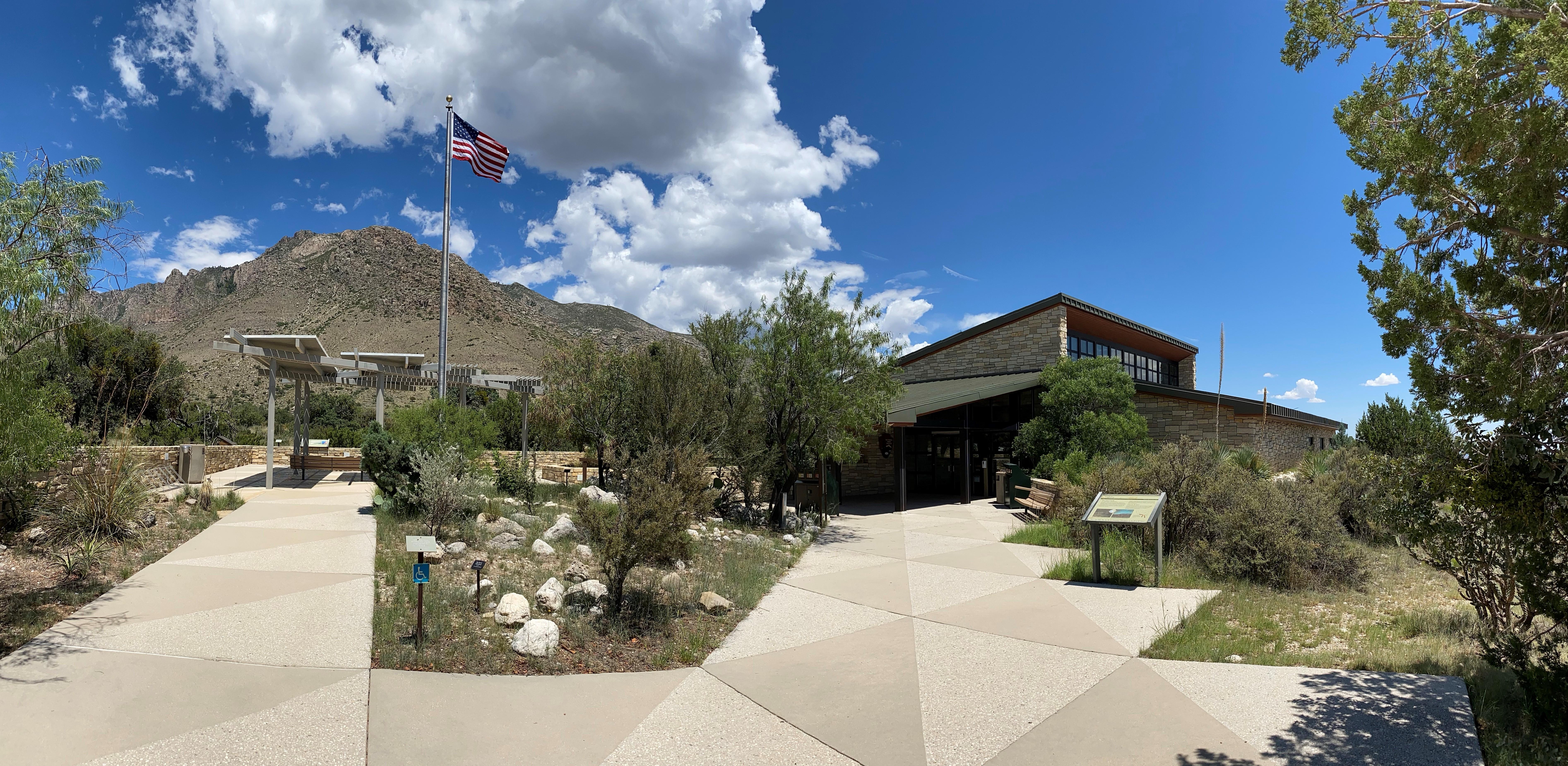
Pine Springs Visitor Center
Facility
Pine Springs Visitor Center is the park's main visitor center and headquarters. Visitors can pay entrance and camping fees, tour the museum, purchase items from the park…
400 Pine Canyon, Salt Flat, TX (915) 828-3251 Directions
Details
Pine Springs Visitor Center is the park's main visitor center and headquarters. Visitors can pay entrance and camping fees, tour the museum, purchase items from the park store, pick up brochures and maps, and obtain overnight wilderness use permits here.
Plan Your Visit
Hours
Open 24 hours, daily · Pine Springs
Hours by area (5)
-
Pine SpringsOpen 24 hours, daily
The Pine Springs area, including the campground, visitor center, trailhead, and associated parking areas are open and accessible all of the time during normal operations. Camping is permitted in designated campsites only.
-
Salt Basin DunesDaily, Sunrise to Sunset
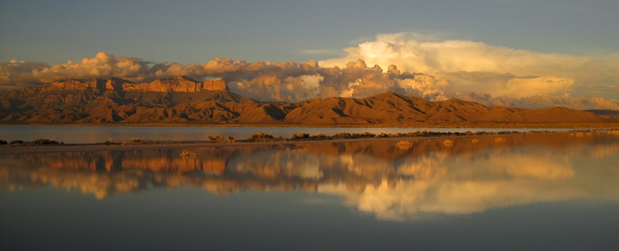
Located on the remote west side of the park, these striking dunes cover nearly 2,000 acres. The Salt Basin Dunes are designated day use only and are accessible for visitation beginning at sunrise to 30 minutes after sunset. Camping is specifically prohibited. The surface of the access road is clay. During rainy weather, the road becomes dangerously slippery; it is unsafe to travel when wet. The speed limit is 25 miles per hour. Watch for livestock on the roadway.
Monday Sunrise to Sunset Tuesday Sunrise to Sunset Wednesday Sunrise to Sunset Thursday Sunrise to Sunset Friday Sunrise to Sunset Saturday Sunrise to Sunset Sunday Sunrise to Sunset -
McKittrick CanyonDaily, 8:00AM - 5:00PM
McKittrick Canyon is designated as day-use only, with visiting hours from 8:00 a.m. - 5:00 p.m. (Mountain Time) daily. Please exit McKittrick Canyon before the posted closing time. The entrance gate on U.S.Highway 62/180 is locked each evening.
Monday 8:00AM - 5:00PM Tuesday 8:00AM - 5:00PM Wednesday 8:00AM - 5:00PM Thursday 8:00AM - 5:00PM Friday 8:00AM - 5:00PM Saturday 8:00AM - 5:00PM Sunday 8:00AM - 5:00PM -
Frijole RanchDaily, Sunrise to Sunset
The Frijole Ranch Road provides access to the Frijole Horse Campsites, the Frijole Ranch History Museum, and the associated trailhead. A picnic area is located at the end of the road. Camping is permitted in designated campsites only.
Monday Sunrise to Sunset Tuesday Sunrise to Sunset Wednesday Sunrise to Sunset Thursday Sunrise to Sunset Friday Sunrise to Sunset Saturday Sunrise to Sunset Sunday Sunrise to Sunset -
Dog CanyonOpen 24 hours, daily
Dog Canyon lies in a secluded, forested canyon on the north end of the park at an elevation of 6,300 feet. Remote and far removed from civilization; it stands at the edge of the wilderness boundary, and offers an ideal location for quiet camping, birding, hiking, and solitude. A visitor center, trailhead, and campground are available. The Dog Canyon district is open all day during normal park operations.
Entrance fees
- $10Per Person
All 2 fees & details
-
Per Person$10
An entrance fee of $10 per person (16 years of age and older) is required; entrance fees/passes permit 1-7 consecutive days of use in this national park. Holders of the Annual, Senior, Military, 4th grade and Access Pass can bring in 3 adults free of charge under their pass. Any pass must be displayed in a vehicle while in the national park.
-
Education/Academic GroupsFree
Entrance fee waivers are available to groups when the purpose of their visit is educational rather than recreational. Completed applications along with required documentation must be submitted via email. Fee waiver requests must be submitted at least six weeks before a scheduled visit to allow for consideration.
Passes
- $35Annual Entrance - Park
Pass details
- Annual Entrance - Park
This pass is valid for entrance into Guadalupe Mountains National Park for one year from the month of purchase. The pass admits up to four adults in a private vehicle and is non-transferable; visitors under 16 years of age are free. You can purchase this pass at the Pine Springs Visitor Center.
Weather
69°F
Sunny · feels like 66°
-
Today
73° 58°
Sunny4% rain
-
Tomorrow
 62° 58°
Patchy rain nearby62% rain
62° 58°
Patchy rain nearby62% rain -
Saturday
66° 56°
Patchy rain nearby45% rain
Updated 3 hr ago
What to expect by season
The Guadalupe Mountains are known for high winds year-round; gusts can reach 60MPH or higher. In winter the mountains experiences occasional, light snowfalls which seldom last more than a day. From May through October, temperatures vary with highs between 80F-100F+ with lows in the 40F-60F range. November to April is generally milder with highs in between 50F-70F with lows in the 30F-50F range. Elevations above 8,000’ will be about 10F cooler than headquarters, with corresponding wind-chill.
Contact the park
Photos
-
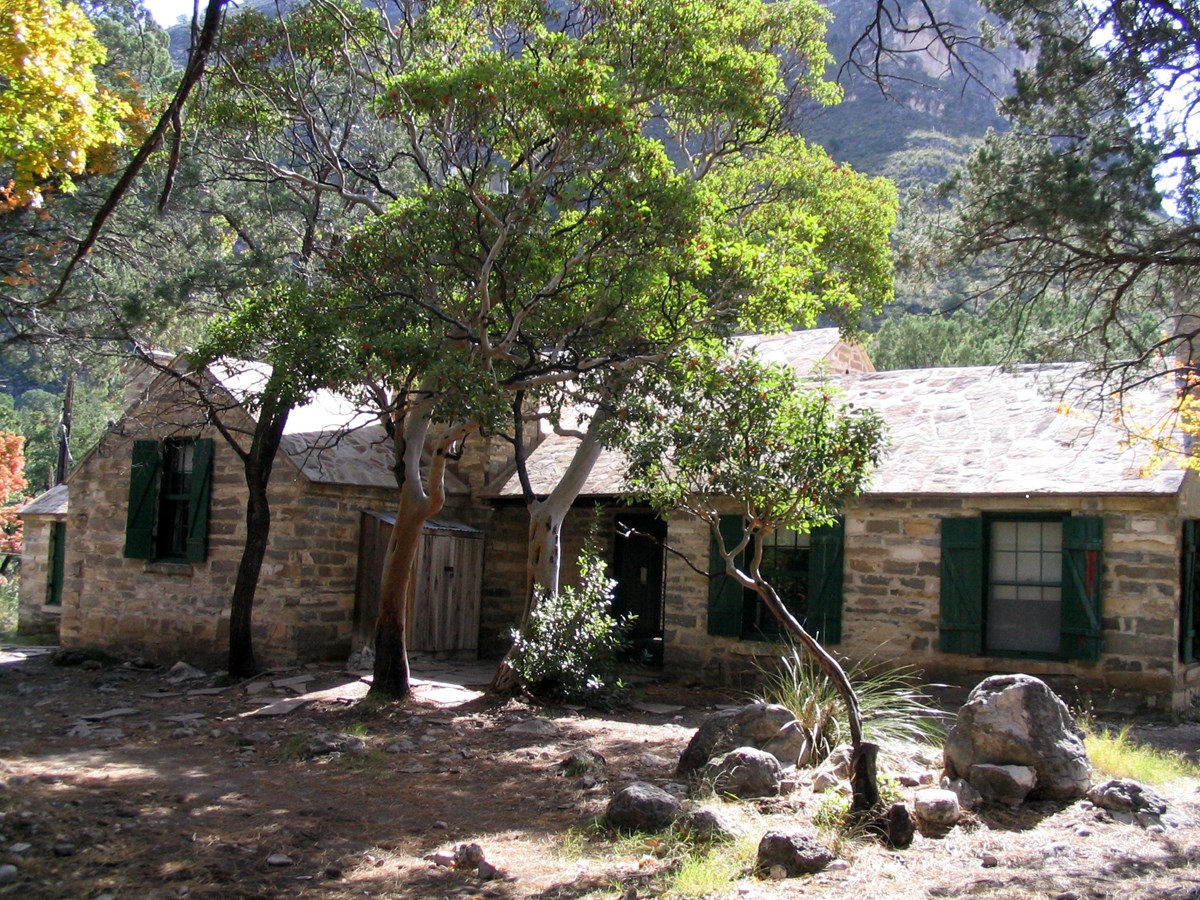
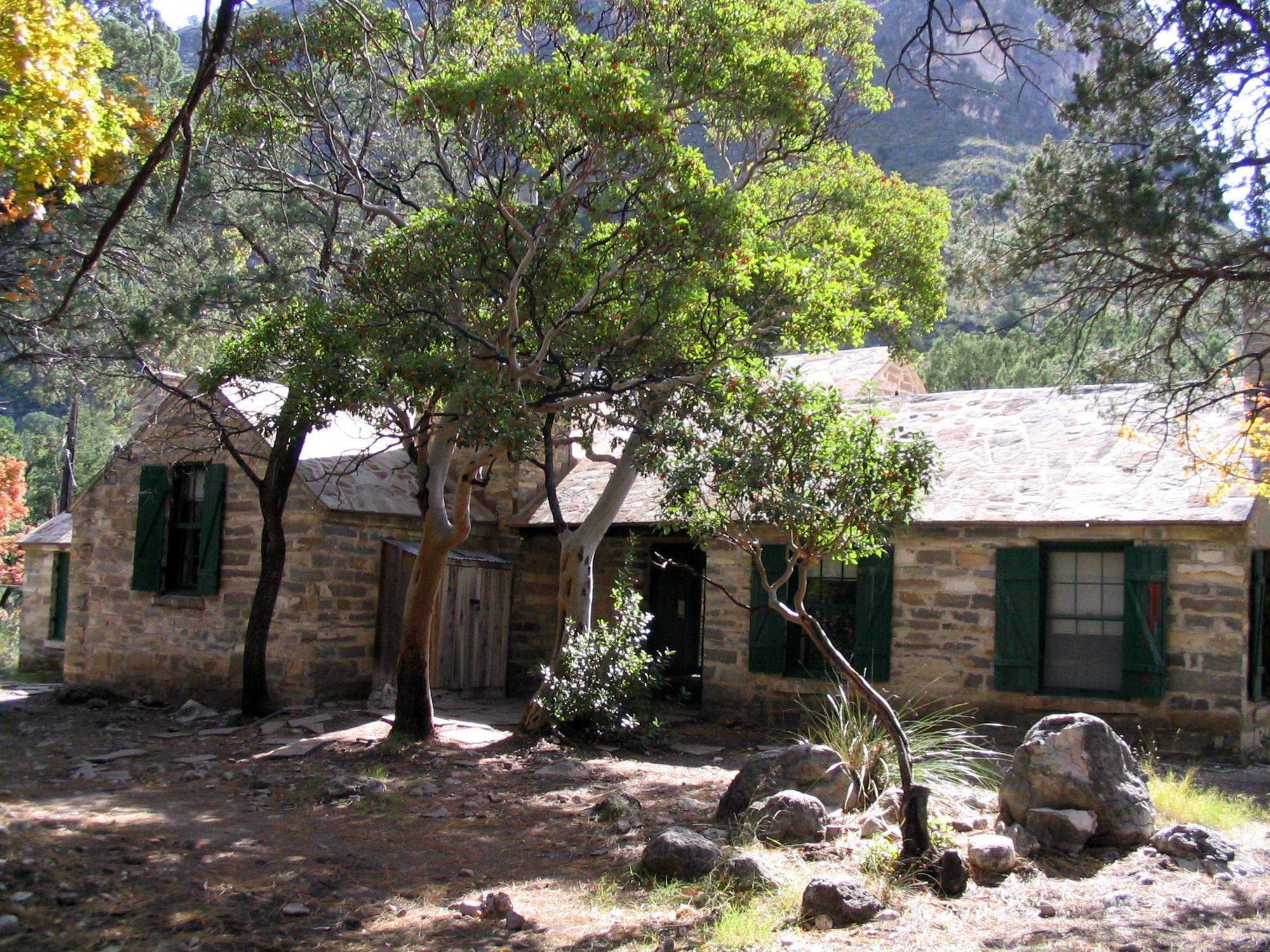
Pratt Cabin is nestled in McKittrick Canyon with abundant trees and — NPS/Buehler -
-
Getting There
Salt Flat, TX 79847
Guadalupe Mountains National Park is located on the north side of US Hwy 62/180. If you are traveling east from El Paso, TX, we are 110 miles East of the city.
Full directions
Follow US Hwy 62/180 North to the Pine Springs Visitor Center. If you are traveling from Van Horn, TX, you will travel north on US 54 and make a right-hand turn at the junction of US 62/180 to arrive at the park. If you are traveling west from Carlsbad, NM, you will travel on US Hwy 62/180 South and cross into Texas. Follow signs to the park.
Mailing address: 400 Pine Canyon, Salt Flat, TX 79847
Map loads when you scroll here